Elevation of Baitadi, Nepal
Location: Nepal > Far-western Development Region > Mahakali >
Longitude: 80.5882803
Latitude: 29.5012645
Elevation: 1452m / 4764feet
Barometric Pressure: 85KPa
Elevation Map:
Satellite Map:
Related Photos:

W_Nepal_1005 Dawn over distant peaks from Khodpe
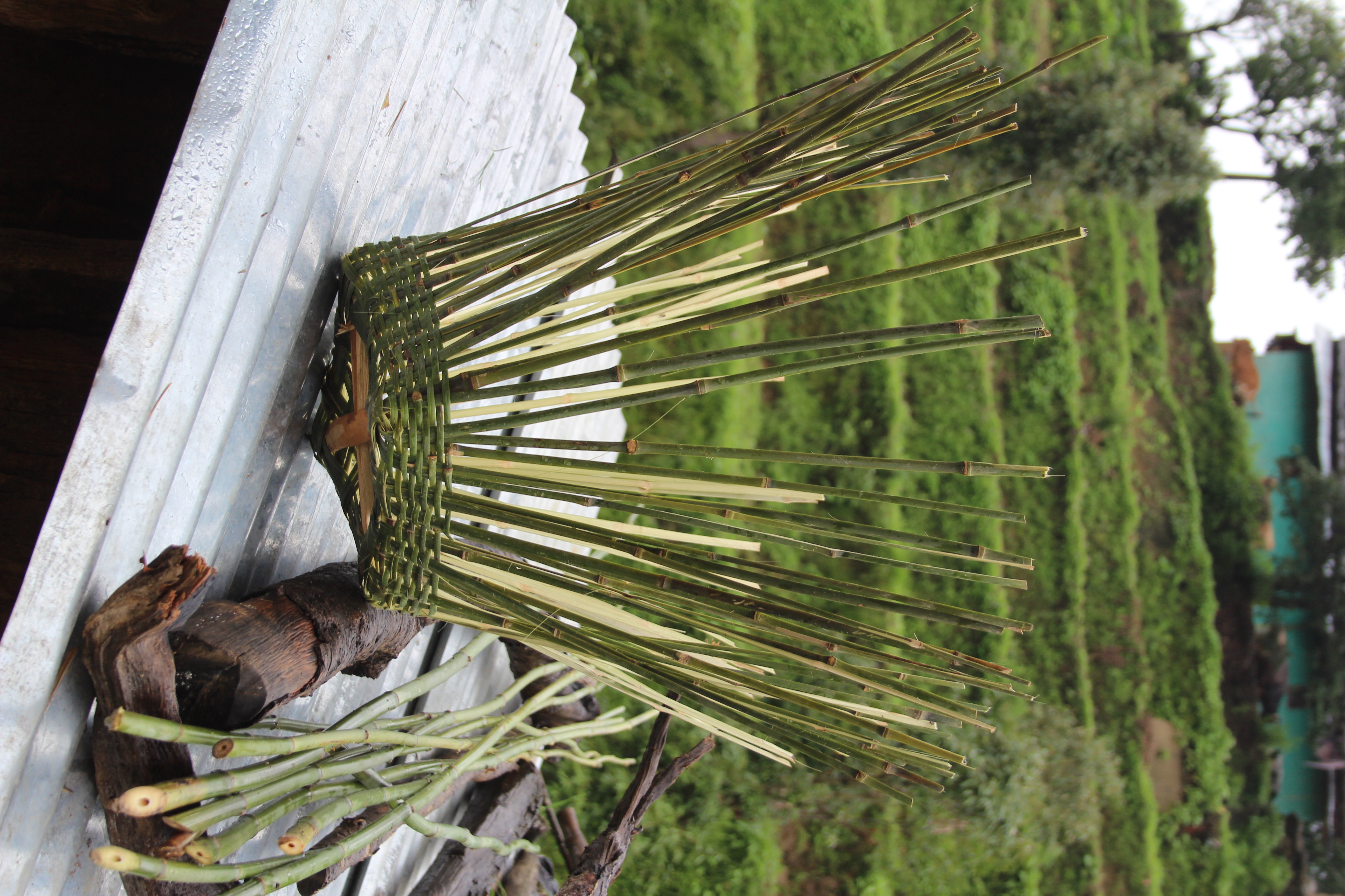
Life in Nepal

Life in Nepal

#Nepal #farwestnepal #drought #children #lifeishard
Topographic Map of Baitadi, Nepal
Find elevation by address:

Places near Baitadi, Nepal:
Mahakali
Dadeldhura
Dipayal Silgadhi
Doti
Sudurpashchim Province
Far-western Development Region
Bhumirajmandau
Bhimdatta
Geta
Bajura
Dhangadhi Airport
Boradadi
Mahakali Highway
Mahakali Highway
Mahakali Highway
Taranagar
Galaxy Secondary School
Dhangadhi
Badimalika
Martadi
Recent Searches:
- Elevation of Corso Fratelli Cairoli, 35, Macerata MC, Italy
- Elevation of Tallevast Rd, Sarasota, FL, USA
- Elevation of 4th St E, Sonoma, CA, USA
- Elevation of Black Hollow Rd, Pennsdale, PA, USA
- Elevation of Oakland Ave, Williamsport, PA, USA
- Elevation of Pedrógão Grande, Portugal
- Elevation of Klee Dr, Martinsburg, WV, USA
- Elevation of Via Roma, Pieranica CR, Italy
- Elevation of Tavkvetili Mountain, Georgia
- Elevation of Hartfords Bluff Cir, Mt Pleasant, SC, USA