Elevation of Baillie, NB E5A 1G2, Canada
Location: Canada > New Brunswick > Charlotte County > Saint James >
Longitude: -67.262929
Latitude: 45.387319
Elevation: 145m / 476feet
Barometric Pressure: 100KPa
Elevation Map:
Satellite Map:
Related Photos:

Fall Colors on Tower Hill Road
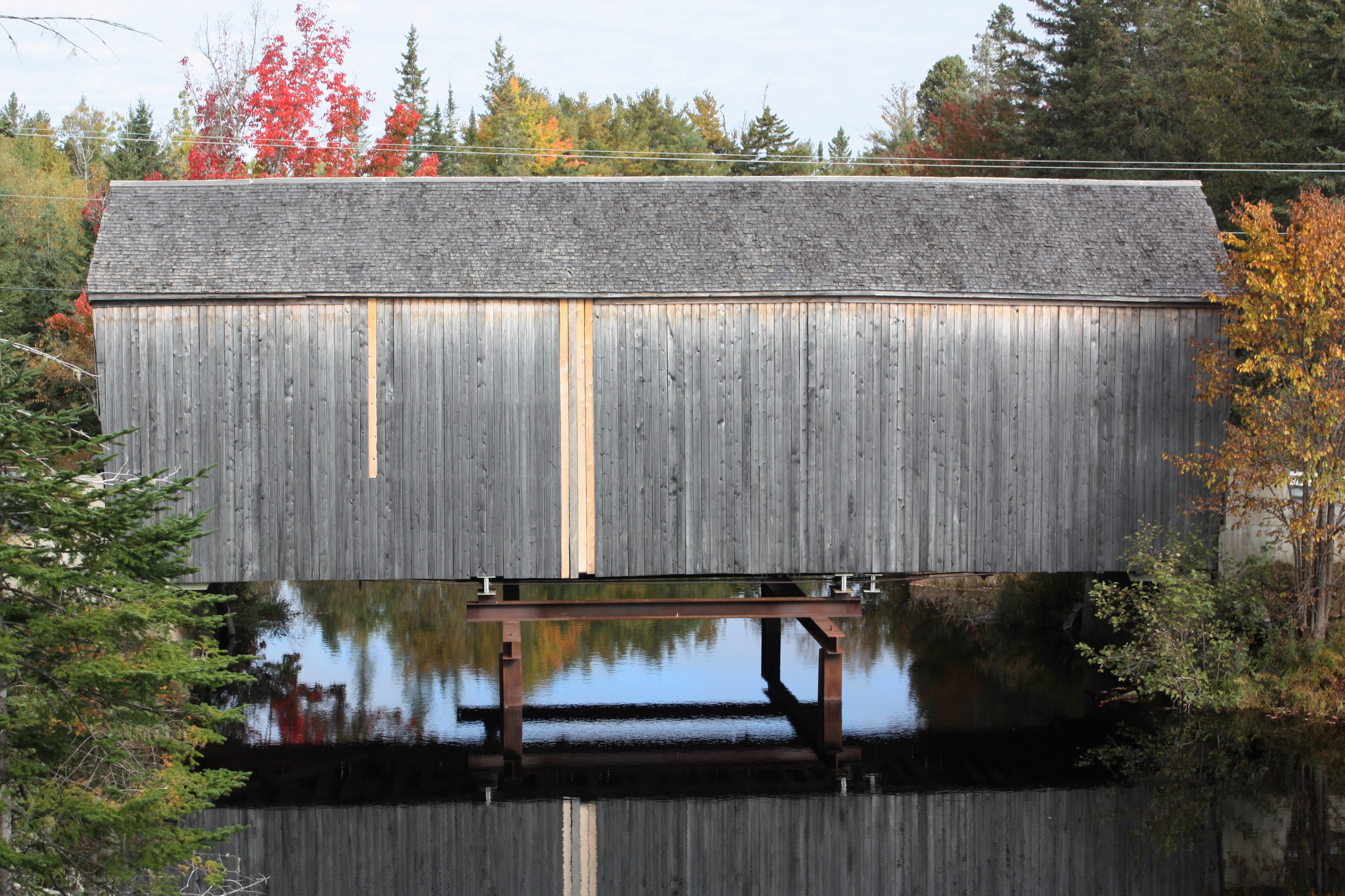
Maxwell Crossing Covered Bridge

Fall Foliage on Tower Hill Road

Maxwell Crossing Covered Bridge

Fall Foliage Along the Digdeguash River

Roadside Pond, Board Road, Charlotte Co., N.B.

Dennis Stream Autumn Shot.

October Beauty Reflecting In Black's Pond On The Board Road.

October Foliage At Black's Pond On The Board Road.

St. Croix River

Dumbarton Covered Bridge-04
Topographic Map of Baillie, NB E5A 1G2, Canada
Find elevation by address:

Places near Baillie, NB E5A 1G2, Canada:
7467 Nb-3
48 Weeks Rd
Honeydale
Richardson Rd, Lawrence Station, NB E5A 1T4, Canada
Lawrence Station
Saint David
Moores Mills Cross Road
E3l 4s8
Saint James
E5a 3b1
309 Tryon Rd
309 Tryon Rd
416 St David Ridge Rd
416 St David Ridge Rd
Oak Bay
10 Happy Valley Rd
Saint Stephen
Pomeroy Ridge
57 Cottage Ln, Oak Bay, NB E3L 4H6, Canada
5 Clark Point Rd, Pomeroy Ridge, NB E3L 5K9, Canada
Recent Searches:
- Elevation of Corso Fratelli Cairoli, 35, Macerata MC, Italy
- Elevation of Tallevast Rd, Sarasota, FL, USA
- Elevation of 4th St E, Sonoma, CA, USA
- Elevation of Black Hollow Rd, Pennsdale, PA, USA
- Elevation of Oakland Ave, Williamsport, PA, USA
- Elevation of Pedrógão Grande, Portugal
- Elevation of Klee Dr, Martinsburg, WV, USA
- Elevation of Via Roma, Pieranica CR, Italy
- Elevation of Tavkvetili Mountain, Georgia
- Elevation of Hartfords Bluff Cir, Mt Pleasant, SC, USA