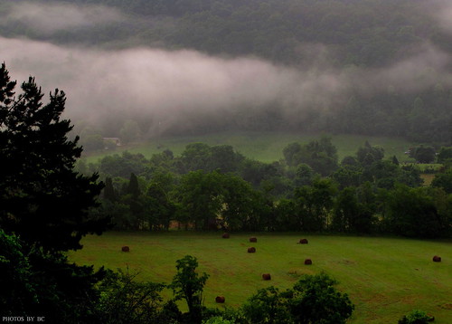
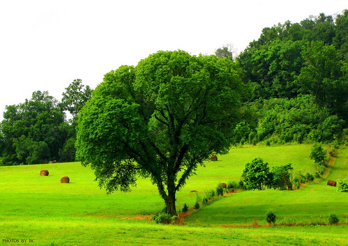
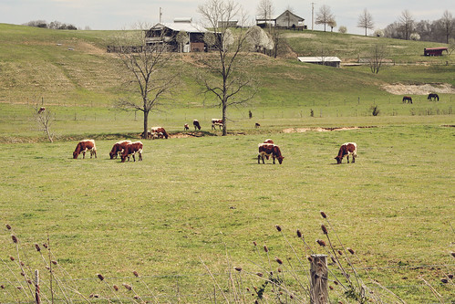
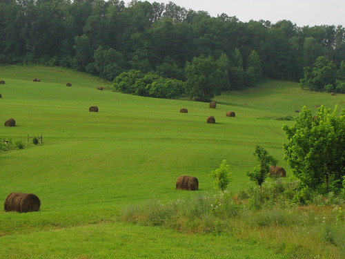
Elevation of Baileyton, TN, USA
Location: United States > Tennessee > Greene County > Greeneville >
Longitude: -82.8368253
Latitude: 36.3342662
Elevation: -10000m / -32808feet
Barometric Pressure: 0KPa
Related Photos:
Topographic Map of Baileyton, TN, USA
Find elevation by address:

Places near Baileyton, TN, USA:
6955 Horton Hwy
174 Van Hill Rd
174 Van Hill Rd
520 Dykes Rd
553 Brown Mountain Rd
129 Chaney Rd
956 Lost Mountain Pike
532 Jubilee Rd
J R Kenney Lane
Kite Road
440 Kite Rd
Ottway Rd, Greeneville, TN, USA
1105 Old Baileyton Rd
3195 Ottway Rd
4175 Babbs Mill Rd
1820 Babbs Mill Rd
1628 Babbs Mill Rd
Greeneville, TN, USA
Doty Chapel Rd, Afton, TN, USA
910 Doty Chapel Rd
Recent Searches:
- Elevation map of Greenland, Greenland
- Elevation of Sullivan Hill, New York, New York, 10002, USA
- Elevation of Morehead Road, Withrow Downs, Charlotte, Mecklenburg County, North Carolina, 28262, USA
- Elevation of 2800, Morehead Road, Withrow Downs, Charlotte, Mecklenburg County, North Carolina, 28262, USA
- Elevation of Yangbi Yi Autonomous County, Yunnan, China
- Elevation of Pingpo, Yangbi Yi Autonomous County, Yunnan, China
- Elevation of Mount Malong, Pingpo, Yangbi Yi Autonomous County, Yunnan, China
- Elevation map of Yongping County, Yunnan, China
- Elevation of North 8th Street, Palatka, Putnam County, Florida, 32177, USA
- Elevation of 107, Big Apple Road, East Palatka, Putnam County, Florida, 32131, USA
- Elevation of Jiezi, Chongzhou City, Sichuan, China
- Elevation of Chongzhou City, Sichuan, China
- Elevation of Huaiyuan, Chongzhou City, Sichuan, China
- Elevation of Qingxia, Chengdu, Sichuan, China
- Elevation of Corso Fratelli Cairoli, 35, Macerata MC, Italy
- Elevation of Tallevast Rd, Sarasota, FL, USA
- Elevation of 4th St E, Sonoma, CA, USA
- Elevation of Black Hollow Rd, Pennsdale, PA, USA
- Elevation of Oakland Ave, Williamsport, PA, USA
- Elevation of Pedrógão Grande, Portugal
