Elevation of Bailey Rd, Chuckey, TN, USA
Location: United States > Tennessee > Greene County > Chuckey >

Longitude: -82.600961

Latitude: 36.1372672

Elevation: 500m / 1640feet

Barometric Pressure: 95KPa

Elevation Map:

elevation map of Bailey Rd, Chuckey, TN, USA
Satellite Map:

Satellite map of Bailey Rd, Chuckey, TN, USA
Related Photos:

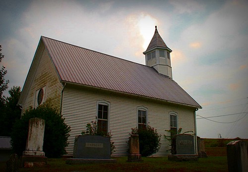
church cemetery graveyard tennessee ebenezer greenecounty earnest chuckey
Ebenezer Methodist Church
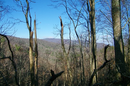
mountain appalachian shelter flint
Appalachian Trail
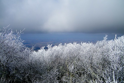
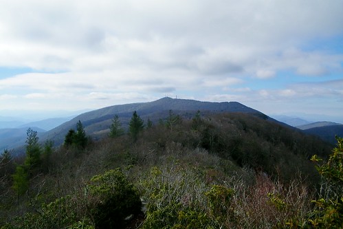
mountain big butt coldspring apalachian
Big Butt - Cold Spring Mountain
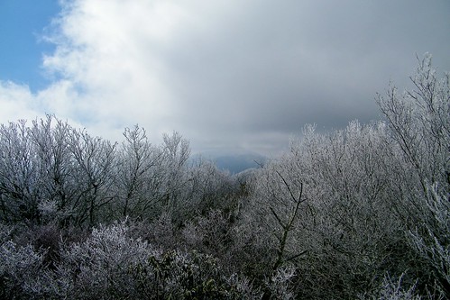
mountain big butt coldspring apalachian
Big Butt - Cold Spring Mountain
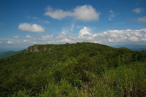
little tennessee cliffs appalachian knob greeneville firescald blackstack
Blackstack Cliffs on Little Firescald Knob
district historic farms earnest
View of Earnest Farms Area 05
camp ski creek little bald cliffs resort appalachian knob viking firescald blackstack
Blackstack Cliffs on Little Firescald Knob
big tennessee appalachian knob greeneville firescald
Big Firescald Knob
north cliffs carolina whiterock appalachian
Whiterock Cliffs
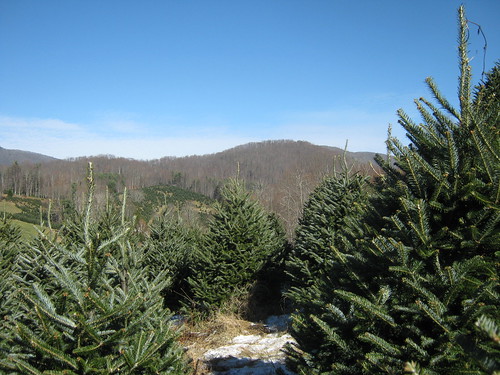
northcarolina christmastree fraserfir frostymountaintreefarm frostymountainchristmastreefarm
View From our Tree
camp creek big bald appalachian knob firescld
Big Firescald Knob
camp creek bald sota summitsontheair elecraftkx3 ki4svm wh6le 88doublet hardrock50 w4ccm028
View of Blackstack Cliffs
little tennessee cliffs appalachian knob greeneville firescald blackstack
Blackstack Cliffs on Little Firescald Knob
20100424-131516
north 2010 spring afternoon grouped
2010.4.19.006402 Tooling Through Unicoi County
cliffs whiterock appalachian
Whiterock Cliffs
20100424-131822
camp creek bald sota summitsontheair elecraftkx3 ki4svm wh6le 88doublet hardrock50 w4ccm028
View of Blackstack Cliffs
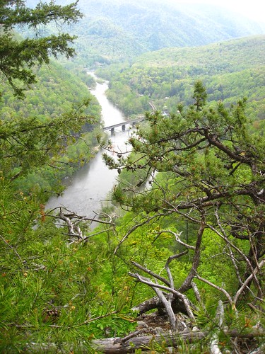
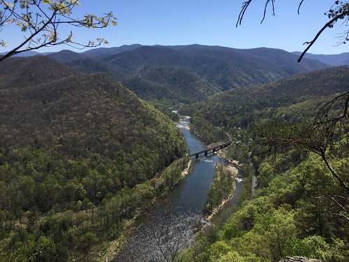
A view of the river from way up.
20100424-132230
afton
Chuckey Doak High School
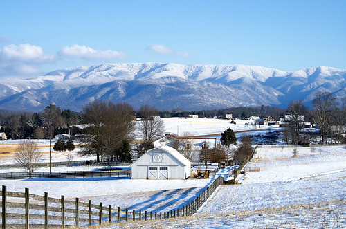
snow mountains clouds farm tennessee valley snowcovered
Down in the Valley
2014-10-12 20.54.37
autumn fall tennessee northcarolina flattopmountain baldmountains i26overlook
Bald Mountains Panorama 1 2014-1102
autumn
Autumn Frosting. . .
bigfirescaldknob usa panorama appalachiantrail tennessee greeneville northcarolina unitedstates us
JFRM-2017-04-7044-Pano.jpg
nature river fishing tennessee streams rockyfork flagpond
Rocky Fork
winter snow river tennessee nolichuckyriver
Nolichucky River
cameraphone
WP_20141124_040.JPG
IMG_9063.JPG
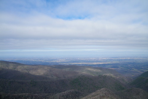
cloud mountain tennessee
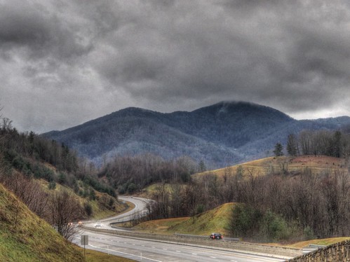
Overlook in the Blue Ridge Mountains, NC/TN area
waterfall falls picnik margarette
Margarette Falls
sunset clouds landscape tennessee horizon tripod blueridgemountains hdr canon1740l tonemapped canoneos5dmarkii
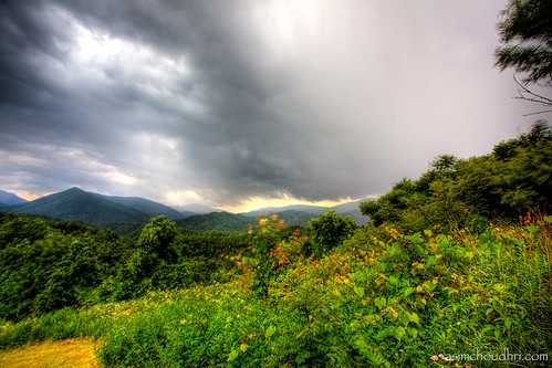
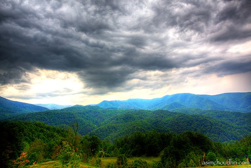
storm front moving over the blue ridge mountains...
square squareformat iphoneography instagramapp uploaded:by=instagram
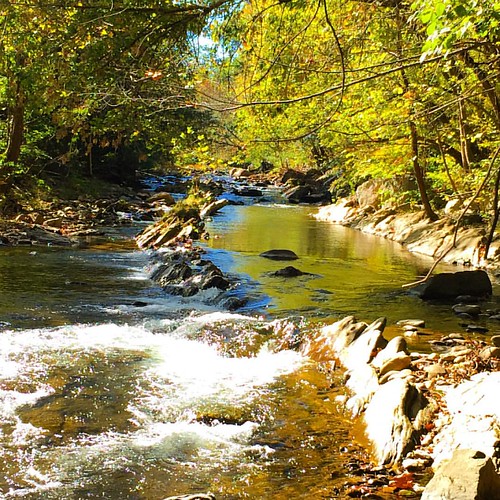
#Nolichucky #Unicoi #erwin #unicoicounty
tennessee cherokeenationalforest greenvilletn d5100
Blackstack Cliffs
square squareformat iphoneography instagramapp uploaded:by=instagram foursquare:venue=4ba6a5e7f964a520ee6539e3
#park #erwinlineartrail #fall #leaves #erwin
sunset clouds landscape tennessee horizon tripod blueridgemountains hdr canon1740l tonemapped canoneos5dmarkii
smoky mountain sunset...
horse mountain cove wilderness sampson turkeypen
Sampson Mountain Wilderness - Horse Cove - Turkeypen Cove
weather clouds landscape tennessee hdr appalachians photomatix
I-26 Near Flag Pond HDR
cloud mountain tennessee
Overlook in the Blue Ridge Mountains, NC/TN area
square squareformat iphoneography instagramapp uploaded:by=instagram
#sunsets #sunset