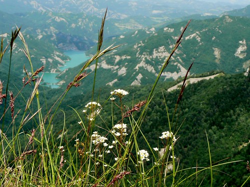
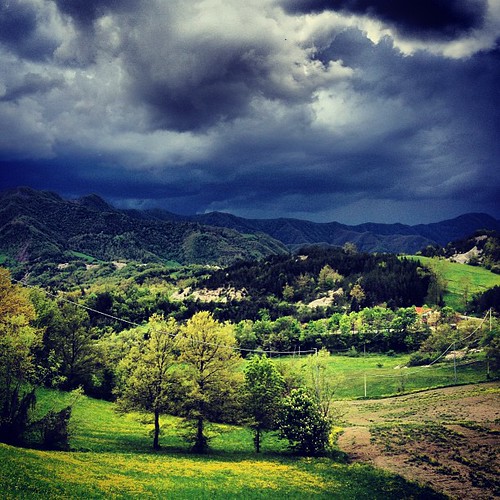
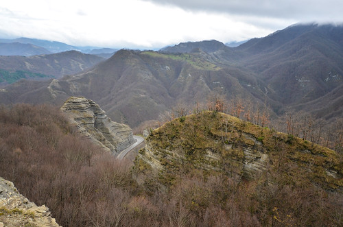
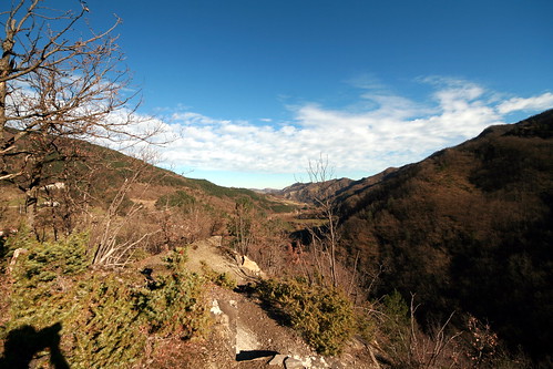
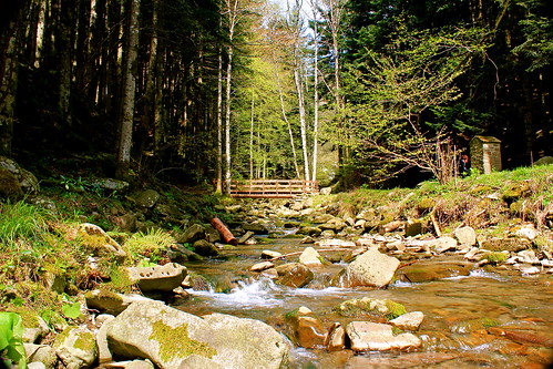
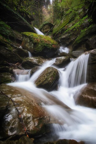
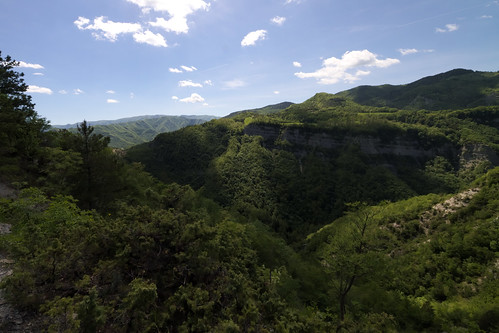
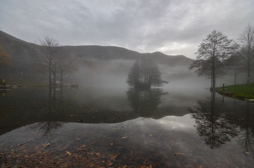
Elevation of Bagno di Romagna, Province of Forlì-Cesena, Italy
Location: Italy > Emilia-romagna > Province Of Forlì-cesena >
Longitude: 11.9576317
Latitude: 43.8654595
Elevation: 680m / 2231feet
Barometric Pressure: 93KPa
Related Photos:
Topographic Map of Bagno di Romagna, Province of Forlì-Cesena, Italy
Find elevation by address:

Places in Bagno di Romagna, Province of Forlì-Cesena, Italy:
Places near Bagno di Romagna, Province of Forlì-Cesena, Italy:
SS71, 21, Bagno di Romagna FC, Italy
Verghereto
Verghereto
Capaccio-settegalli
SS, 71, Capaccio-Settegalli FC, Italy
Alfero
Strada Provinciale Val di Corezzo, 58, Chiusi della Verna AR, Italy
18a
Province Of Forlì-cesena
Mount Fumaiolo
Via Sandro Pertini, 15, Galeata FC, Italy
Galeata
Chiusi Della Verna
Via Sant'ellero
Santa Sofia
Strada Provinciale dell'Eremo, 6, Poppi AR, Italy
Eremo Di Sant'alberico
La Verna - Franciscan Sanctuary
Ranchio
Bibbiena
Recent Searches:
- Elevation of Corso Fratelli Cairoli, 35, Macerata MC, Italy
- Elevation of Tallevast Rd, Sarasota, FL, USA
- Elevation of 4th St E, Sonoma, CA, USA
- Elevation of Black Hollow Rd, Pennsdale, PA, USA
- Elevation of Oakland Ave, Williamsport, PA, USA
- Elevation of Pedrógão Grande, Portugal
- Elevation of Klee Dr, Martinsburg, WV, USA
- Elevation of Via Roma, Pieranica CR, Italy
- Elevation of Tavkvetili Mountain, Georgia
- Elevation of Hartfords Bluff Cir, Mt Pleasant, SC, USA
