Elevation of Badshithaul, Chamba, Uttarakhand, India
Location: India > Uttarakhand > Tehri Garhwal > Chamba >
Longitude: 78.4069008
Latitude: 30.3392246
Elevation: 1769m / 5804feet
Barometric Pressure: 82KPa
Elevation Map:
Satellite Map:
Related Photos:

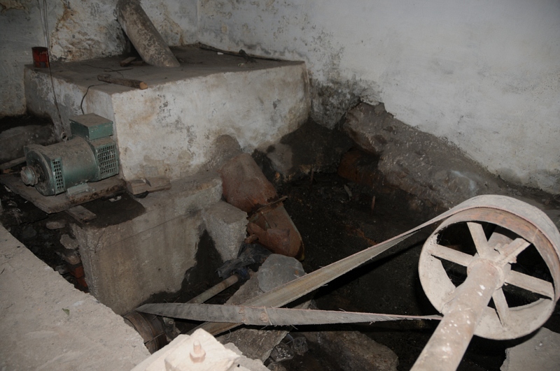
Chamba, Uttarakhand

Chamba, Uttarakhand

Chamba, Uttarakhand

Tehri Garhwal, Uttarakhand

Tehri Garhwal, Uttarakhand

Tehri Garhwal, Uttarakhand
Tehri Garhwal, Uttarakhand

Tehri Garhwal, Uttarakhand

Chamba, Uttarakhand

Chamba, Uttarakhand

Chamba, Uttaranchal, Uttarakhand

Chamba, Uttaranchal, Uttarakhand
Tehri Garhwal, Uttarakhand

Chamba, Uttarakhand

Tehri Garhwal, Uttarakhand

Chamba, Uttarakhand

Tehri Garhwal, Uttarakhand

Chamba, Uttaranchal, Uttarakhand

Tehri Garhwal, Uttarakhand

Chamba, Uttaranchal, Uttarakhand

Tehri, Uttaranchal

Pine Forest in Tehri Garhwal

The Potato Fields of Kaudia

Chamba Valley sunrise
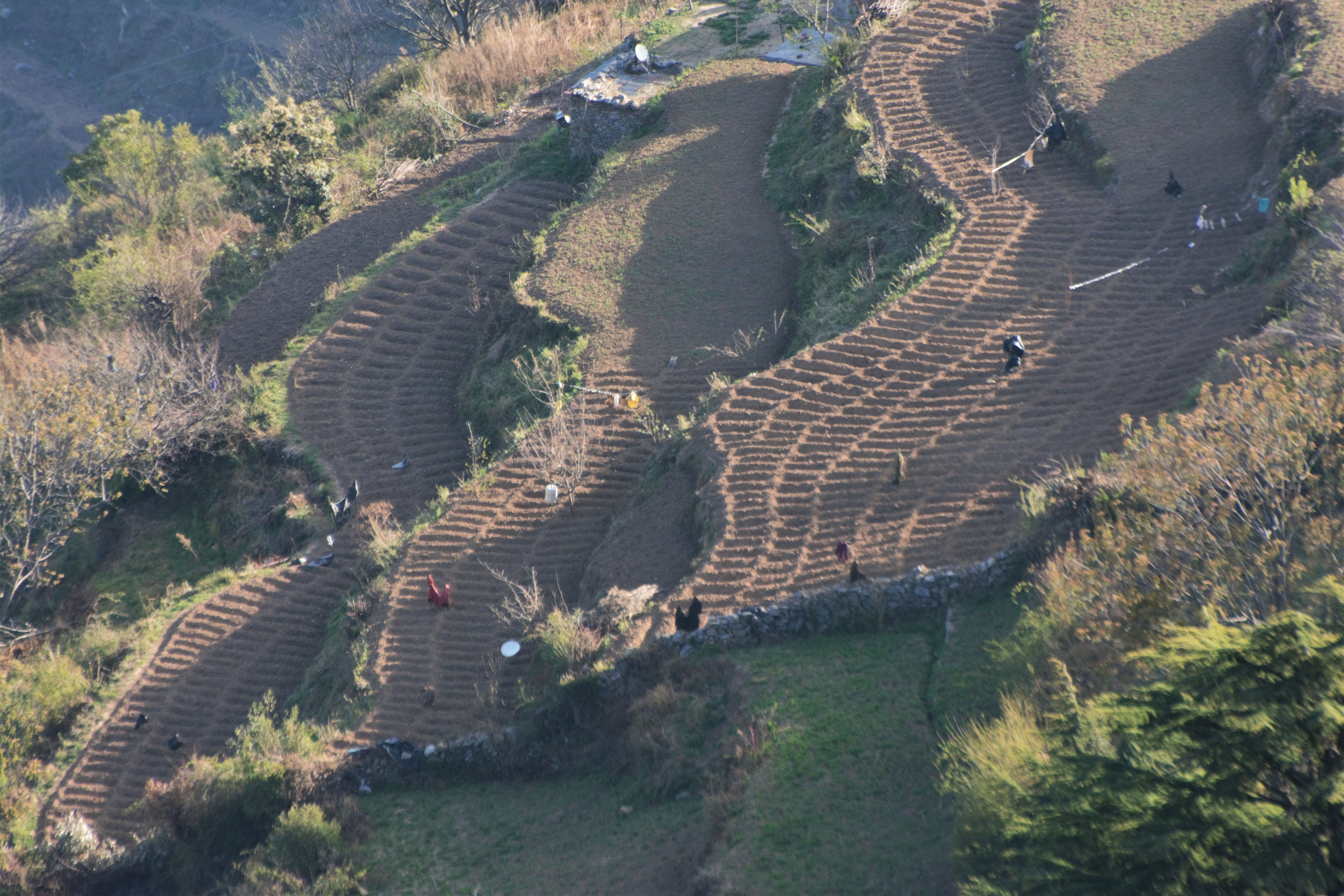
Potato Fields of Kaudia Range

The potato fields of Kaudia

Potato Fields of Kaudia Range

Sunrise over Kaudia Range

Potato Fields of Kaudia Range

Overlooking the Kaudia Range and Chamba Valley

Sunrise over Kaudia Range

Evening Lights of the Chamba Valley

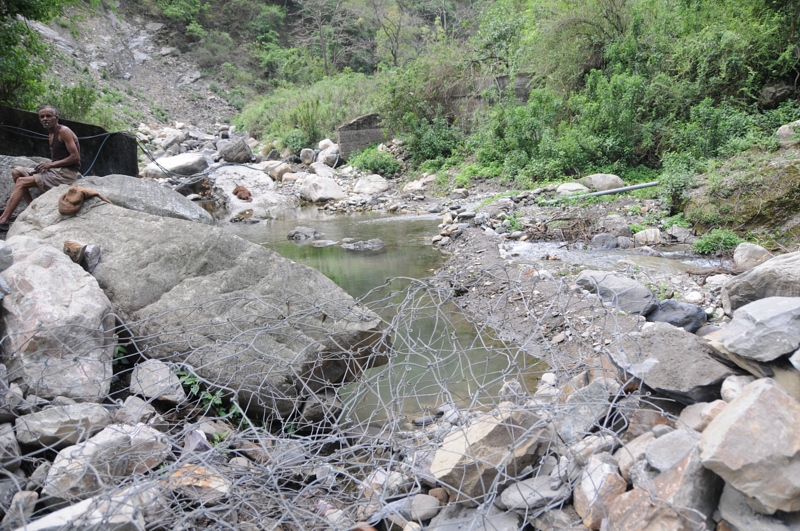
Bhilangana river near Tehri

Chamba, Uttarakhand

Chamba, Uttarakhand

Kathiya Gaon, Tehri, Uttaranchal

Kathiya Gaon, Tehri, Uttaranchal

Kathiya Gaon, Tehri, Uttaranchal
Topographic Map of Badshithaul, Chamba, Uttarakhand, India
Find elevation by address:

Places near Badshithaul, Chamba, Uttarakhand, India:
Department Of Education, Srt Campus, Badshahithaul
Chamba
Classic Hill Top Resort - Chamba (uttarakhand)
Ranichaur Forest Rest House
Weer
College Of Forestry , Ranichauri
New Tehri
Tehri Dam
Kaudia Range
Kandikhal
Kanatal
Kanatal Inn
Tipri
Jakhnidhar
Surkanda Devi Temple
Tehri Garhwal
Ranakot
Ranakot Market
Saklana Range
Anjanisain
Recent Searches:
- Elevation of Corso Fratelli Cairoli, 35, Macerata MC, Italy
- Elevation of Tallevast Rd, Sarasota, FL, USA
- Elevation of 4th St E, Sonoma, CA, USA
- Elevation of Black Hollow Rd, Pennsdale, PA, USA
- Elevation of Oakland Ave, Williamsport, PA, USA
- Elevation of Pedrógão Grande, Portugal
- Elevation of Klee Dr, Martinsburg, WV, USA
- Elevation of Via Roma, Pieranica CR, Italy
- Elevation of Tavkvetili Mountain, Georgia
- Elevation of Hartfords Bluff Cir, Mt Pleasant, SC, USA