Elevation of Bacalar, Q.R., Mexico
Location: Mexico > Quintana Roo > Bacalar Municipality >
Longitude: -88.392394
Latitude: 18.6782919
Elevation: 19m / 62feet
Barometric Pressure: 101KPa
Elevation Map:
Satellite Map:
Related Photos:
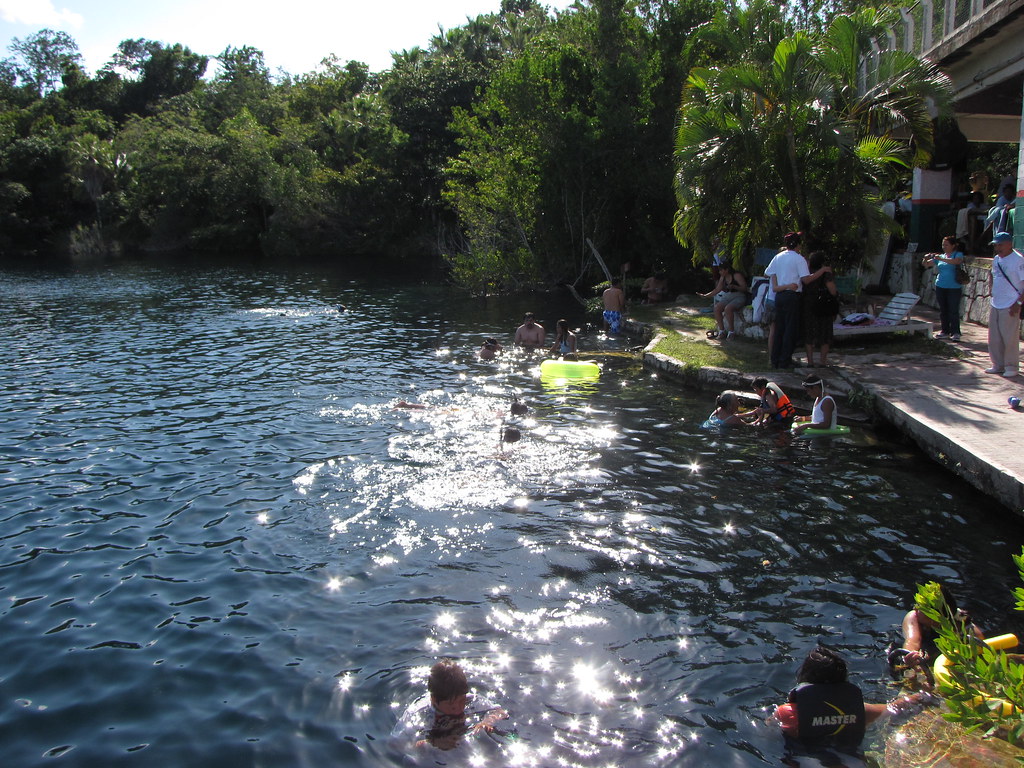
Cenote Azul
Topographic Map of Bacalar, Q.R., Mexico
Find elevation by address:

Places near Bacalar, Q.R., Mexico:
Coahuila Nte 18, Calderitas, Q.R., Mexico
Calle Héroes, Quintana Roo, Mexico
Othón P. Blanco
Chetumal
Ucum
Gato
Quintana Roo
Ssa479
Chunhuhub - Pedro Antonio Santos 58, Gato, Q.R., Mexico
Petcacab
Felipe Carrillo Puerto
Recent Searches:
- Elevation of Corso Fratelli Cairoli, 35, Macerata MC, Italy
- Elevation of Tallevast Rd, Sarasota, FL, USA
- Elevation of 4th St E, Sonoma, CA, USA
- Elevation of Black Hollow Rd, Pennsdale, PA, USA
- Elevation of Oakland Ave, Williamsport, PA, USA
- Elevation of Pedrógão Grande, Portugal
- Elevation of Klee Dr, Martinsburg, WV, USA
- Elevation of Via Roma, Pieranica CR, Italy
- Elevation of Tavkvetili Mountain, Georgia
- Elevation of Hartfords Bluff Cir, Mt Pleasant, SC, USA