Elevation map of Béjaïa Province, Algeria
Location: Algeria >
Longitude: 4.7691586
Latitude: 36.5574472
Elevation: 845m / 2772feet
Barometric Pressure: 92KPa
Elevation Map:
Satellite Map:
Related Photos:

Sidi-Aïch

kra n tighilt

Ighzer n Rmila

Amizour اميزور

From Timezrit

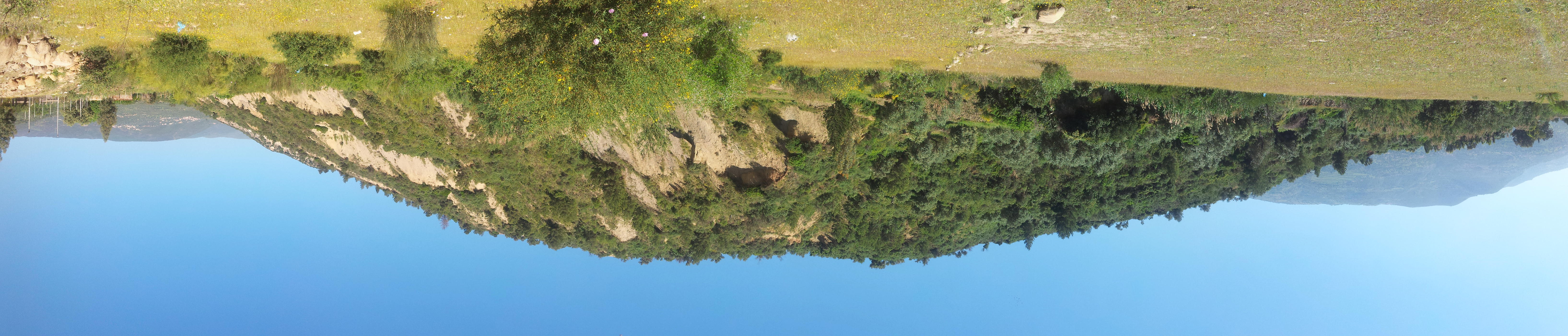
Remila river and mountains

Remila river 5

DSC_0161 - DSC_0176

The moon above the hill

Remila river
Colline Ighzer

Remila river 1

Landscape from Melloulit, Timezrti

DSC_0147 - DSC_0158
Topographic Map of Béjaïa Province, Algeria
Find elevation by address:

Places in Béjaïa Province, Algeria:
Places near Béjaïa Province, Algeria:
Recent Searches:
- Elevation of Corso Fratelli Cairoli, 35, Macerata MC, Italy
- Elevation of Tallevast Rd, Sarasota, FL, USA
- Elevation of 4th St E, Sonoma, CA, USA
- Elevation of Black Hollow Rd, Pennsdale, PA, USA
- Elevation of Oakland Ave, Williamsport, PA, USA
- Elevation of Pedrógão Grande, Portugal
- Elevation of Klee Dr, Martinsburg, WV, USA
- Elevation of Via Roma, Pieranica CR, Italy
- Elevation of Tavkvetili Mountain, Georgia
- Elevation of Hartfords Bluff Cir, Mt Pleasant, SC, USA