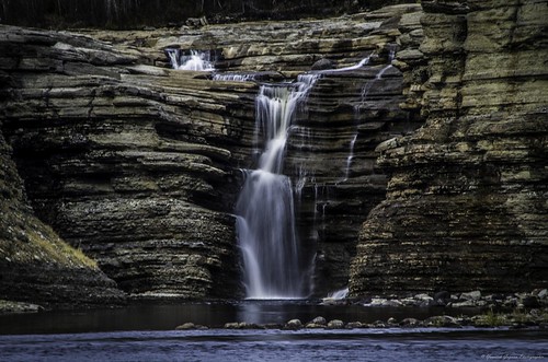
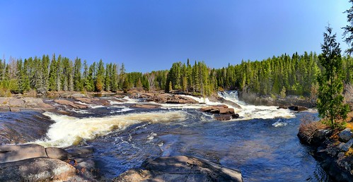
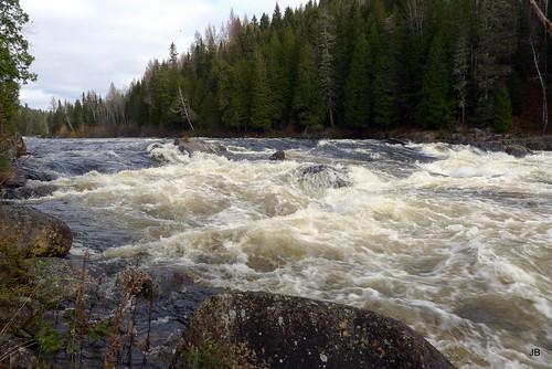
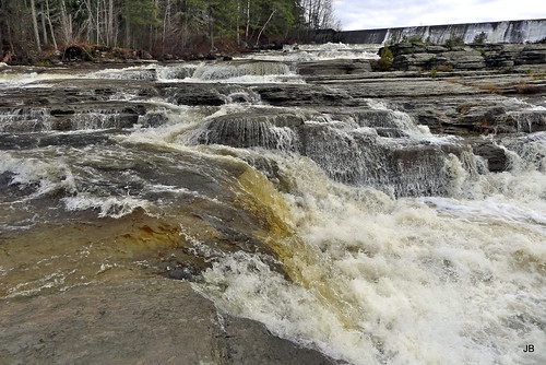
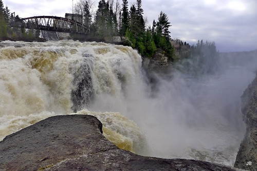
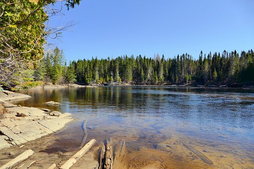
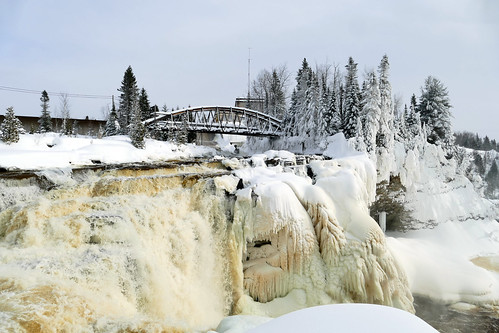
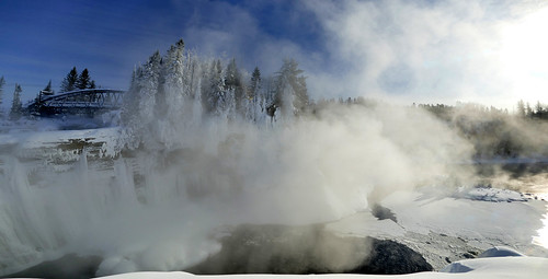
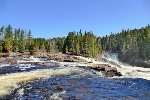
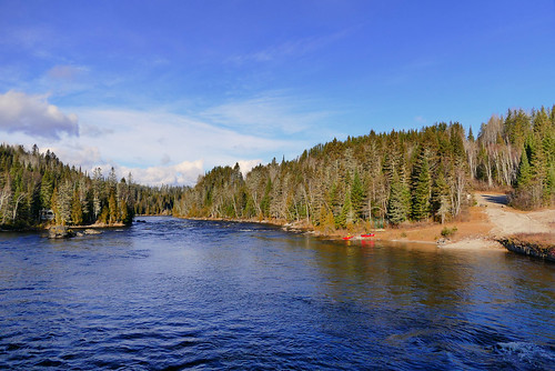
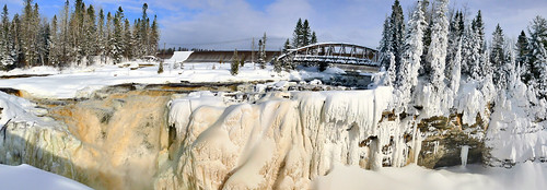
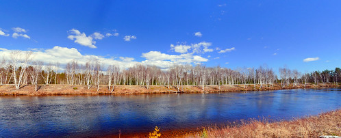
Elevation of Bégin, QC G0V, Canada
Location: Canada > Québec > Le Fjord-du-saguenay Regional County Municipality >
Longitude: -71.315745
Latitude: 48.7131289
Elevation: 260m / 853feet
Barometric Pressure: 98KPa
Related Photos:
Topographic Map of Bégin, QC G0V, Canada
Find elevation by address:

Places near Bégin, QC G0V, Canada:
104 Rue Villeneuve
15e Chemin Du Lac-sébastien
G0v 1c0
18 Chemin du Lac Durand, Saint-David-de-Falardeau, QC G0V, Canada
Niobec - Bureau Des Relations Avec La Communauté
Saint-david-de-falardeau
Saint-honoré
Jonquière
Boulevard du Royaume, Larouche, QC G0W 1Z0, Canada
Saint-honoré
Rue Saint Dominique, Jonquière, QC G7X 6L4, Canada
G7s 5n4
Larouche
Rue Richer, Larouche, QC G0W 1Z0, Canada
Larouche
Chemin de Villebois, Alma, QC G8B 5V2, Canada
Lac-kénogami
Boulevard Auger S, Alma, QC G8B 5V2, Canada
101 Rue Price E
245 Rue Le Jeune
Recent Searches:
- Elevation of Corso Fratelli Cairoli, 35, Macerata MC, Italy
- Elevation of Tallevast Rd, Sarasota, FL, USA
- Elevation of 4th St E, Sonoma, CA, USA
- Elevation of Black Hollow Rd, Pennsdale, PA, USA
- Elevation of Oakland Ave, Williamsport, PA, USA
- Elevation of Pedrógão Grande, Portugal
- Elevation of Klee Dr, Martinsburg, WV, USA
- Elevation of Via Roma, Pieranica CR, Italy
- Elevation of Tavkvetili Mountain, Georgia
- Elevation of Hartfords Bluff Cir, Mt Pleasant, SC, USA
