Elevation of Ayutla, Jal., Mexico
Location: Mexico > Jalisco >
Longitude: -104.34393
Latitude: 20.1280701
Elevation: 1372m / 4501feet
Barometric Pressure: 86KPa
Elevation Map:
Satellite Map:
Related Photos:

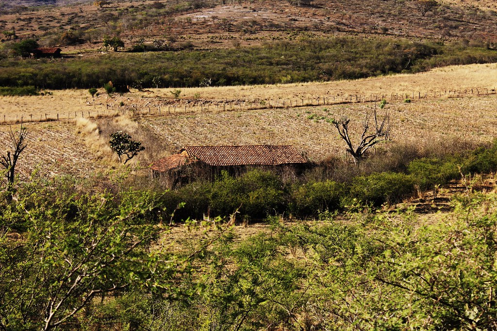
Dos Amigos
San Pio, Jal. Casa donde nació mi Mamá (27-02-1936)

Small Creek Sunset

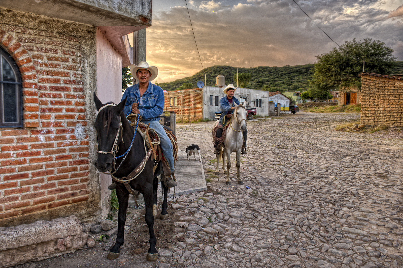
Just Mexico
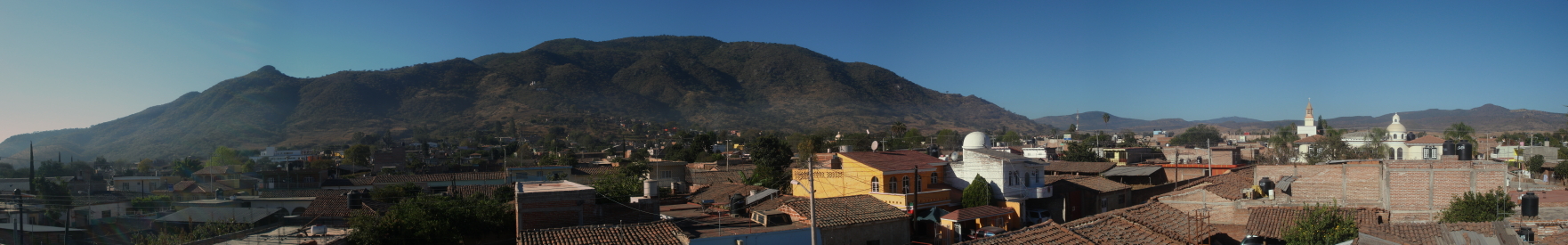
panoramica del cerro de la tortuga

Jorge & Michelle

True Performer
Dos Amigos
Topographic Map of Ayutla, Jal., Mexico
Find elevation by address:

Places in Ayutla, Jal., Mexico:
Places near Ayutla, Jal., Mexico:
Hidalgo 31, Centro, Ejido del Centro, Jal., Mexico
Centro
Tenamaxtlán
San Miguel De La Sierra
El Rincón
Calle Aldama 3, La Ciénega, Jal., Mexico
Autlán
Centro
Cuauhtémoc 72, Centro, Autlán de Navarro, Jal., Mexico
Autlán De Navarro
Lázaro Cárdenas 89, Las Paredes, Jal., Mexico
El Chante
Villa Purificación
Villa Purificación
Ramón Corona, Villa Purificación, Jal., Mexico
Talpa De Allende
Mascota
Mascota
Amatlán De Cañas
Tamaulipas
Recent Searches:
- Elevation of Corso Fratelli Cairoli, 35, Macerata MC, Italy
- Elevation of Tallevast Rd, Sarasota, FL, USA
- Elevation of 4th St E, Sonoma, CA, USA
- Elevation of Black Hollow Rd, Pennsdale, PA, USA
- Elevation of Oakland Ave, Williamsport, PA, USA
- Elevation of Pedrógão Grande, Portugal
- Elevation of Klee Dr, Martinsburg, WV, USA
- Elevation of Via Roma, Pieranica CR, Italy
- Elevation of Tavkvetili Mountain, Georgia
- Elevation of Hartfords Bluff Cir, Mt Pleasant, SC, USA