Elevation of Ayr QLD, Australia
Location: Australia > Queensland > Burdekin Shire >
Longitude: 147.406386
Latitude: -19.568515
Elevation: 11m / 36feet
Barometric Pressure: 101KPa
Elevation Map:
Satellite Map:
Related Photos:

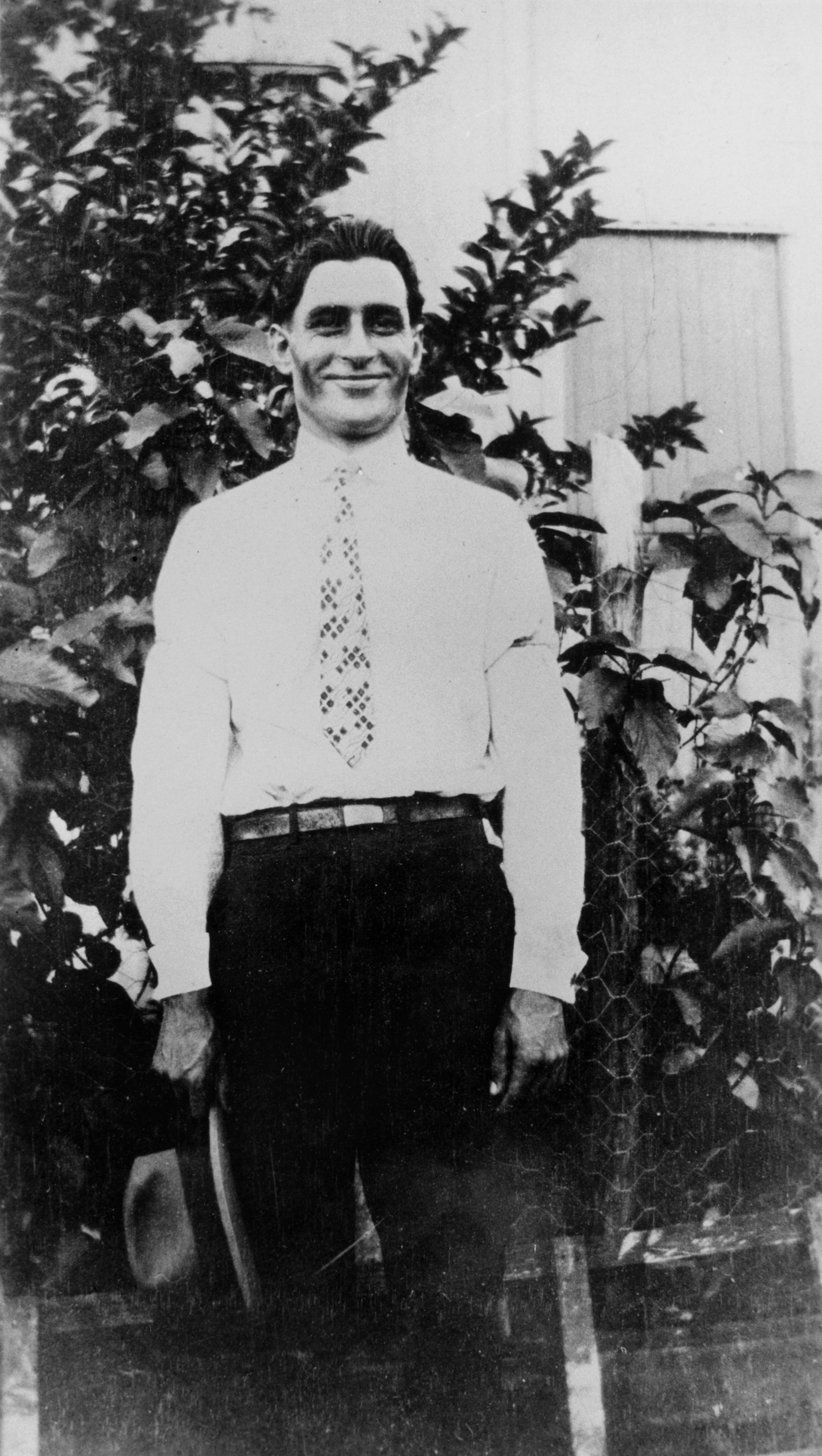
Canecutters at Ayr, ca. 1907
Chris Stefanos, Home Hill
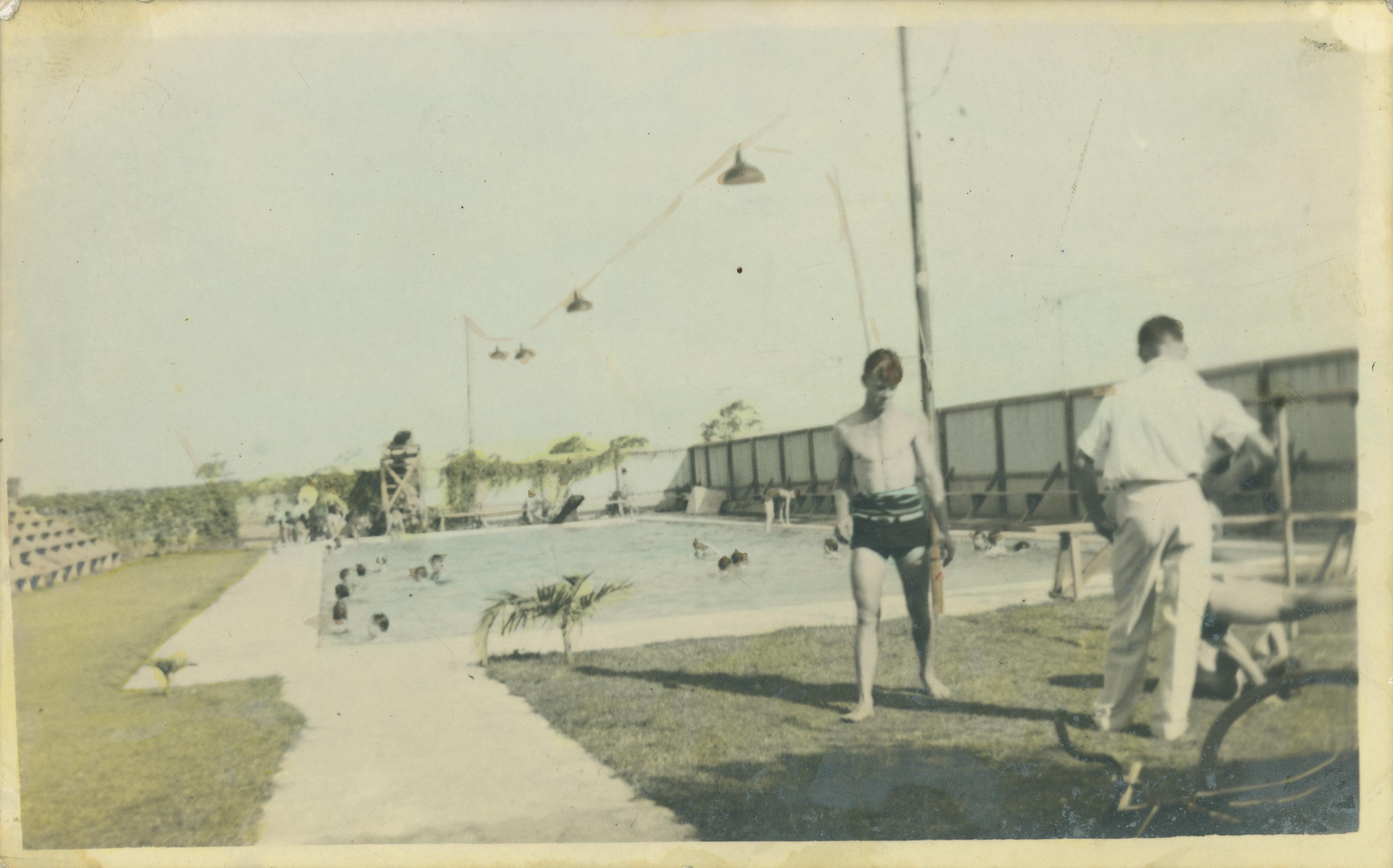
Swimming pool at Ayr surrounded by lawns
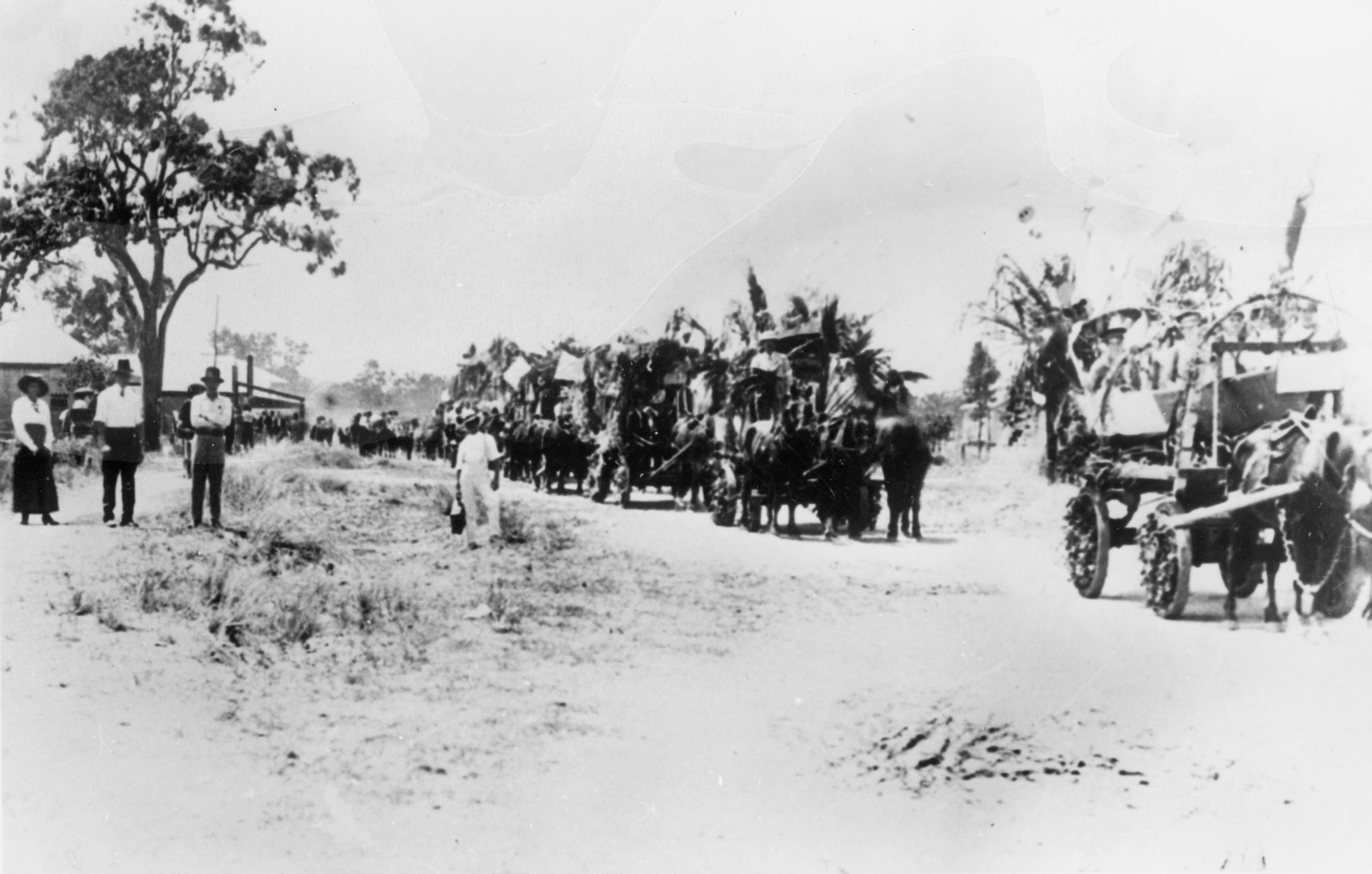
Celebrating the end of World War I with a peace procession, Home Hill, 1919
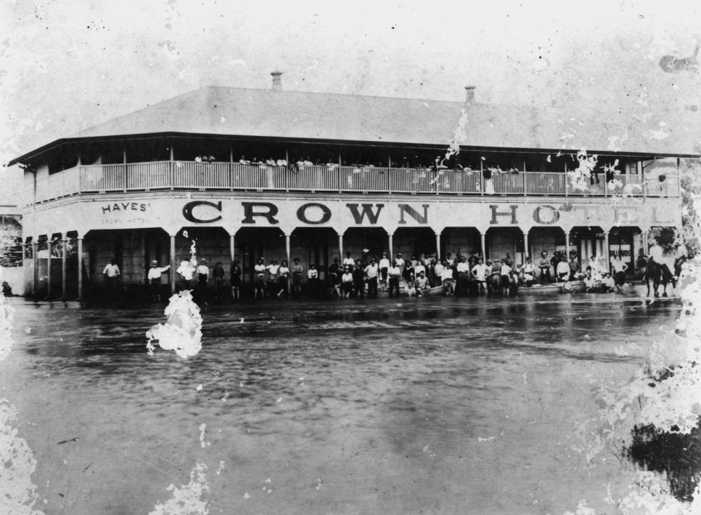
Floodwaters surround the Crown Hotel at Home Hill 1918

Afternoon tea in a tree house, Brandon, ca. 1880-1890

Home Hill

Town of Ayr, parish of Antill, county of Gladstone
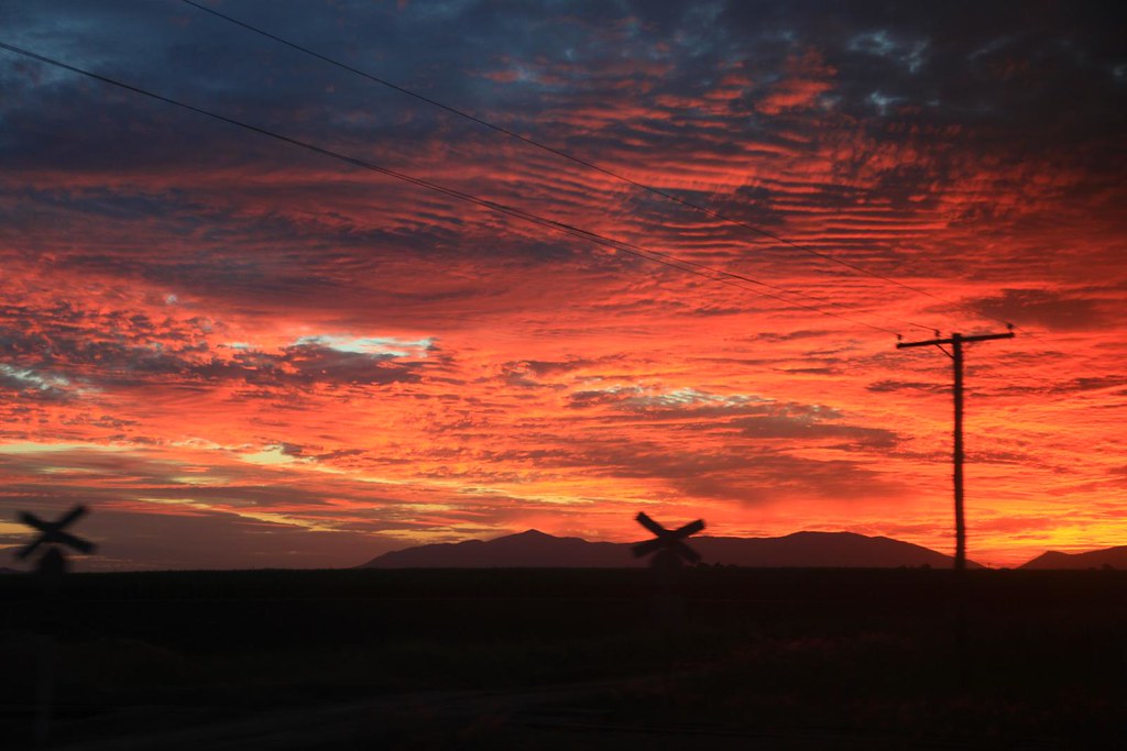
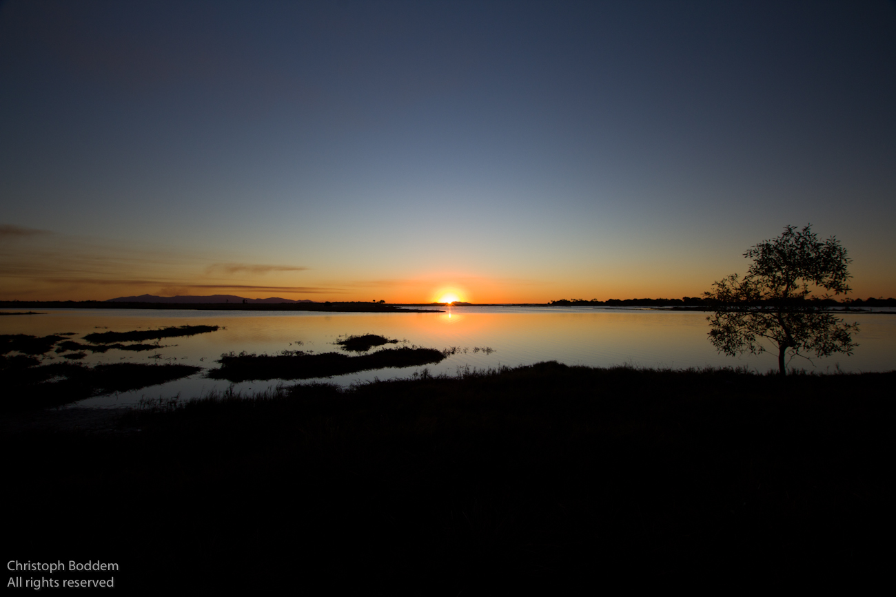
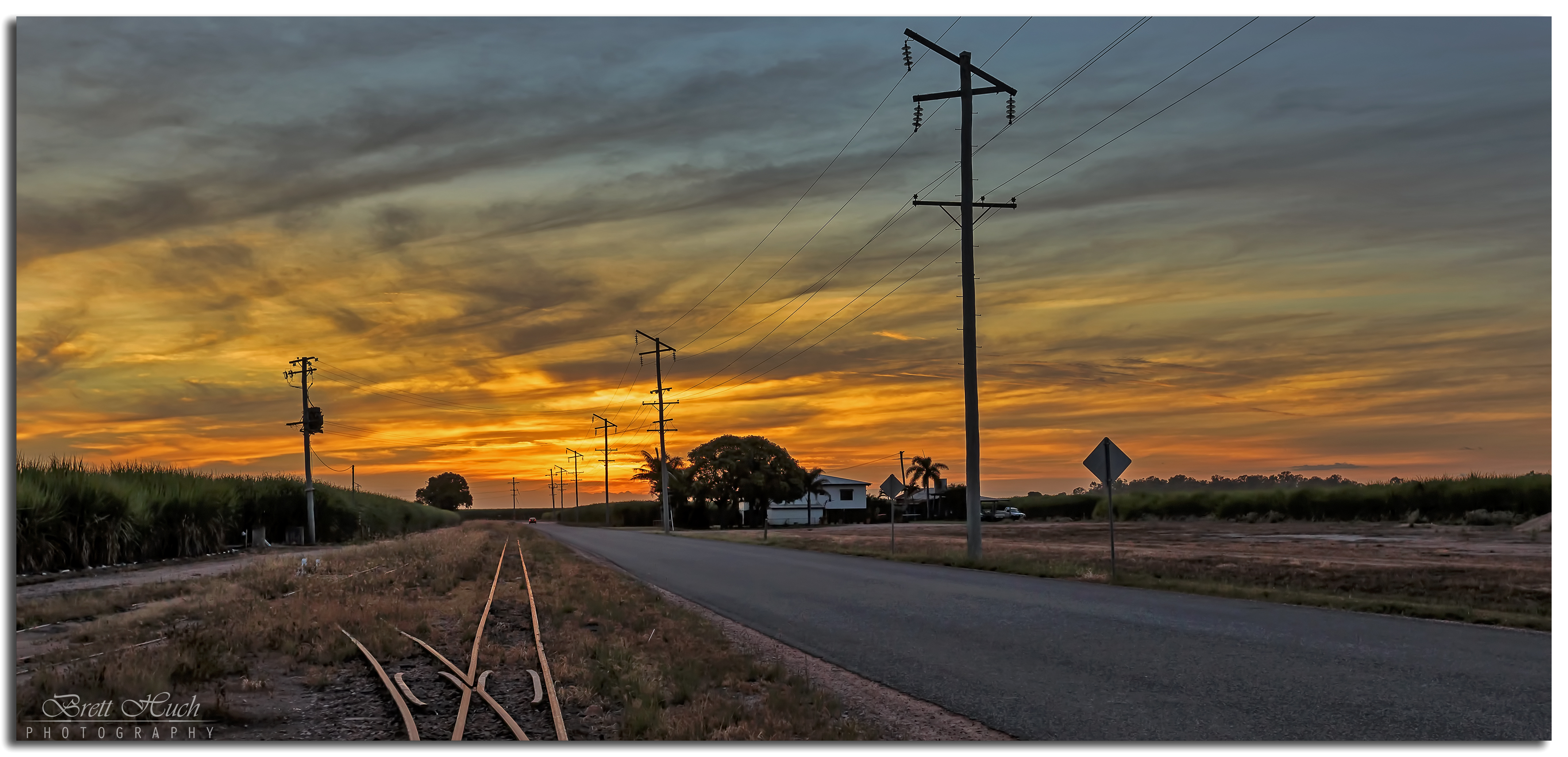
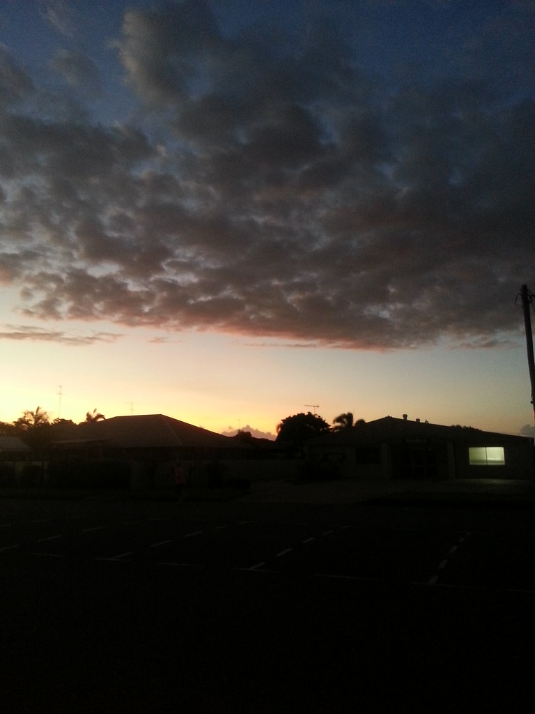
2010-05-15_1754-03a Sunset at Brandon
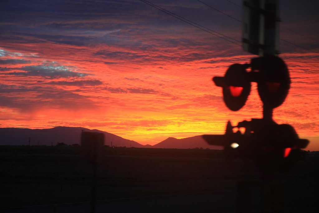
2010-05-15_1756-18b Sunset at Brandon

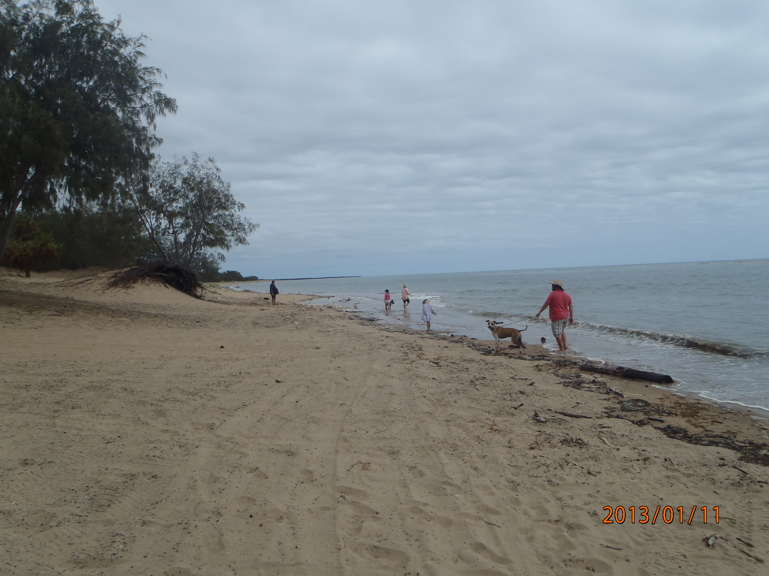
Sunset at the Beach

And then at 6AM wake up by a massive fire next to where I was sleeping in the van.... I thoug itwas a bit too hot today.... - #tweegram #instagood #iphonesia #photooftheday #instamood #iphoneonly #instagramhub #picoftheday #instadaily #bestoftheday #webst
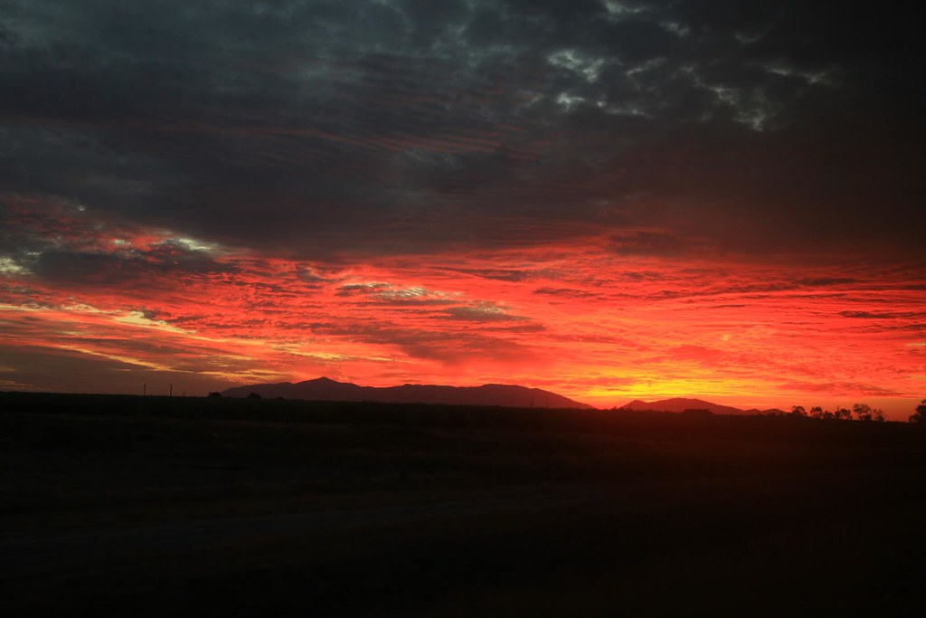
2010-05-15_1756-52b Sunset at Brandon
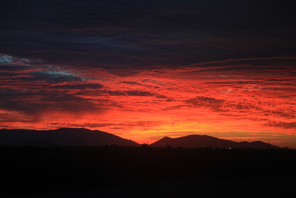
2010-05-15_1755-37b Sunset at Brandon
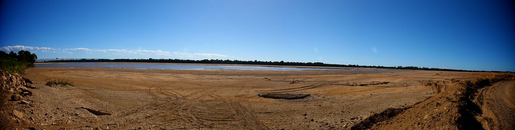
Burderkin River Panorama
Flooded farm near Alva in North QLD. . . #thisisqueensland #queensland_captures #flood #hdr_dr #hdrphotography #igbest_shotz #loveyouqueensland #discoverqueensland #ig_discover_australia #australia #exploretnq #northqueensland #igersbrisbane #sjazzphoto #

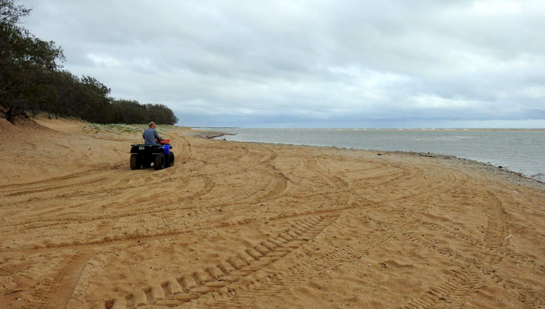
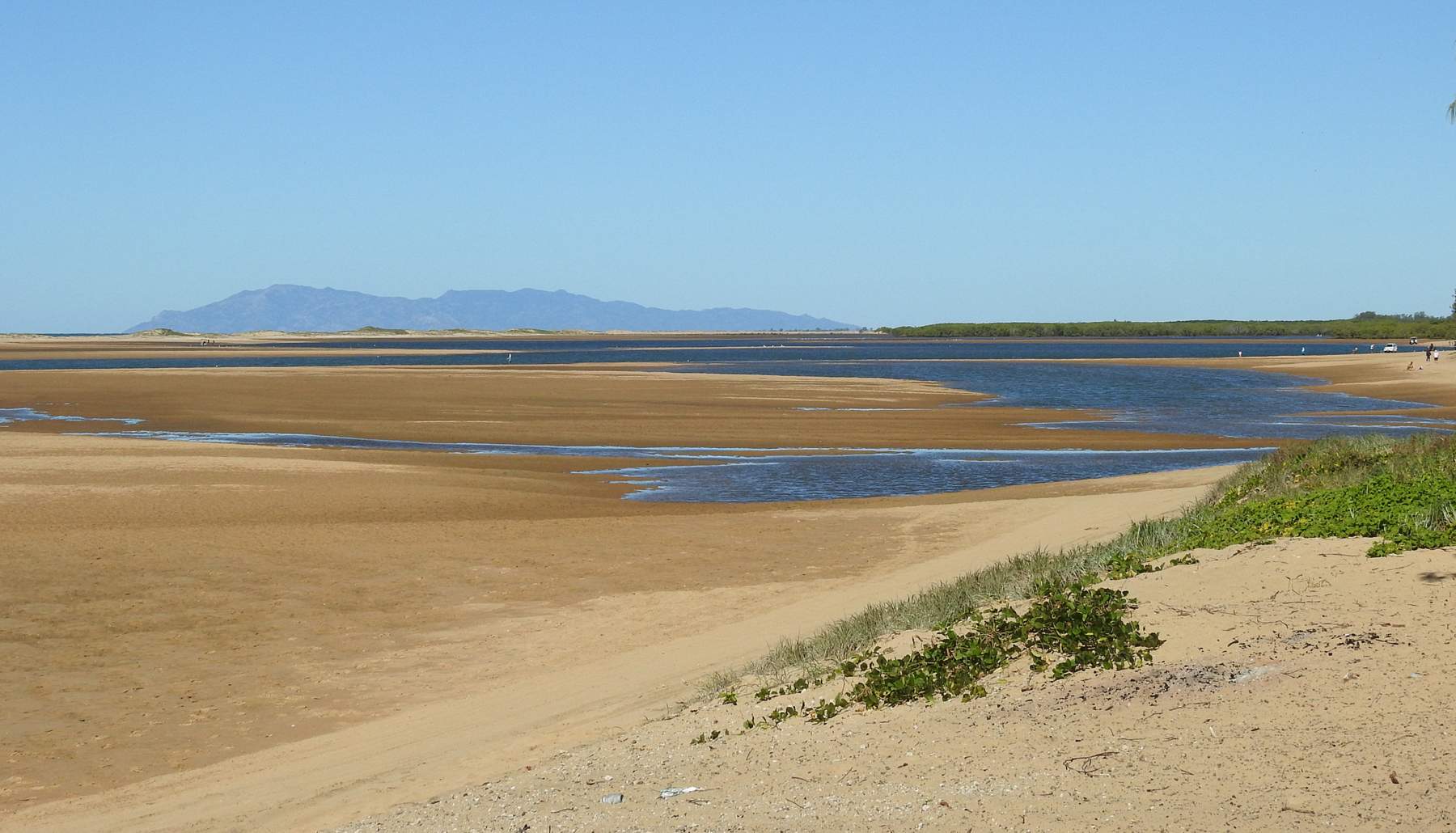
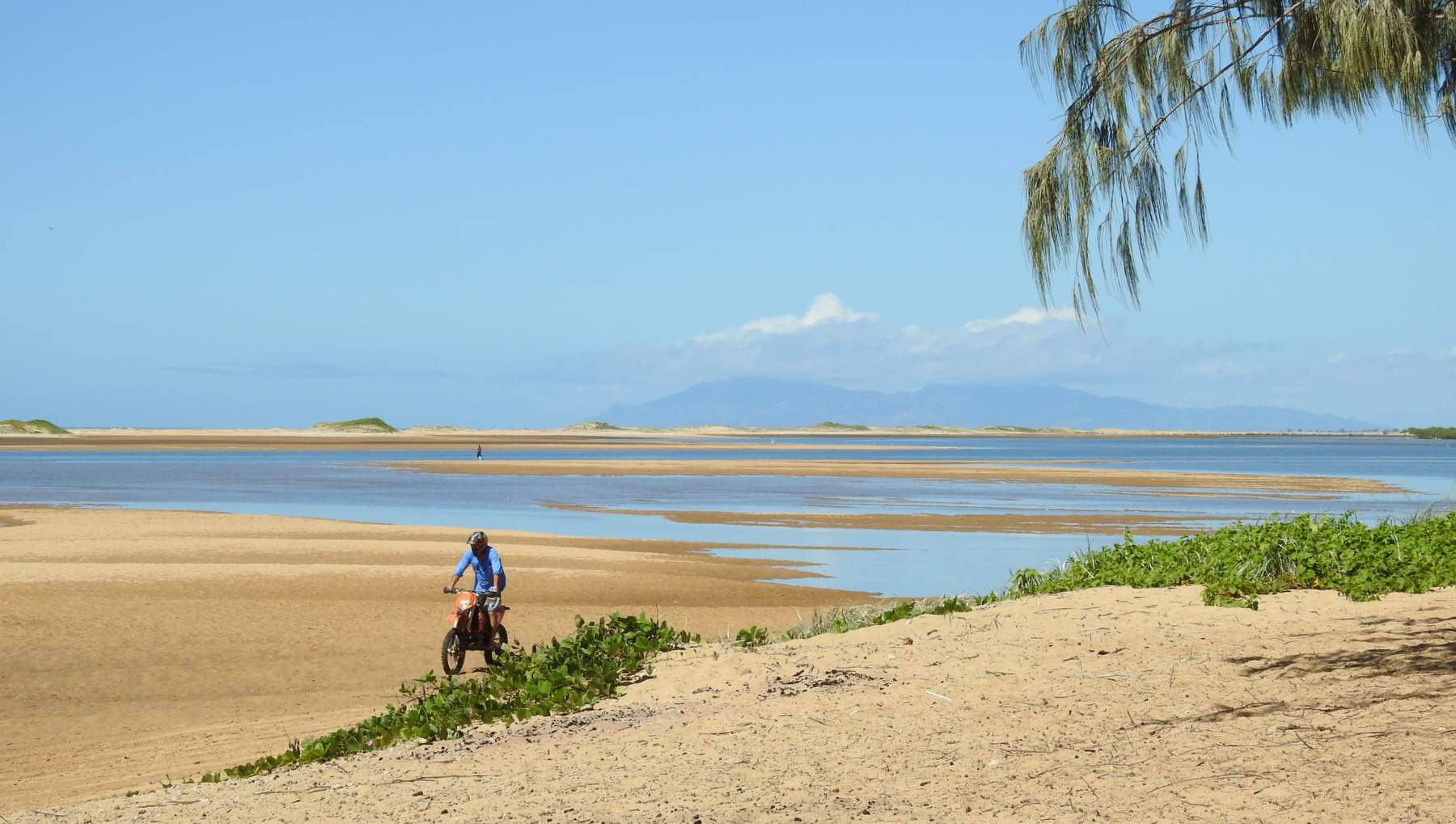
Alva Beach
Alva Beach
High tide, Lynch's Beach
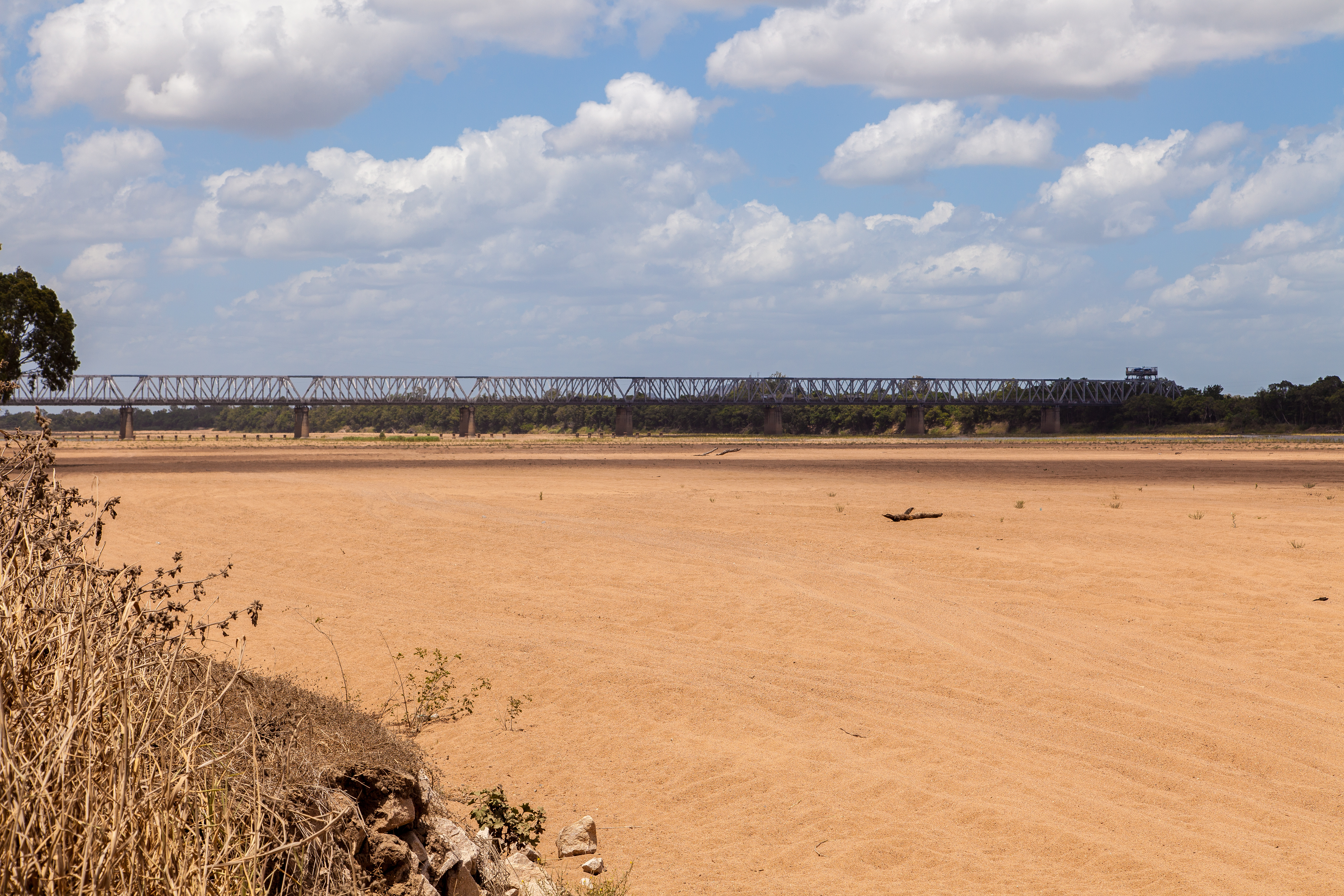
"Burdekin River" Former Alignment
Alva to Upstart
Australië
Beach entrance
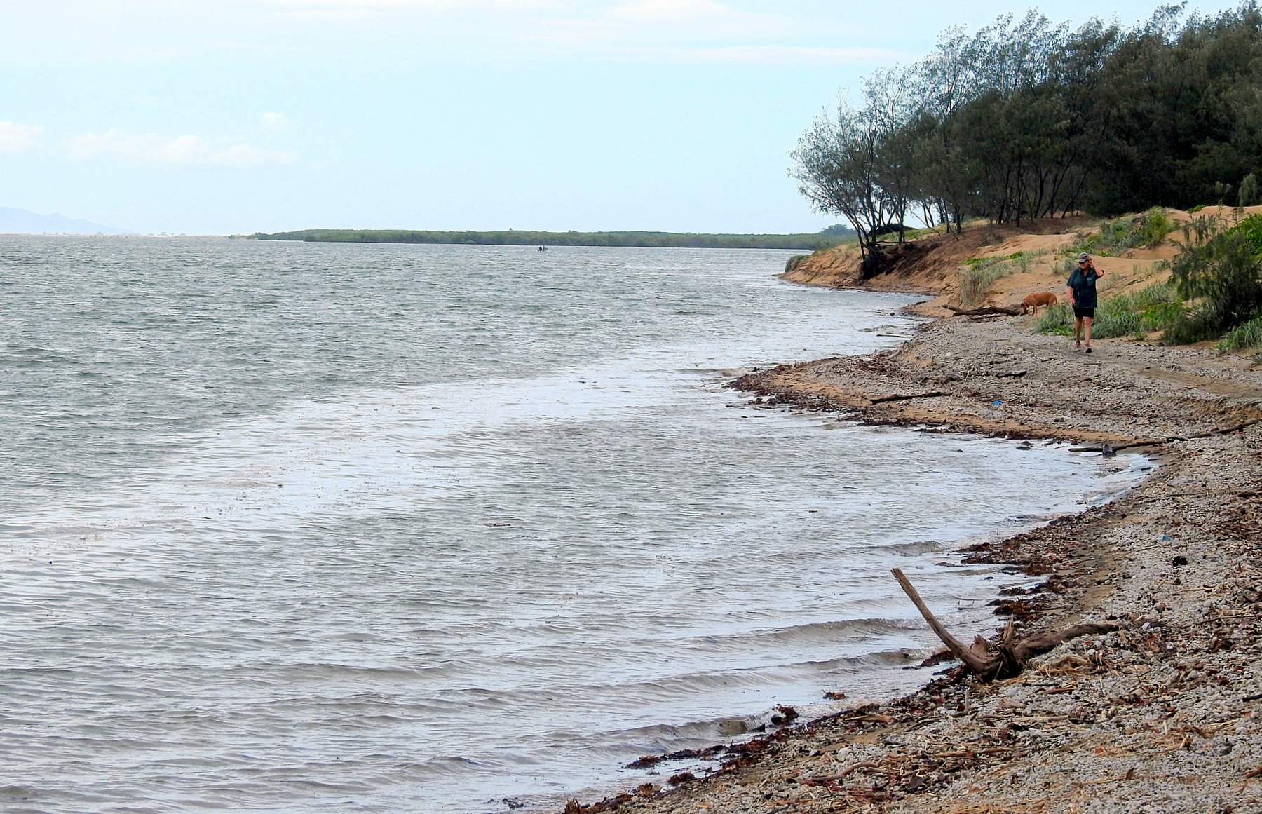
High tide, Lynch's Beach (Approx. 3.24m)
Sunrise In The Cane
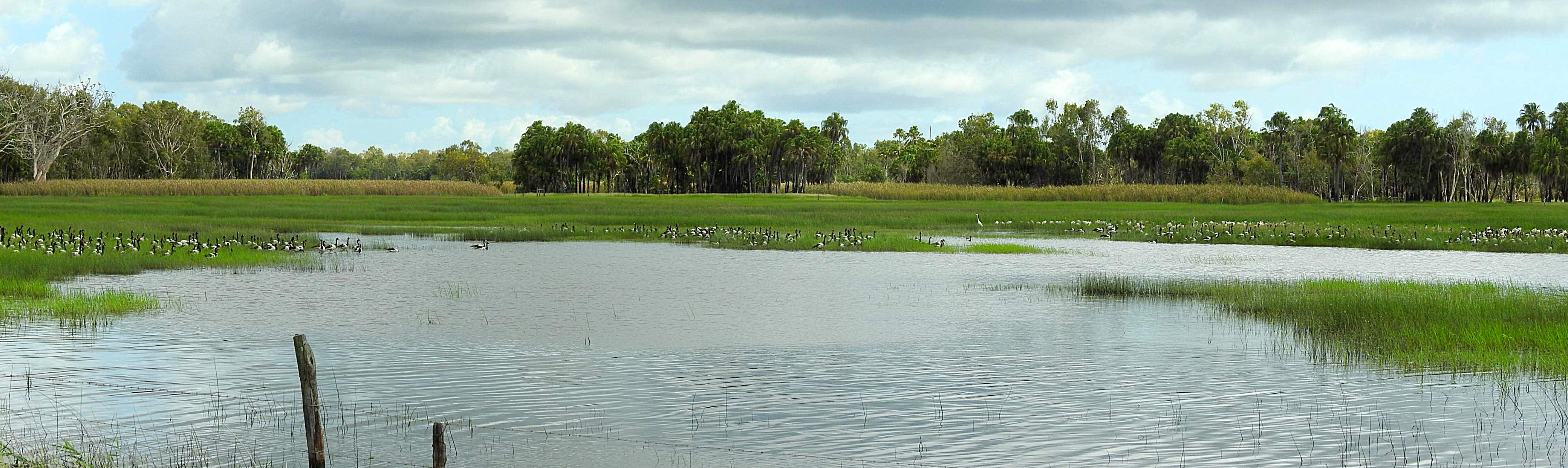
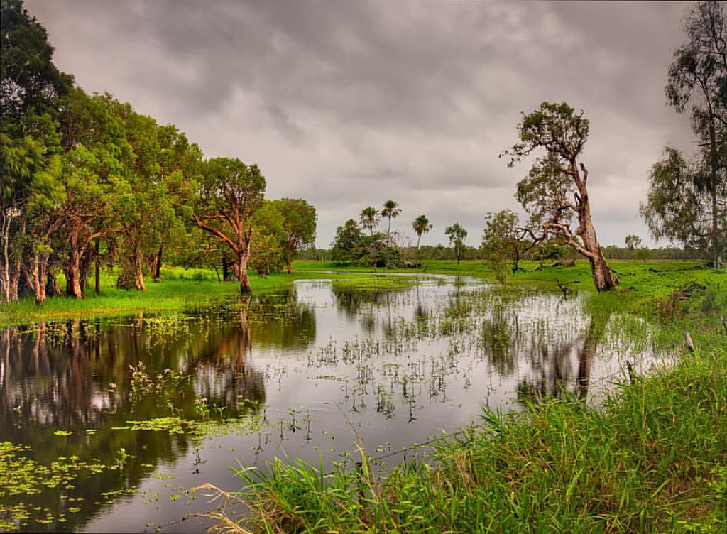
Magpie geese and others
Cape Upstart from Alva
2015-02-17 20.06.11
Topographic Map of Ayr QLD, Australia
Find elevation by address:

Places near Ayr QLD, Australia:
Burdekin Shire
Majors Creek
Wulguru
13 Broadwater Terrace
74 Twinview Terrace
3 Twinview Terrace
9 Sovereign Terrace
3 Waterdale Pocket
24 Westbrook Dr
20 Florey St
4 Brookside Cl
68 Petrie Way
Idalia
30 Northshore Cct
Railway Estate
5 Kulwin Ct
50 Mayneside Cct
First Street
38 Mayneside Cct
Rosslea
Recent Searches:
- Elevation of Corso Fratelli Cairoli, 35, Macerata MC, Italy
- Elevation of Tallevast Rd, Sarasota, FL, USA
- Elevation of 4th St E, Sonoma, CA, USA
- Elevation of Black Hollow Rd, Pennsdale, PA, USA
- Elevation of Oakland Ave, Williamsport, PA, USA
- Elevation of Pedrógão Grande, Portugal
- Elevation of Klee Dr, Martinsburg, WV, USA
- Elevation of Via Roma, Pieranica CR, Italy
- Elevation of Tavkvetili Mountain, Georgia
- Elevation of Hartfords Bluff Cir, Mt Pleasant, SC, USA