Elevation of Ayers Farm Rd, Stowe, VT, USA

Location: United States > Vermont > Lamoille County > Stowe >

Longitude: -72.692917

Latitude: 44.427608

Elevation: 448m / 1470feet

Barometric Pressure: 96KPa

Elevation Map:

elevation map of Ayers Farm Rd, Stowe, VT, USA

Satellite Map:

Satellite map of Ayers Farm Rd, Stowe, VT, USA

Related Photos:

stowe vt vermont new england storm clouds weather black white bw mono monochrome rwgrennan rgrennan ryan grennan nikon d610 travel moody landscape mountains light window stowehof view 2017 september
Light in the Window
Stowe, VT
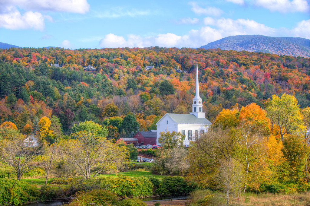
Fall foliage from Trapp Family Lodge, Stowe, VT
vermont landscape water reflection clouds
Wrightsville Reservoir
autumn fall vermont unitedstates newengland fallfoliage foliage stowe 2014 leafpeeping stowechurch
Peak Vermont
pink red orange cold green fall church water colors beautiful yellow canon landscape vermont view cloudy hill scenic peak foliage stowe 1755mmf28 eos60d
Stowe Church, Vermont
blue winter wild summer sky panorama usa white mountains green nature colors grass clouds season landscape spring vermont unitedstates cattle wide meadow vivid bluesky photograph change appalachian peaks range vt bold puffyclouds 2012 graze greenmountains appalachianmountains wideview whiteclouds scottishcattle
Scottish Cattle in Green Mountains (DSH_5846-53)
winter sun snow tree ice vermont december lift delete7 explore saturation icy savedbythedeltemeuncensoredgroup 2007 smugglersnotch smuggs dmu cotcmostinteresting interestingness59 i500 jefforsonville
view from the chair, icy trees
usa vermont unitedstates
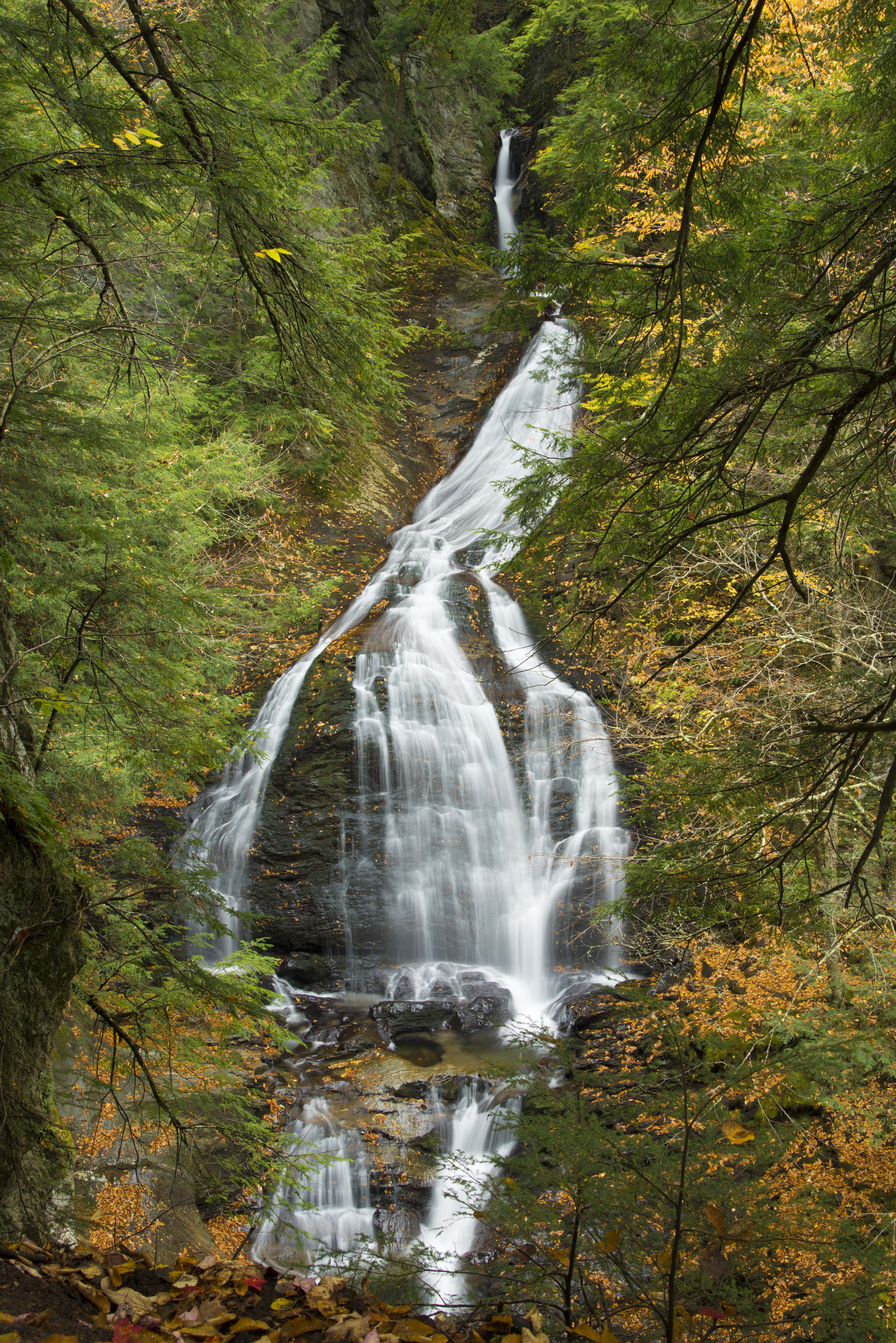
Moss Glen Falls in Stowe
summer vacation usa tree green water strange rural forest river us flora vermont outdoor unitedstatesofamerica july hike trail waterfalls northamerica gorge stowe cascade naturalworld hdr northwoods greenmountains westbranch ruralscenes binghamfalls lewisfalls plungefalls northernforest roaringfalls riparianecosystem photogeorge smugglersnotchstatepark mtmansfieldstateforest uppermountainroad waterburyriver stowelandtrust nikond750 acdseeultimate8 vermontrt108 bedrockgneiss bedrockhazensnotchschist grottocascade orphacascade williamhhbingham
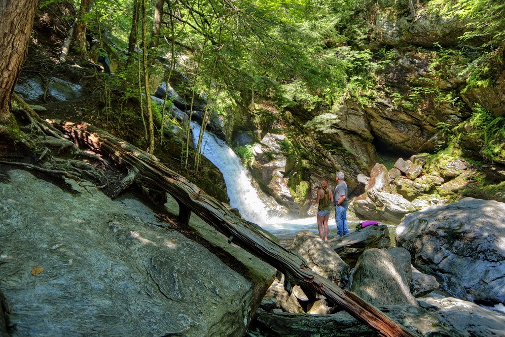
Bingham Falls 11 - The Plunge: wider view
2012 vermont signs us2 vt100 favorites 5favorites 500views
Classic Vermont US 2 Shield
panorama mountain black ski ice point hardware high vermont mt angle pano wide peak bowl panoramic resort diamond mount alpine area summit axe stowe tundra vt mansfield smugglers notch piolet flickrandroidapp:filter=berlin
Mount Mansfield 4,393 Ft. #21
mossglenfalls mossglenfallsnaturalarea ccputnamstateforest
Moss Glen Falls, Moss Glen Brook, C.C. Putnam State Forest, Burt Hollow Unit, Moss Glen Falls Natural Area, Lamoille County, Vermont 1
hiking trail nikon d7100 vermont vt lake lakemansfield nebraskanotch stowe clouds
Lake Mansfield
waterfall waterbury vermont unitedstates
Bolton Potholes(2)
mountain landscape snow winter cold weather foggy fog clouds cloudporn nature naturephotography stowemountainresort stowe vermont vt unitedstatesofamerica usa nikon d610 nikkor 2018g fav10 fav25 fav50
Mt. Mansfield
stowe vermont newengland winter barn snow road fields
Grand View Farm
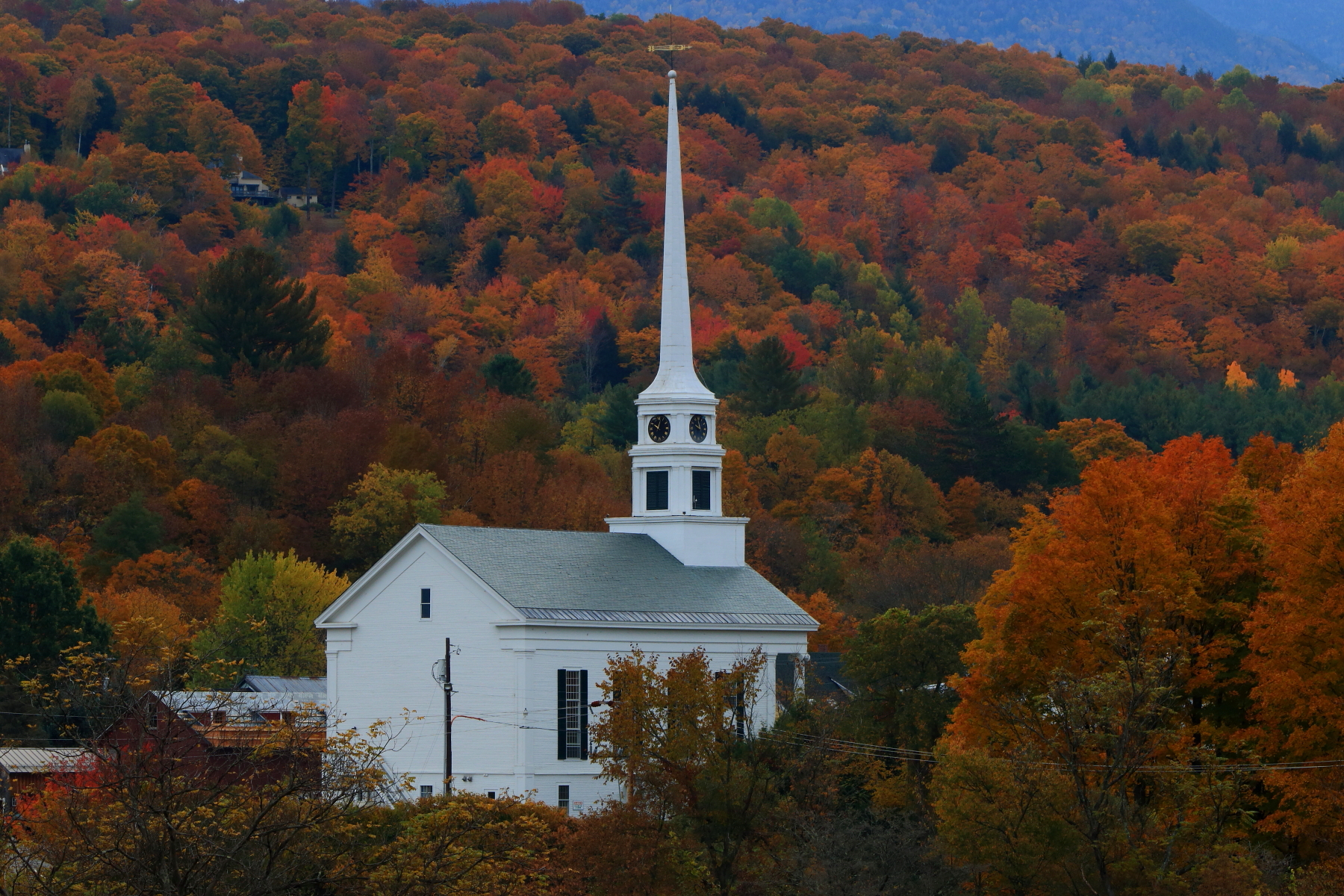
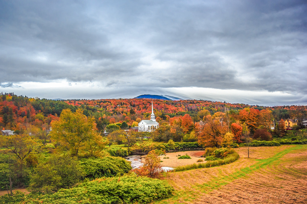
Stowe Community Church, VT
vermont fallfoliage stowe canonef24105mmf4l 5dmarkii stowecommunitychurch
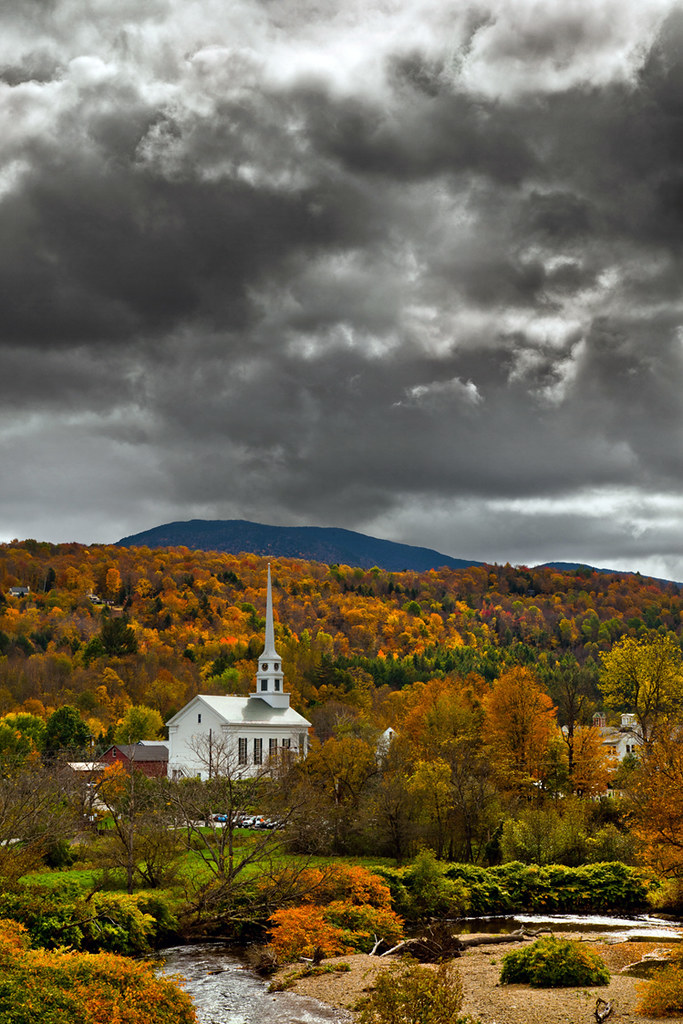
The Stowe Community Church
wood trees sunset test usa sun mountain 3 detail tree nature set forest canon landscape eos woods vermont quiet peace view angle mark iii wide peaceful 5d stowe setting hdr mk mk3
Peaceful Sunset
trees summer white house mountains green nature landscape photo vermont unitedstates photograph stowe vt birchtrees greenmountains mountainhouse
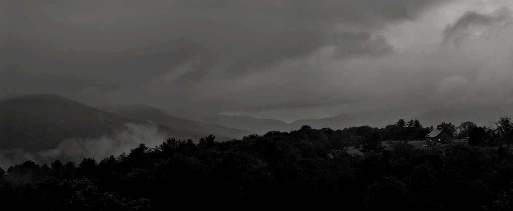
House in the Mountains (DSH_5786)
us usa vt unitedstates vermont fall autumn automne landscape stowe licensed fineart fineartamerica dreamstime eyeem adobe adobestock fotolia 123rf rf123 eyeemongetty license
Vermont fall landscape
I can see my house from here
new wood travel bridge england fall water gold nikon stream long exposure vermont angle ryan wide covered brook 5100 stowe vt grennan d5100 rwgrennan rgrennan
Gold Brook Covered Bridge - Explore
longexposure travel nature landscape vermont outdoor worcester mossglenfalls canoneos7d
Moss Glen Falls
longexposure autumn light fall nature water waterfall vermont newengland foliage stowe chasinglight
Moss Glen Falls
waterfall waterbury vermont unitedstates
Potholes(3)
autumn landscape plants nature city aerial traffic trees maple drone road stowe travel america northamerica lamoillecounty vermont fallcolours unitedstates smugglersnotch season foliage fall theunitedstatesofamerica us usa unitedstatesofamerica countryroad countryside
???? Smugglers Notch | Vermont
autumn usa fall rain forest waterfall stream vermont fallcolors newengland overcast brook stowe cascade mossglenfalls
Color Cascade
usa fall autumn vermont stowe leaves red yellow orange trees hiking trail
Fall colours in Stowe, Vermont (Explored 29 Dec 2017)
landscape autumn fall foliage fallfoliage sky clouds mountain mtmansfield nature field harvest naturephotography america fun colourful colorful contrast vivid bright nikon d610 nikkor 2018g morristown vermont vt unitedstatesofamerica usa elmore fav10 fav25 fav50
A Bright Sunshiny Day
landscape snow winter cold weather trees mountain nature naturephotography nikon d610 nikkor 5018g stowemountainresort stowe vermont vt unitedstatesofamerica usa rain fog fav10 fav25
Up on the mountain
autumn trees white fall newengland whitechurchsteeplechurchfallcolorsvillagemountainfogstowevermontvtstowevermont
The New England White Church
summer vacation usa tree green water rural forest river us flora vermont outdoor unitedstatesofamerica july hike trail waterfalls northamerica gorge stowe he cascade naturalworld hdr northwoods greenmountains westbranch ruralscenes binghamfalls lewisfalls northernforest roaringfalls riparianecosystem photogeorge smugglersnotchstatepark mtmansfieldstateforest uppermountainroad waterburyriver stowelandtrust nikond750 acdseeultimate8 vermontrt108 bedrockgneiss bedrockhazensnotchschist grottocascade orphacascade williamhhbingham
Bingham Falls 16 - River Bank just above shoreline