Elevation of Ayahualulco, Ver., Mexico
Location: Mexico > Veracruz >
Longitude: -97.148438
Latitude: 19.3512381
Elevation: 2056m / 6745feet
Barometric Pressure: 79KPa
Elevation Map:
Satellite Map:
Related Photos:
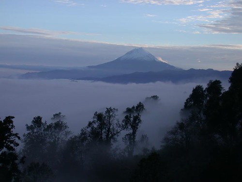
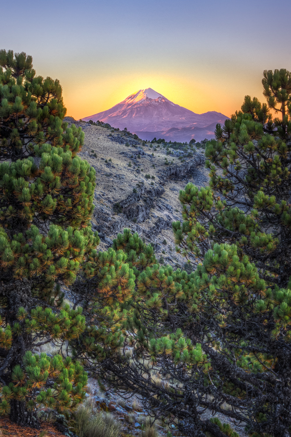
Pico de Orizaba Just After Sunset
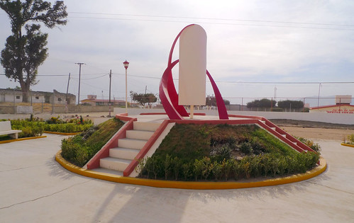
Geometric Sculpture in La Gloria (second view)
Share With Me
Perote > Orizaba
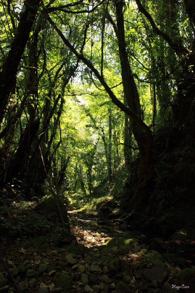
Más y más cascadas
Citlaltépetl en un dorado amanecer
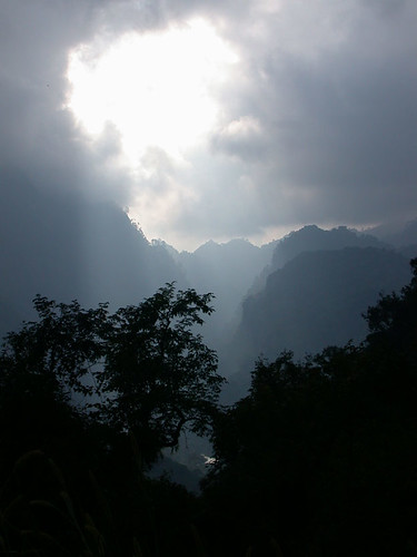
Barranca Grande
...
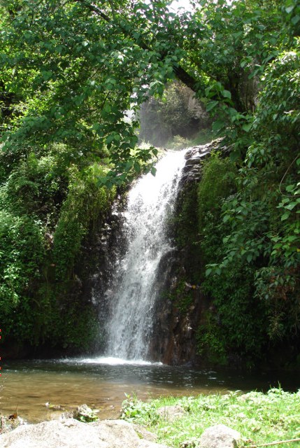
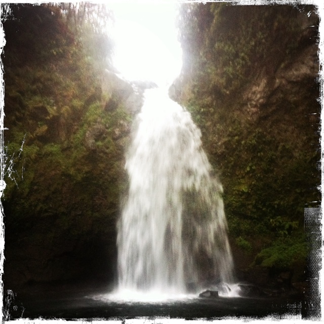
Cascada de Naranjitos, Ayahualulco.
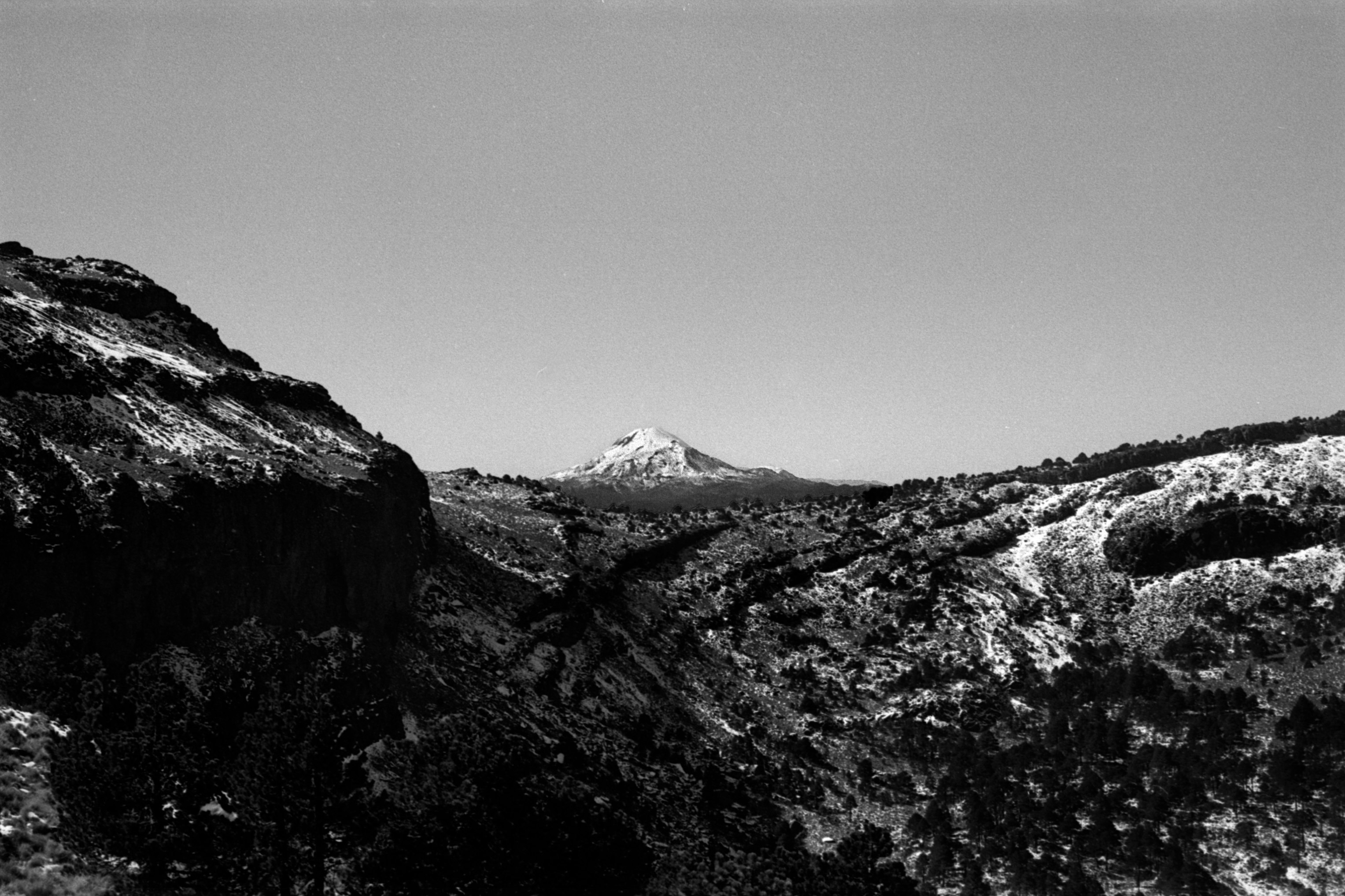
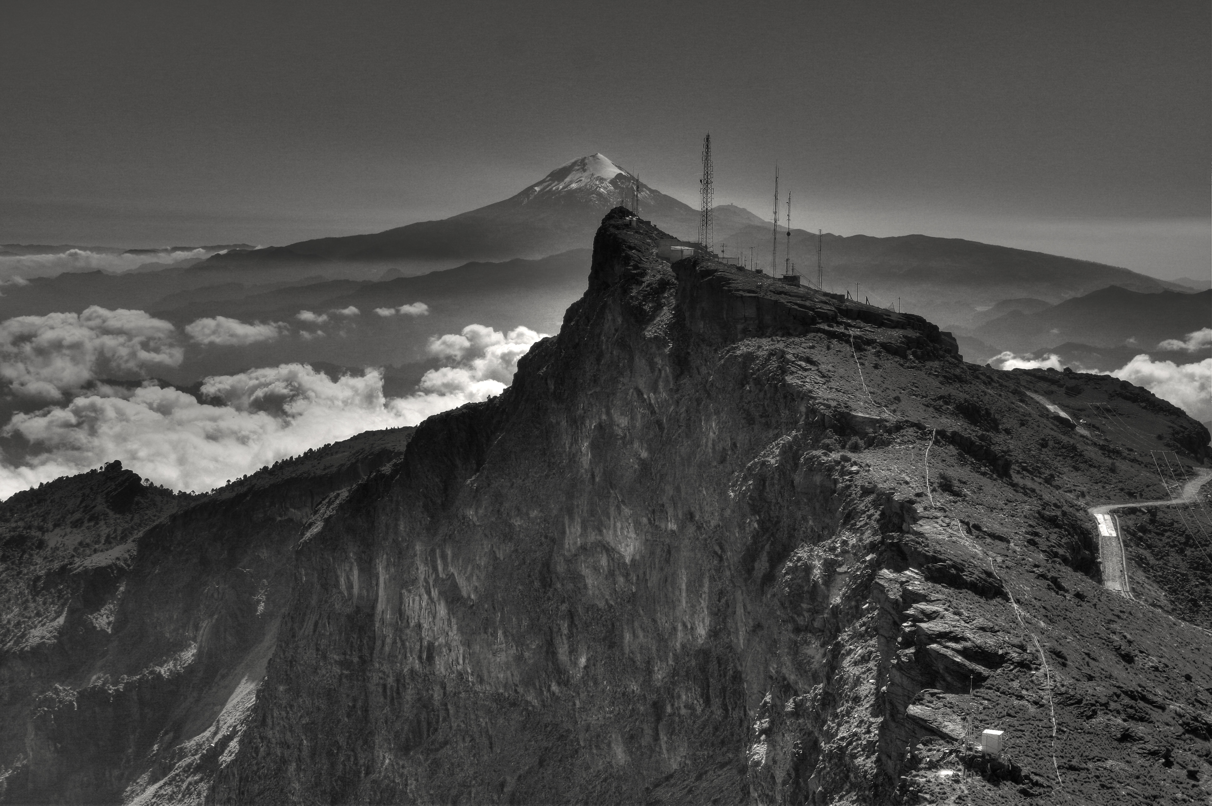
Pico de Orizaba
Topographic Map of Ayahualulco, Ver., Mexico
Find elevation by address:

Places in Ayahualulco, Ver., Mexico:
Places near Ayahualulco, Ver., Mexico:
Benito Juárez, Ayahualulco, Ver., Mexico
Javier Mina 28, La Plaza, Ixhuacán de los Reyes, Ver., Mexico
Ixhuacán De Los Reyes
Cofre De Perote
Guadalupe Victoria
Perote
Calle Independencia 4, Guadalupe Victoria, Ver., Mexico
Guadalupe Victoria
Perote
Calle 16 de Septiembre 38, El Salado, Pue., Mexico
Adolfo López Mateos 8, Cerro de Juárez, Las Vigas de Ramírez, Ver., Mexico
Puebla - Xalapa, Villa Aldama, Ver., Mexico
Nicolás Bravo 30, Antonio Luna, Coscomatepec de Bravo, Ver., Mexico
Antonio Luna
Las Vigas De Ramírez
Las Vigas De Ramírez
Coscomatepec
Av. Miguel Hidalgo 87, Tetelcingo, Tetelzingo, Ver., Mexico
Tetelcingo
Tetelzingo
Recent Searches:
- Elevation of Corso Fratelli Cairoli, 35, Macerata MC, Italy
- Elevation of Tallevast Rd, Sarasota, FL, USA
- Elevation of 4th St E, Sonoma, CA, USA
- Elevation of Black Hollow Rd, Pennsdale, PA, USA
- Elevation of Oakland Ave, Williamsport, PA, USA
- Elevation of Pedrógão Grande, Portugal
- Elevation of Klee Dr, Martinsburg, WV, USA
- Elevation of Via Roma, Pieranica CR, Italy
- Elevation of Tavkvetili Mountain, Georgia
- Elevation of Hartfords Bluff Cir, Mt Pleasant, SC, USA