Elevation of Avadi, Tamil Nadu, India
Location: India > Tamil Nadu > Tiruvallur >
Longitude: 80.0969511
Latitude: 13.1067448
Elevation: 27m / 89feet
Barometric Pressure: 101KPa
Elevation Map:
Satellite Map:
Related Photos:

Ramapuram View @ Long Shutter
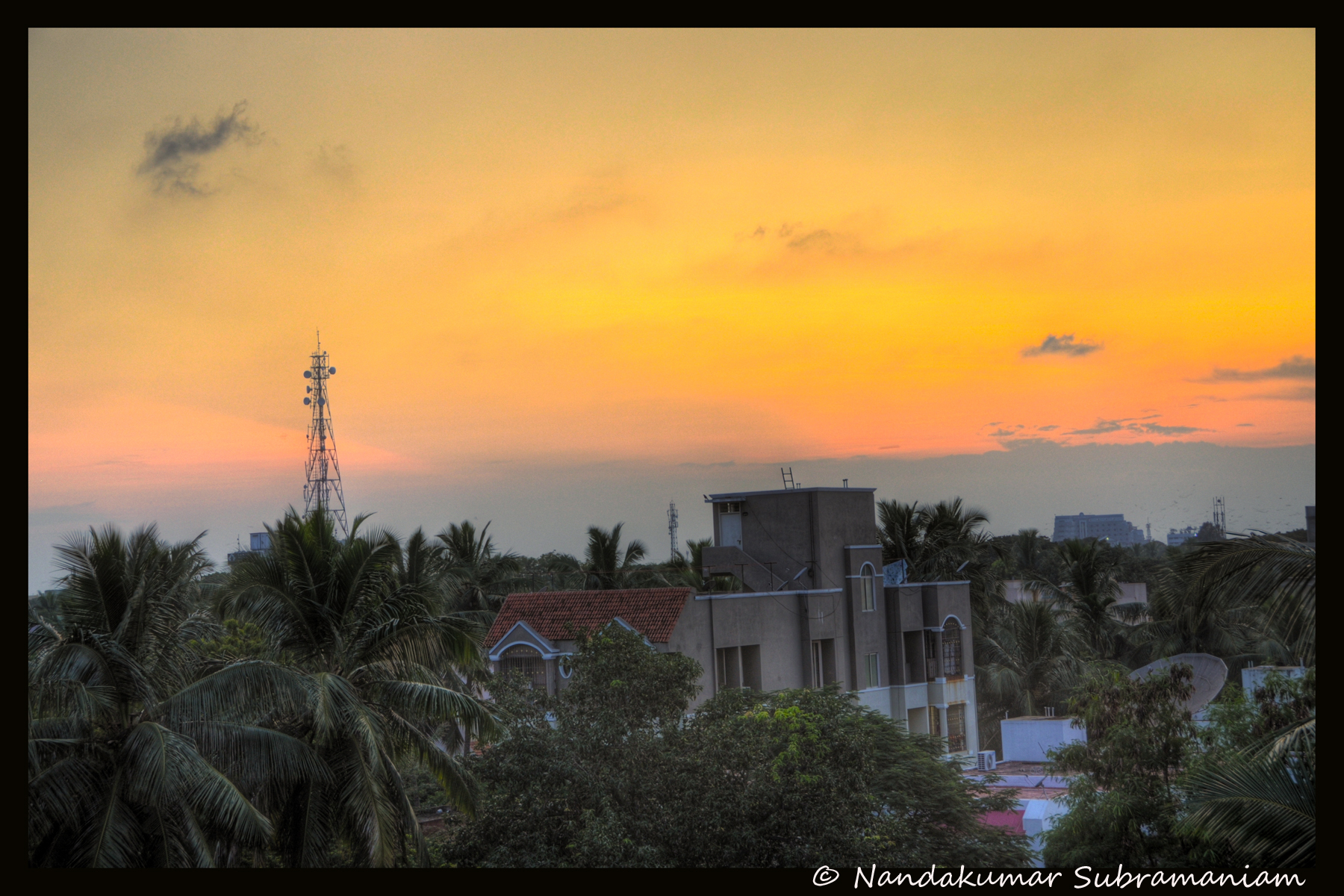
The Golden Hours
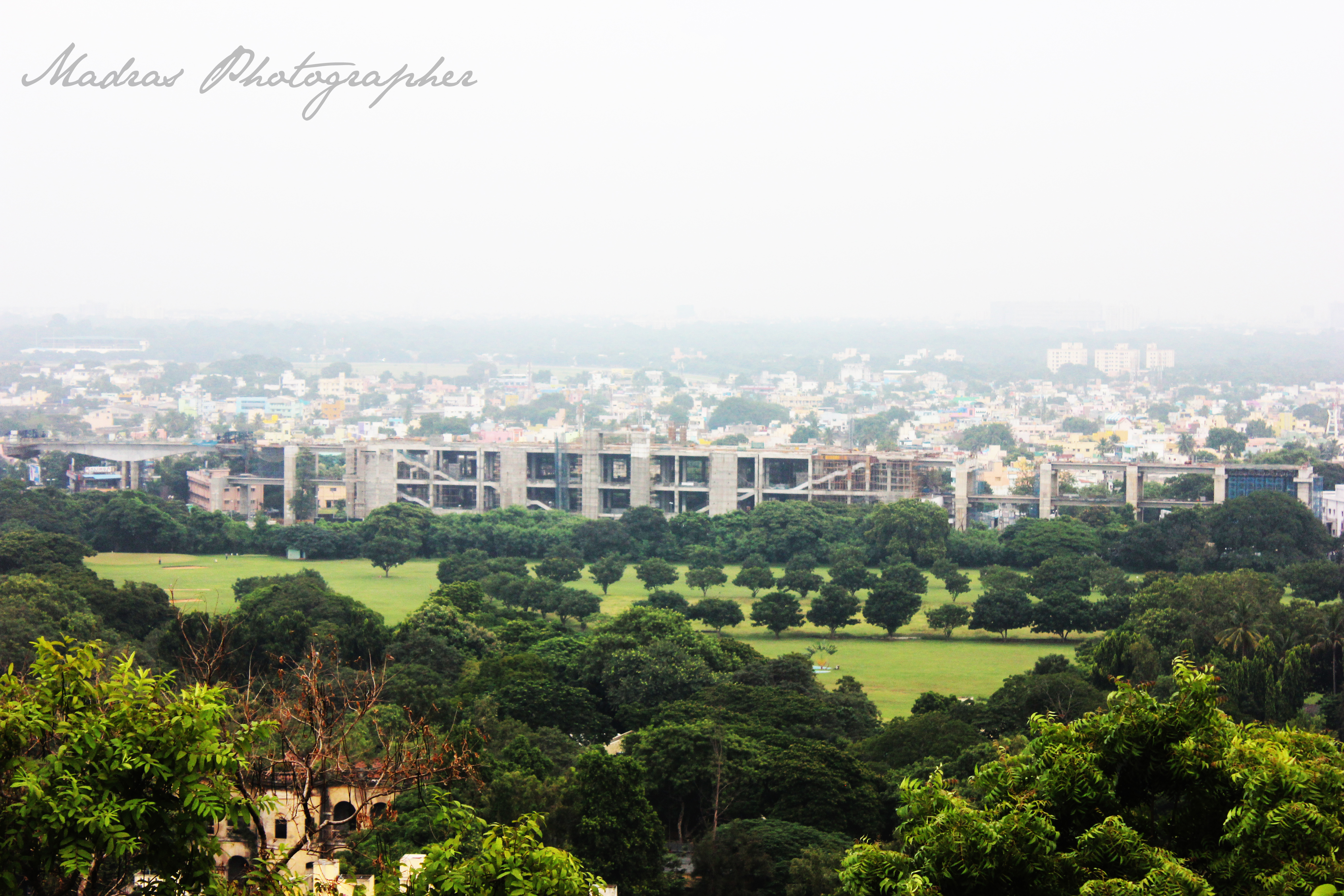
Towering view from the mount
Topographic Map of Avadi, Tamil Nadu, India
Find elevation by address:

Places near Avadi, Tamil Nadu, India:
Kalignar Street
Sathya Nagar
Thirumullaivoyal
Thiruverkadu
Ambattur
Teachers Colony
Rajammal Nagar, Teachers Colony
Ayapakkam, Teachers Colony
Vgn Mahalakshmi Nagar
Poonamallee
Vgn Mahalakshmi Nagar Extn 5 Park
Nazarathpettai
Brikhouse Apartment
Ganga Nagar
Shri Vaaru Avenue
Fantastic By Urban Tree
Rajiv Nagar
Agraharamel
Cooum River
Moovendhar Nagar
Recent Searches:
- Elevation of Corso Fratelli Cairoli, 35, Macerata MC, Italy
- Elevation of Tallevast Rd, Sarasota, FL, USA
- Elevation of 4th St E, Sonoma, CA, USA
- Elevation of Black Hollow Rd, Pennsdale, PA, USA
- Elevation of Oakland Ave, Williamsport, PA, USA
- Elevation of Pedrógão Grande, Portugal
- Elevation of Klee Dr, Martinsburg, WV, USA
- Elevation of Via Roma, Pieranica CR, Italy
- Elevation of Tavkvetili Mountain, Georgia
- Elevation of Hartfords Bluff Cir, Mt Pleasant, SC, USA