Elevation of Autumn Dr, Maggie Valley, NC, USA
Location: United States > North Carolina > Haywood County > Ivy Hill >
Longitude: -83.161975
Latitude: 35.5147712
Elevation: 1437m / 4715feet
Barometric Pressure: 85KPa
Elevation Map:
Satellite Map:
Related Photos:

Palmer Creek Cascades 2
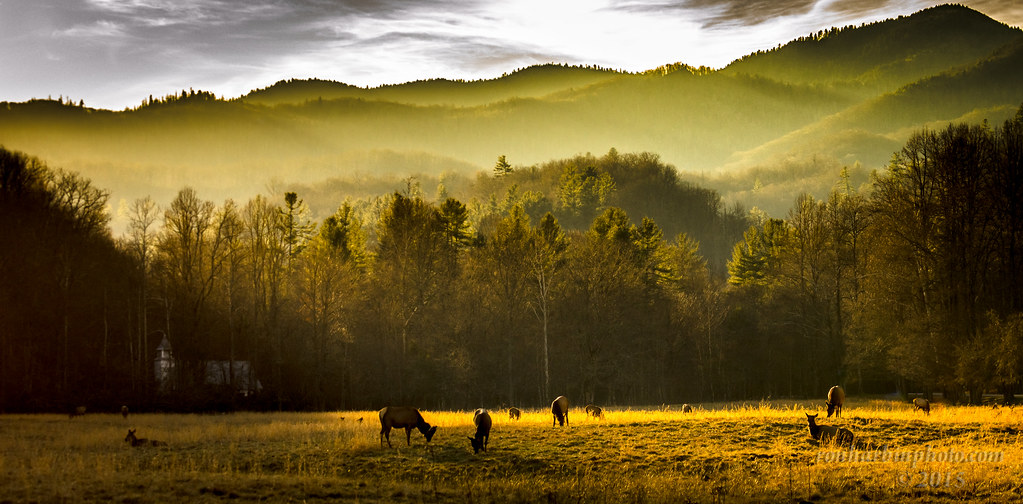
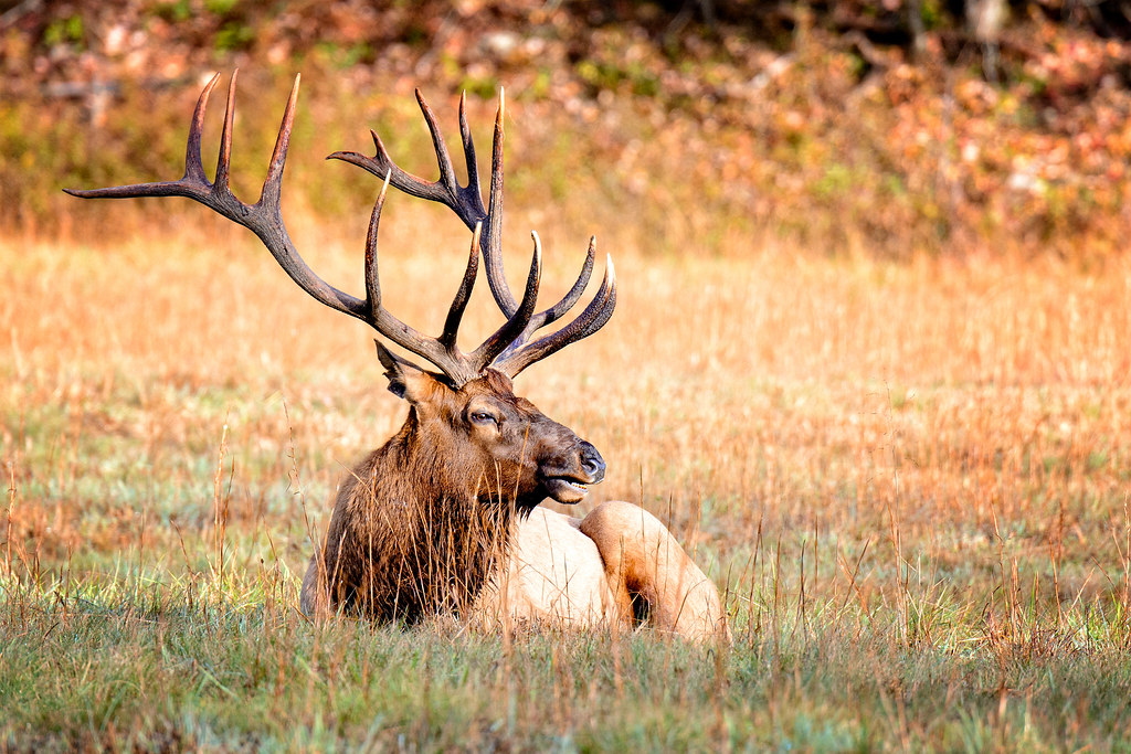
Cataloochee Elk-GSMNP

Mingo Falls
Woodfin Valley - EOS_00870

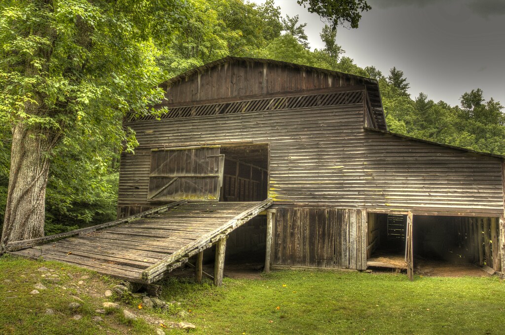
Mountain Farm Barn
Cabin in the Field

Mingo Falls
Palmer Barn Door

Mingus Mill

Appalachian Homestead
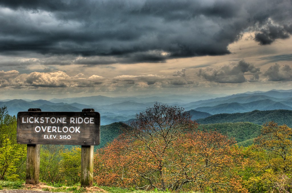
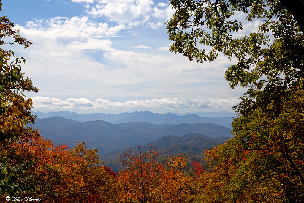
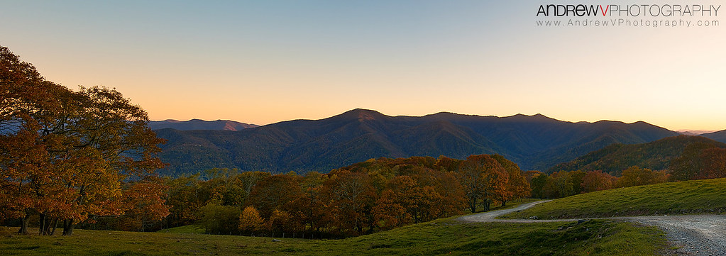
Lickstone Ridge Overlook in HDR
Fall View
Profile View
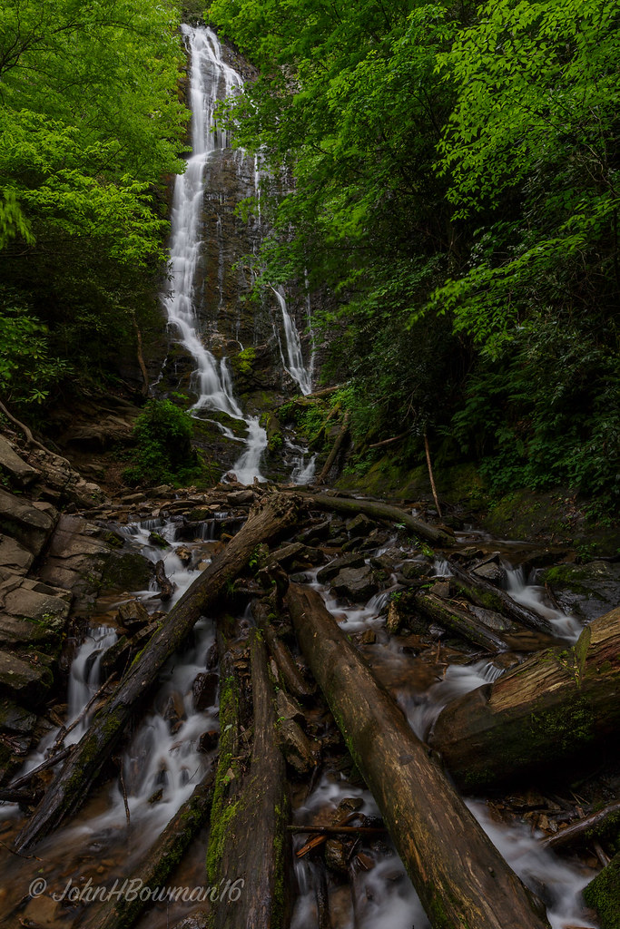
Mingo Falls
Maggie Valley, NC

IMG_1963-100414

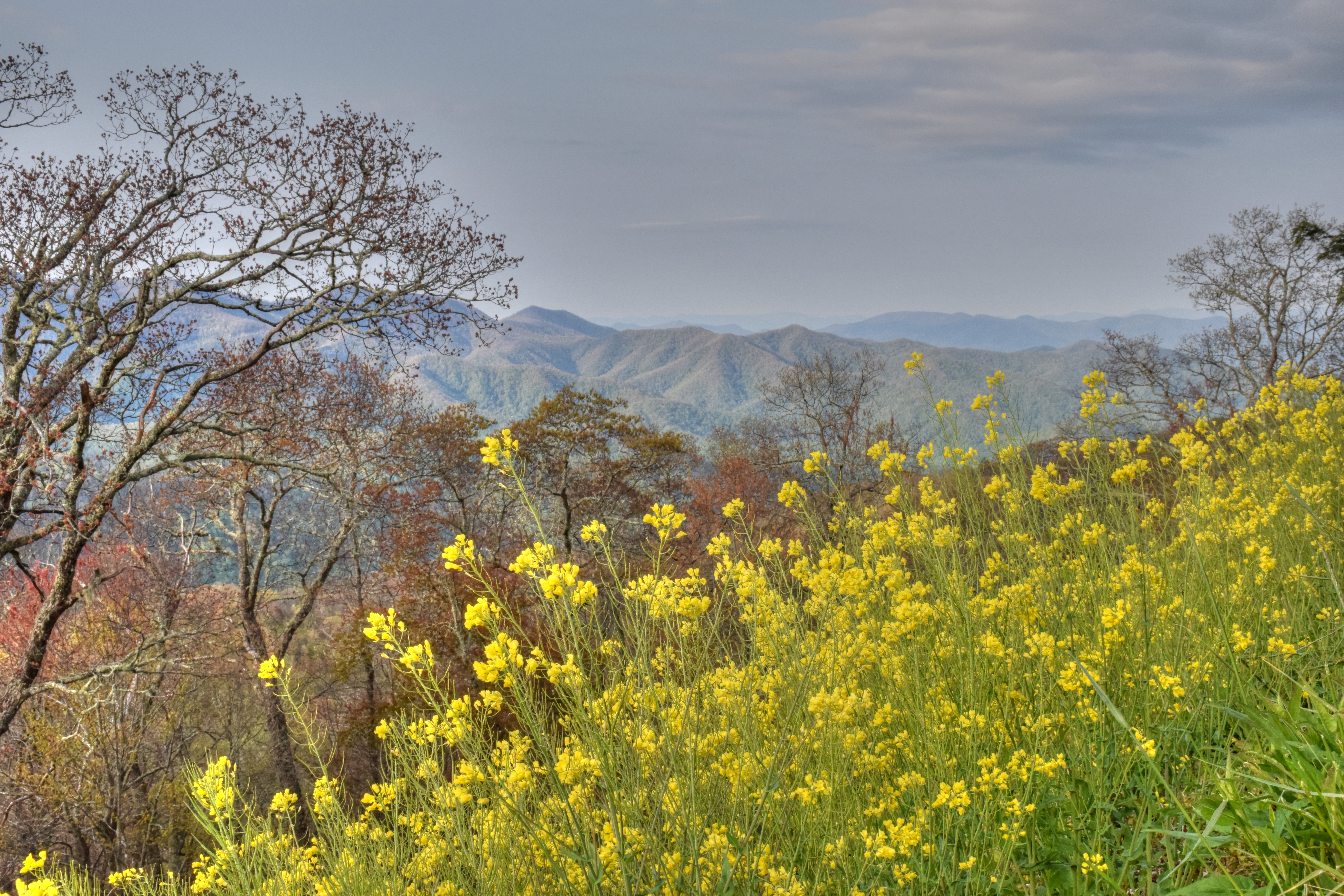
Roundleaf Groundsel
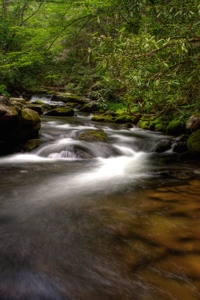
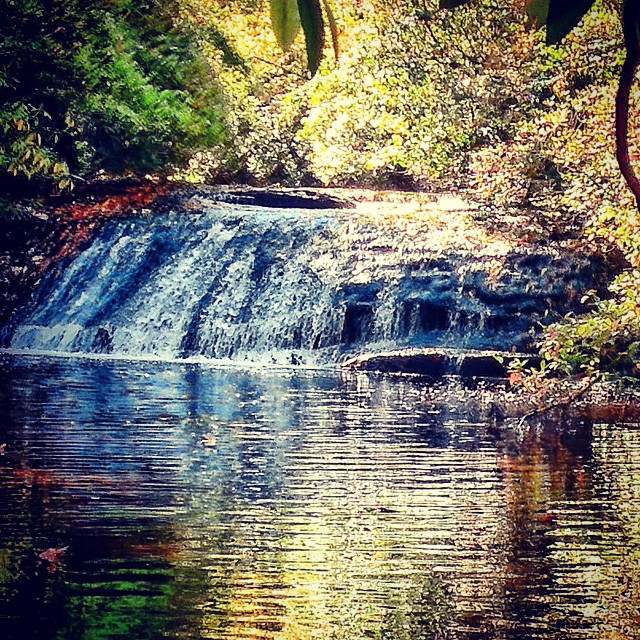
Mountain Stream
Blue Ridge Parkway Roadside
Cranberry Ridge Overlook View 2

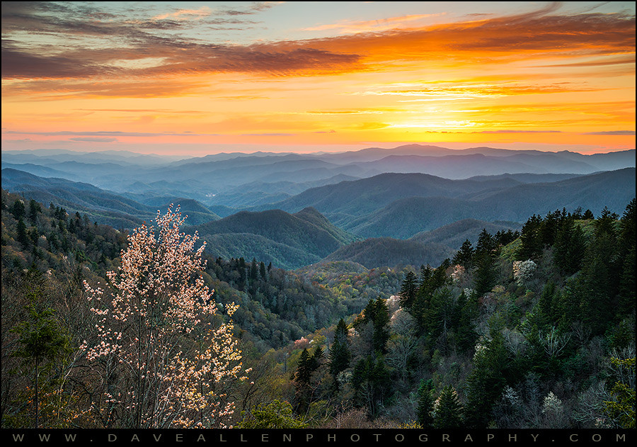
Waterrock Knob Sunset

Cloud and Color

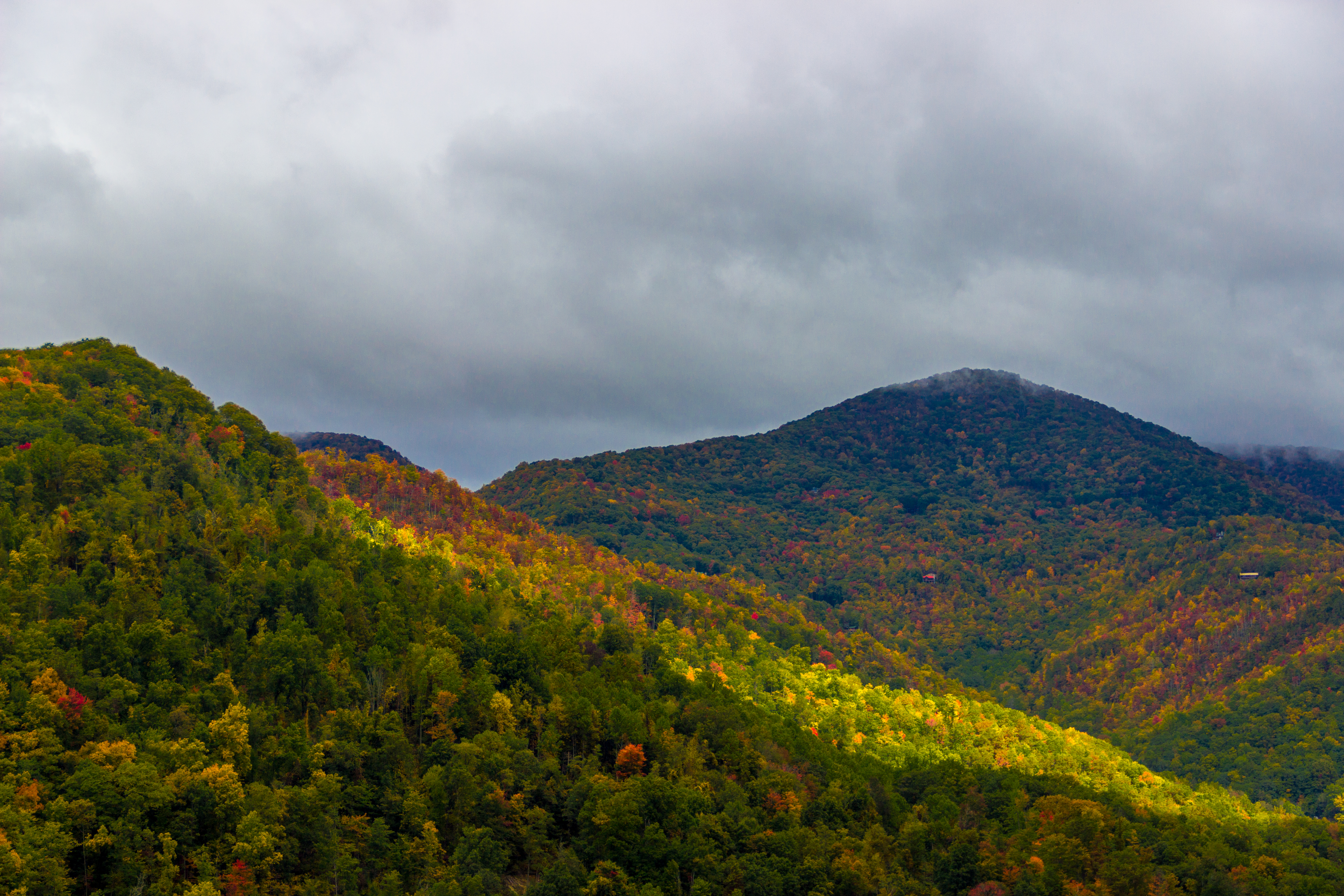
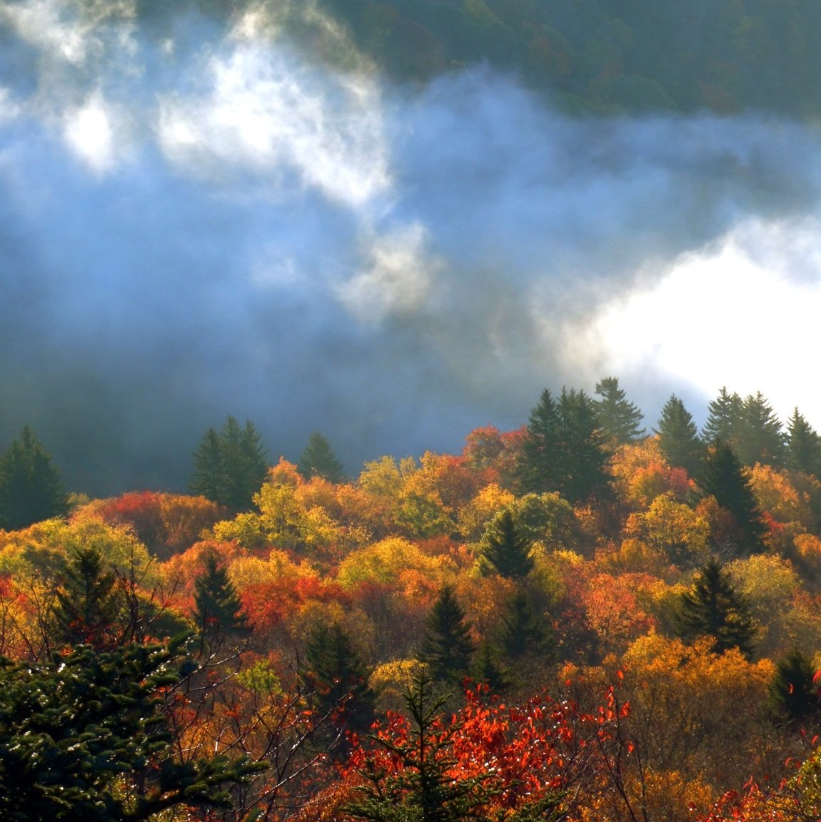
Blue Ridge Autumn

After leaving Oconaluftee, (an Indian Village in Cherokee, North Carolina) I felt really humble to see in person what it was like to experience how 18th century Indians lived and learn more history of our land. Unfortunately, the white settlers brought so
Sunlight Dancing On The Mountain's Edge
Sunset at Waterrock Knob - Explored
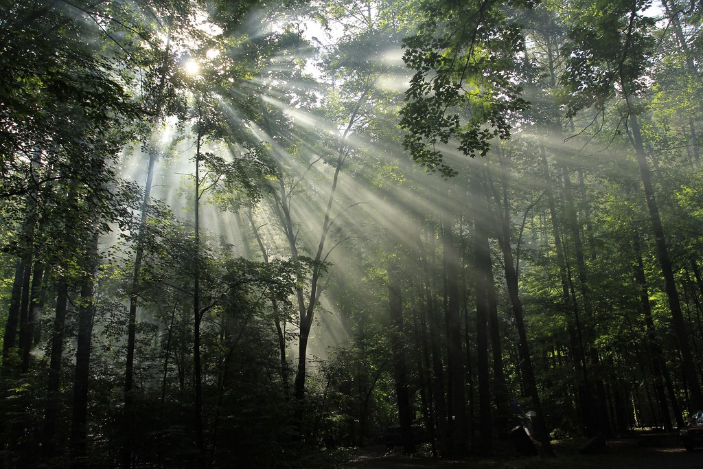
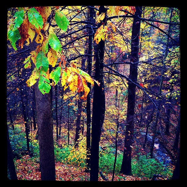
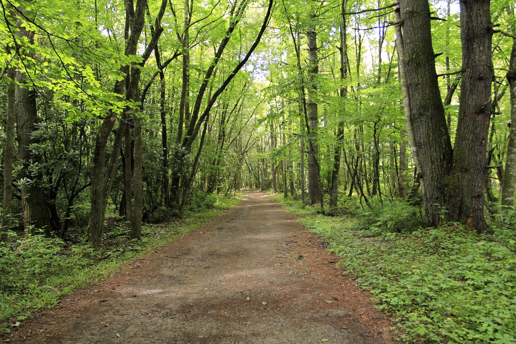
Light in the Forest

Soco Falls
Mac's Falls #macsfalls #panthertownvalley #landofwaterfalls #wilderness_culture #welovenc #we_see_wnc #blueridgecountry #cascades #cashiers #diamondbrand_outdoors #greenlandcreek #honeybadgerhiking
Outlook on Life
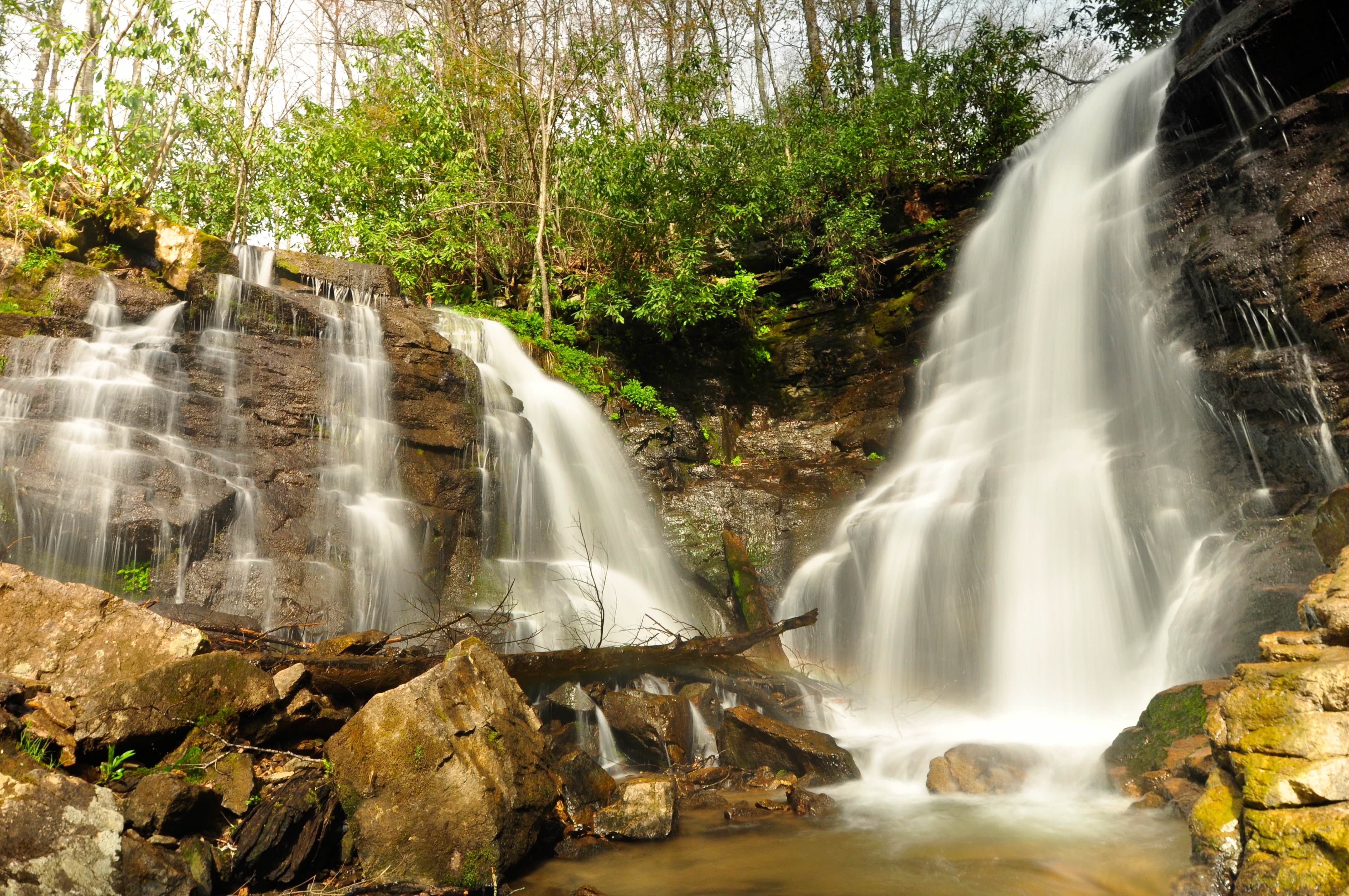
Soco Falls
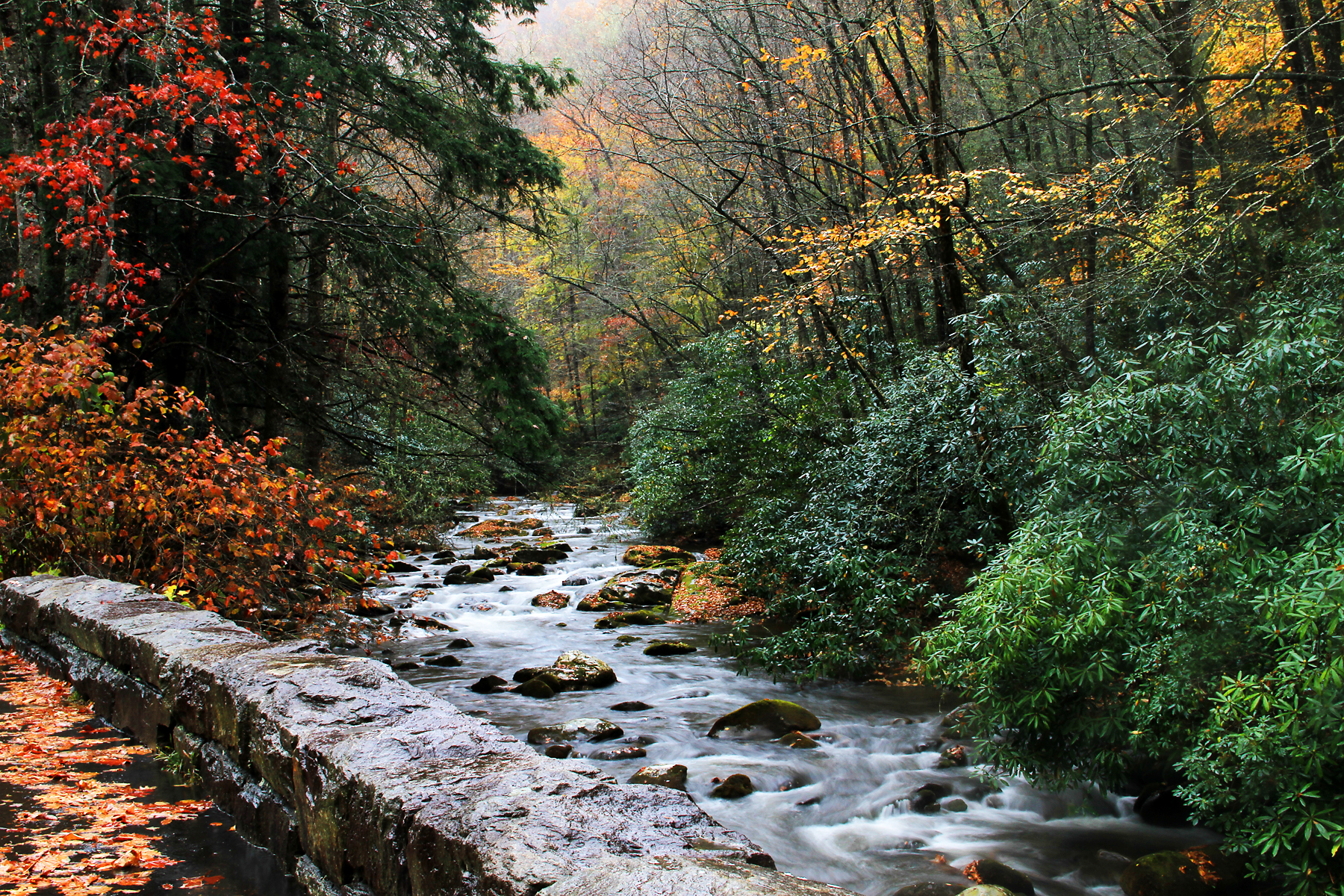
Mountain Stream Near Smokmont Campgrounds, GSMNP
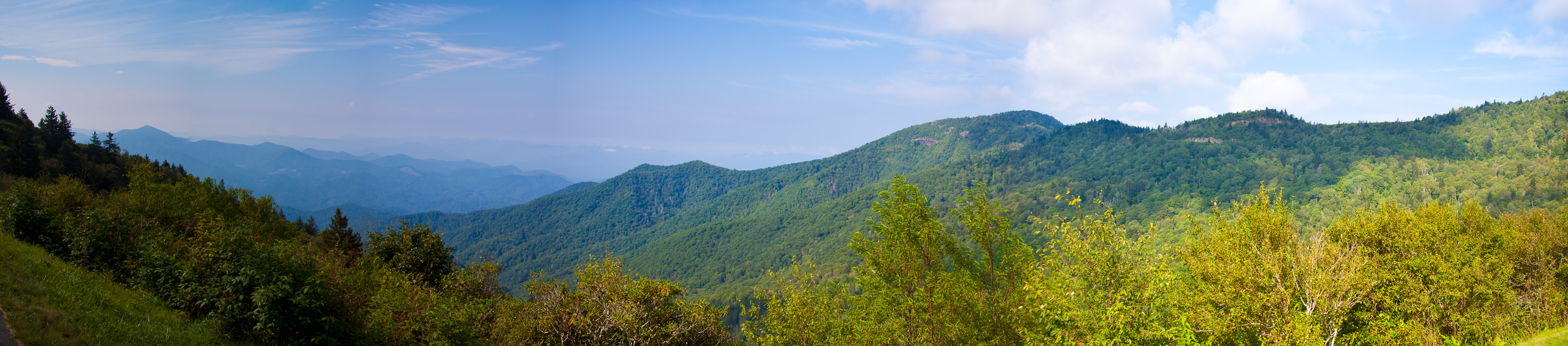
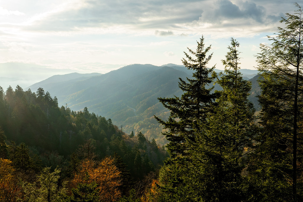
Great Smoky Mountains Landscape Photography
Into the Forest
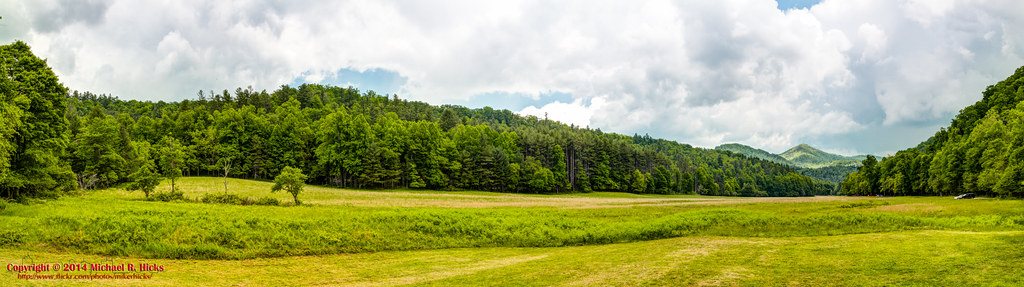
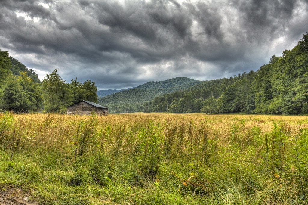
Cataloochee Field

Mingus Mill Falls
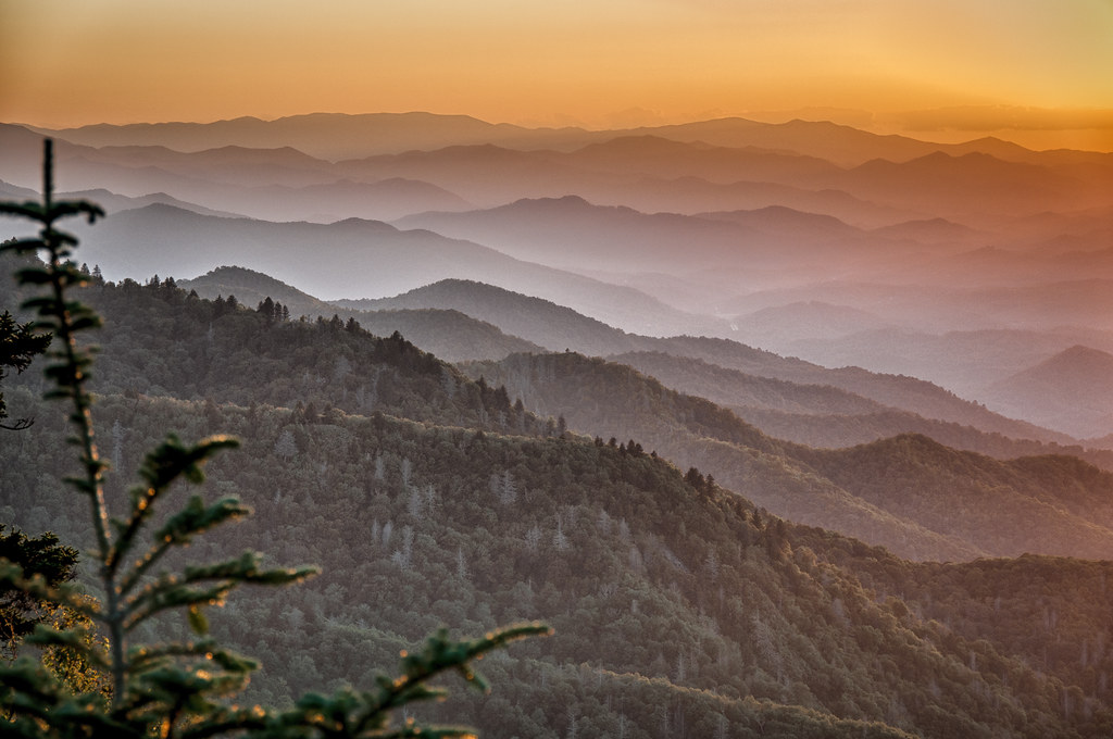
Waterrock Knob Sunrise , Clouds, and Color

Flow Below Mingo Falls HD Wallpaper

Fall River | Cherokee, NC

King's Creek Falls #kingscreekfalls #southcarolinawaterfalls #waterfallpics #waterfallhiking #waterfallphotography #chattoogarivertrail #foothillstrail #oconeecountywaterfalls #igersoftheday #iphotography #sumternationalforest #upstatesouthcarolina
Topographic Map of Autumn Dr, Maggie Valley, NC, USA
Find elevation by address:

Places near Autumn Dr, Maggie Valley, NC, USA:
630 Autumn Dr
630 Autumn Dr
630 Autumn Dr
630 Autumn Dr
675 Autumn Dr
686 Autumn Dr
686 Autumn Dr
686 Autumn Dr
686 Autumn Dr
49 Eagle Dr
939 Autumn Dr
32 Minot Ln
32 Minot Ln
1277 Long Branch Rd
1277 Long Branch Rd
228 Autumn Dr
35 Dolphin Dr
178 Dolphin Dr
70 Wolf Laurel Dr
326 Long Branch Rd
Recent Searches:
- Elevation of Corso Fratelli Cairoli, 35, Macerata MC, Italy
- Elevation of Tallevast Rd, Sarasota, FL, USA
- Elevation of 4th St E, Sonoma, CA, USA
- Elevation of Black Hollow Rd, Pennsdale, PA, USA
- Elevation of Oakland Ave, Williamsport, PA, USA
- Elevation of Pedrógão Grande, Portugal
- Elevation of Klee Dr, Martinsburg, WV, USA
- Elevation of Via Roma, Pieranica CR, Italy
- Elevation of Tavkvetili Mountain, Georgia
- Elevation of Hartfords Bluff Cir, Mt Pleasant, SC, USA