Elevation map of Aurukun QLD, Australia
Location: Australia > Queensland >
Longitude: 141.728066
Latitude: -13.357266
Elevation: 13m / 43feet
Barometric Pressure: 101KPa
Elevation Map:
Satellite Map:
Related Photos:
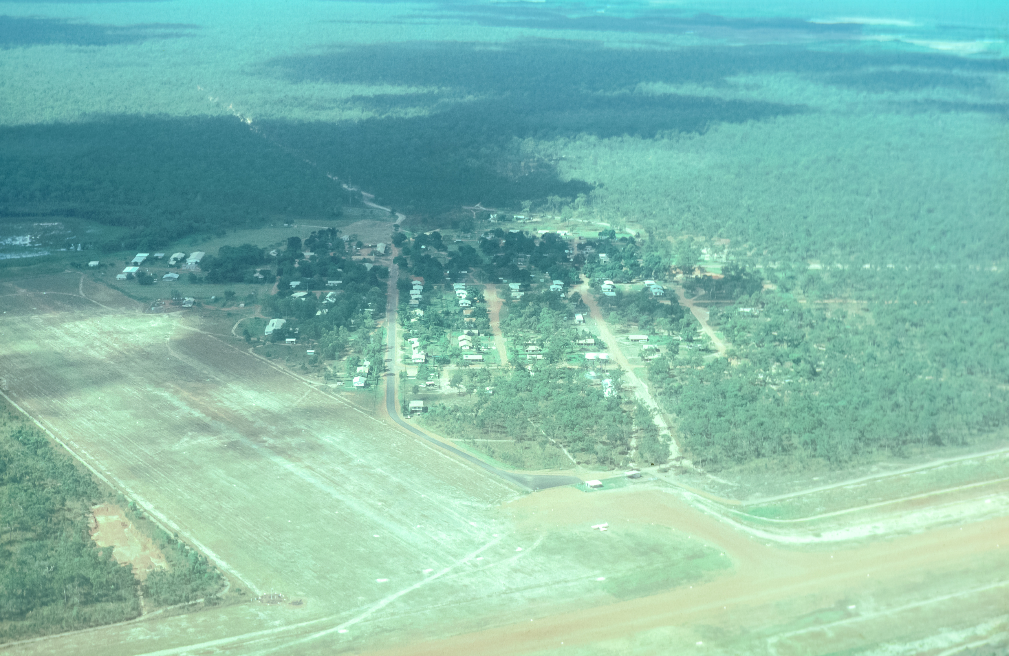
Overflying Aukukun
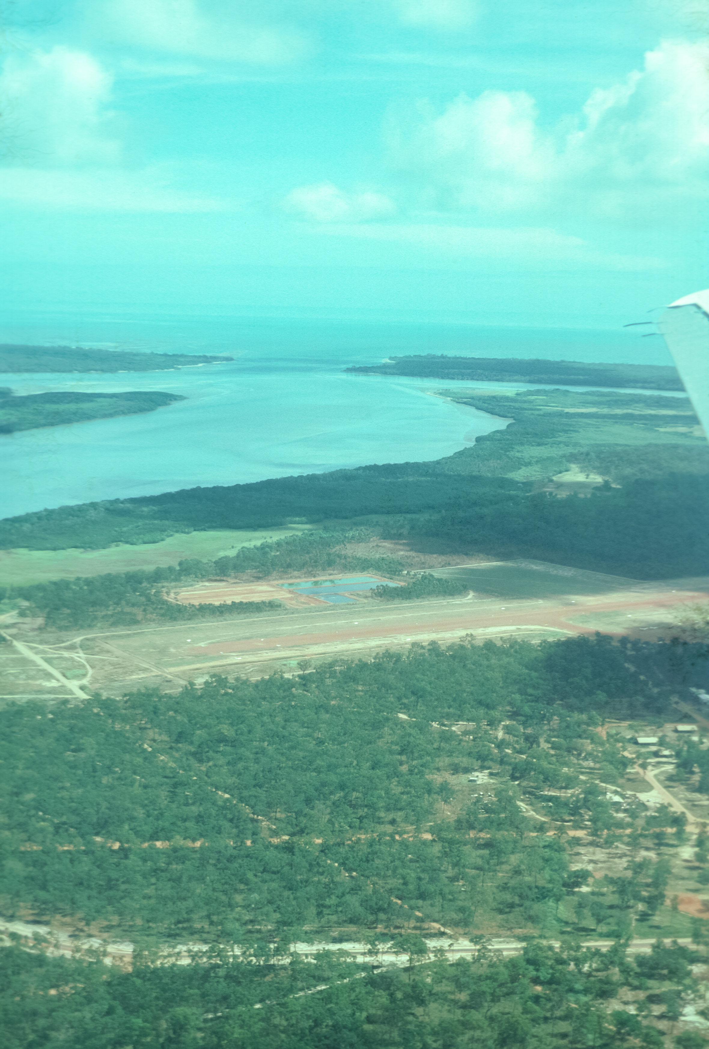
Arukun Airstrip and Archer River
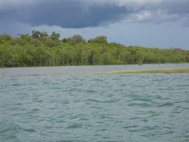
Mouth of the harbour at Aurukun
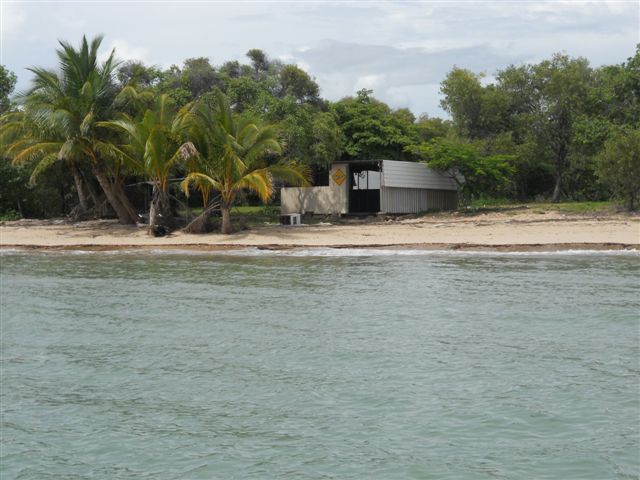
Mouth of the harbour at Aurukun
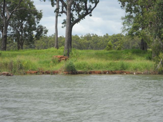
Mouth of the harbour at Aurukun

Mouth of the harbour at Aurukun
Topographic Map of Aurukun QLD, Australia
Find elevation by address:

Recent Searches:
- Elevation of Corso Fratelli Cairoli, 35, Macerata MC, Italy
- Elevation of Tallevast Rd, Sarasota, FL, USA
- Elevation of 4th St E, Sonoma, CA, USA
- Elevation of Black Hollow Rd, Pennsdale, PA, USA
- Elevation of Oakland Ave, Williamsport, PA, USA
- Elevation of Pedrógão Grande, Portugal
- Elevation of Klee Dr, Martinsburg, WV, USA
- Elevation of Via Roma, Pieranica CR, Italy
- Elevation of Tavkvetili Mountain, Georgia
- Elevation of Hartfords Bluff Cir, Mt Pleasant, SC, USA