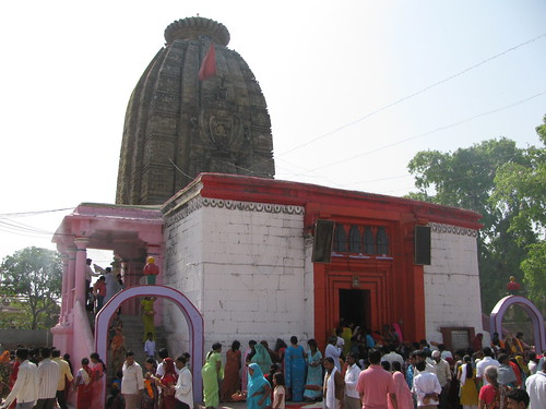
Elevation map of Aurangabad, Bihar, India
Location: India > Bihar >
Longitude: 84.3542049
Latitude: 24.7033198
Elevation: 121m / 397feet
Barometric Pressure: 100KPa
Related Photos:
Topographic Map of Aurangabad, Bihar, India
Find elevation by address:

Places in Aurangabad, Bihar, India:
Places near Aurangabad, Bihar, India:
Primary School Bishrampur
Karma Bala
Dehri
Bisrampur
Sasaram
Rohtas
Palamu
Lesliganj
Kaimur
Satbarwa
Bhabua
Kaimur
Kotam
Chiniya Road
Garhwa
Ranka
Dhanapur
Robertsganj
Sonbhadra
Anandbagh
Recent Searches:
- Elevation of Corso Fratelli Cairoli, 35, Macerata MC, Italy
- Elevation of Tallevast Rd, Sarasota, FL, USA
- Elevation of 4th St E, Sonoma, CA, USA
- Elevation of Black Hollow Rd, Pennsdale, PA, USA
- Elevation of Oakland Ave, Williamsport, PA, USA
- Elevation of Pedrógão Grande, Portugal
- Elevation of Klee Dr, Martinsburg, WV, USA
- Elevation of Via Roma, Pieranica CR, Italy
- Elevation of Tavkvetili Mountain, Georgia
- Elevation of Hartfords Bluff Cir, Mt Pleasant, SC, USA


