Elevation of Aul Pyatyy, Kyrgyzstan
Location: Kyrgyzstan > Talas Region > Talas >
Longitude: 73
Latitude: 42.4166669
Elevation: 2025m / 6644feet
Barometric Pressure: 79KPa
Elevation Map:
Satellite Map:
Related Photos:

Ron - into the art

My, how things grow!

Ron - surrounded by words
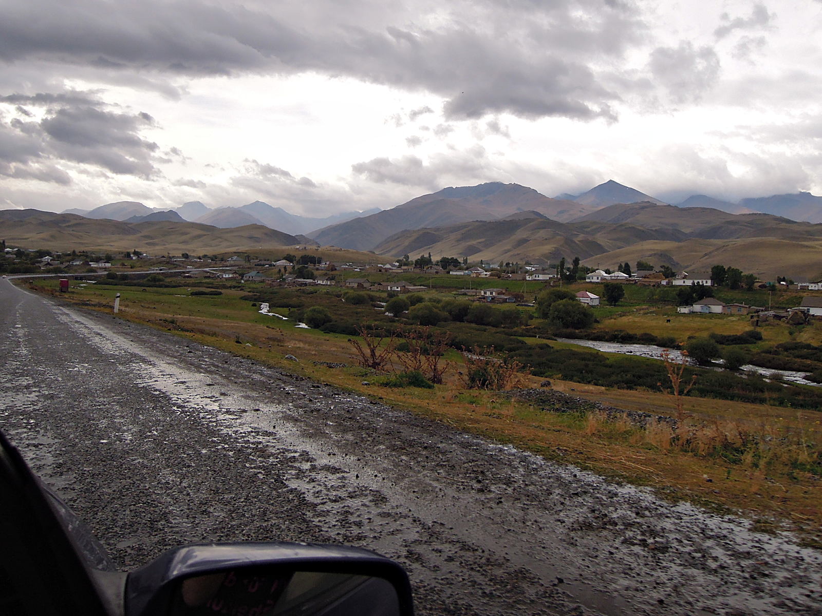
Taldy-Bulak
Big Bird

Mass MoCA
Topographic Map of Aul Pyatyy, Kyrgyzstan
Find elevation by address:

Places near Aul Pyatyy, Kyrgyzstan:
Recent Searches:
- Elevation of Corso Fratelli Cairoli, 35, Macerata MC, Italy
- Elevation of Tallevast Rd, Sarasota, FL, USA
- Elevation of 4th St E, Sonoma, CA, USA
- Elevation of Black Hollow Rd, Pennsdale, PA, USA
- Elevation of Oakland Ave, Williamsport, PA, USA
- Elevation of Pedrógão Grande, Portugal
- Elevation of Klee Dr, Martinsburg, WV, USA
- Elevation of Via Roma, Pieranica CR, Italy
- Elevation of Tavkvetili Mountain, Georgia
- Elevation of Hartfords Bluff Cir, Mt Pleasant, SC, USA