Elevation of Augusta, GA, USA
Location: United States > Georgia > Richmond County >
Longitude: -82.010514
Latitude: 33.4734978
Elevation: 95m / 312feet
Barometric Pressure: 100KPa
Elevation Map:
Satellite Map:
Related Photos:
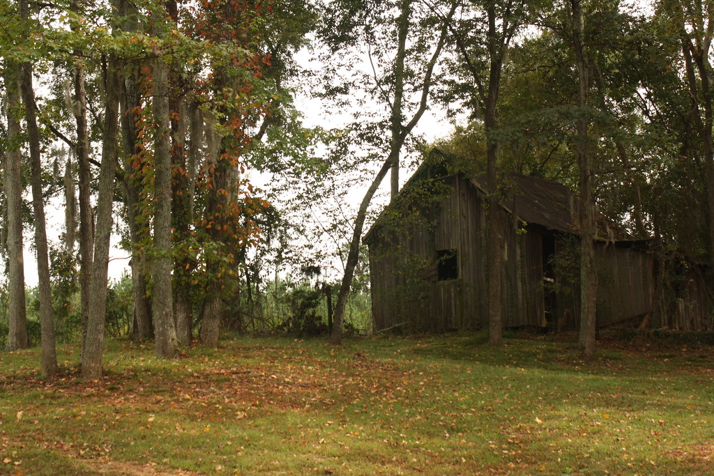
Scenic view in Aiken County.
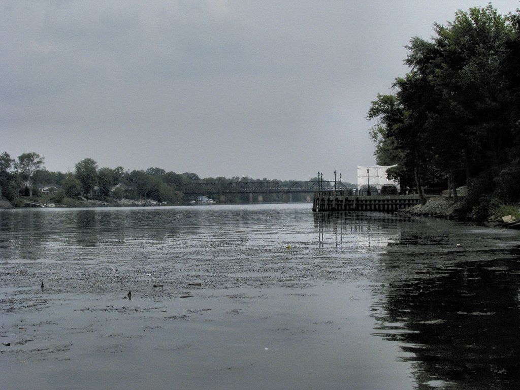
Southeast View of the Savannah River in Augusta

Savannah Rapids, Augusta GA
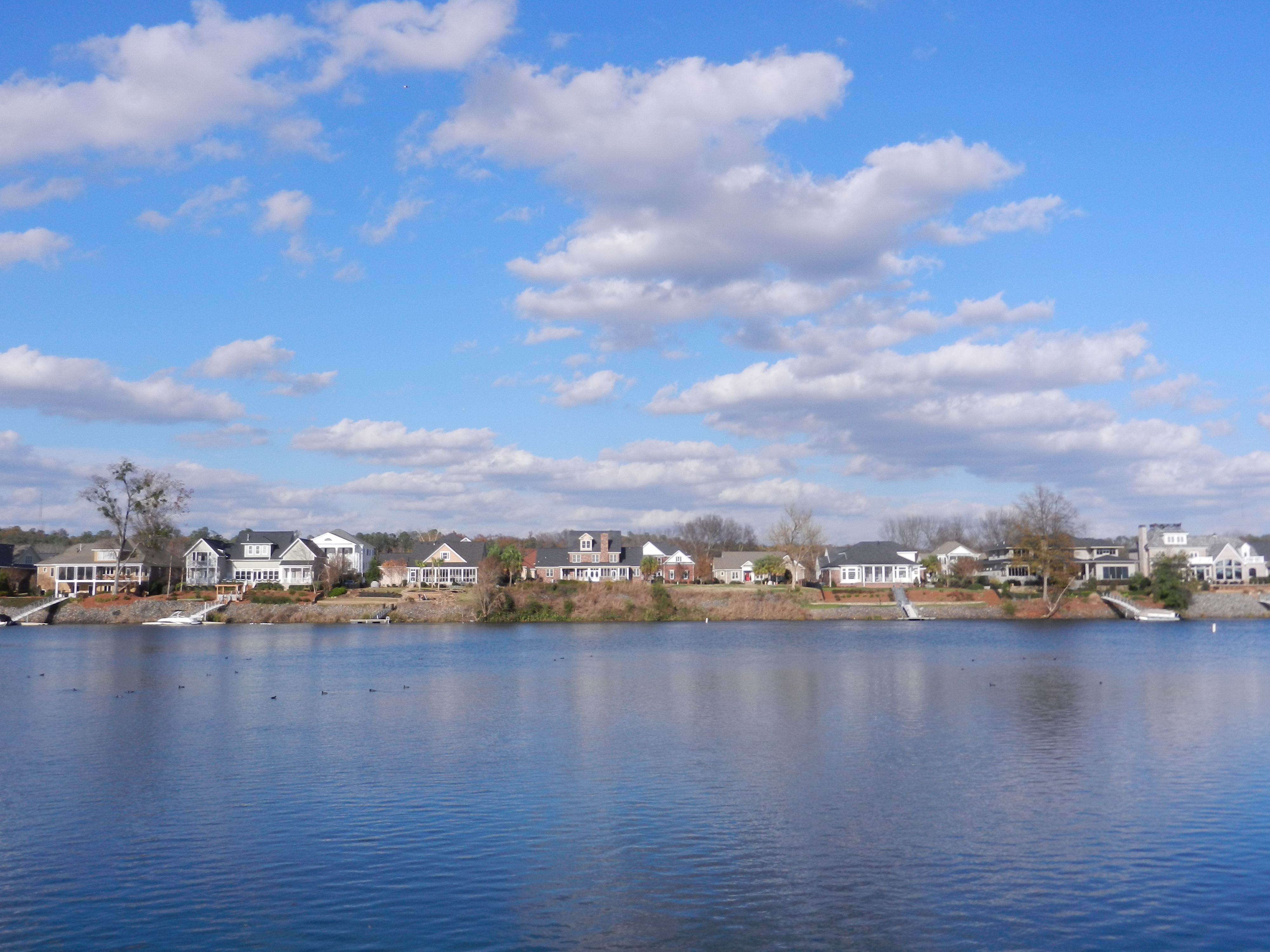
Savannah River
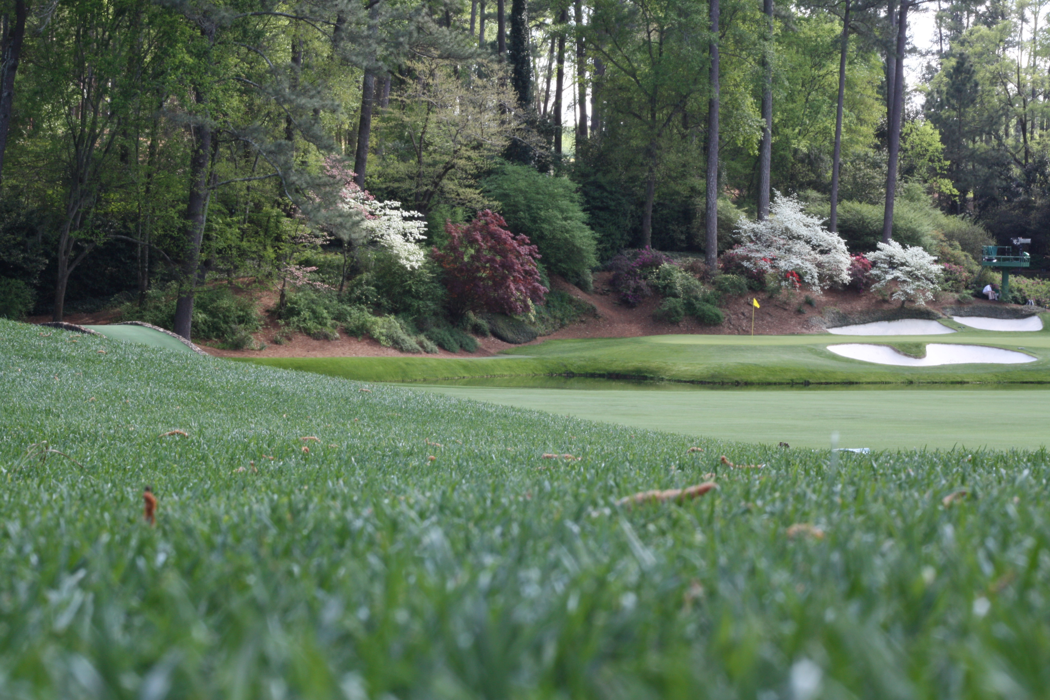
Ball view of 12th at Augusta National
Topographic Map of Augusta, GA, USA
Find elevation by address:

Places in Augusta, GA, USA:
Summerville
Downtown
Forest Hills
National Hills
Laney Walker
Industrial
Glenn Hills
Mcbean
Bennock Mill
Spanish Trace
Pepperidge
Goshen
Belair Hills
Meadowbrook
Brookwood
Harrisburg
Town And Country Park
South Turpin Hill
Spirit Pointe
Augusta-richmond County, Ga-sc
East Augusta
Southgate Dr, Augusta, GA, USA
Massoit Dr, Augusta, GA, USA
Winter St, Augusta, GA, USA
Kelly St, Augusta, GA, USA
Albemarle Ct, Augusta, GA, USA
Hiers Blvd, Hephzibah, GA, USA
London Blvd, Augusta, GA, USA
Winn Dr, Augusta, GA, USA
Galahad Way, Augusta, GA, USA
W Rd, Augusta, GA, USA
Ramsgate Rd, Augusta, GA, USA
Shady Ln, Hephzibah, GA, USA
Shallowford Cir, Augusta, GA, USA
Dunham Ct, Augusta, GA, USA
Young Forest Dr, Augusta, GA, USA
Amanda Tr, Augusta, GA, USA
Birdie Dr, Augusta, GA, USA
Stevens Creek Rd, Augusta, GA, USA
Flowing Wells Rd, Augusta, GA, USA
Mike Padgett Hwy, Augusta, GA, USA
Old Carmichael Rd, Augusta, GA, USA
Teak Ct, Augusta, GA, USA
Deans Bridge Rd, Hephzibah, GA, USA
Ridge Cliff Dr, Augusta, GA, USA
Crest Dr, Hephzibah, GA, USA
Elizabeth Dr, Augusta, GA, USA
Stevens Creek Rd, Augusta, GA, USA
Westside Dr, Augusta, GA, USA
Windsor Spring Rd, Hephzibah, GA, USA
42nd Street
Santa Maria Court
Augusta, GA, USA
Fort Gordon
Aumond Road
Mason Mcknight Junior Parkway
Pleasant Home Road
Dominion Court
Wheeler Road
Tobacco Road
Barnes Avenue
Sand Hills
Bristlecone Lane
Bristlecone Lane
Woodbluff
Forest Estates
West End
Waverly
Richmond Hill Road
Places near Augusta, GA, USA:
The Partridge Inn Augusta, Curio Collection By Hilton
1011 Hickman Rd
2132 Ansley Pl W
2101 Walton Way
2200 Walton Way
2230 Walton Way
Summerville
635 Gary St
523 Hickman Rd
1517 Johns Rd
2500 Walton Way
Sand Hills
Winter St, Augusta, GA, USA
2563 Central Ave
1300 Monte Sano Ave
2600 Walton Way
2600 Walton Way
1408 Glenn Ave
1400 Highland Ave
Hillcrest Avenue
Recent Searches:
- Elevation of Corso Fratelli Cairoli, 35, Macerata MC, Italy
- Elevation of Tallevast Rd, Sarasota, FL, USA
- Elevation of 4th St E, Sonoma, CA, USA
- Elevation of Black Hollow Rd, Pennsdale, PA, USA
- Elevation of Oakland Ave, Williamsport, PA, USA
- Elevation of Pedrógão Grande, Portugal
- Elevation of Klee Dr, Martinsburg, WV, USA
- Elevation of Via Roma, Pieranica CR, Italy
- Elevation of Tavkvetili Mountain, Georgia
- Elevation of Hartfords Bluff Cir, Mt Pleasant, SC, USA