Elevation of Auglaize Township, MO, USA
Location: United States > Missouri > Camden County >
Longitude: -92.499991
Latitude: 37.9096244
Elevation: 247m / 810feet
Barometric Pressure: 98KPa
Elevation Map:
Satellite Map:
Related Photos:
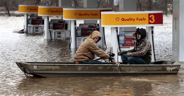
Day 220 Flooding in Missouri
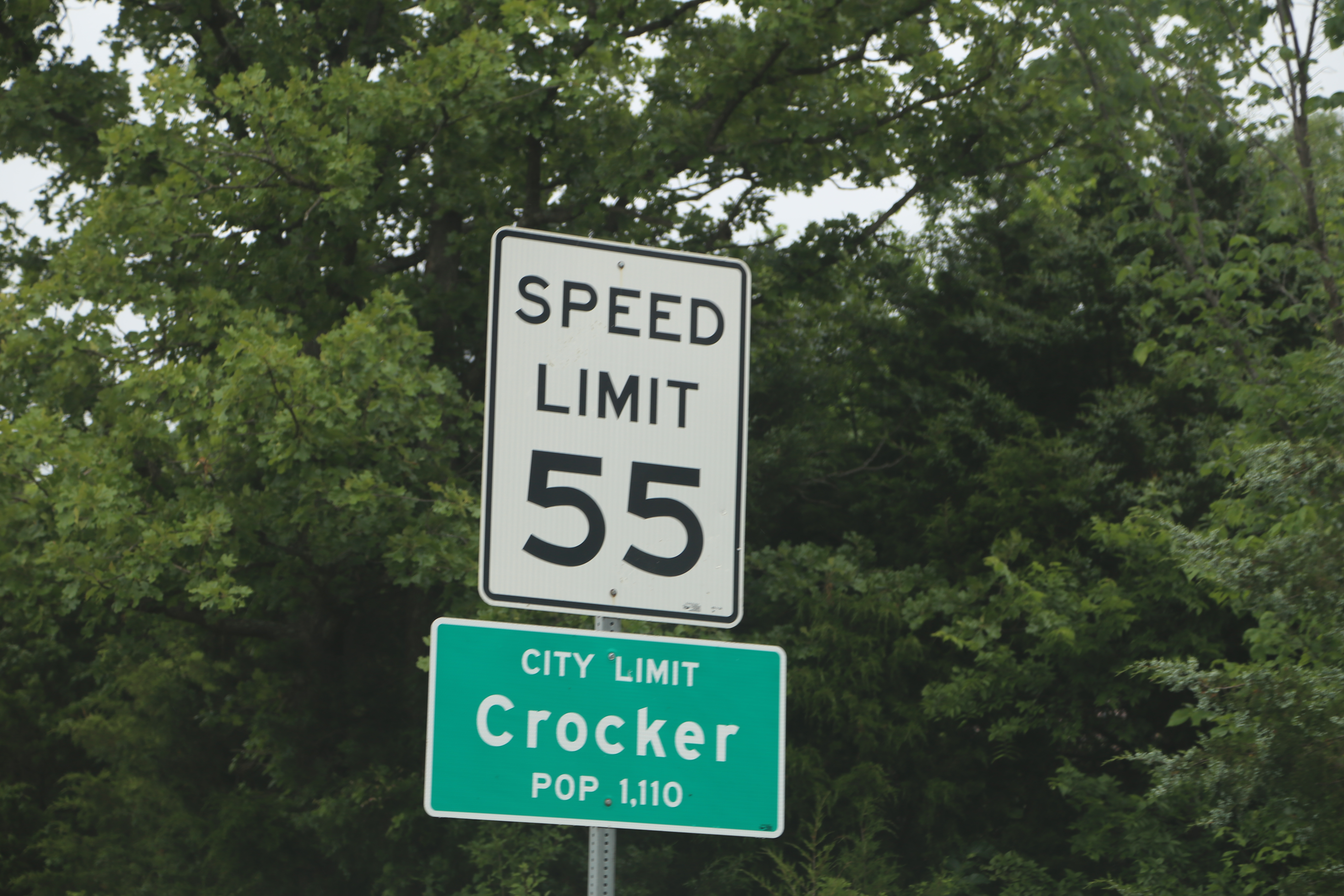
Crocker Missouri, Pulaski County MO
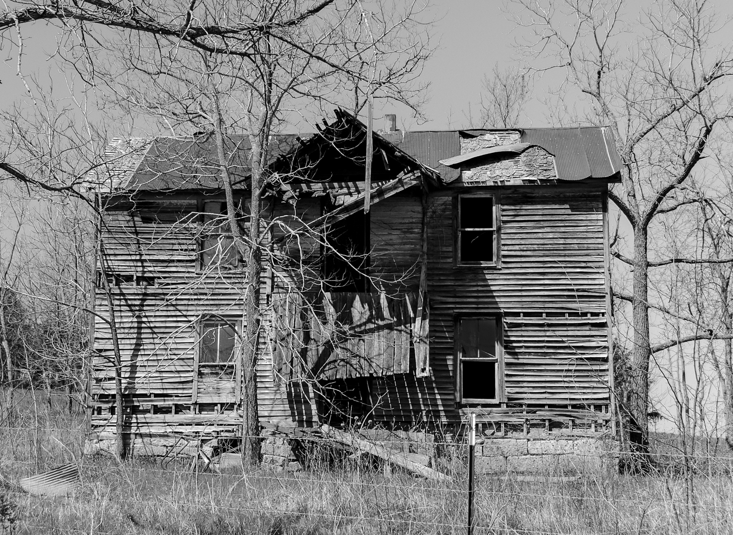
Nobody at Home
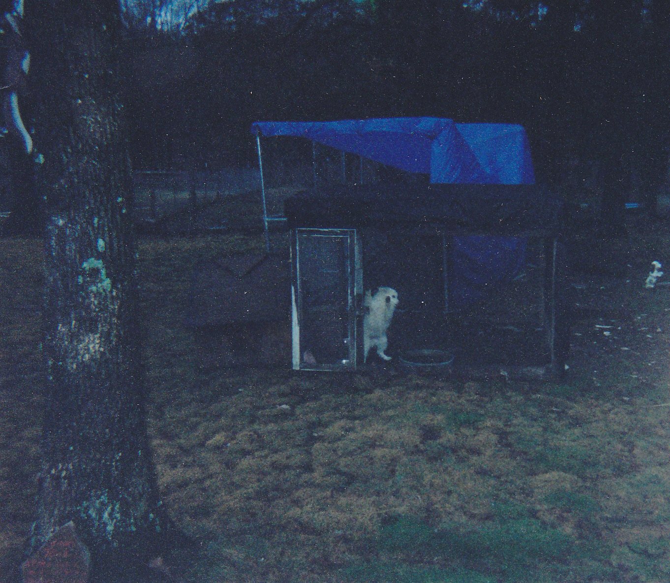
American Eskimo

Dustin Holmes

Dustin Holmes

Flowers in Richland

Persimmon in Stoutland
Passing Train
Passing Train
SLSF 1522 Swedeborg Mo

Cara And The Horses

Horses In Camden
4 Dec 06 013
Topographic Map of Auglaize Township, MO, USA
Find elevation by address:

Places in Auglaize Township, MO, USA:
Places near Auglaize Township, MO, USA:
3317 7 Springs Rd
Fairview Road
466 Spirit Ln
MO-7, Richland, MO, USA
Richland
205 N Pine St
May/smith Township
Hazelgreen Access
Hazelgreen
Heartwood Rd, Richland, MO, USA
Hazelgreen
Swedeborg
Auglaize Township
Liberty Township
185 Candlewood Dr
185 Candlewood Dr
Twisted Oak Drive
Rustler Ln, Richland, MO, USA
32078 Odessa Dr
Liberty Ln, Lebanon, MO, USA
Recent Searches:
- Elevation of Corso Fratelli Cairoli, 35, Macerata MC, Italy
- Elevation of Tallevast Rd, Sarasota, FL, USA
- Elevation of 4th St E, Sonoma, CA, USA
- Elevation of Black Hollow Rd, Pennsdale, PA, USA
- Elevation of Oakland Ave, Williamsport, PA, USA
- Elevation of Pedrógão Grande, Portugal
- Elevation of Klee Dr, Martinsburg, WV, USA
- Elevation of Via Roma, Pieranica CR, Italy
- Elevation of Tavkvetili Mountain, Georgia
- Elevation of Hartfords Bluff Cir, Mt Pleasant, SC, USA