Elevation of Atlanta, MI, USA
Location: United States > Michigan > Montmorency County > Avery Township >
Longitude: -84.143892
Latitude: 45.0047306
Elevation: 271m / 889feet
Barometric Pressure: 98KPa
Elevation Map:
Satellite Map:
Related Photos:

Pretty. And icy.

2004-10-02 Avery Lake

2004-10-02 Avery Lake

Anything Goes
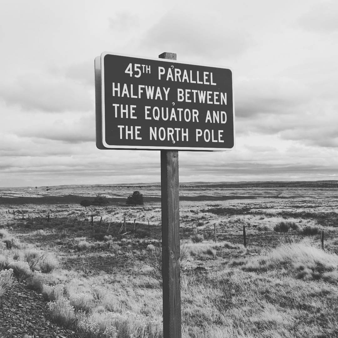
Halfway to the #northpole #santa #christmas #winter #elf

Into the light...
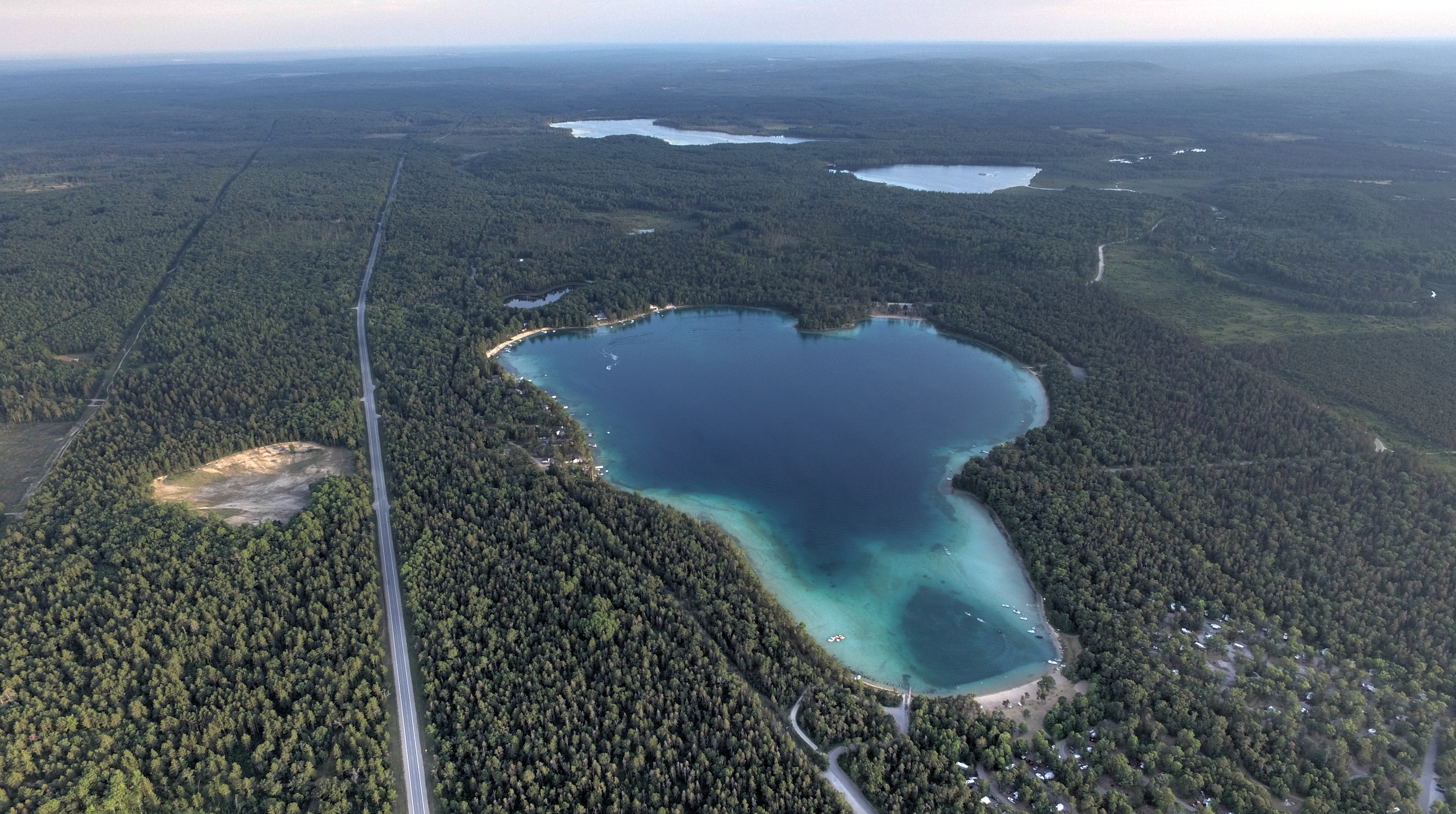
Clear Lake Clear Day

Clear Lake Sunset

Clear Lake Sunset 20150726

We Call Home

Clear Lake Clear Day

Clear Lake Sunset

Sno*Drift

Sno*Drift

Sno*Drift

Sno*Drift

Sno*Drift

Sno*Drift

Sno*Drift

Sno*Drift

Sno*Drift

Sno*Drift

Sno*Drift

Sno*Drift

Sno*Drift
Topographic Map of Atlanta, MI, USA
Find elevation by address:

Places near Atlanta, MI, USA:
12111 Reiman Rd
12111 Reiman Rd
12111 Reiman Rd
10875 River Dr
Briley
Montmorency County
North Rod And Gun Road
Hillman Township
18343 Valerie Dr
Hillman
Case Township
Main St, Millersburg, MI, USA
Millersburg
4624 S Black River Rd
Lachine
4210 M-65
Long Rapids Township
4649 Bean Creek Rd
Silver Beach Rd, Onaway, MI, USA
Black Lake
Recent Searches:
- Elevation of Corso Fratelli Cairoli, 35, Macerata MC, Italy
- Elevation of Tallevast Rd, Sarasota, FL, USA
- Elevation of 4th St E, Sonoma, CA, USA
- Elevation of Black Hollow Rd, Pennsdale, PA, USA
- Elevation of Oakland Ave, Williamsport, PA, USA
- Elevation of Pedrógão Grande, Portugal
- Elevation of Klee Dr, Martinsburg, WV, USA
- Elevation of Via Roma, Pieranica CR, Italy
- Elevation of Tavkvetili Mountain, Georgia
- Elevation of Hartfords Bluff Cir, Mt Pleasant, SC, USA