Elevation of Ashgabat, Turkmenistan
Location: Turkmenistan >
Longitude: 58.3260629
Latitude: 37.9600766
Elevation: 230m / 755feet
Barometric Pressure: 99KPa
Elevation Map:
Satellite Map:
Related Photos:
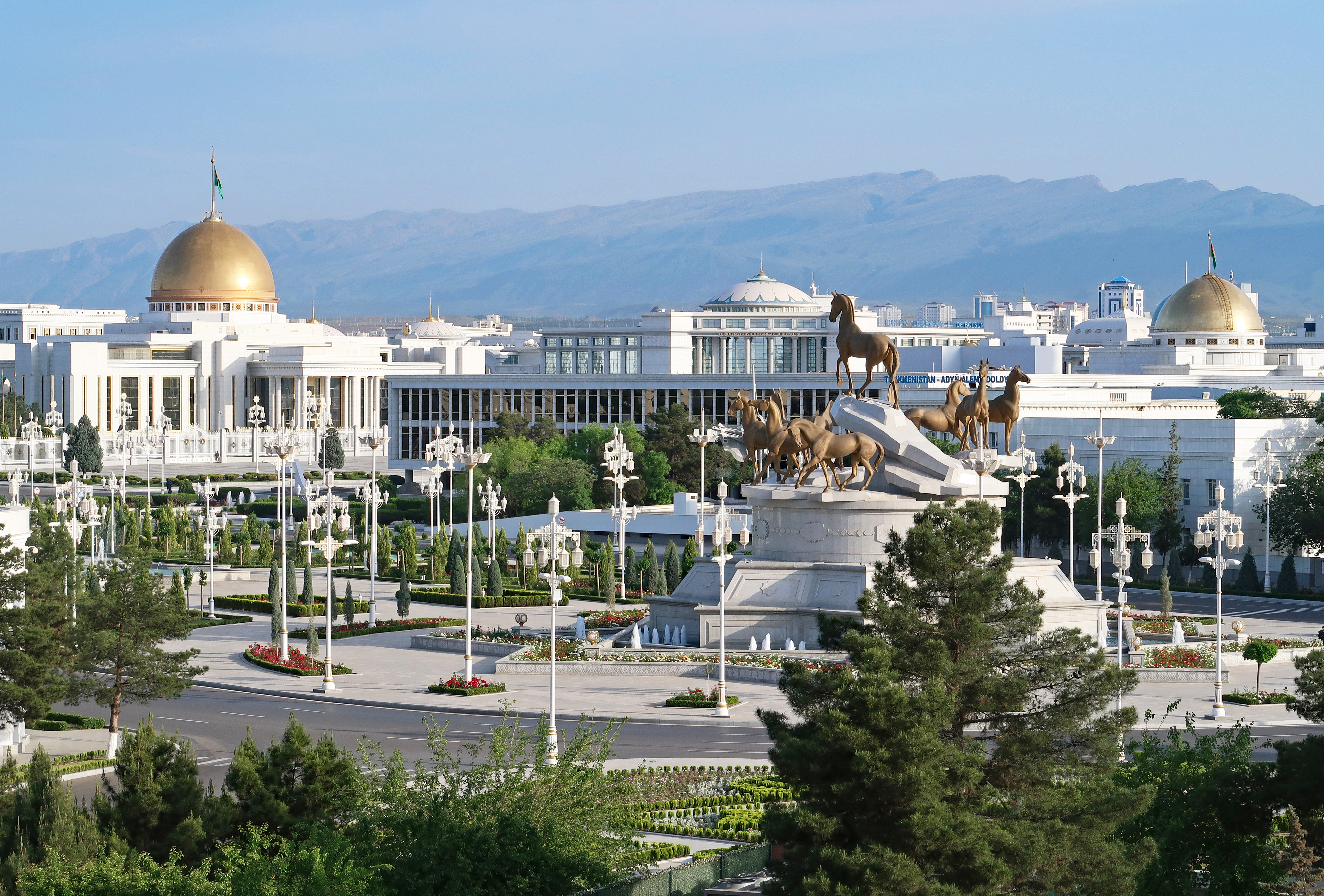
View of Ashgabat from Arch of Neutrality
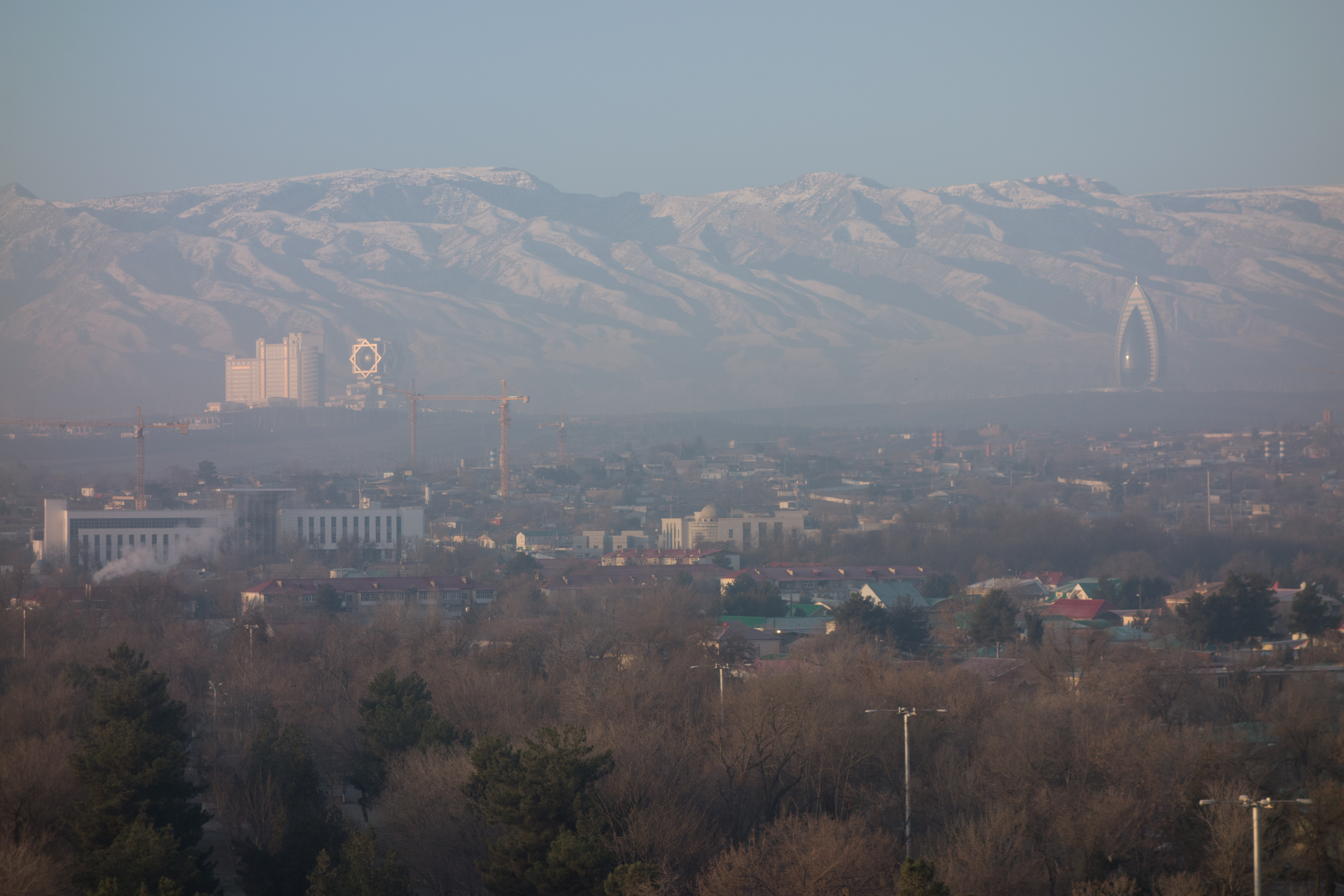
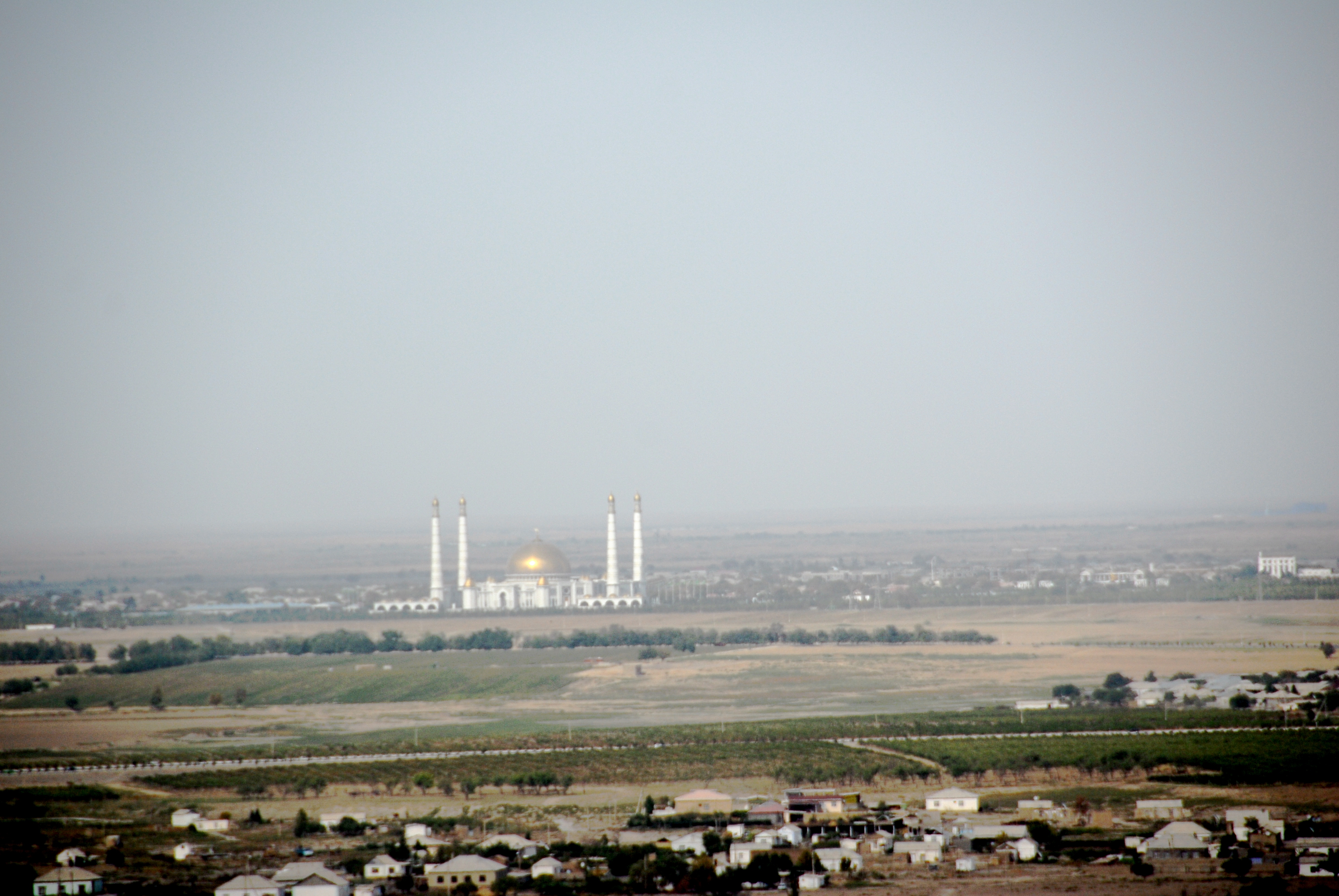
View of Ashgabat
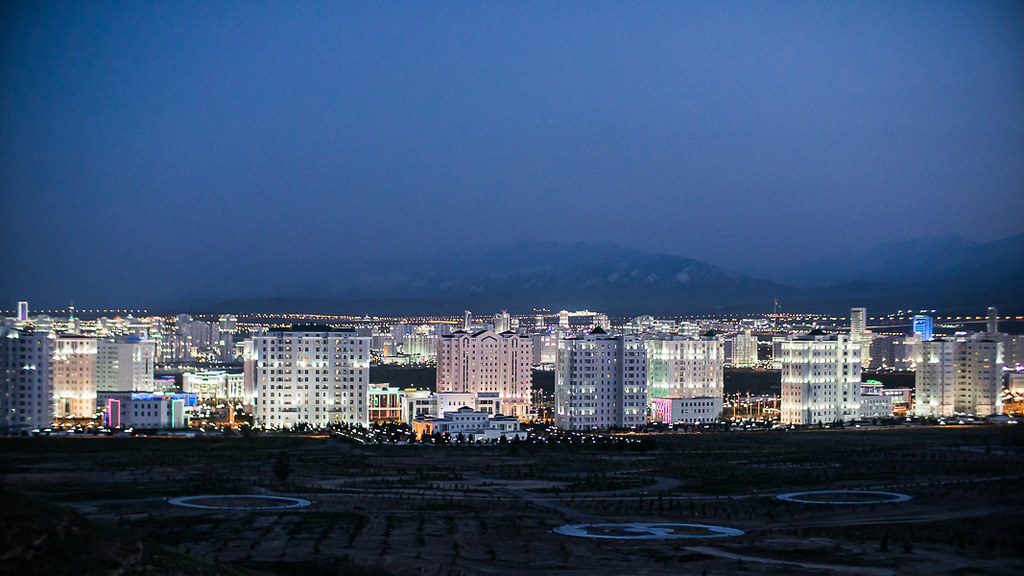
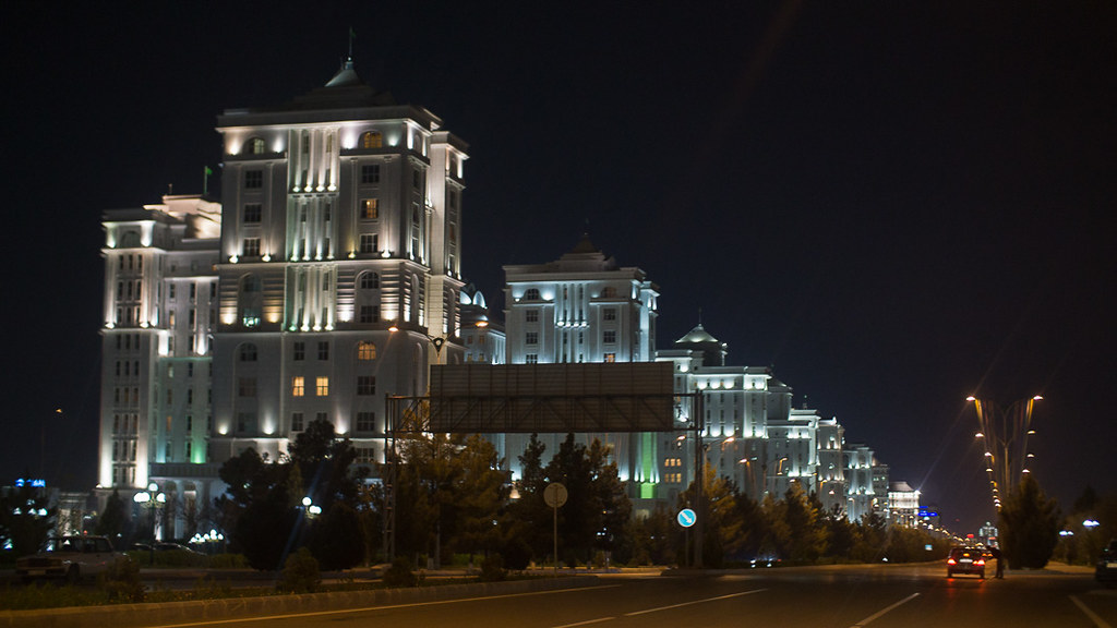
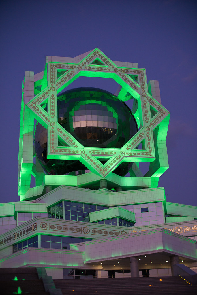
Ashgabat Night View
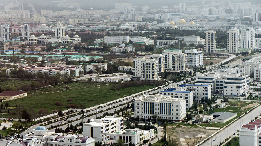
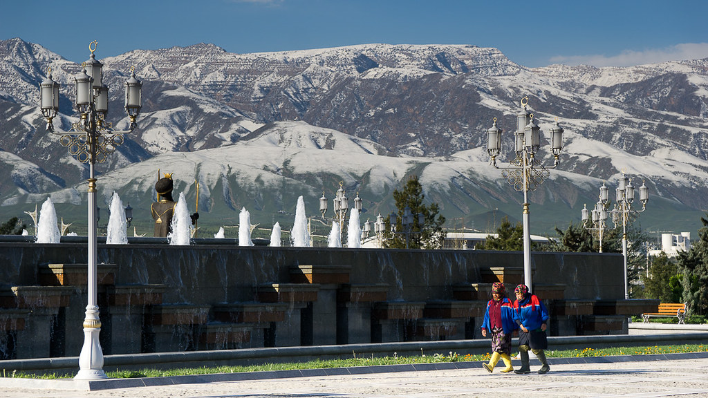
The Cityscape of Ashgabat
The Cityscape of Ashgabat
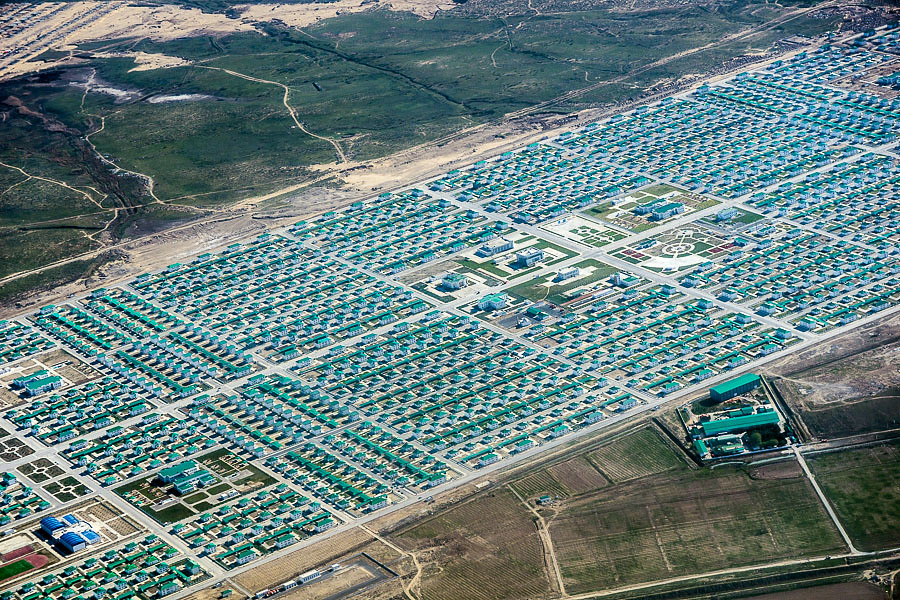
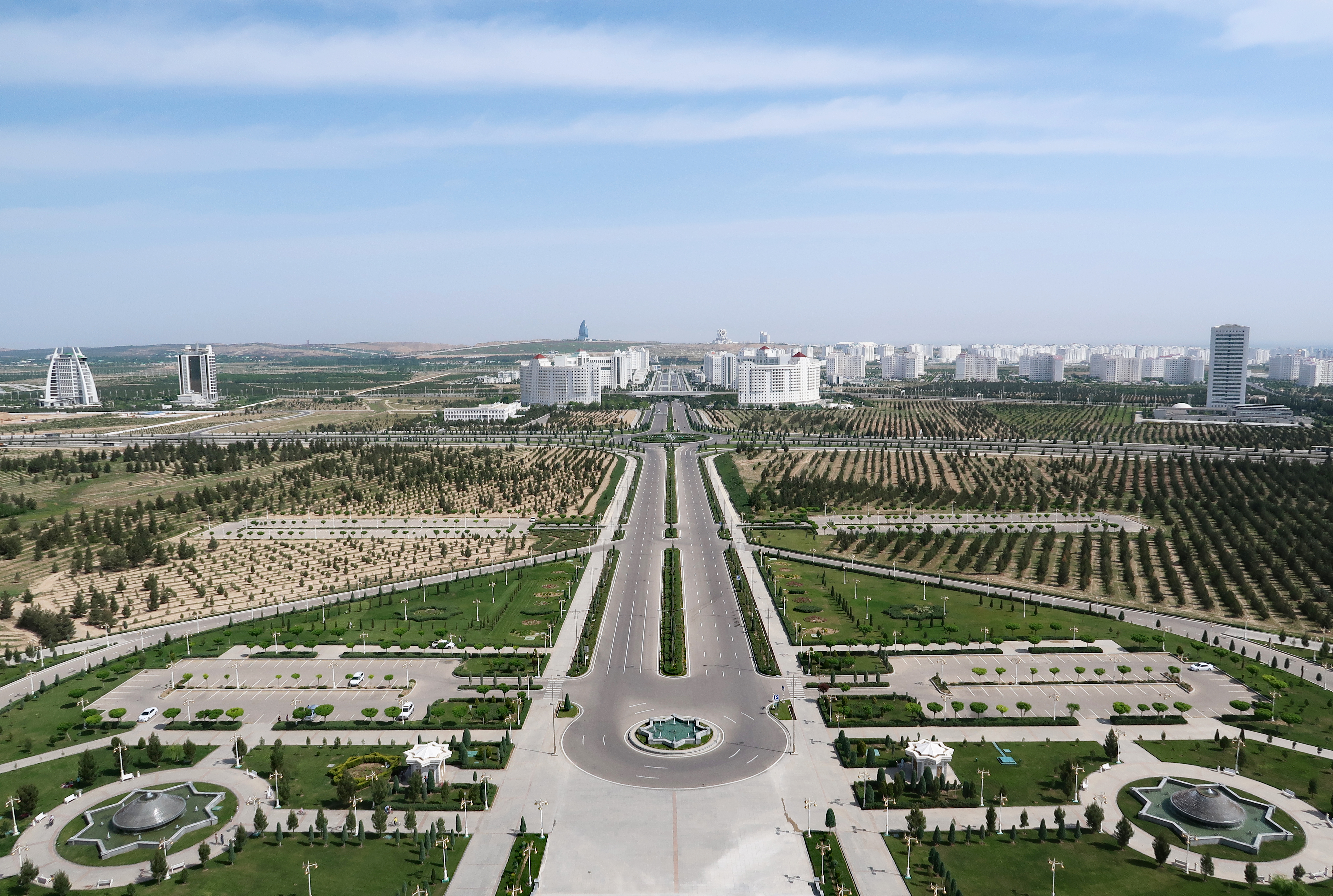
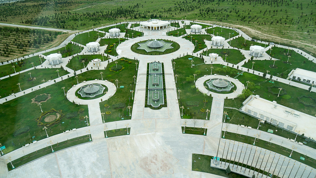
Aerial View of Ashgabat
Aerial View of Ashgabat

Aerial View of Ashgabat
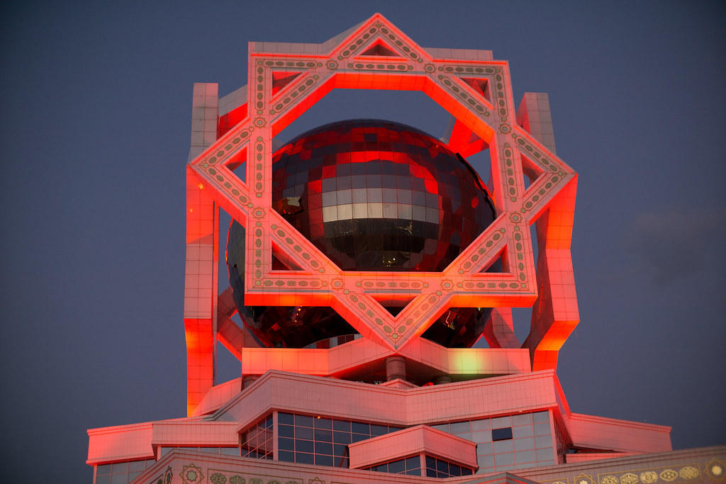
Ashgabat Cityscape

Turkmenistan .
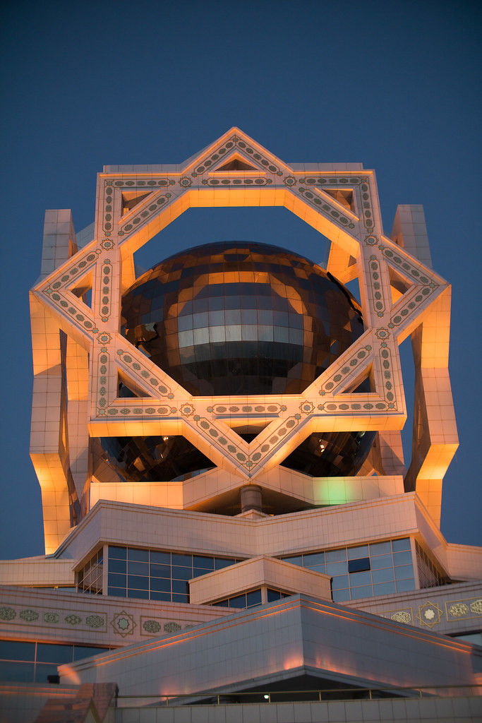
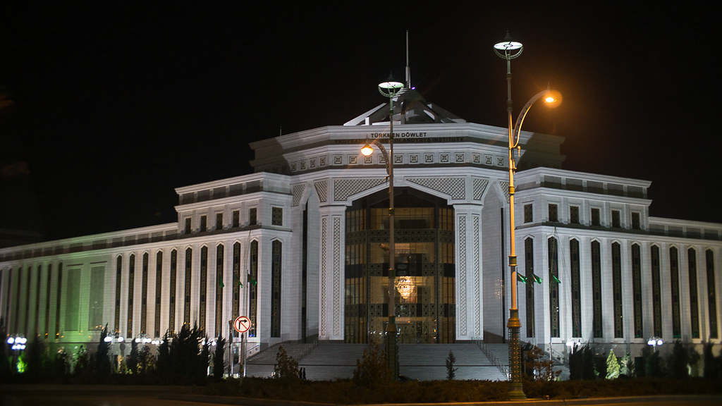
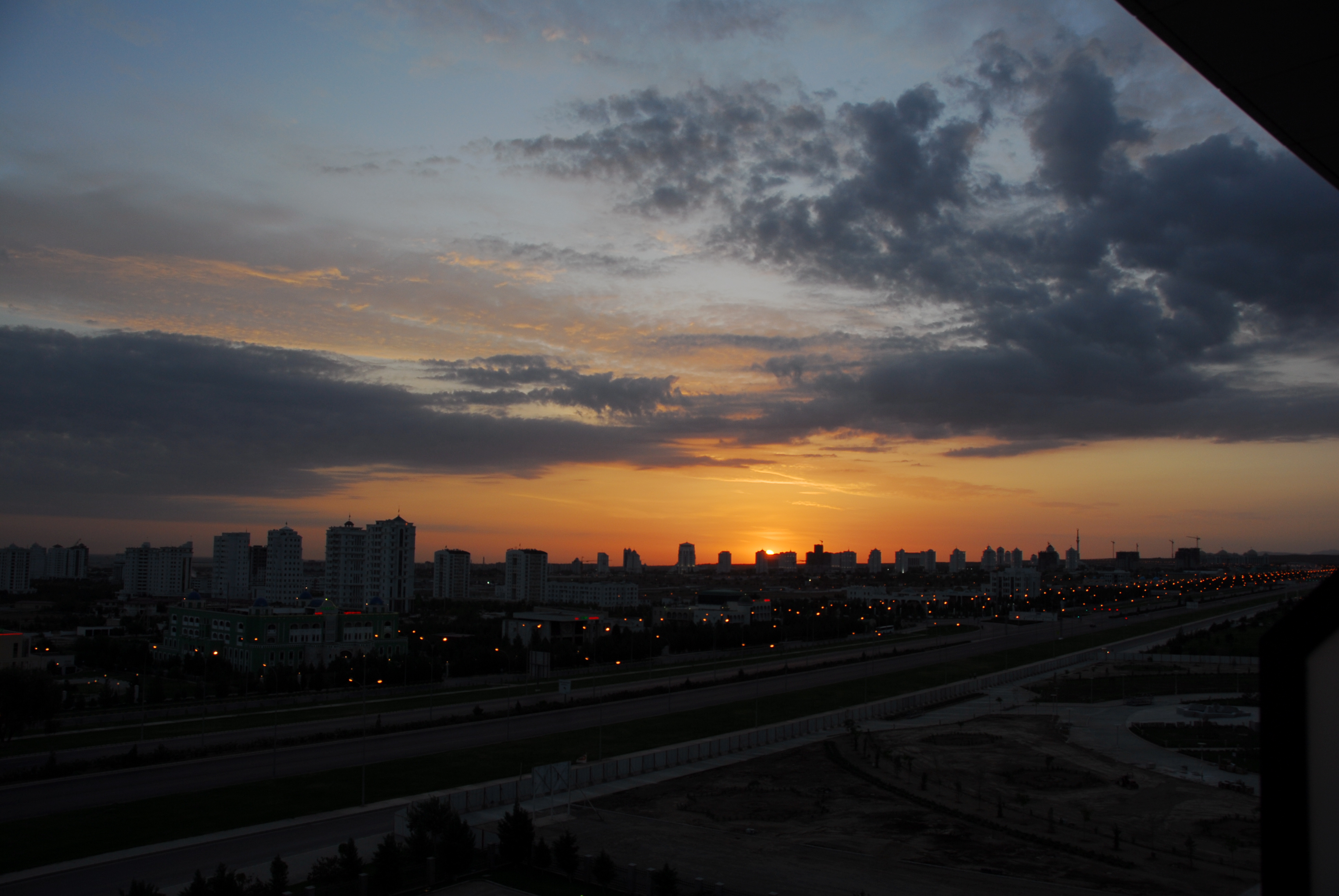
Ashgabat Night View

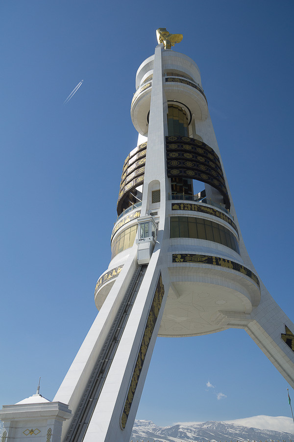
View from the Tower of Power, Ashgabat
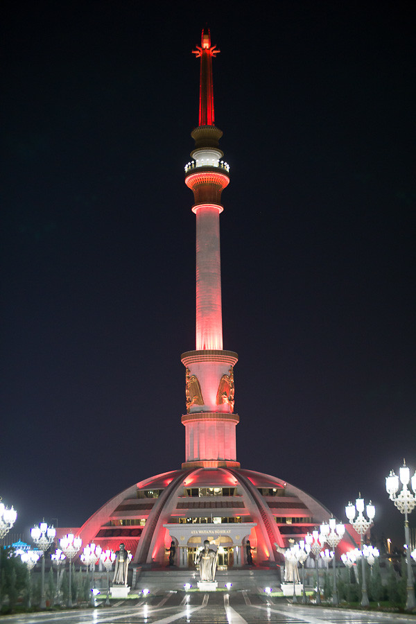
Ashgabat Night View

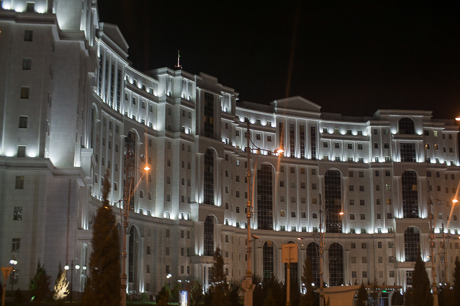
Ashgabat Night View
Ashgabat Night View
Ashgabat Night View
The Cityscape of Ashgabat

Ashgabat Night View
The Cityscape of Ashgabat

Ashgabat Night View

Ashgabat Night View
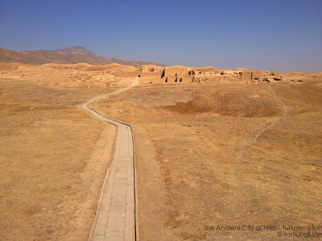
Nisa, Turkmenistan
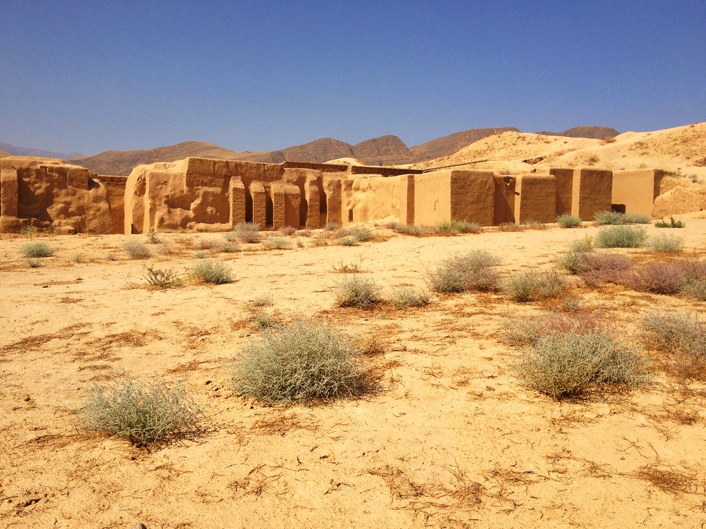
Rebuilt Sections of the Ancient Parthian city of Nisa

Rebuilt Sections of the Ancient Parthian city of Nisa

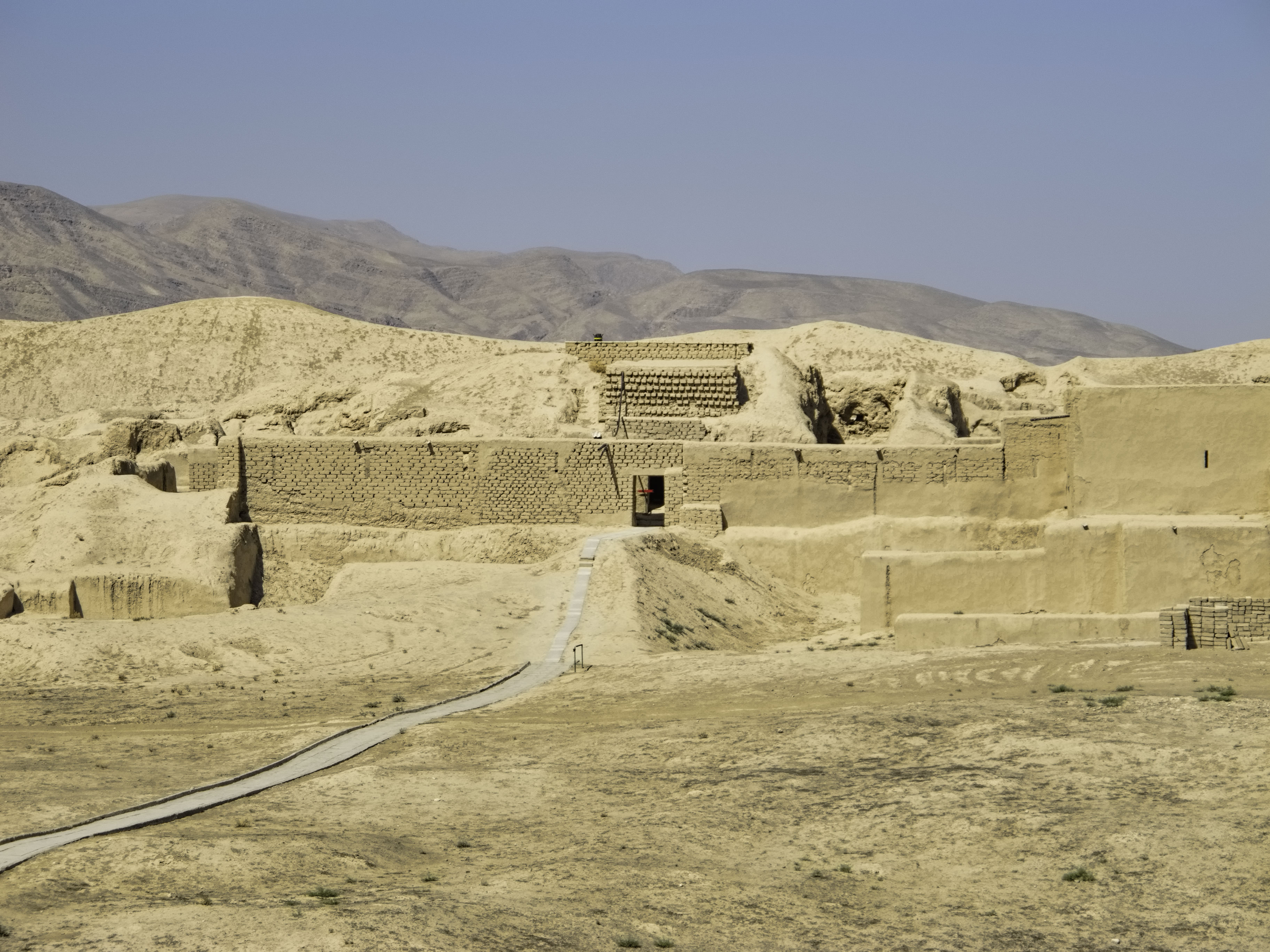
The Outer Walls of the Ancient Parthian City of Nisa
The Ancient Parthian Ruins of Nisa outside of the modern village of Bagyr, Ashgabat, Turkmenistan
20140925_Turkmenistan_0126 Nisa

Aşgabat

IMG_5487 IMG_4489

Nisa archaeological site, near Asgabat, Turkmenistan
Ashgabat Karli Sabah
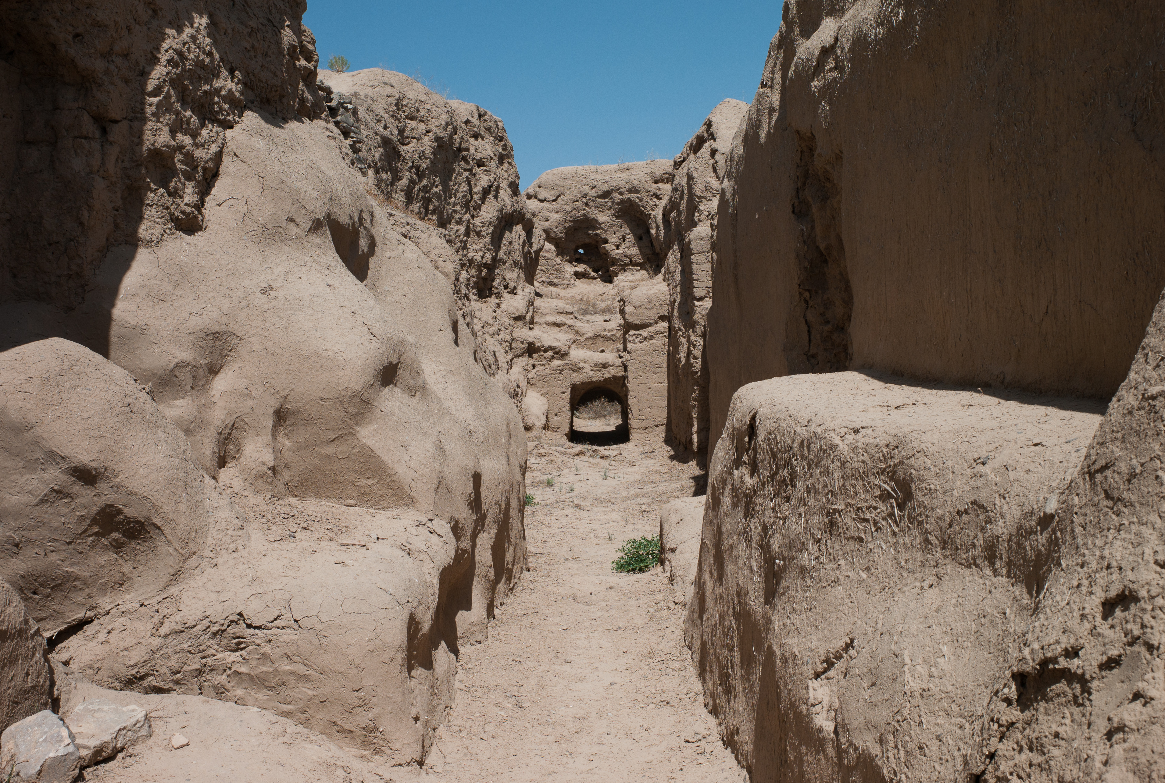
Nisa archaeological site, near Asgabat, Turkmenistan

stans08-055
stans08-097

Nisa archaeological site, near Asgabat, Turkmenistan
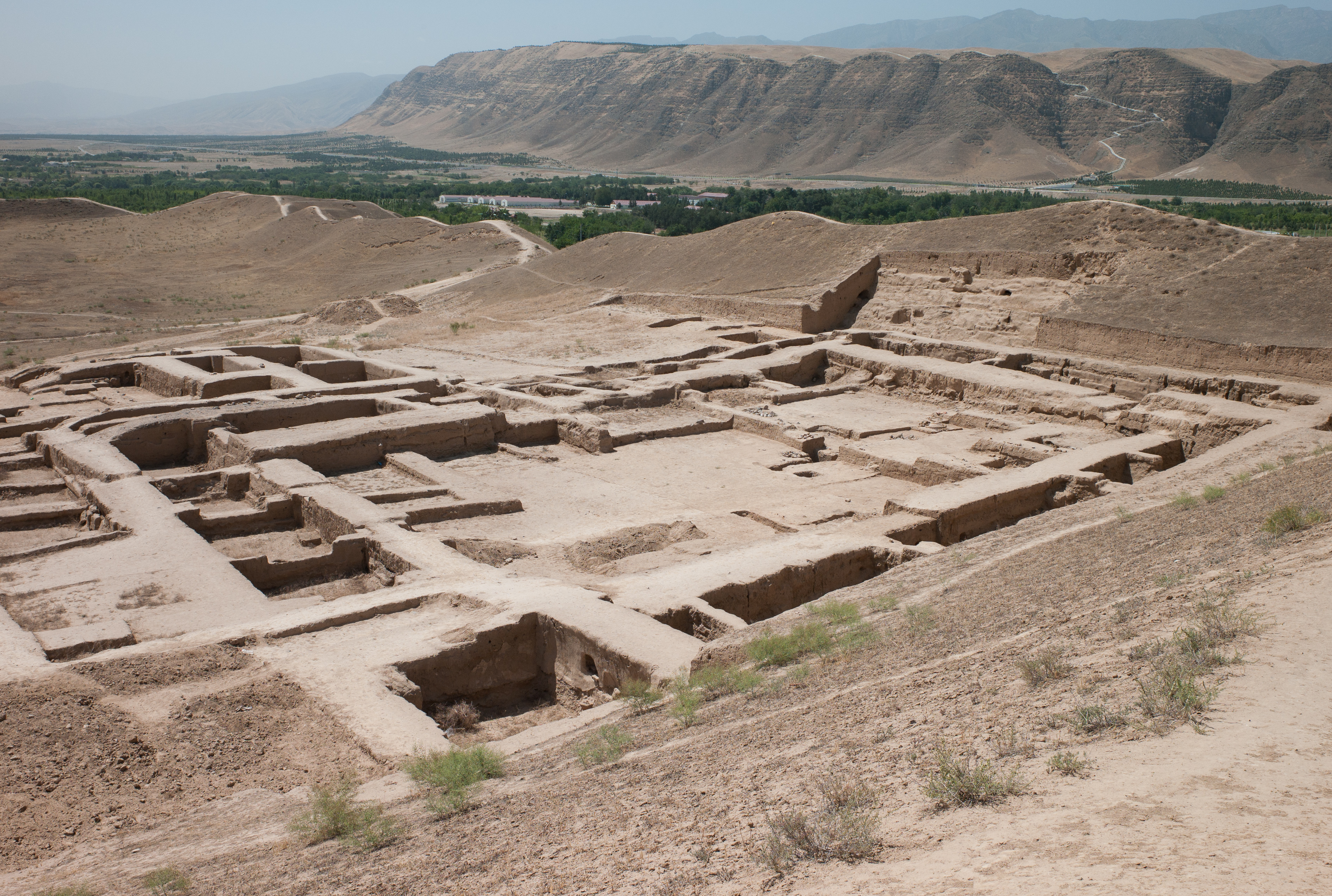
Nisa archaeological site, near Asgabat, Turkmenistan
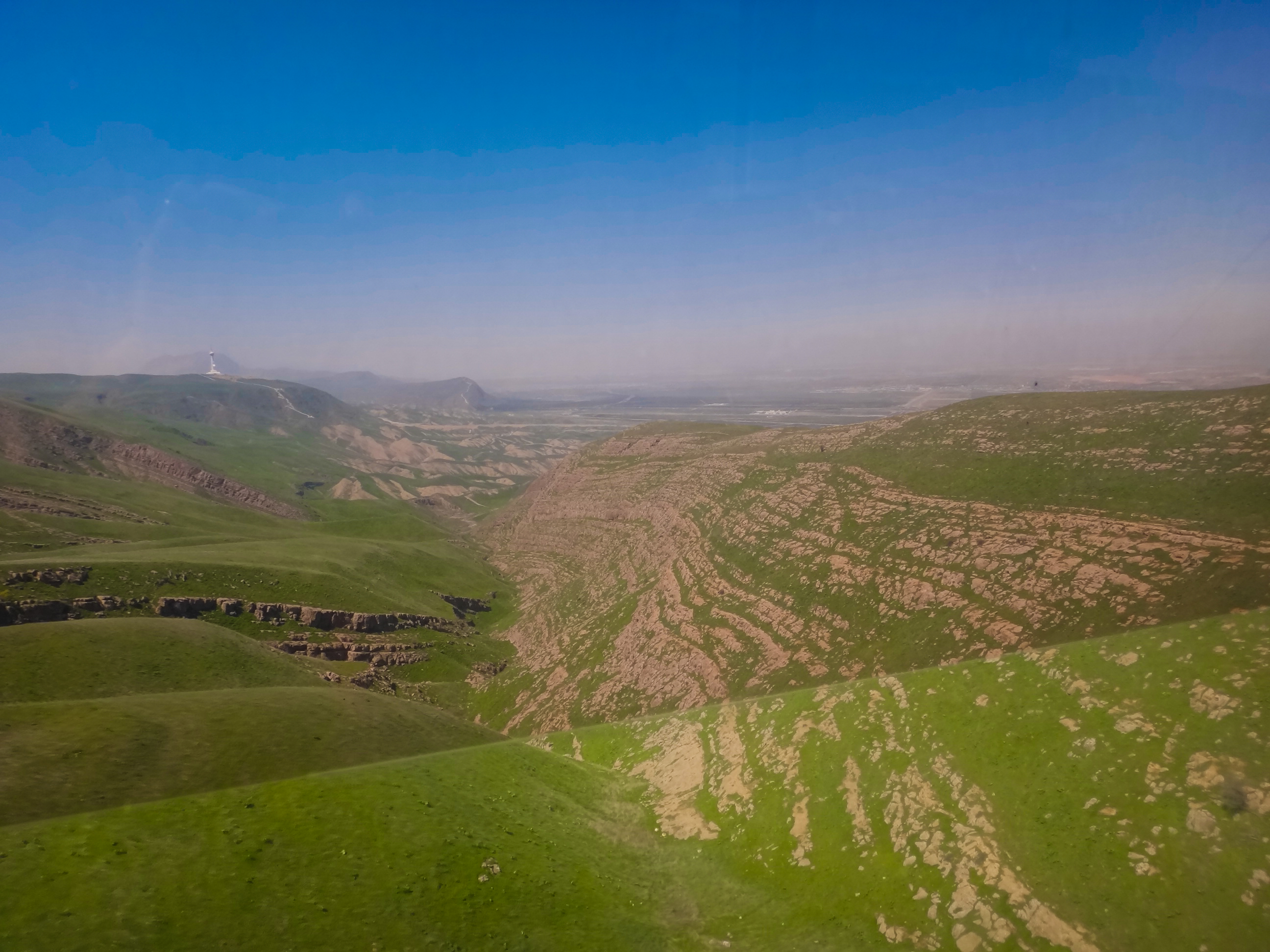
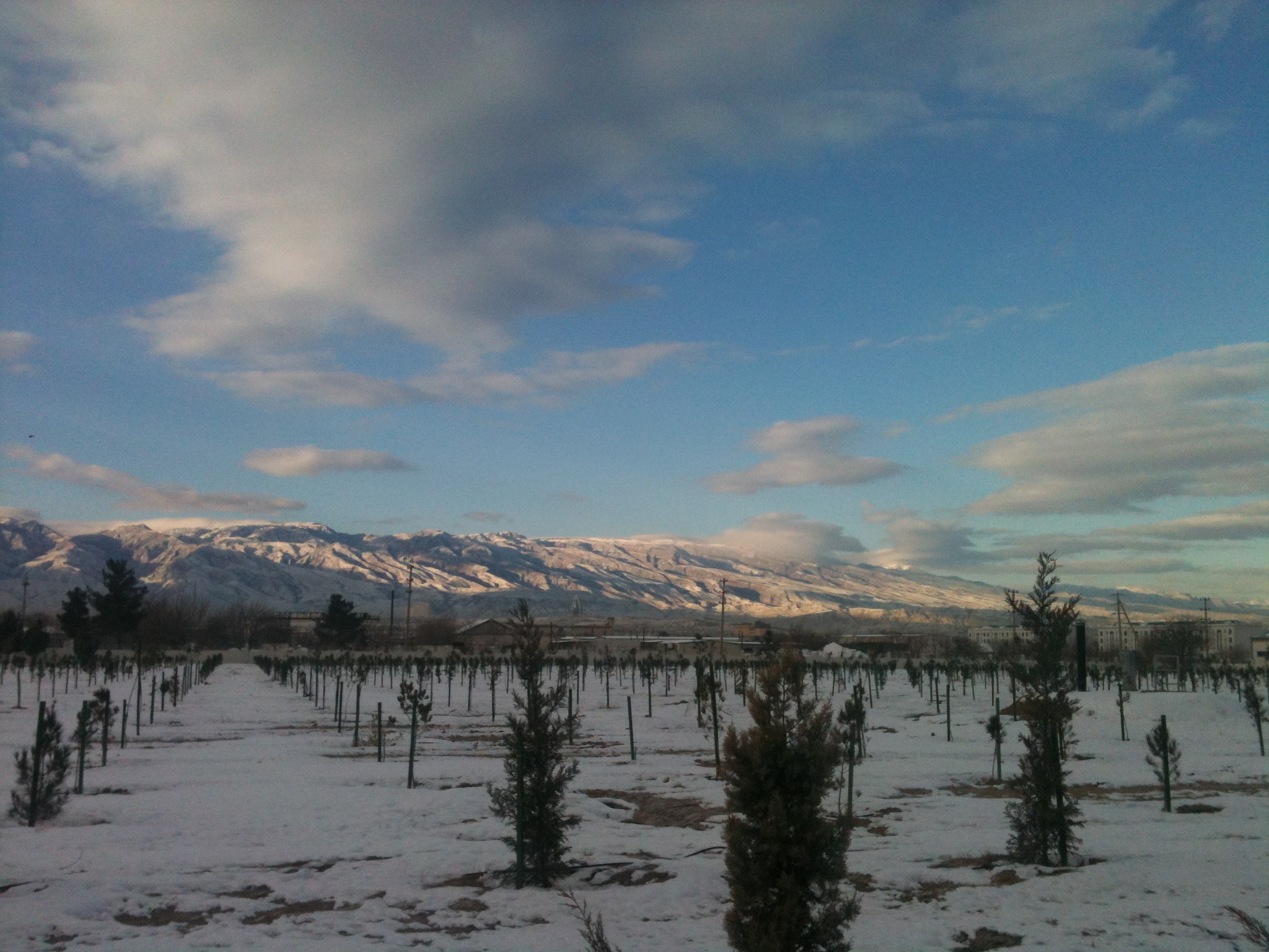
Kopet Dag foothills 2
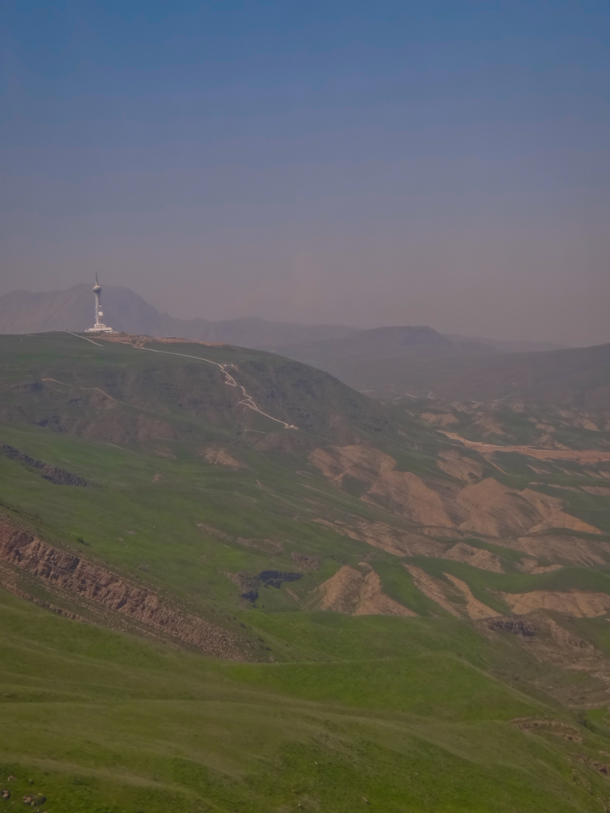
Kopet Dag foothills 1
Ashgabat Cityscape - Streets
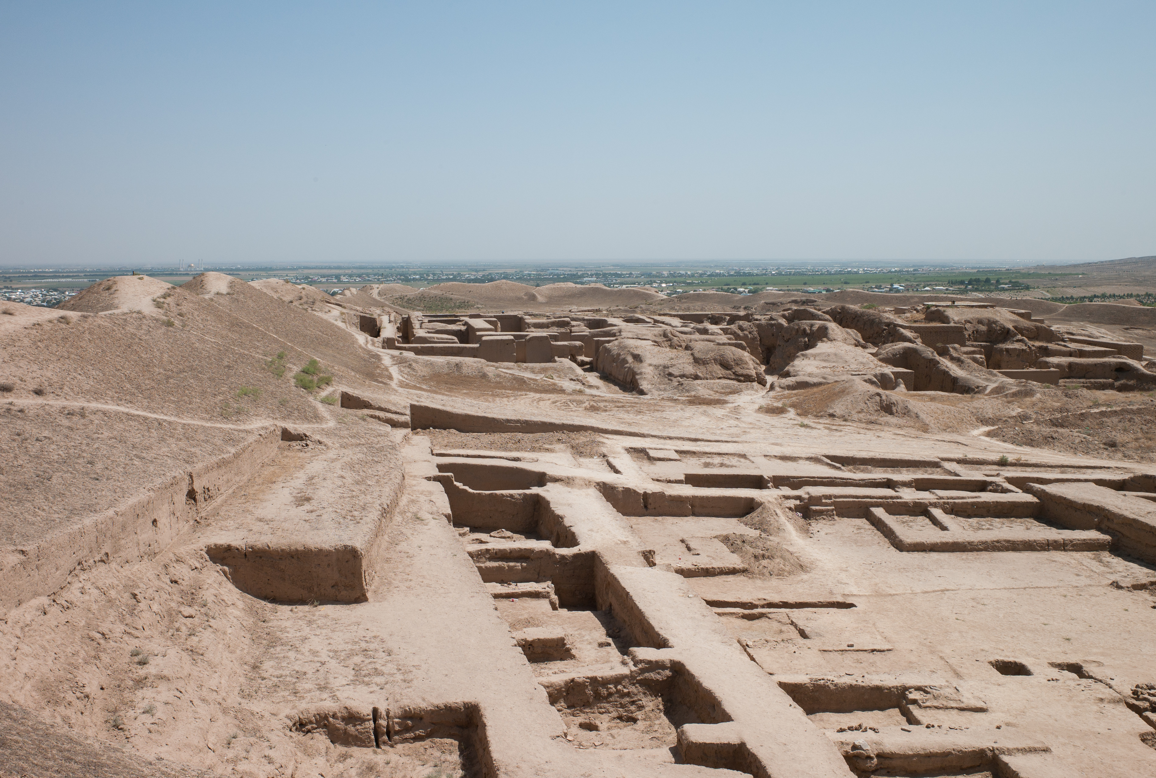
Nisa archaeological site, near Asgabat, Turkmenistan
Aşgabat, Ashgabat, Türkmenistan
stans08-089
Topographic Map of Ashgabat, Turkmenistan
Find elevation by address:

Places near Ashgabat, Turkmenistan:
Recent Searches:
- Elevation of Corso Fratelli Cairoli, 35, Macerata MC, Italy
- Elevation of Tallevast Rd, Sarasota, FL, USA
- Elevation of 4th St E, Sonoma, CA, USA
- Elevation of Black Hollow Rd, Pennsdale, PA, USA
- Elevation of Oakland Ave, Williamsport, PA, USA
- Elevation of Pedrógão Grande, Portugal
- Elevation of Klee Dr, Martinsburg, WV, USA
- Elevation of Via Roma, Pieranica CR, Italy
- Elevation of Tavkvetili Mountain, Georgia
- Elevation of Hartfords Bluff Cir, Mt Pleasant, SC, USA