Elevation of Ashburn, VA, USA

Location: United States > Virginia > Loudoun County > Dulles > Ashburn >

Longitude: -77.527546

Latitude: 39.0118703

Elevation: 99m / 325feet

Barometric Pressure: 100KPa

Elevation Map:

elevation map of Ashburn, VA, USA

Satellite Map:

Satellite map of Ashburn, VA, USA

Related Photos:

america usa us unitedstates northamerica virginia winterstormgail nor’easter december 2020 ice sleet snow tree branch winter frozen street neighborhood night photography nikon z7 mirrorless nikkor captureone
Front Door Nor'easter
potomacriver white’sferry maryland virginia america usa us unitedstates northamerica landscape paysage paisaje paesaggio landschaft horizon river crossing water ripple wave nature tree foliage leaves branches sky cloud sunrise light sunlight sunshine shadow 1786 history historical ferry boat ramp nikon d7200 nikkor ndfilter leefilter captureone explore
Last of 100
unitedstatesofamerica mwaa iad kiad washington dulles international airport atct air traffic control tower metropolitan airports authority panoramic from top faa federal aviation administration controller new areal arieal ariel arial photo pano panorama amazing view autopano giga pro gigapixel stitch autostitch auto stitched
Airport Photography (EXPLORED)
ashburn va unitedstates panorama view wet lands loudoun county bles park parc virginia northern pano panoramic lake pond water wetlands wetland landscape paysage
Panorama view of the Wet Lands at Loudoun County Bles Park Ashburn VA
sterling va unitedstates virginia loudoun county us usa america park parc water river riverbank shoreline tree trees paysage vista treeline pano panorama panoramic
Panorama view of the Potomac River from Algonkian Regional Park - Sterling VA
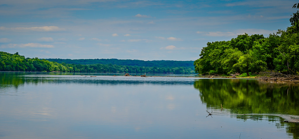
virginia leesburg potomacriver redrockwildernessoverlookregionalpark
Potomac River
poolesville maryland unitedstatesofamerica aerial view potomac river upon approach iad washington dulles airport chantilly va montgomery county landscape paysage water branch virginia trees treetop park green forest island islands
Aerial view of Potomac River upon approach of IAD - Washington Dulles Airport Chantilly VA
sterling virginia unitedstates early autumn view tree lined riverbank along potomac river algonkian regional park va loudoun county us usa america parc water shoreline trees paysage vista treeline maryland fall colors colours
Early autumn view of tree lined riverbank along the Potomac River - Algonkian Regional Park - Sterling VA
ashburn va unitedstates panoramic view potomac river loudoun county bles park parc virginia northern pano panorama water tree trees broad run creek stream branch
Panoramic view of the Potomac River and Broad Run confluence at Loudoun County Bles Park Ashburn VA
udvarhazy aviation museum smithsonian washingtondc airplane hangar air space flight skunkworks darpa stealth jet black sleek long powerful supersonic lockheed aircraft sr71 blackbird titanium sr71blackbird military spy reconnaissance intercontinental travel tourism sonya7iii a7iii a7m3
SR-71 Blackbird rear view
Nassau Republic of Pirates, 1715
sterling va unitedstates panoramic view very calm potomac river algonkian regional park us usa america american virginia northern parc jardens loudoun county lc nova pano vista panorama water tree trees shoreline clouds reflection reflections
Panoramic view of a very calm Potomac River at Algonkian Regional Park - Sterling VA
world pictures sky sun building slr clouds photoshop magazine landscape virginia site interestingness interesting fantastic state sony landmark historic explore tavern flare alpha 35 winners hdr smashing a100 2007 sunflare lightroom dranesville photomatix fivestars photomatixpro 7xp sonyalpha dslra100 sonyalpha100 sonydslra100 ideasplayground diamondclassphotographer flickrdiamond smashingmagazine thegoldeningot dranesvilletavern photoshoproyalty explorewinnersoftheworld 35fantastichdr
Dranesville Tavern
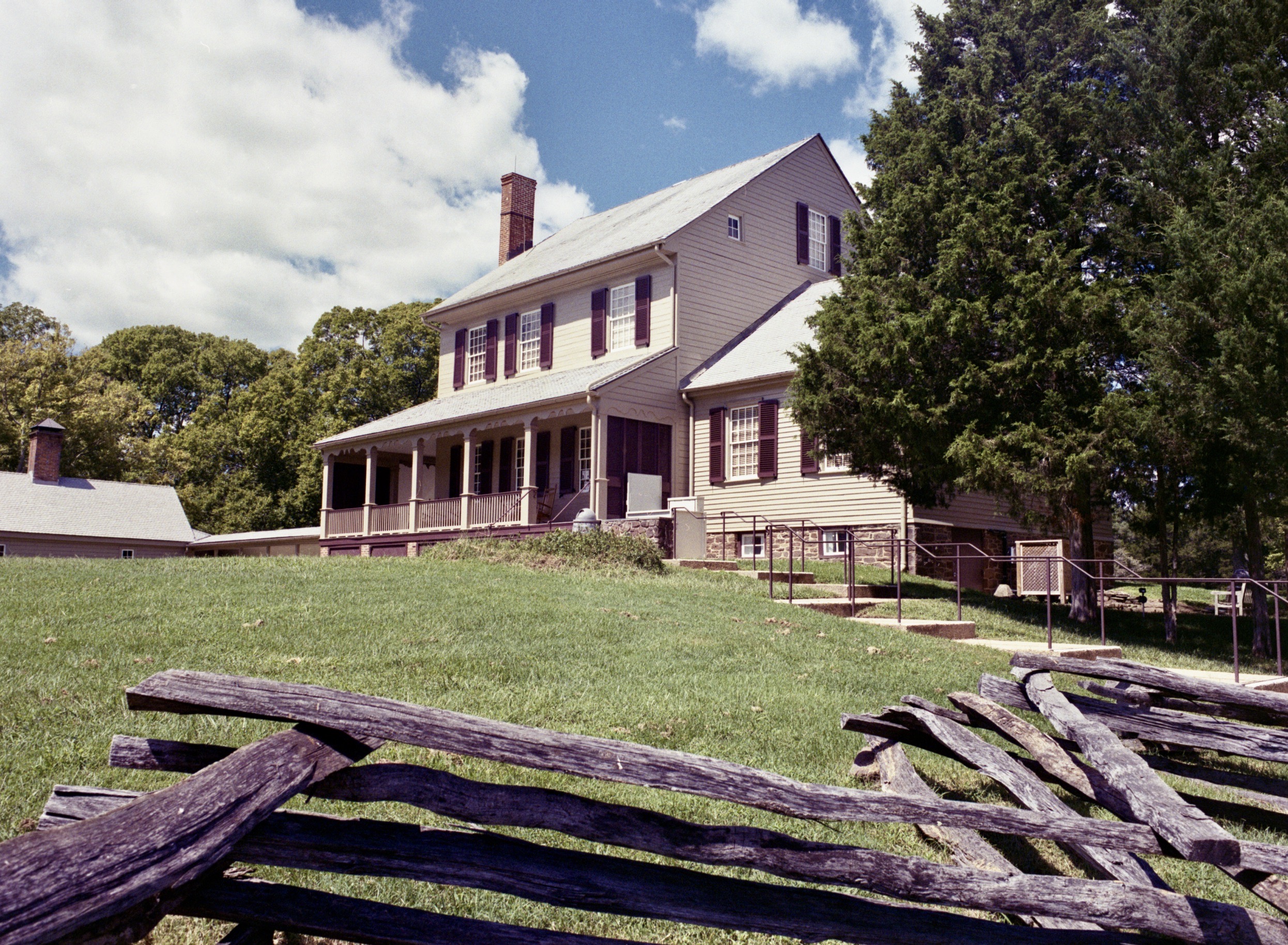
Main House and fence
leesburg virginia unitedstatesofamerica panorama view river creek golf club along potomac va water pond lake american flag flagge us usa pano panoramic rivercreek course loudoun county lc
Panorama view of River Creek Golf Club along the Potomac River - Leesburg VA
chantillyvirginia museum smithsonian smithsonianmuseum nationalairandspacemuseum historicaircraft airplanes rockets stevenfudvarhazycenter panorama chantilly va unitedstates
Hellcat above
japan plane airplane japanese virginia smithsonian dulles fighter unitedstates martin aircraft massachusetts hurricane hiroshima worldwarii va somerville cherryblossom moonlight irving boeing fairfax bomber kamikaze nationalairandspacemuseum raf hawker nakajima atomicbomb dullesairport chantilly enolagay airandspacemuseum gekko worldwartwo udvarhazy b29 superfortress smithsonianinstitution nuclearweapon stevenfudvarhazycenter hawkerhurricane royalairforce stevenfudvarhazy eyefi b2945mo b29superfortress nakajimaj1n1s yokosukamxy7ohka exif:exposure_bias=0ev exif:exposure=0025sec140 exif:iso_speed=800 exif:focal_length=18mm exif:aperture=f35 j1n1 kugishomxy7ohka camera:make=nikoncorporation mxy7ohka exif:flash=offdidnotfire nakajimahikoki camera:model=nikond7000 nakajimaj1n flickrstats:favorites=1 kugishomxy7ohkacherryblossom22 kawasakiki45 aichim6a exif:orientation=horizontalnormal exif:vari_program=autoflashoff exif:lens=18200mmf3556 exif:filename=dsc0014jpg exif:shutter_count=11529 meta:exif=1350345649
Steven F. Udvar-Hazy Center: View over World War Two aviation wing, including Japanese planes and B-29 Enola Gay
canon dslr eos hdr hdri spiegelreflexkamera slr monochrom monochrome monochromephotography smithsonianinstitution smithsonian washingtondc usa
Chantilly VA - Steven F. Udvar-Hazy Center - Mikoyan-Gurevich MiG-21 03
chantillyvirginia museum smithsonian smithsonianmuseum nationalairandspacemuseum historicaircraft airplanes rockets stevenfudvarhazycenter panorama chantilly va unitedstates
Enola Gay
japan plane airplane virginia smithsonian dulles unitedstates martin aircraft jet rollsroyce hiroshima worldwarii va concorde boeing fairfax concord bomber britishairways nationalairandspacemuseum airfrance atomicbomb dullesairport chantilly enolagay airandspacemuseum worldwartwo udvarhazy b29 superfortress smithsonianinstitution nuclearweapon stevenfudvarhazycenter hawkerhurricane stevenfudvarhazy eyefi b2945mo fbvfa b29superfortress exif:exposure=0025sec140 exif:exposure_bias=13ev exif:focal_length=18mm foxalpha exif:aperture=f80 camera:make=nikoncorporation britishaviationcorporation exif:flash=offdidnotfire exif:iso_speed=4000 camera:model=nikond7000 flickrstats:favorites=1 aérospatialeoffrance societenationaleindustrielleaerospatiale exif:orientation=horizontalnormal exif:lens=18200mmf3556 exif:filename=dsc9948jpg exif:shutter_count=11464 meta:exif=1350345750
Steven F. Udvar-Hazy Center: View of south hangar, including B-29 Superfortress "Enola Gay", a glimpse of the Air France Concorde, and many others
usaf usairforce mcdonnelldouglas f4e phantom phantomii f4 697257sj display transpo72 washington dullesairport virginia netflicks
Money for old rope
bible christianity dance humility god eternal light grace supplication
The Eternal & Jeremiah Dance
virginia leesburg potomacriver redrockwildernessoverlookregionalpark
Potomac River
mckeebesherswildlifemanagementarea maryland poolesville seneca unitedstates sunflowers landscape montgomerycounty
McKee-Beshers Sunflower fields
fauquiercounty virginia aldie middleburg theplains unitedstates landscape landmark civilwar battleofbullrun
Clouds in the valley, near Bull Run Mountains
autumn tree gold nature landscape virginia bible exodus pillar christianity
Exodus 13
mckeebesherswildlifemanagementarea maryland poolesville seneca unitedstates sunflowers landscape montgomerycounty
McKee-Beshers Sunflower fields
road sunset usa mountain storm clouds landscape virginia nikon pastoral loudouncounty tomlussier landscapespec2012 naturelandscapes2012
Country Road Dreamin' ~ Explore ~
My Conundrum
usa tree clouds landscape virginia nikon fisheye loudouncounty club16 tomlussier farmsandfoodpec2012 naturelandscapes2012
Amber Waves Afternoon ~ Explore ~
tree landscape water lake nature reflection storm sky rain grass horizontal wide naturalparkland publicpark nopeople cloudsky beauty standingwater lightnaturalphenomenon outdoors beautyinnature atmosphericmood moodysky overcast dramaticsky powerinnature awe calmbeforethestorm wideshot wideangle nonurbanscene day scenicsnature majestic hallock davehallock nikon z6 ashburn va virginia alderlake
A storm cell moving in over Alder Lake
hallock davehallock nikon nikonz6 water reflection lake lightning landscape dark nature storm sky wide longexposure nopeople square outdoors wideshot wideangle nonurbanscene scenicsnature z6 ashburn va virginia bolt
Evening light show (Explored)
ashburn va unitedstates the pond loudoun county bles park virigina northern parc water lake potomac wet lands tree trees reflection reflections landscape paysage
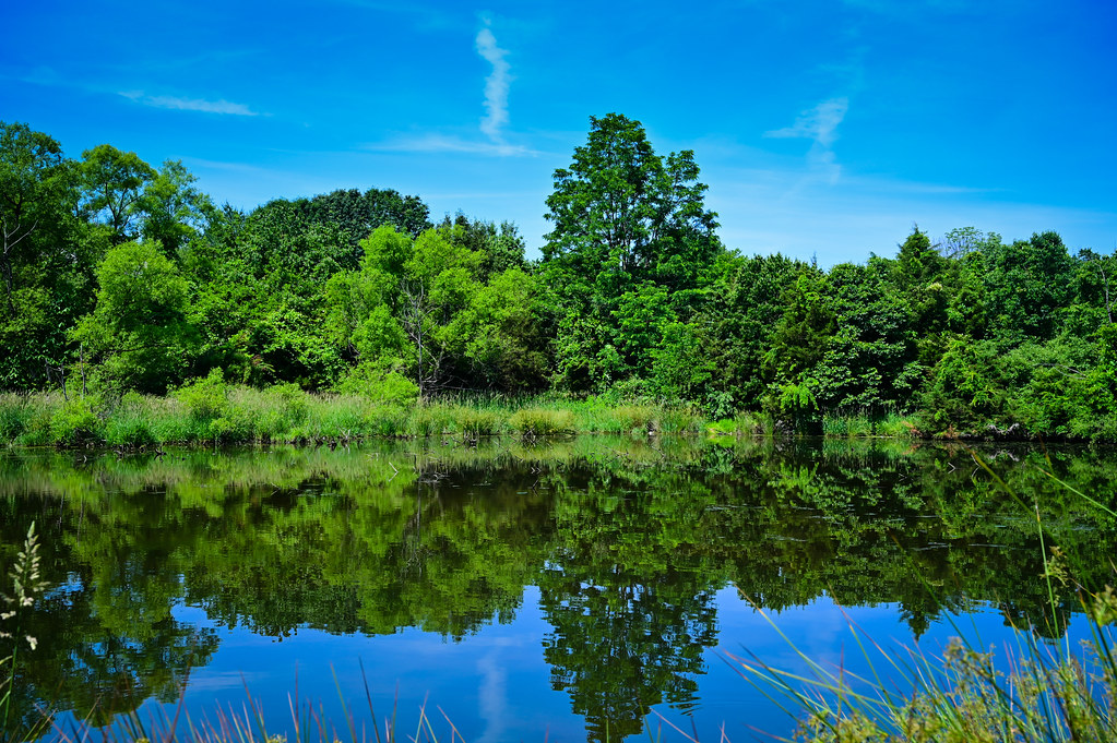
Reflections on The Pond at Loudoun County Bles Park Ashburn VA
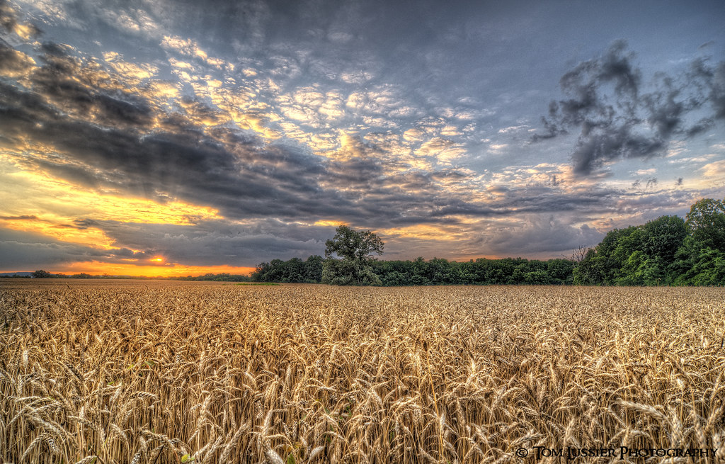
sunset usa tree clouds landscape virginia nikon cloudscapes loudouncounty tomlussier farmsandfoodpec2012
Amber Waves Sunset
ashburn virginia unitedstates landscape broad run creek va loudoun county water branch stream river tree trees green cloud clouds blue sky
Landscape of Broad Run creek - Ashburn VA
sunset usa tree clouds landscape virginia nikon fisheye pastoral loudouncounty tomlussier farmsandfoodpec2013
Sea of Grain Sunset
longexposure virginia stream dam littleriver loudoncounty aldiedam
Aldie Dam Spring 2
mckeebeshers clouds landscape maryland sky summer sunflowers sunrise
A View to the East