Elevation map of Arunachal Pradesh, India
Location: Arunachal Pradesh > Chidu >
Longitude: 95.8142885
Latitude: 28.2694961
Elevation: 2087m / 6847feet
Barometric Pressure: 79KPa
Elevation Map:
Satellite Map:
Related Photos:

Skating on Thick Ice

Tiwari Gaon

IphiPani River

Dibang Valley Camp

Sally Lake

Misty Mountains

On The Road

Snow Drop

S Curve
Many a times, bridges are the illusion of the mind to be crossed over by your heart...;-) #quote

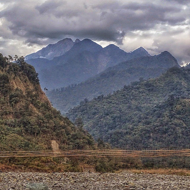
One afternoon in Hunli! #mesmerising #mountains #Himalayas #mishmihills #arunachalpradesh #northeastindia #mountainlove #myoffice #travelphotography #incredibleindia #lonelyplanet
Topographic Map of Arunachal Pradesh, India
Find elevation by address:

Places near Arunachal Pradesh, India:
Chidu
Dibang River Bridge
Lower Dibang Valley
Dibang River
Anini
Dibang Valley
Walong
Bairiga
然乌错
Ranwu Lake
Recent Searches:
- Elevation of Corso Fratelli Cairoli, 35, Macerata MC, Italy
- Elevation of Tallevast Rd, Sarasota, FL, USA
- Elevation of 4th St E, Sonoma, CA, USA
- Elevation of Black Hollow Rd, Pennsdale, PA, USA
- Elevation of Oakland Ave, Williamsport, PA, USA
- Elevation of Pedrógão Grande, Portugal
- Elevation of Klee Dr, Martinsburg, WV, USA
- Elevation of Via Roma, Pieranica CR, Italy
- Elevation of Tavkvetili Mountain, Georgia
- Elevation of Hartfords Bluff Cir, Mt Pleasant, SC, USA