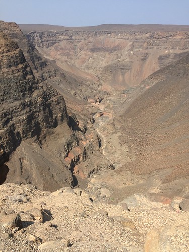
Elevation map of Arta, Djibouti
Location: Djibouti >
Longitude: 42.4724578
Latitude: 11.418236
Elevation: 728m / 2388feet
Barometric Pressure: 93KPa
Related Photos:
Topographic Map of Arta, Djibouti
Find elevation by address:

Places in Arta, Djibouti:
Places near Arta, Djibouti:
Day Forest National Park
Djibouti
Dittilou
Djibouti
Goda Mountains
Chabelley Airport
Dorra Airport
Unnamed Road
Camp Lemonnier
Djibouti
Port De Djibouti
Bankouale
Recent Searches:
- Elevation of Corso Fratelli Cairoli, 35, Macerata MC, Italy
- Elevation of Tallevast Rd, Sarasota, FL, USA
- Elevation of 4th St E, Sonoma, CA, USA
- Elevation of Black Hollow Rd, Pennsdale, PA, USA
- Elevation of Oakland Ave, Williamsport, PA, USA
- Elevation of Pedrógão Grande, Portugal
- Elevation of Klee Dr, Martinsburg, WV, USA
- Elevation of Via Roma, Pieranica CR, Italy
- Elevation of Tavkvetili Mountain, Georgia
- Elevation of Hartfords Bluff Cir, Mt Pleasant, SC, USA


