Elevation of Arnold Ln, Waitsburg, WA, USA
Location: United States > Washington > Walla Walla County > Waitsburg >
Longitude: -118.16203
Latitude: 46.2661267
Elevation: 382m / 1253feet
Barometric Pressure: 97KPa
Elevation Map:
Satellite Map:
Related Photos:
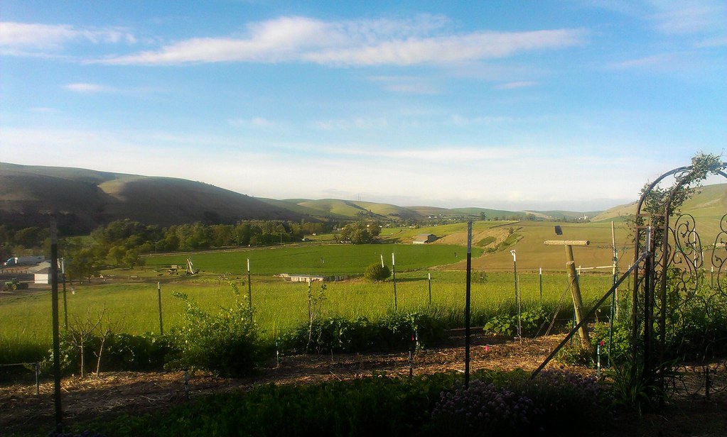
The view from where I'm staying.
From Skyrocket Road

Waitsburg Ruins

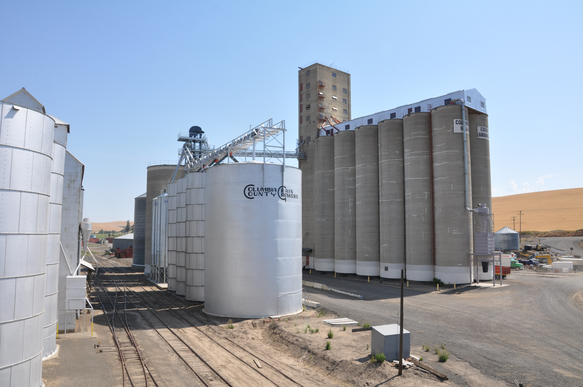
View of the old Grain Elevator at Springacres Ranch, Waitsburg, WA
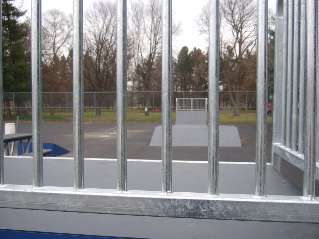
view from quarter pipe

MappingMainStreet_DaytonWA-60
MappingMainStreet_DaytonWA-56
Library Exterior, pre-1974

Columbia County Rural Library District, 2008

Waitsburg view
Waitsburg view 2

Waitsburg view

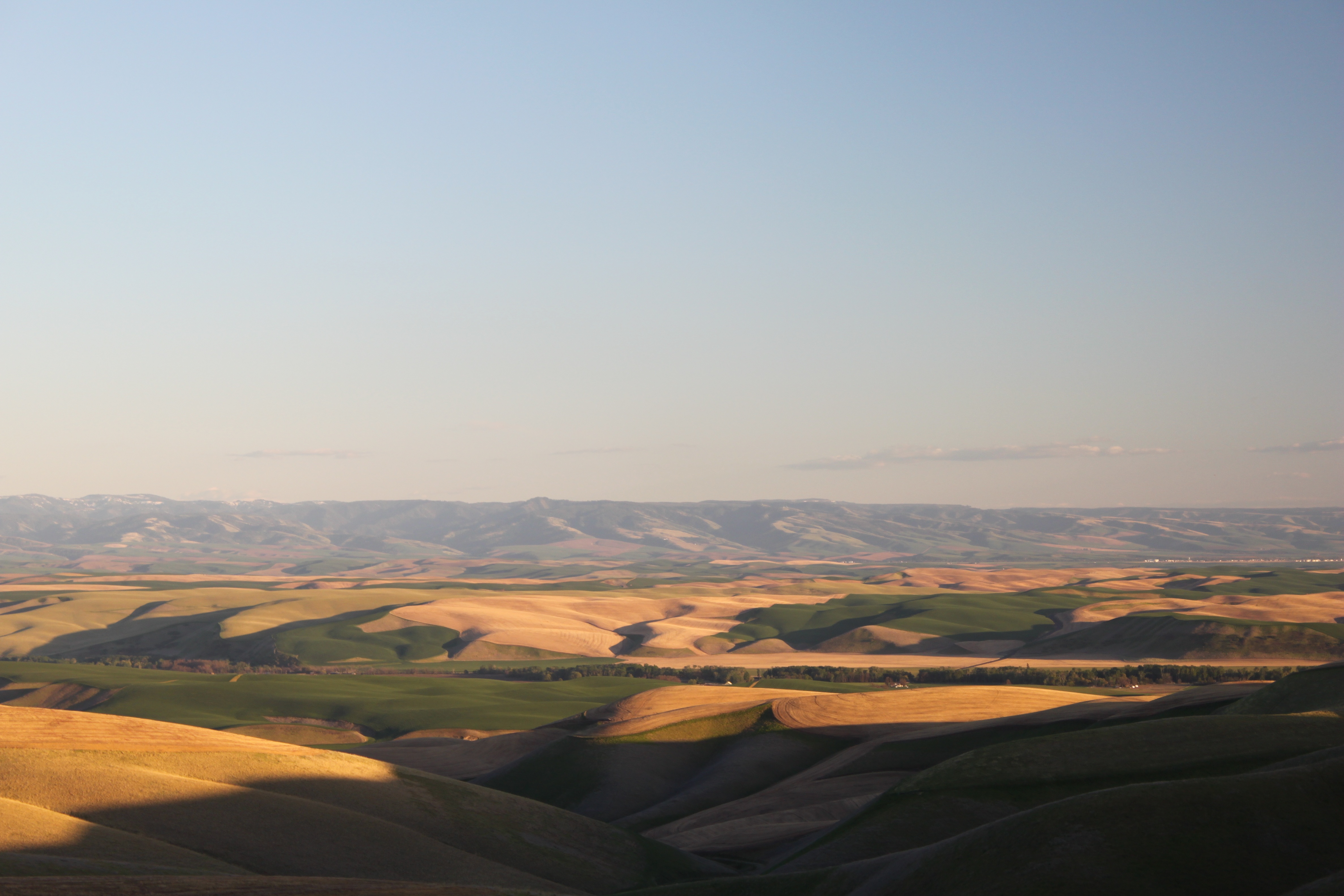
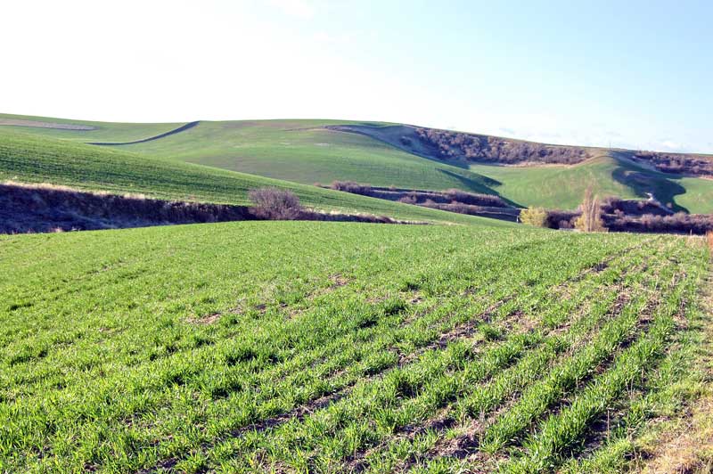
Rolling Hills

On the road to Spring Valley Vineyard

What A Day

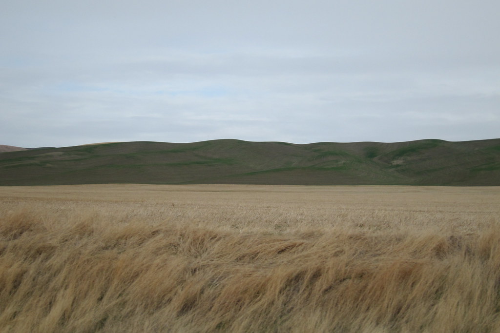
Waving grass
Silo Sunrise
park shadows

Palouse road
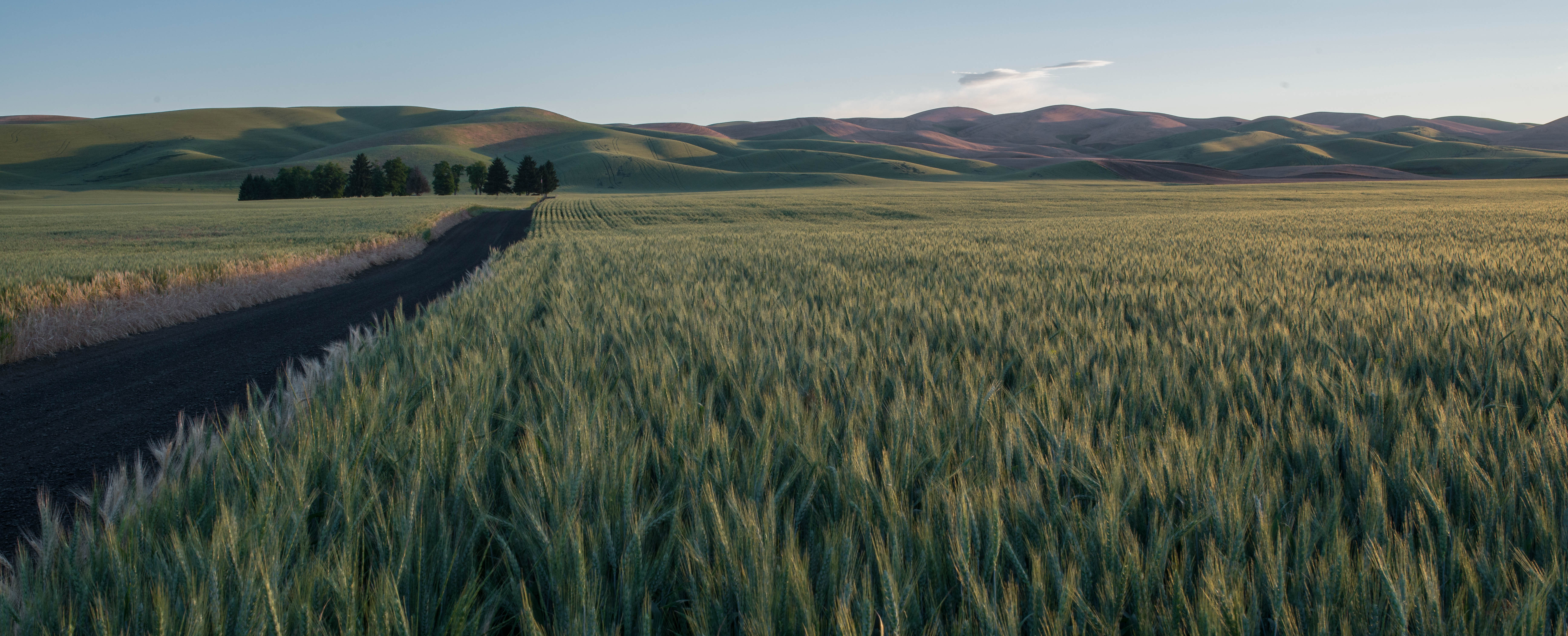
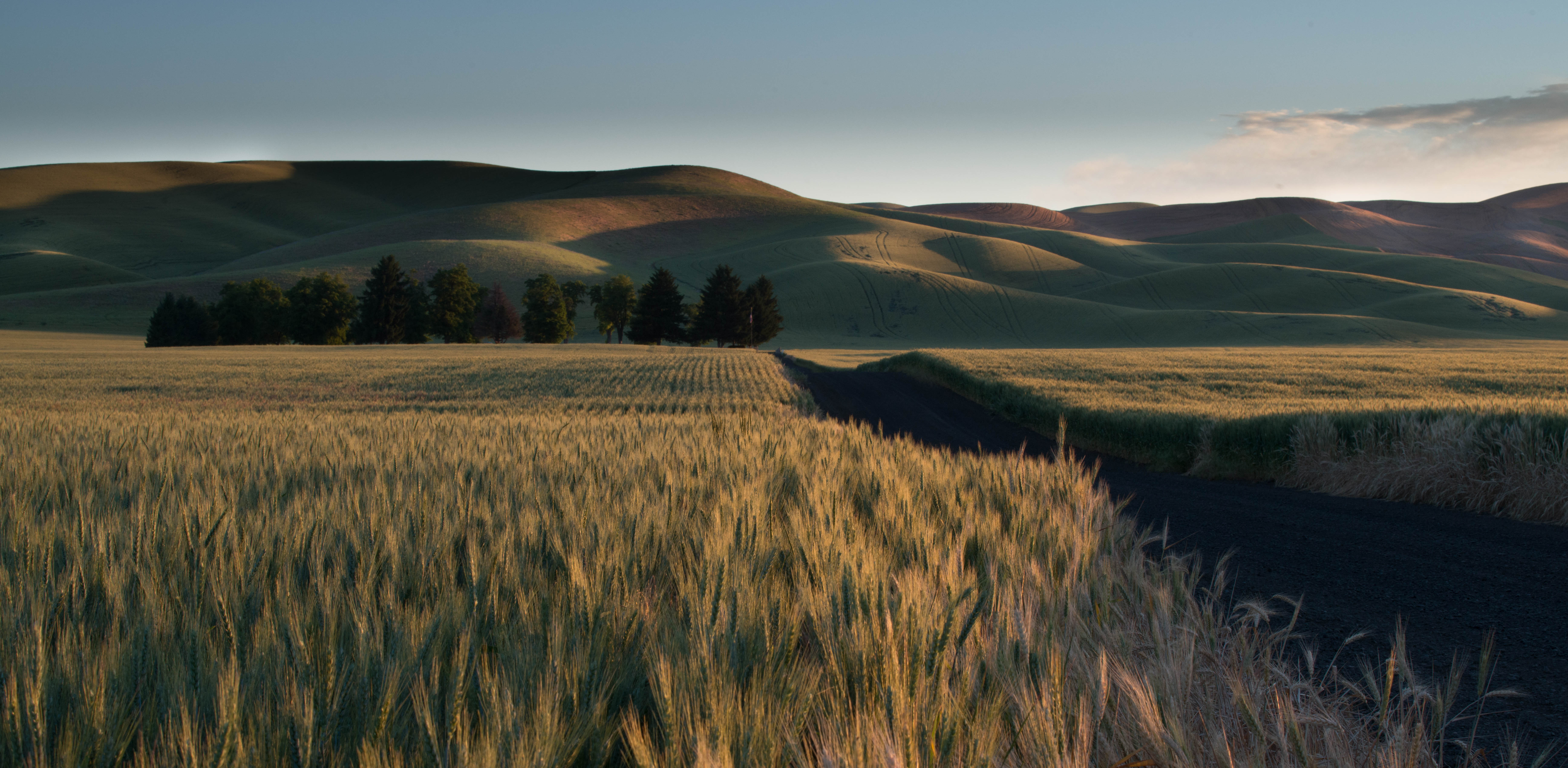
Sunrise Wheat Field
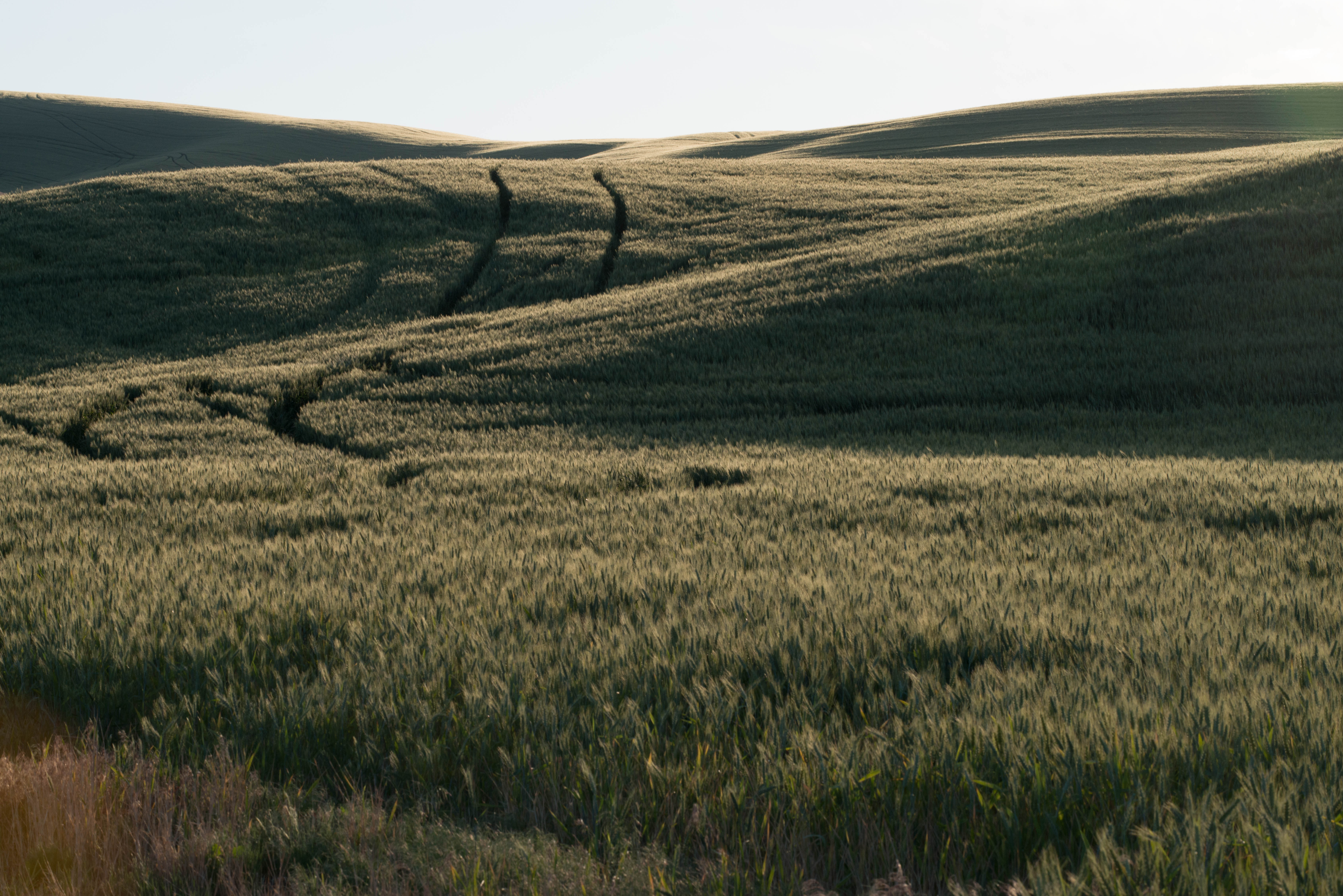
Tracks in Wheat
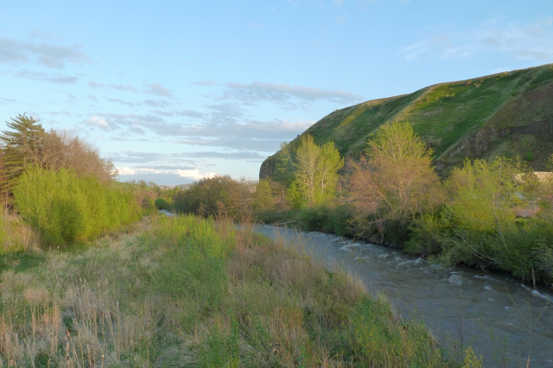
touchet river - rock hill

Prescott, WA 10.30.11 15.53 IMG_0804
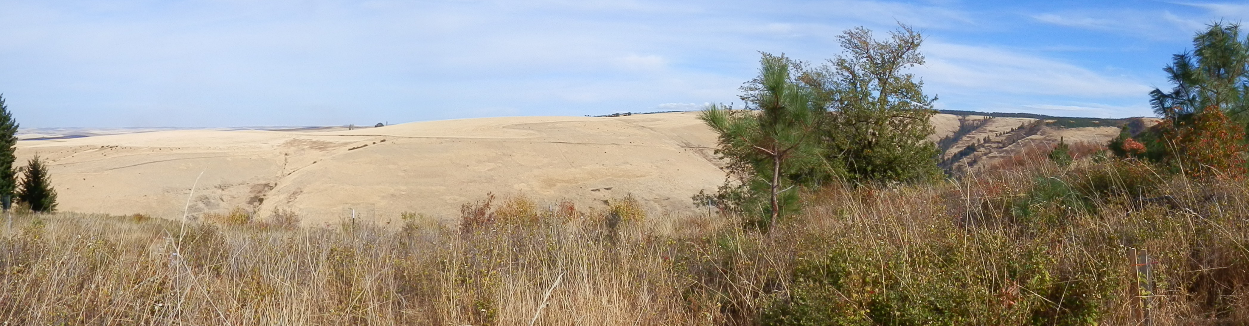
section 14

First Light
Spring Wheat
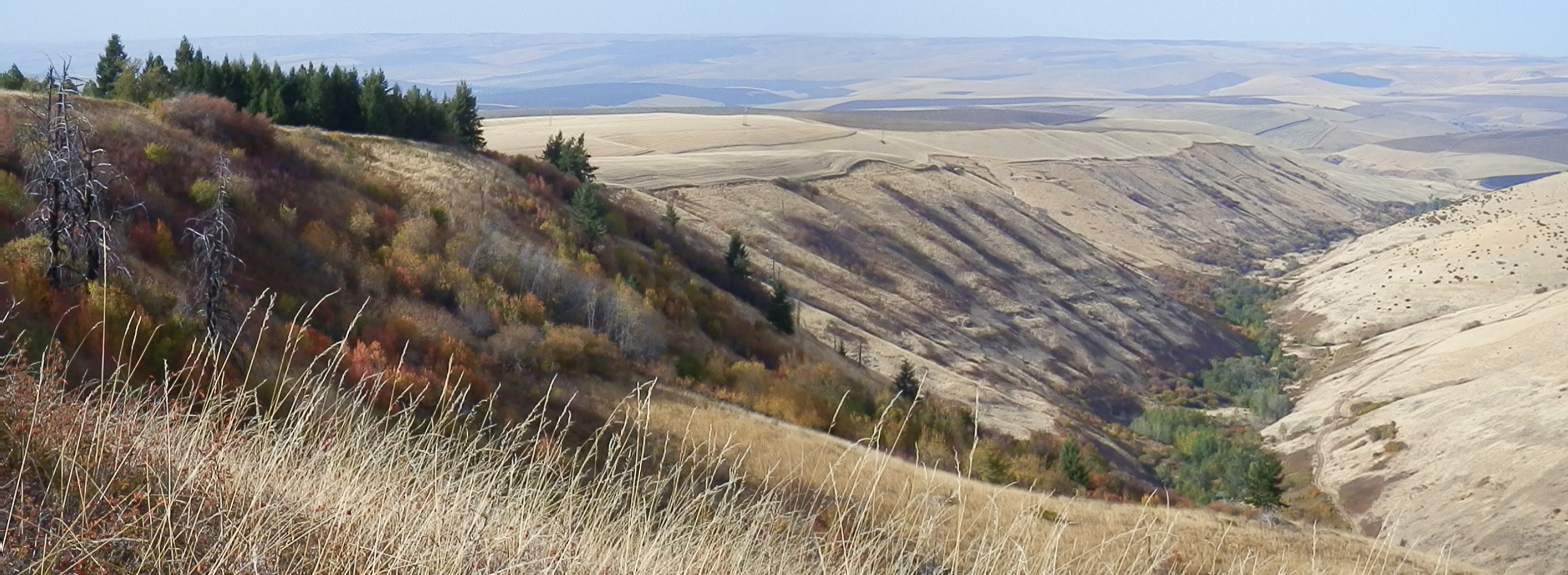
Rocky Point, Jasper Mt.
Prescott, WA 10.30.11 15.53 IMG_0803
Sunrise over Rolling Wheat Fields
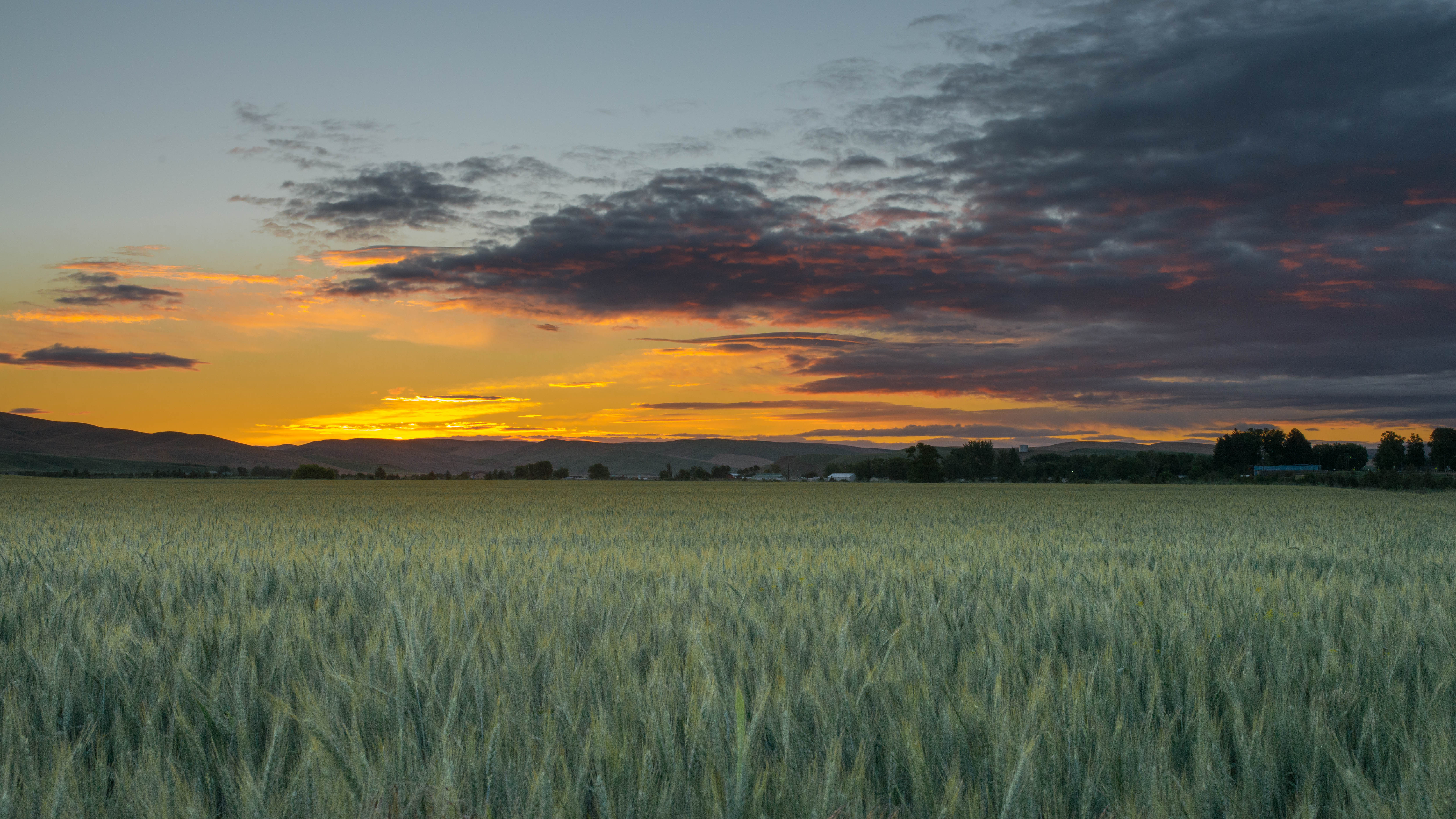
Wheat Field at Dawn
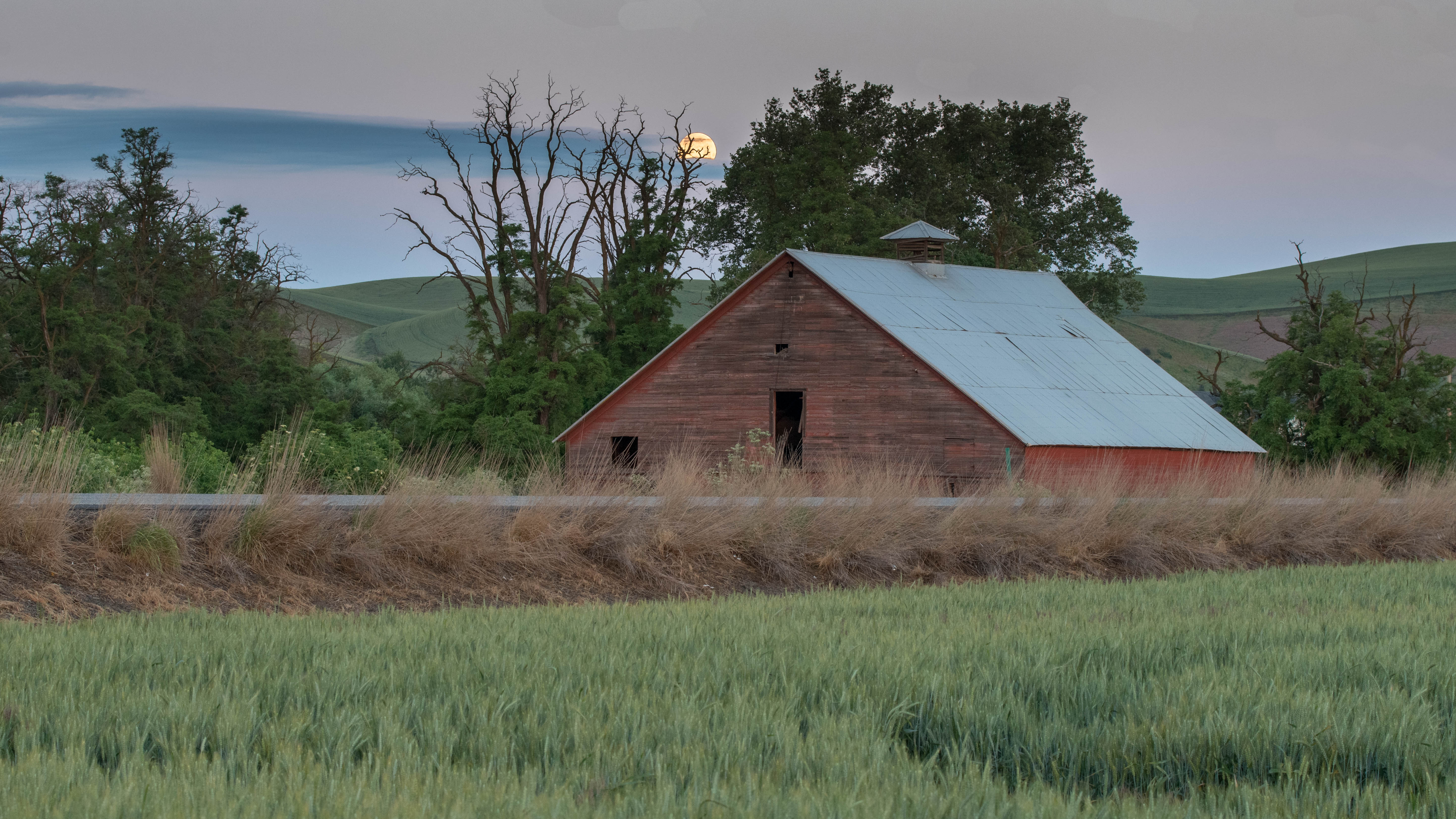
Moon Fall over Barn

Palouse poppies
Topographic Map of Arnold Ln, Waitsburg, WA, USA
Find elevation by address:

Places near Arnold Ln, Waitsburg, WA, USA:
Waitsburg
WA-, Waitsburg, WA, USA
238 Shea Rd
347 Shea Rd
Hart Rd, Prescott, WA, USA
102 Carpenter Rd
Prescott
Spring Creek Rd, Waitsburg, WA, USA
Mill Creek Rd, Walla Walla, WA, USA
3108 Mill Creek Rd
Mill Creek Rd, Walla Walla, WA, USA
820 Mill Creek Rd
1103 E St
Bldg 270
500 Tausick Way
Scenic Loop Road
722 Scenic Loop Rd
Airport Way
7411 Mill Creek Rd
Bennington Lake
Recent Searches:
- Elevation of Corso Fratelli Cairoli, 35, Macerata MC, Italy
- Elevation of Tallevast Rd, Sarasota, FL, USA
- Elevation of 4th St E, Sonoma, CA, USA
- Elevation of Black Hollow Rd, Pennsdale, PA, USA
- Elevation of Oakland Ave, Williamsport, PA, USA
- Elevation of Pedrógão Grande, Portugal
- Elevation of Klee Dr, Martinsburg, WV, USA
- Elevation of Via Roma, Pieranica CR, Italy
- Elevation of Tavkvetili Mountain, Georgia
- Elevation of Hartfords Bluff Cir, Mt Pleasant, SC, USA