Elevation of Armstrong, ON P0T, Canada
Location: Canada > Ontario > Thunder Bay District > Unorganized Thunder Bay District >
Longitude: -89.058273
Latitude: 50.296741
Elevation: 358m / 1175feet
Barometric Pressure: 97KPa
Elevation Map:
Satellite Map:
Related Photos:
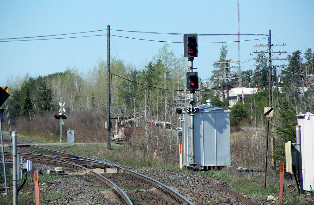
Unusual Signal Head

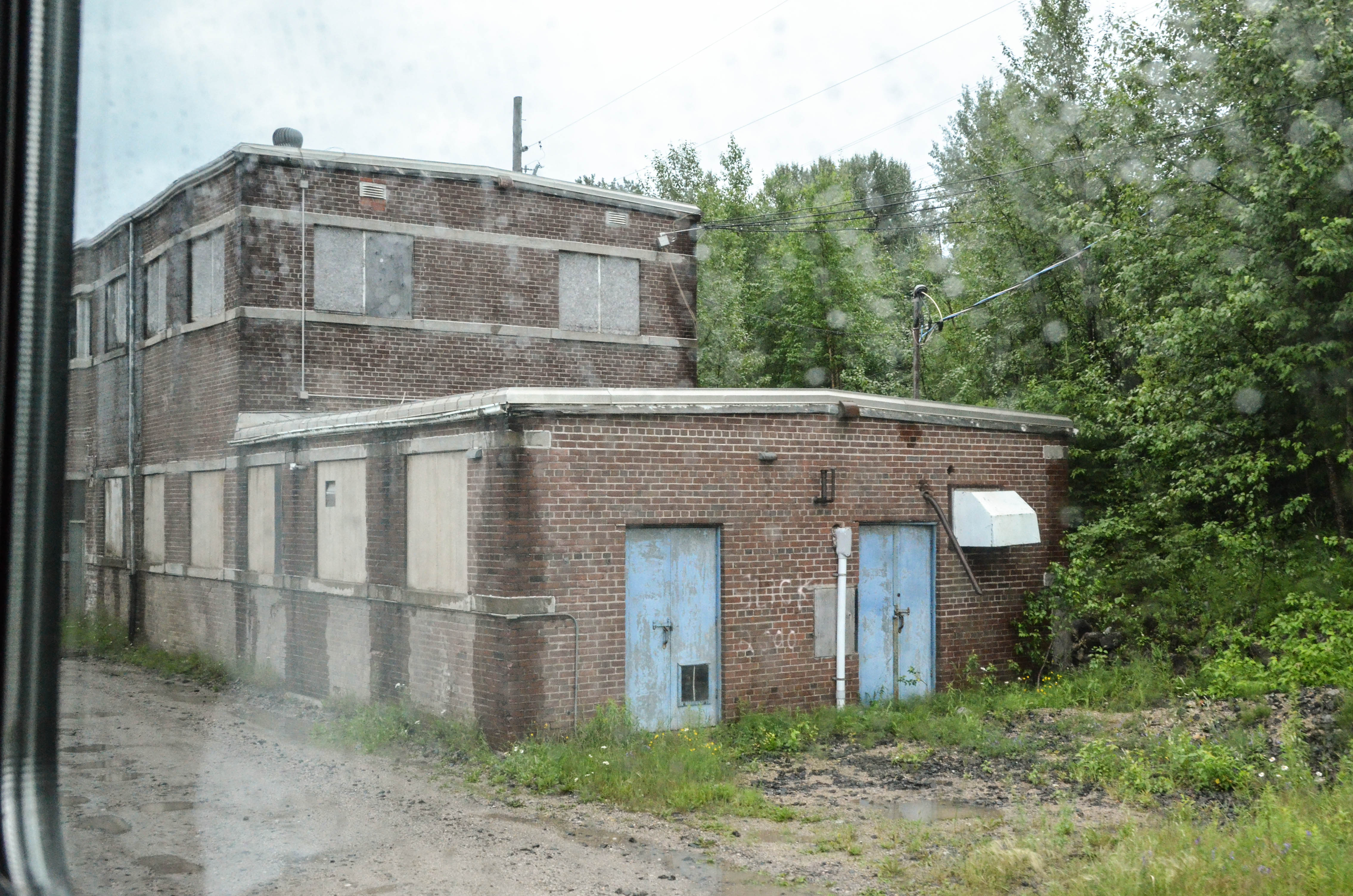
Yes, This is a Train Station

DSC00499.JPG
DSC_3140.jpg

DSC_3139.jpg
Topographic Map of Armstrong, ON P0T, Canada
Find elevation by address:

Places near Armstrong, ON P0T, Canada:
Recent Searches:
- Elevation of Corso Fratelli Cairoli, 35, Macerata MC, Italy
- Elevation of Tallevast Rd, Sarasota, FL, USA
- Elevation of 4th St E, Sonoma, CA, USA
- Elevation of Black Hollow Rd, Pennsdale, PA, USA
- Elevation of Oakland Ave, Williamsport, PA, USA
- Elevation of Pedrógão Grande, Portugal
- Elevation of Klee Dr, Martinsburg, WV, USA
- Elevation of Via Roma, Pieranica CR, Italy
- Elevation of Tavkvetili Mountain, Georgia
- Elevation of Hartfords Bluff Cir, Mt Pleasant, SC, USA