Elevation of Armstrong County, TX, USA
Location: United States > Texas >
Longitude: -101.43391
Latitude: 34.937162
Elevation: 992m / 3255feet
Barometric Pressure: 90KPa
Elevation Map:
Satellite Map:
Related Photos:

Searching the Heavens

Evening Sun on the Canyon Rims

Canyon Fingers
Everyone thinks of changing the world, but no one thinks of changing himself...

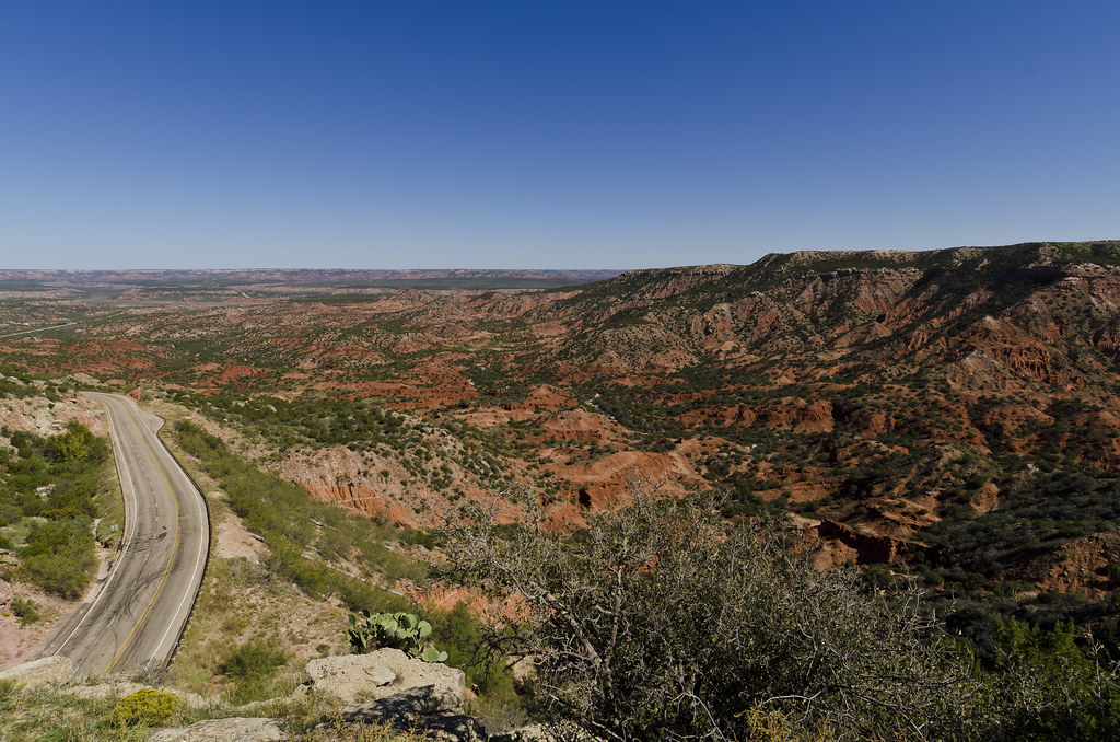
View from Highway 207

Dawn - Palo Duro Canyon, Texas

Palo Duro Morning - Claude, Texas

Palo Duro

Morning Drive - Palo Duro Canyon, Texas

The Canyon
Topographic Map of Armstrong County, TX, USA
Find elevation by address:

Places in Armstrong County, TX, USA:
Places near Armstrong County, TX, USA:
Claude
Palo Duro Canyon State Park
131 Ranch Pkwy
Randall County
310 Prairie Point
Lake Tanglewood
Bayshore Dr, Amarillo, TX, USA
441 W Plantation Rd
Nicci Lane
Happy
E Main St, Happy, TX, USA
13601 S Western St
Plantation Drive
Silverton
West Texas A&m University
24th St, Canyon, TX, USA
Canyon
6301 W Country Club Rd
13th Avenue
1701 Creekmere Dr
Recent Searches:
- Elevation of Corso Fratelli Cairoli, 35, Macerata MC, Italy
- Elevation of Tallevast Rd, Sarasota, FL, USA
- Elevation of 4th St E, Sonoma, CA, USA
- Elevation of Black Hollow Rd, Pennsdale, PA, USA
- Elevation of Oakland Ave, Williamsport, PA, USA
- Elevation of Pedrógão Grande, Portugal
- Elevation of Klee Dr, Martinsburg, WV, USA
- Elevation of Via Roma, Pieranica CR, Italy
- Elevation of Tavkvetili Mountain, Georgia
- Elevation of Hartfords Bluff Cir, Mt Pleasant, SC, USA