Elevation of Argy, France
Location: France > Centre > Indre >
Longitude: 1.43686
Latitude: 46.939238
Elevation: 122m / 400feet
Barometric Pressure: 100KPa
Elevation Map:
Satellite Map:
Related Photos:

French Chateau _DSC1870
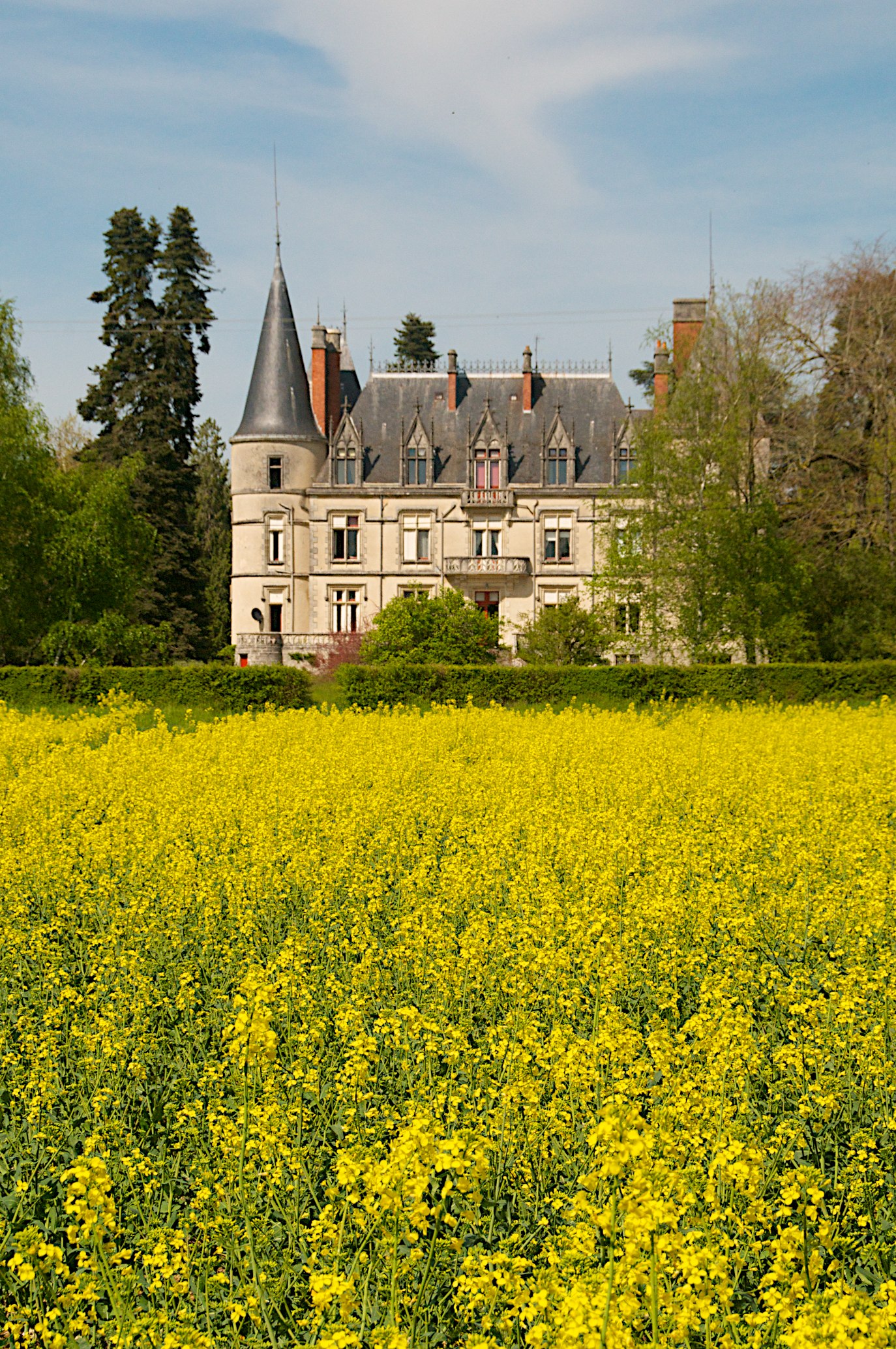
French Chateau _DSC1858
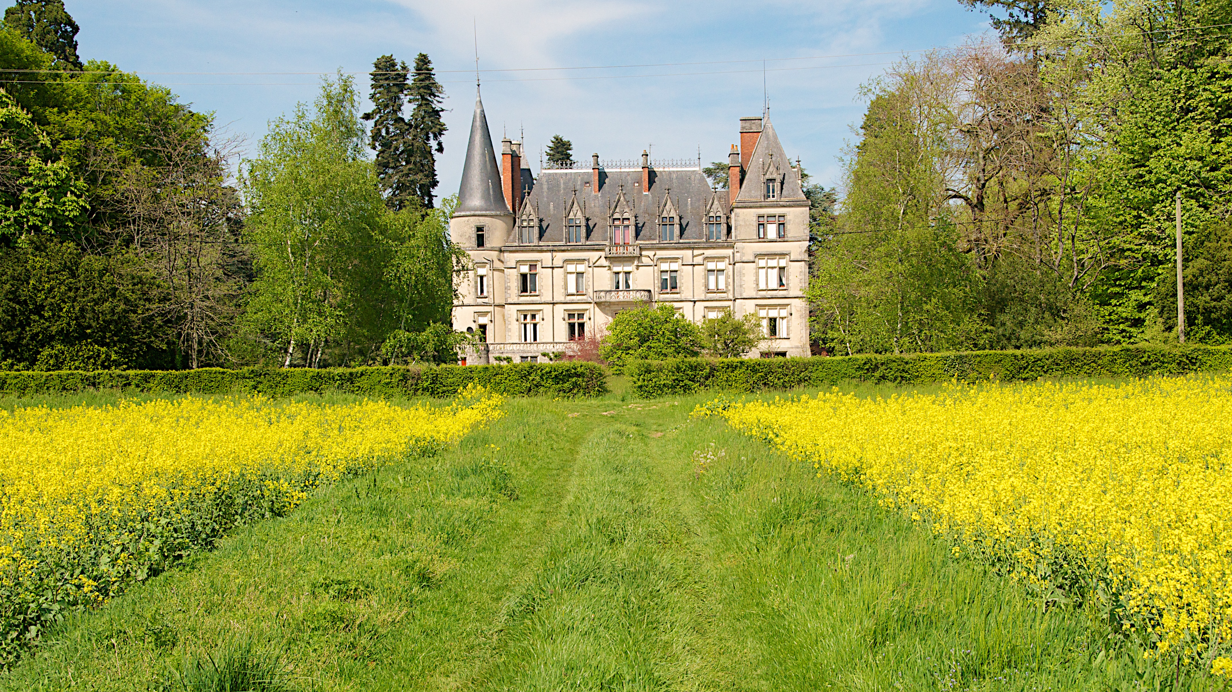
French Chateau _DSC1853
French Chateau _DSC1870
balade autour de l'étang Baron

French Chateau _DSC1875
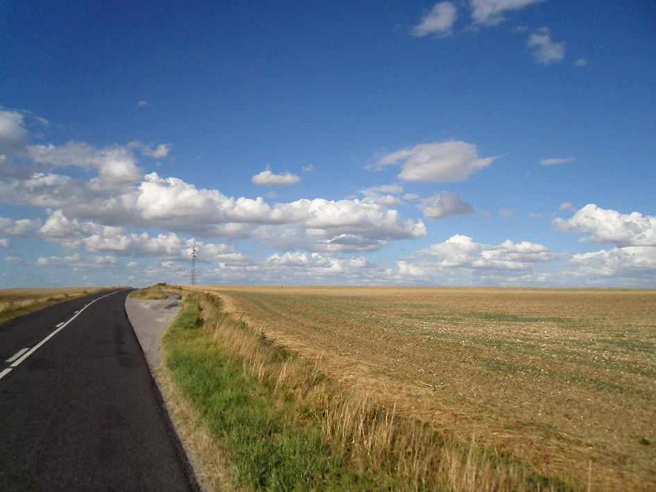
Route du Berry
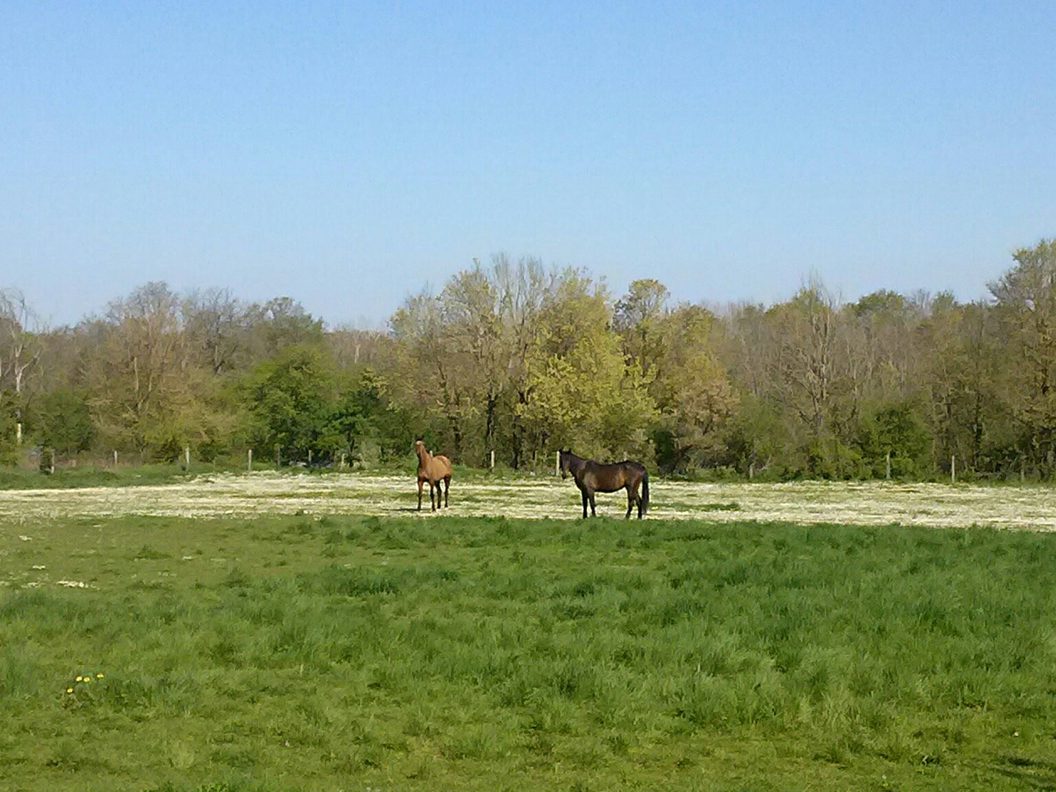
CAM00047-1[1]

French Chateau _DSC1858

Tesseau France _DSC1853
Topographic Map of Argy, France
Find elevation by address:

Places in Argy, France:
Places near Argy, France:
8 Route de Chezelles, Argy, France
Buzançais
9 Rue des Jeveaux, Buzançais, France
14 Lotissement des Châtaigniers, Valençay, France
4 La Moinerie, Poulaines, France
Bouges-le-château
1 Route de Levroux, Bouges-le-Château, France
Valençay
12 Allée des Lucioles, Châteauroux, France
Indre
Chemin de Marban, Déols, France
Châteauroux
Déols
12 Allée de Fontarce, Le Poinçonnet, France
Poulaines
6 La Monatière, La Vernelle, France
45 Route du Petit Epot, Le Poinçonnet, France
19 Allée Rosa Luxembourg, Le Poinçonnet, France
La Vernelle
Le Poinçonnet
Recent Searches:
- Elevation of Corso Fratelli Cairoli, 35, Macerata MC, Italy
- Elevation of Tallevast Rd, Sarasota, FL, USA
- Elevation of 4th St E, Sonoma, CA, USA
- Elevation of Black Hollow Rd, Pennsdale, PA, USA
- Elevation of Oakland Ave, Williamsport, PA, USA
- Elevation of Pedrógão Grande, Portugal
- Elevation of Klee Dr, Martinsburg, WV, USA
- Elevation of Via Roma, Pieranica CR, Italy
- Elevation of Tavkvetili Mountain, Georgia
- Elevation of Hartfords Bluff Cir, Mt Pleasant, SC, USA