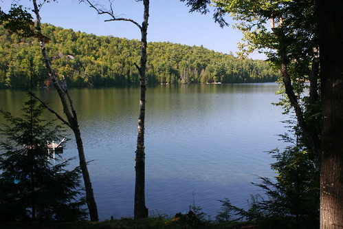
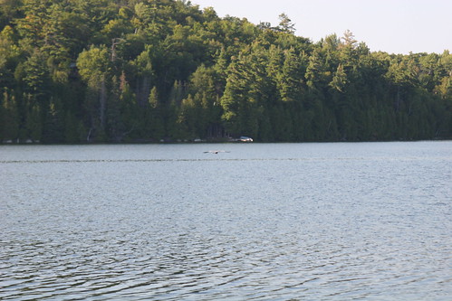
Elevation of Arcol Rd, Ompah, ON K0H 2J0, Canada
Location: Canada > Ontario > Frontenac County > North Frontenac > Ompah >
Longitude: -76.804014
Latitude: 45.0582319
Elevation: 290m / 951feet
Barometric Pressure: 98KPa
Related Photos:
Topographic Map of Arcol Rd, Ompah, ON K0H 2J0, Canada
Find elevation by address:

Places near Arcol Rd, Ompah, ON K0H 2J0, Canada:
Young Lane
10393 Road 509
Dead End Lane
Ompah
1052 Dead End Ln
117 Folger Rd
Antoine Lake
5440 S Lavant Rd
Norcan Lake
Clyde Lake
Mountain Rd, Plevna, ON K0H 2M0, Canada
591 Barrett Chute Rd
166 Stoughton Sideroad
Calabogie Peaks Resort
Calabogie Ski Racing Club
Greater Madawaska
345 Kennelly Mountain Rd
345 Kennelly Mountain Rd
K7v 3z7
Calabogie
Recent Searches:
- Elevation of Corso Fratelli Cairoli, 35, Macerata MC, Italy
- Elevation of Tallevast Rd, Sarasota, FL, USA
- Elevation of 4th St E, Sonoma, CA, USA
- Elevation of Black Hollow Rd, Pennsdale, PA, USA
- Elevation of Oakland Ave, Williamsport, PA, USA
- Elevation of Pedrógão Grande, Portugal
- Elevation of Klee Dr, Martinsburg, WV, USA
- Elevation of Via Roma, Pieranica CR, Italy
- Elevation of Tavkvetili Mountain, Georgia
- Elevation of Hartfords Bluff Cir, Mt Pleasant, SC, USA


