Elevation of Arches Cir, Alford, FL, USA
Location: United States > Florida > Jackson County > Alford >
Longitude: -85.33803
Latitude: 30.596659
Elevation: 73m / 240feet
Barometric Pressure: 100KPa
Elevation Map:
Satellite Map:
Related Photos:

Fringed meadowbeauty
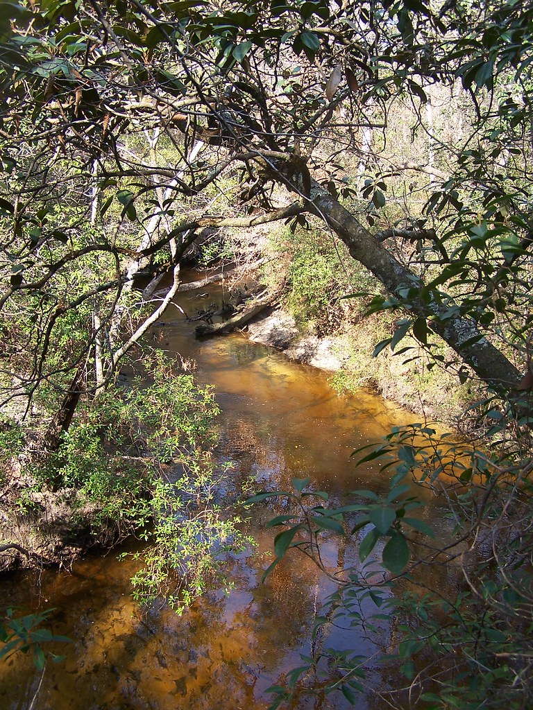
Econfina Creek Water Management Area, Florida
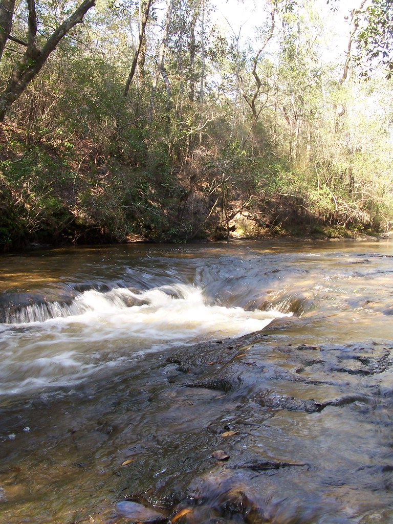
FLTrail along Econfina Creek

Carolina milkweed
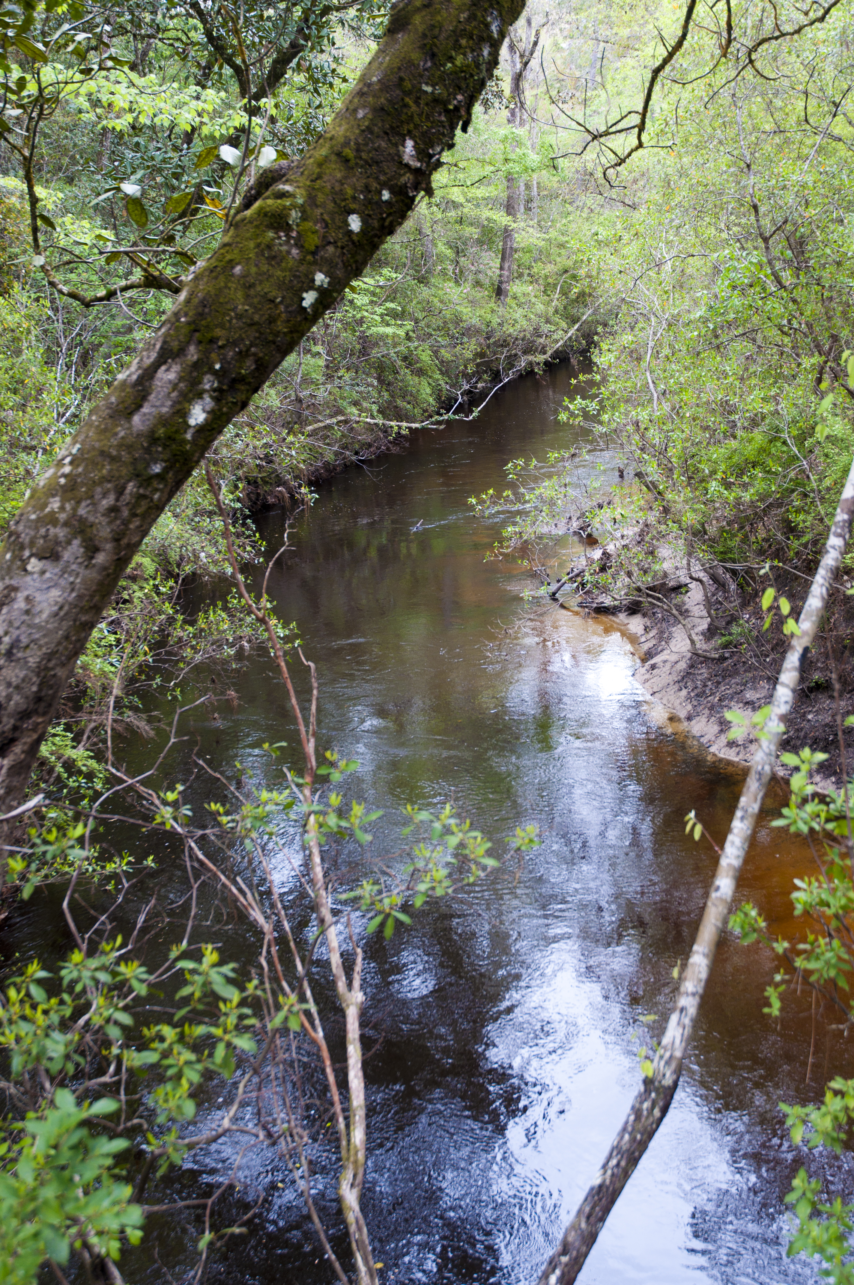
FLTrail along Econfina Creek
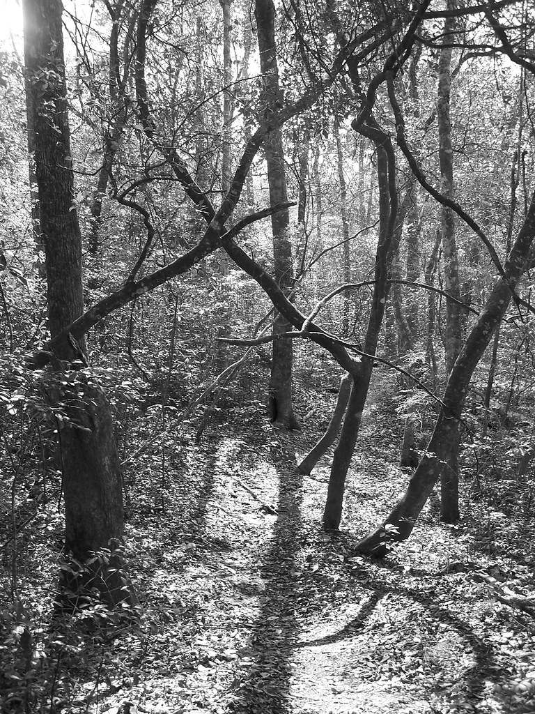
FLTrail along Econfina Creek

Canada goldenrod
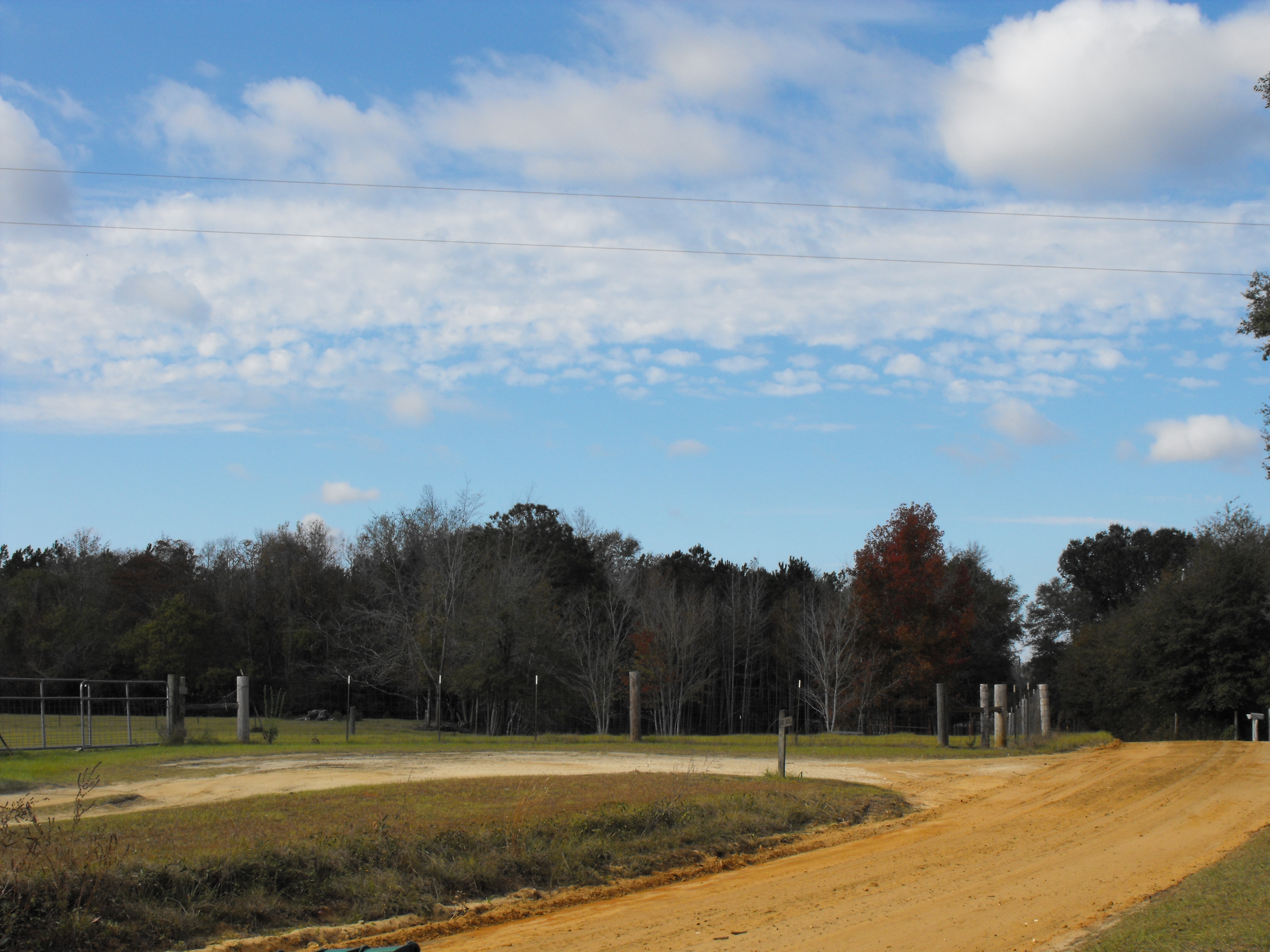
Country Road
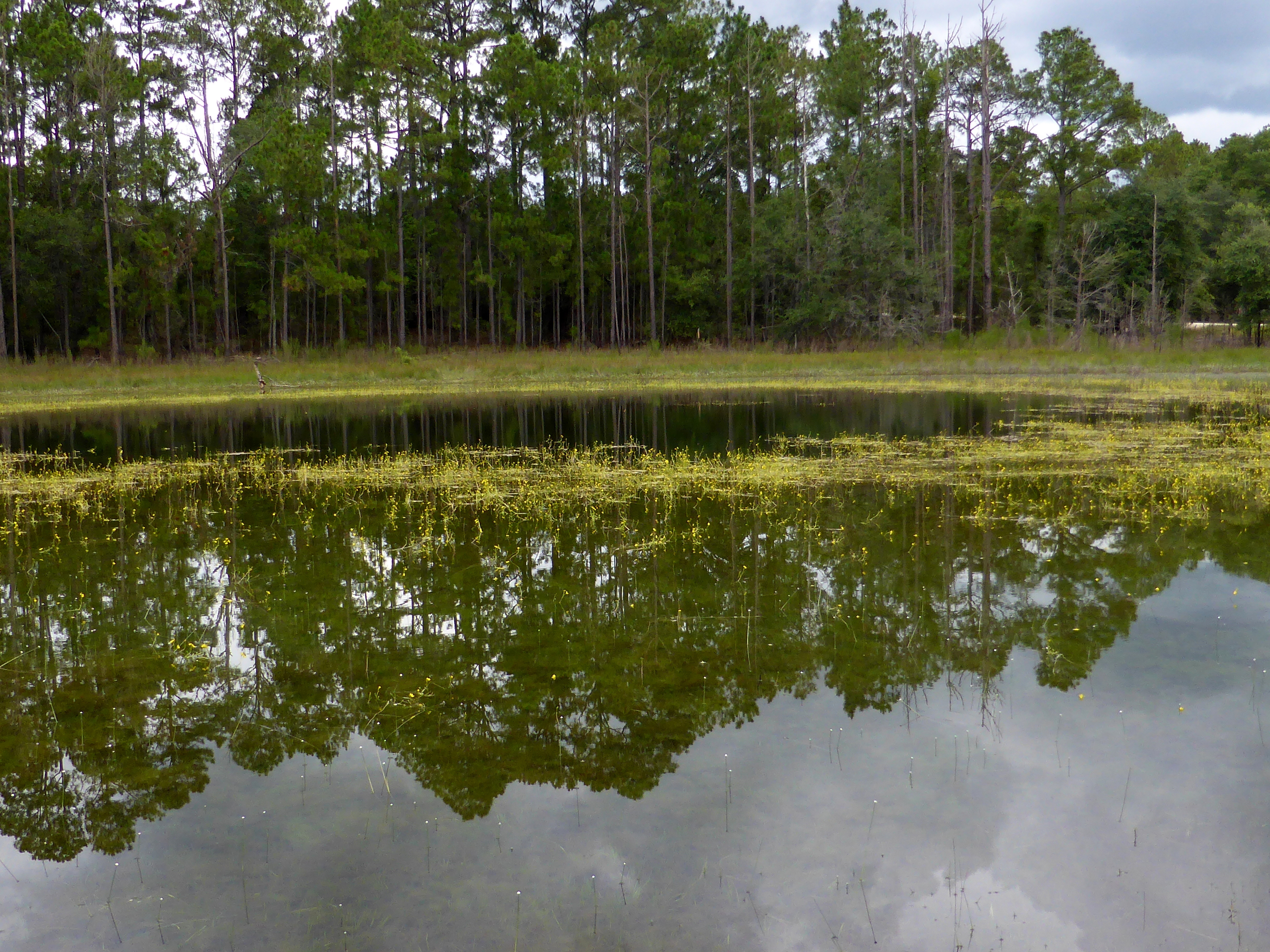
Floating bladderwort

Tall jointweed
Topographic Map of Arches Cir, Alford, FL, USA
Find elevation by address:

Places near Arches Cir, Alford, FL, USA:
Monoghela Avenue
Nortek Boulevard
Nortek Boulevard
Deer Run Circle
820 Rebecca Ct
538 Palm Ct
Plateau Circle
Gambier Drive
2814 Nortek Blvd
Hillside Drive
Gate Road
3683 Hibiscus St
Lakepoint Rd, Alford, FL, USA
Compass Lake
2516 Kinfolk Dr
Christiansted Drive
Andrew Court
304 City Square Rd
Blackmon Rd, Alford, FL, USA
2784 Pilgrim Rest Church Rd
Recent Searches:
- Elevation of Corso Fratelli Cairoli, 35, Macerata MC, Italy
- Elevation of Tallevast Rd, Sarasota, FL, USA
- Elevation of 4th St E, Sonoma, CA, USA
- Elevation of Black Hollow Rd, Pennsdale, PA, USA
- Elevation of Oakland Ave, Williamsport, PA, USA
- Elevation of Pedrógão Grande, Portugal
- Elevation of Klee Dr, Martinsburg, WV, USA
- Elevation of Via Roma, Pieranica CR, Italy
- Elevation of Tavkvetili Mountain, Georgia
- Elevation of Hartfords Bluff Cir, Mt Pleasant, SC, USA