Elevation of Aravali, Murdav, Maharashtra, India
Location: India > Maharashtra > Ratnagiri > Murdav >
Longitude: 73.5270189
Latitude: 17.3095782
Elevation: 34m / 112feet
Barometric Pressure: 101KPa
Elevation Map:
Satellite Map:
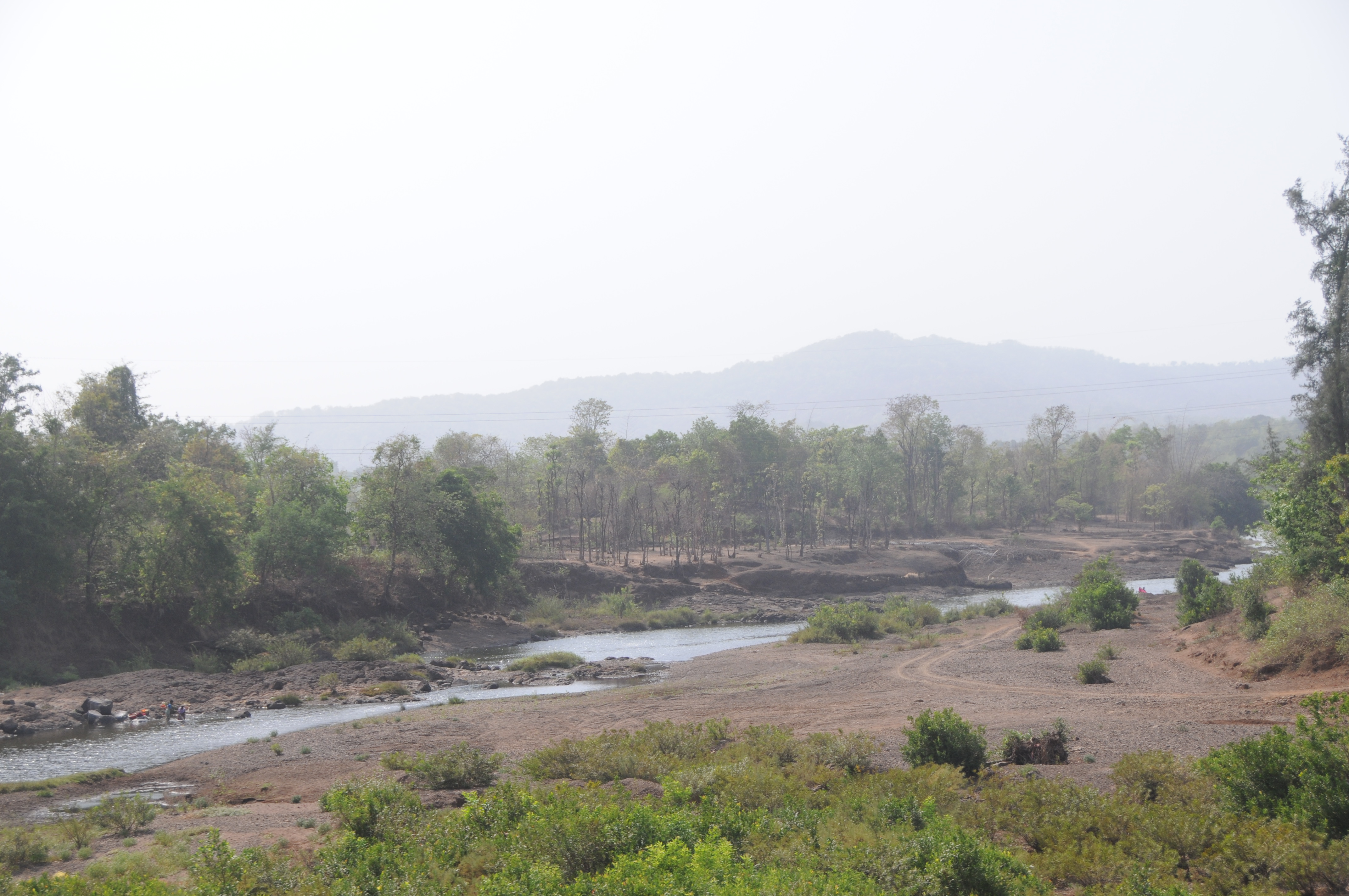
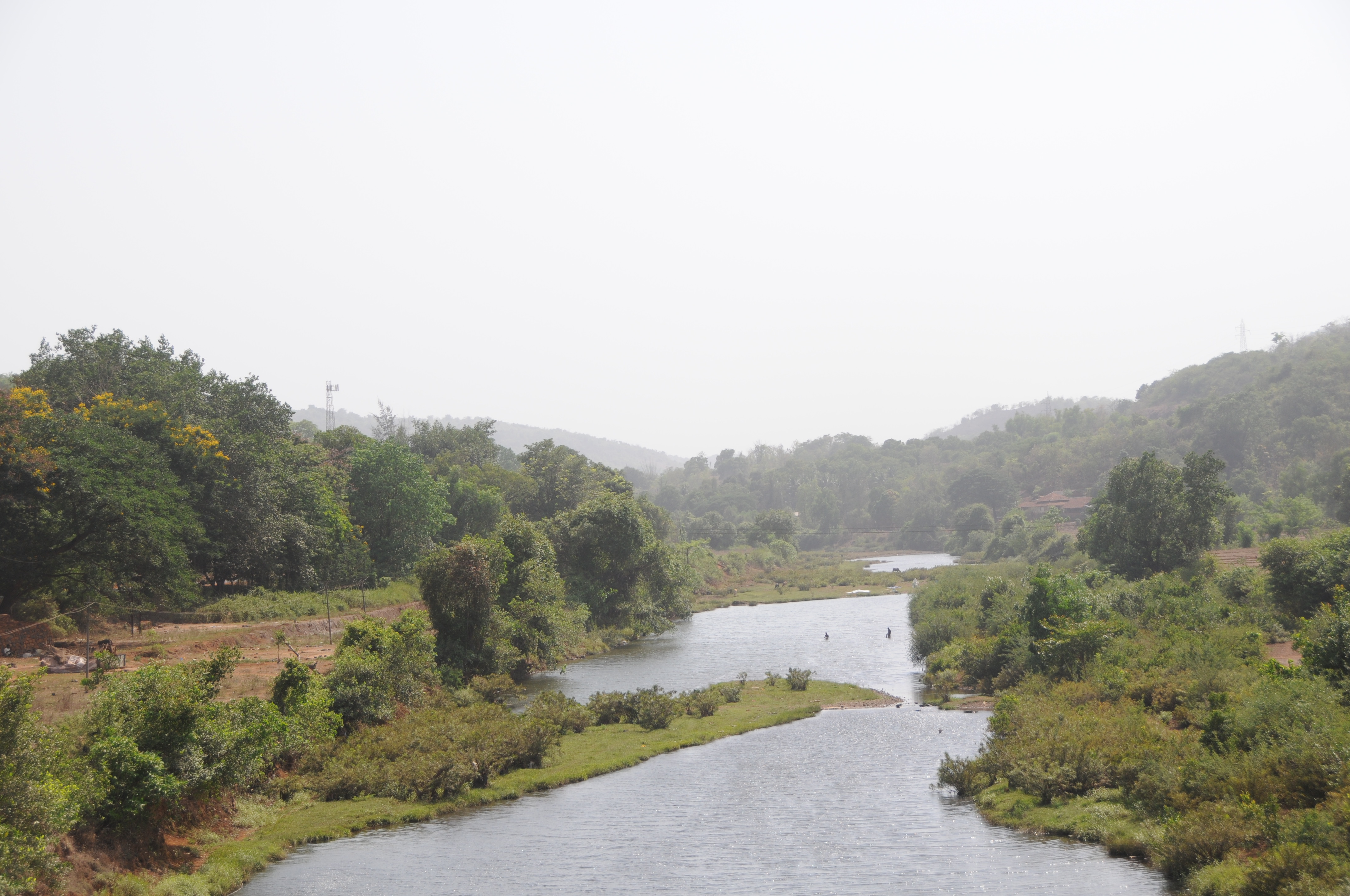
Related Photos:

Gad River Viaduct

CSP_6054.JPG
CSP_6060.JPG

CSP_6057.JPG

CSP_6040.JPG
CSP_6038.JPG

CSP_6042.JPG

CSP_6036.JPG

CSP_6039.JPG

CSP_6041.JPG

CSP_6048.JPG

CSP_6046.JPG

CSP_6058.JPG
CSP_6059.JPG
Topographic Map of Aravali, Murdav, Maharashtra, India
Find elevation by address:

Places near Aravali, Murdav, Maharashtra, India:
Aravali Road Railway Station
Murdav
Kumbhar Khani Bk.
Asurde
Patharpunj
Ghatmatha
Nechal
Waghane
Bopoli
Mala
Mendheghar
Shivandeshwar
Nav
Koyananagar
Rasati
Kadoli
Vanzole
Chafer
Nanel
Humbarne
Recent Searches:
- Elevation of Corso Fratelli Cairoli, 35, Macerata MC, Italy
- Elevation of Tallevast Rd, Sarasota, FL, USA
- Elevation of 4th St E, Sonoma, CA, USA
- Elevation of Black Hollow Rd, Pennsdale, PA, USA
- Elevation of Oakland Ave, Williamsport, PA, USA
- Elevation of Pedrógão Grande, Portugal
- Elevation of Klee Dr, Martinsburg, WV, USA
- Elevation of Via Roma, Pieranica CR, Italy
- Elevation of Tavkvetili Mountain, Georgia
- Elevation of Hartfords Bluff Cir, Mt Pleasant, SC, USA