Elevation of Ararat Hwy, Claudville, VA, USA

Location: United States > Virginia > Patrick County > Dan River > Claudville >

Longitude: -80.419454

Latitude: 36.5895822

Elevation: 451m / 1480feet

Barometric Pressure: 96KPa

Elevation Map:

elevation map of Ararat Hwy, Claudville, VA, USA

Satellite Map:

Satellite map of Ararat Hwy, Claudville, VA, USA
Related Photos:

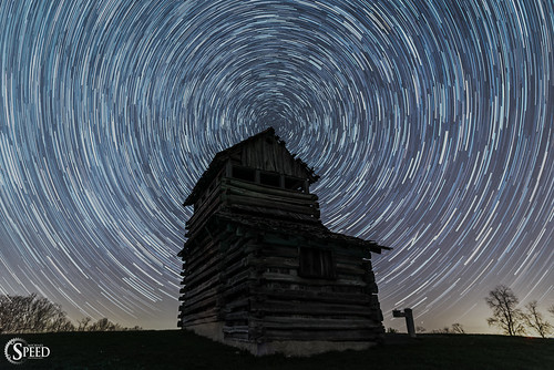
Starry swirl on the Blue Ridge Parkway.
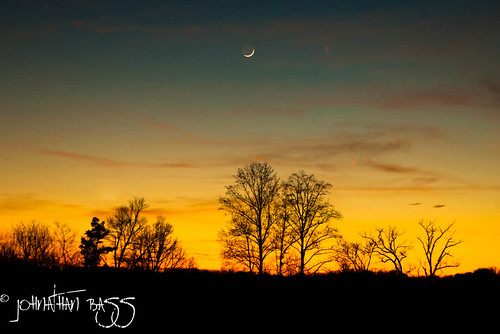
trees sunset moon field landscape nikon crescent moonrise rise waning d80
Waning Cresent
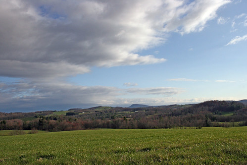
landscape virginia view va 2008 mountians carrollcountyva
The Rolling Blue Ridge Mountians
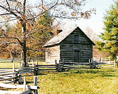
house mountains history rural virginia cabin rustic sightseeing historic parkway appalachian appalachia blueridgeparkway midwife folkways puckettcabin auntorelena
Puckett Cabin
2939 View Pilot Mountain Img_14100
morning fog virginia 2006 va blueridgemountains mountian carrollcountyva
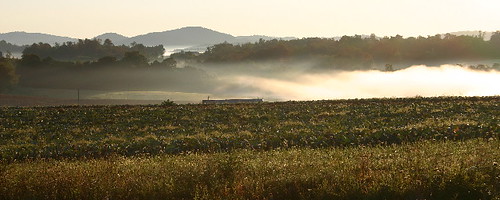
the morning fog
primlandresort
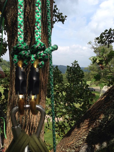
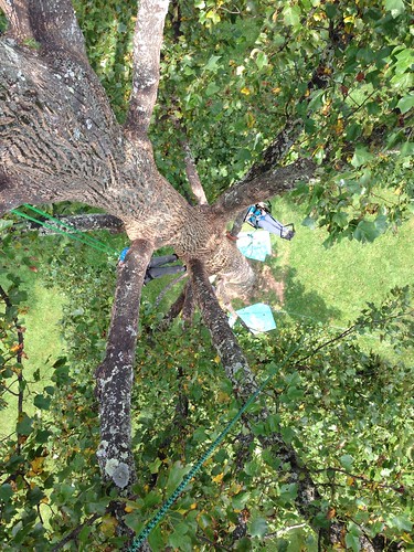
View from the top, with gear
primlandresort
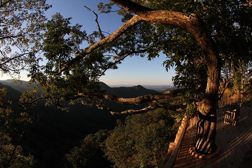
View down from the top
atlanta clouds flight iste iste14 iste2014
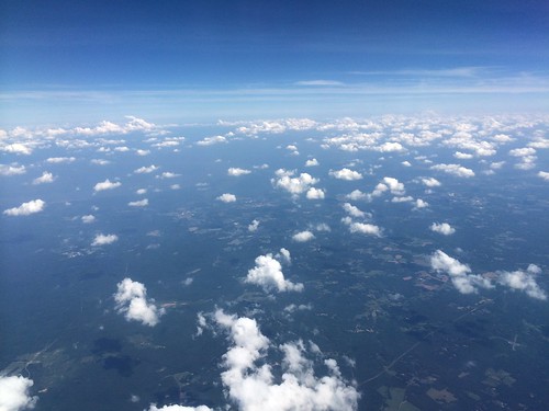
View from Above
primlandresort
View down from the top
2937 View Pilot Mountain Img_14098
primlandresort
View down from the top
primlandresort
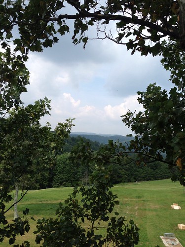
View from the top
virginia azaleas may parks nationalparks blueridgeparkway 2007 springblossoms carrollcounty flowersandplants may2007 virginiamountains groundhogmountainoverlook
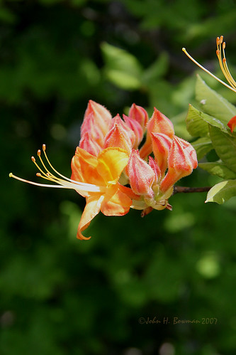
Flame azalea, opening
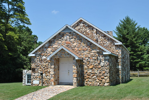
church stone blueridgeparkway presbyterian brp bluemont nationalregister nrhp bobchildress 07000224
BLUEMONT PRESBYTERIAN CHURCH
primlandresort
View from the top
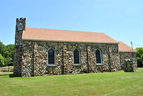
church stone blueridgeparkway presbyterian brp bluemont nationalregister nrhp bobchildress 07000224
BLUEMONT PRESBYTERIAN CHURCH
primlandresort
View of the valley
mountains virginia blueridgeparkway
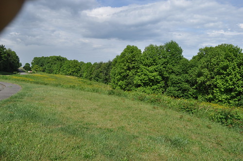
View From Ground Hog Mountain
geotagged overlook blueridgeparkway observationtower railfence brp groundhogmountain
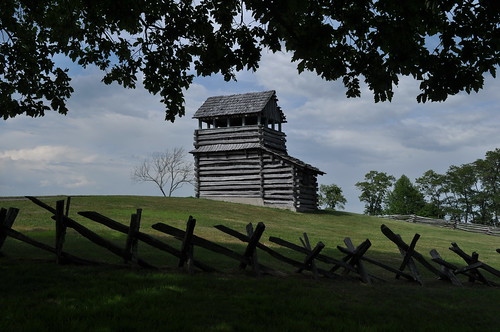
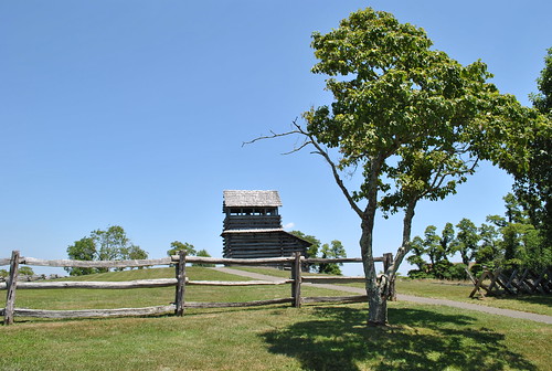
GROUND HOG MOUNTAIN
primlandresort
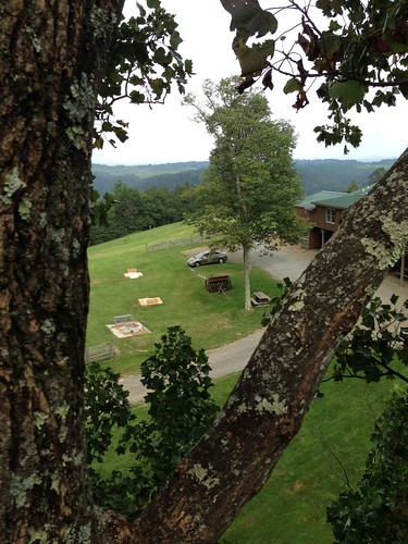
Middle tree view - with the car!
old chevrolet field truck photography rust bass rusty front panasonic johnathan chevy dilapidated worktruck gf3
One Old Chevy
old sunset house tree rural landscape farm country northcarolina stokescounty uploaded:by=flickrmobile flickriosapp:filter=nofilter johnathanbass
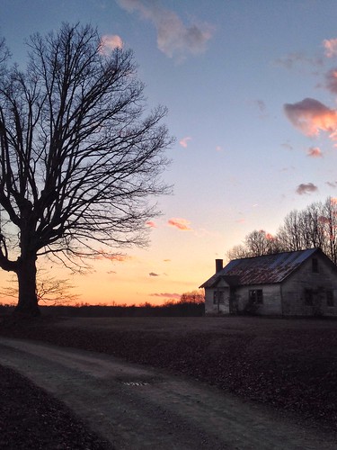
Country Evening
travel wallpaper vacation color beautiful digital landscape photography virginia photos picture blueridgemountains primland billpoagephotography
09 Primland Barn Owl Exteriors IMG_9807
Tree's
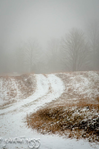
road trees snow field fog landscape nikon cloudy path foggy dirt sleet d80
Snowy Path to the Fog
square squareformat iphoneography instagramapp uploaded:by=instagram
Chairs tucked away.
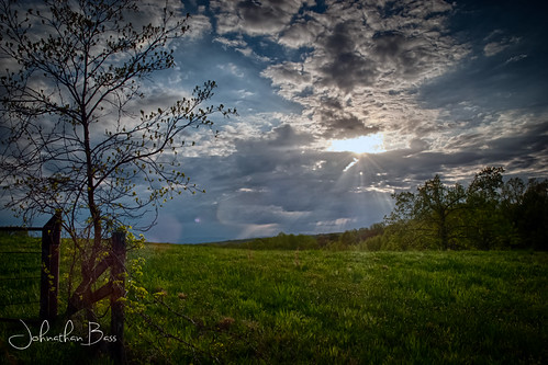
old sun tree field clouds fence landscape spring nikon gate bass johnathan sunburst burst sunrays drama hdr starburst d80
Fields of Green
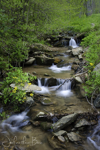
flowers trees green fall water grass yellow creek flow waterfall nikon stream long exposure bass johnathan greenery flowing liquid goldfield goldfields d80
Small Mountain Stream
Tree's
square squareformat iphoneography instagramapp uploaded:by=instagram
A wave is trying to break out at dawn.
Pretty evening
virginia us northamerica blueridgemountains blueridgeparkway appalachianmountains
Barn, Blue Ridge Parkway
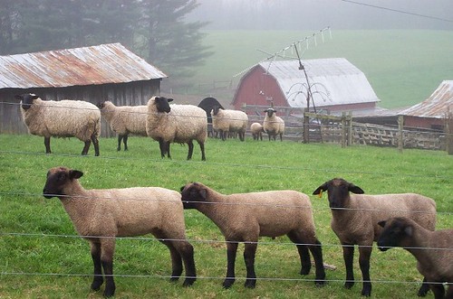
animal architecture barn virginia sheep farm 2006 va lambs blueridgemountains farmanimal springtime foggyday twtmesh220718
Foggy Spring Day
square squareformat iphoneography instagramapp uploaded:by=instagram
Wave after wave, cloud after cloud, time after time. Up close, they take on weird shapes. Like we all do, really.
square squareformat iphoneography instagramapp uploaded:by=instagram
Wave clouds all up close and personal.
june virginia barns parks oldbarns nationalparks weatheredwood blueridgeparkway tinroof 2012 rustyandcrusty carrollcounty greatskies canon24105l virginiamountains june2012 virginiabarns
Fading Farmstead
square squareformat iphoneography instagramapp uploaded:by=instagram
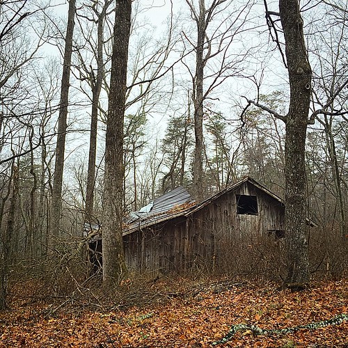
Traveling on some mountain back roads outside of Mount Airy. I believe this was right after we magically found ourselves in Virginia! #northcarolina #virginia #whoknows #groundhogmountain #dilapidated #neglected #abandoned #backroads