Elevation of Aral, Kyrgyzstan
Location: Kyrgyzstan > Talas Region > Toktogul >
Longitude: 73.016667
Latitude: 41.833333
Elevation: 871m / 2858feet
Barometric Pressure: 91KPa
Elevation Map:
Satellite Map:
Related Photos:
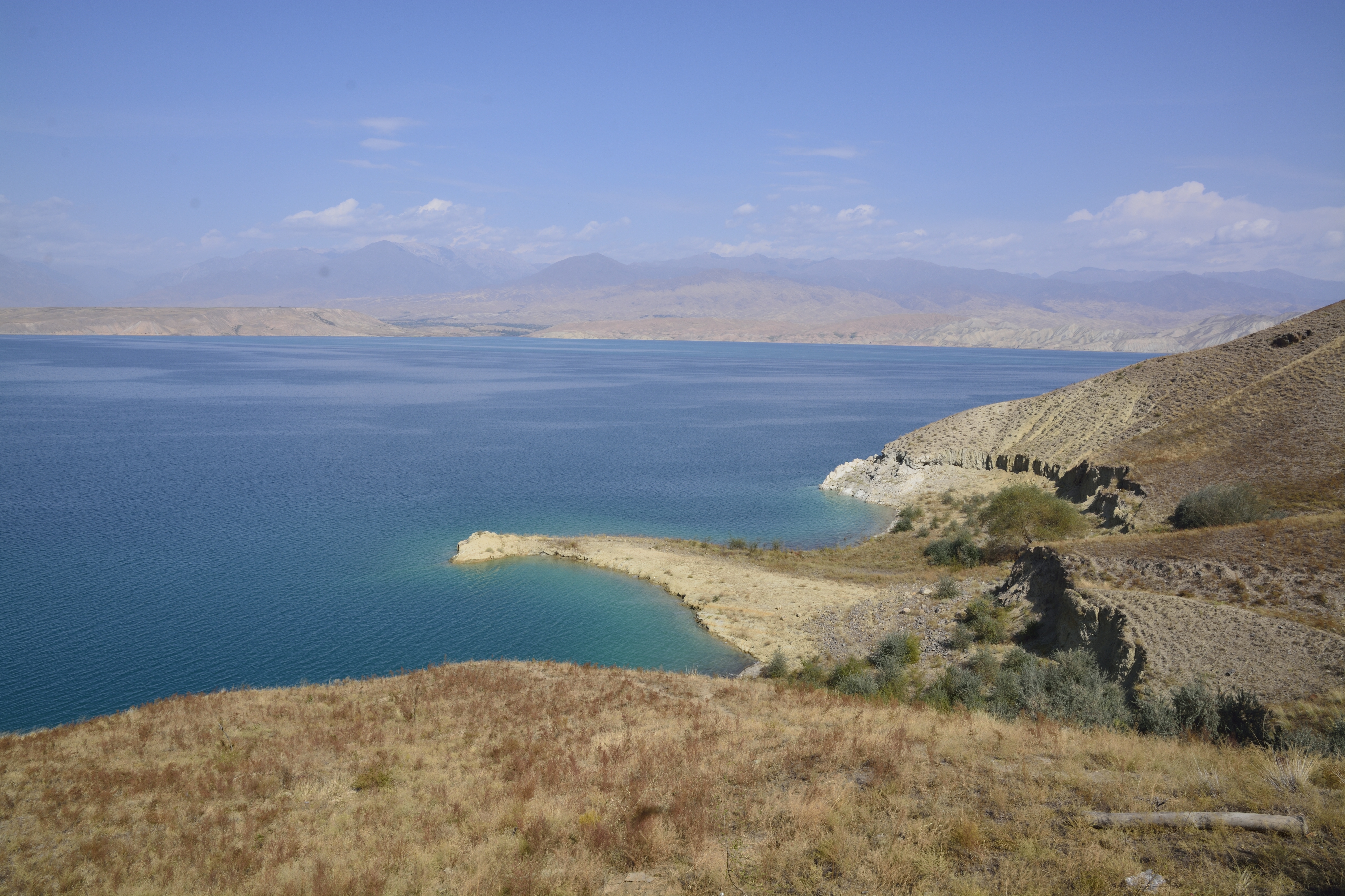
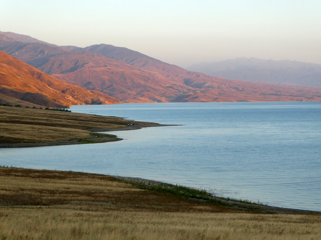
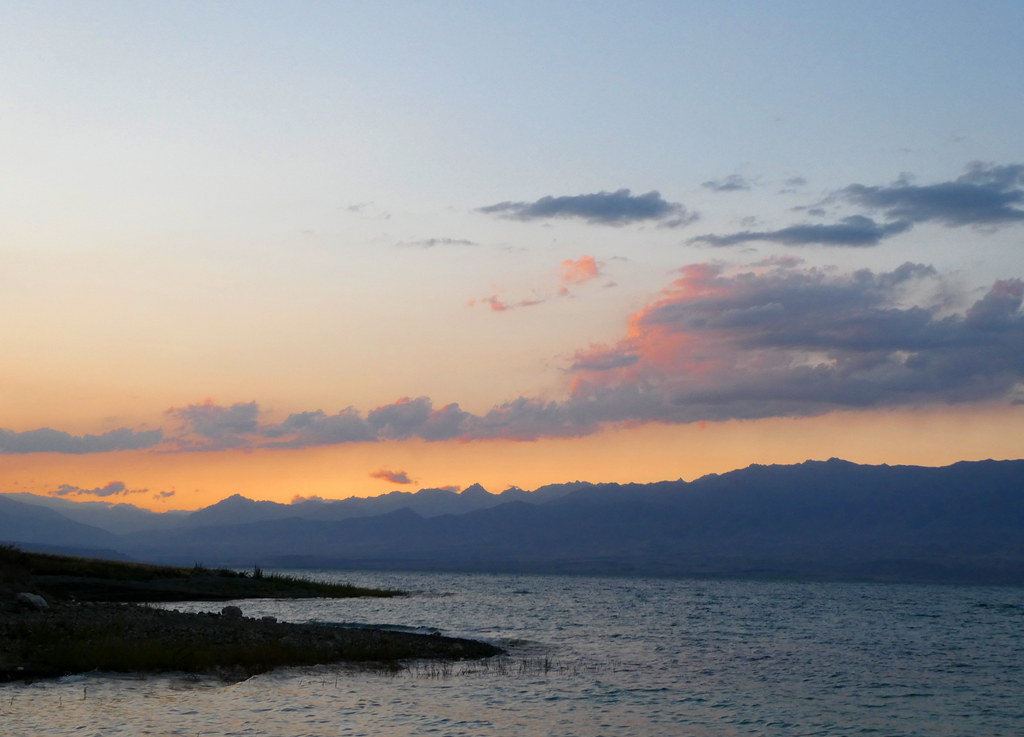
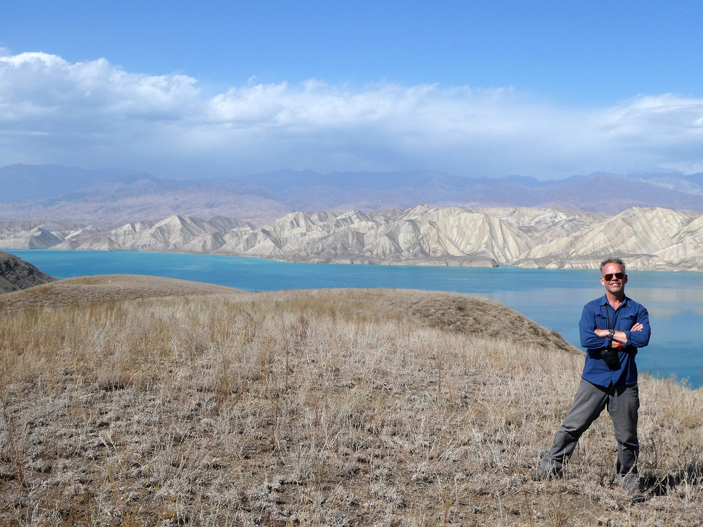
View On Way To Jalalabad Toktogul Reservoir

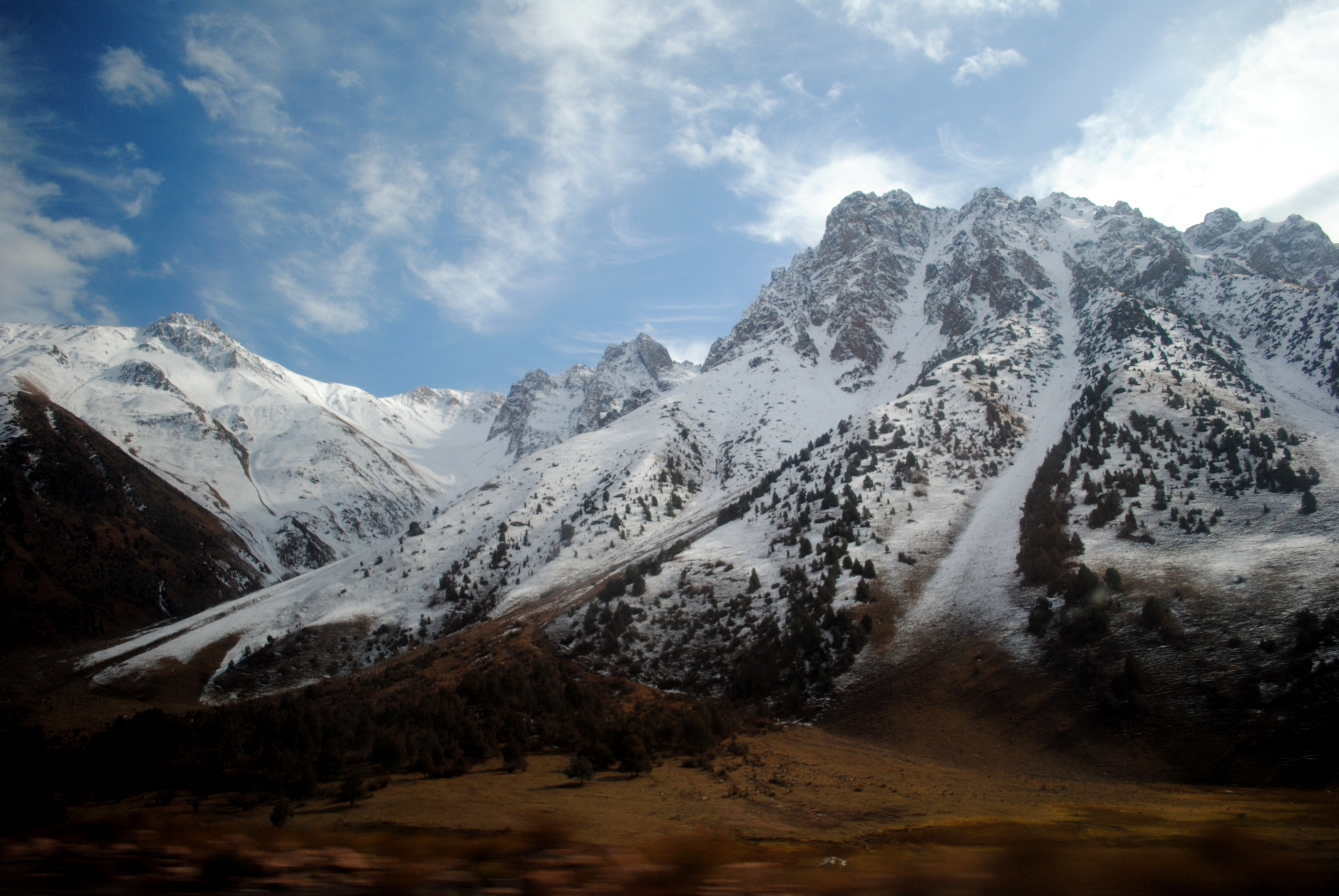
Summit Cresting
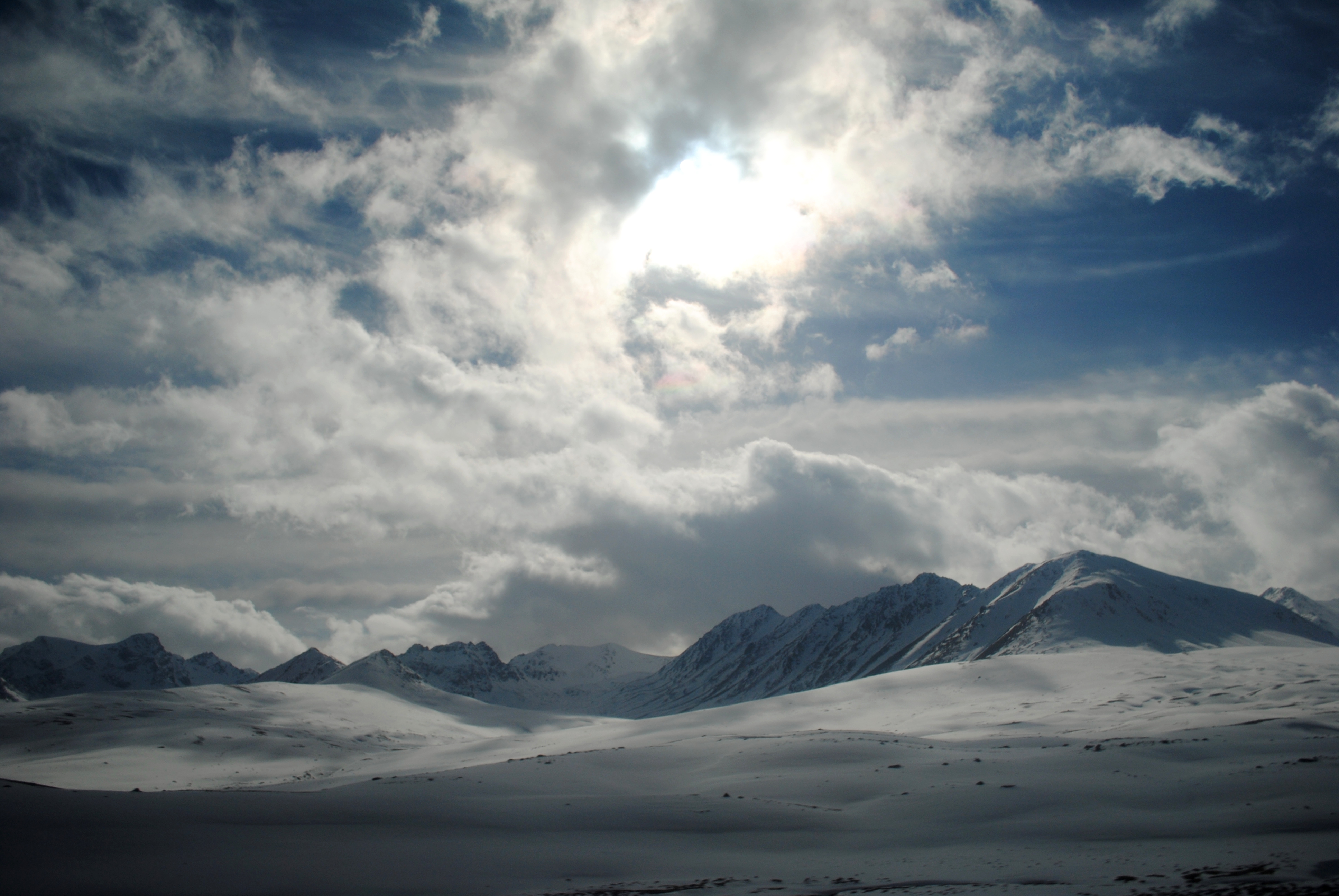
Cloud Beating
The M41
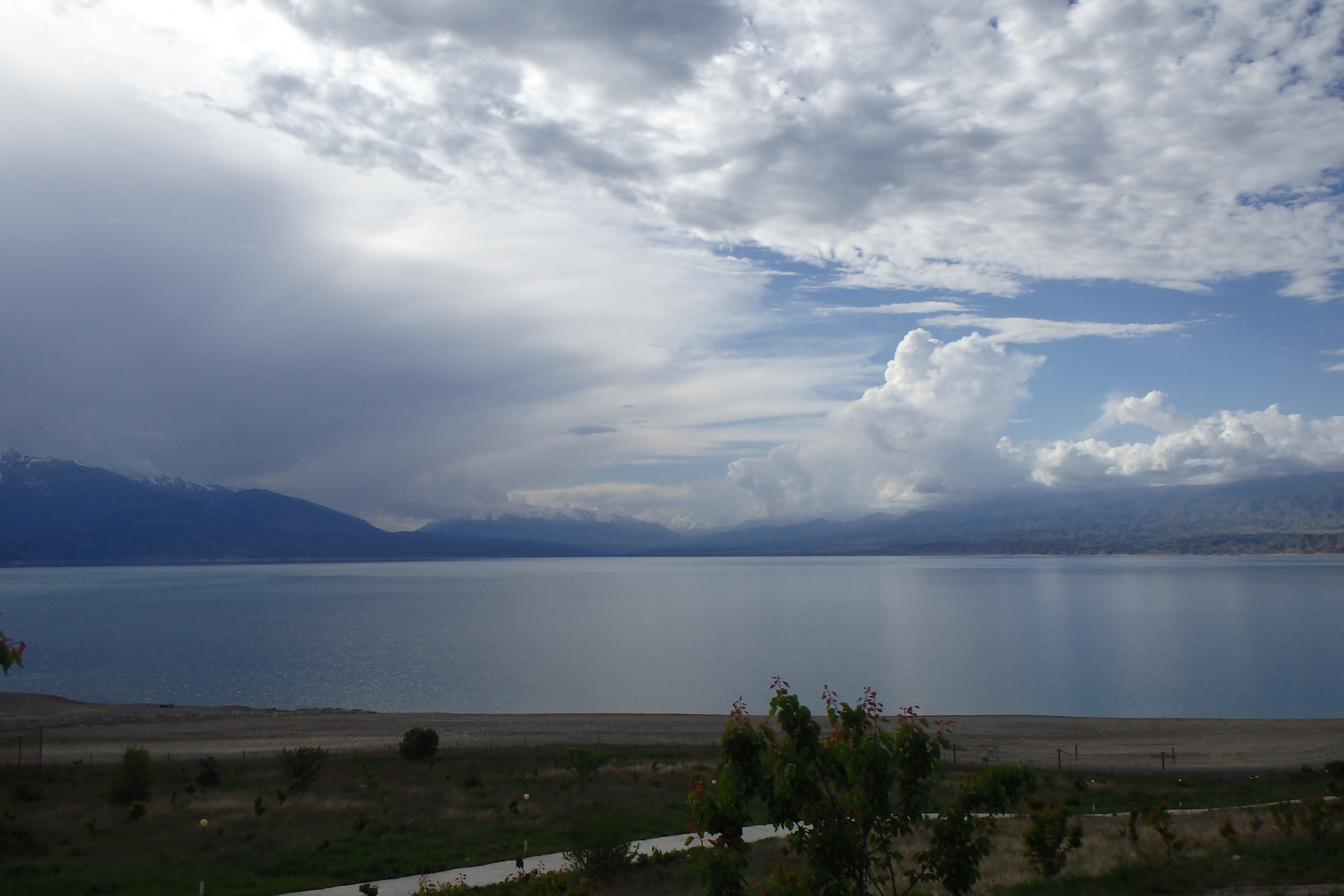
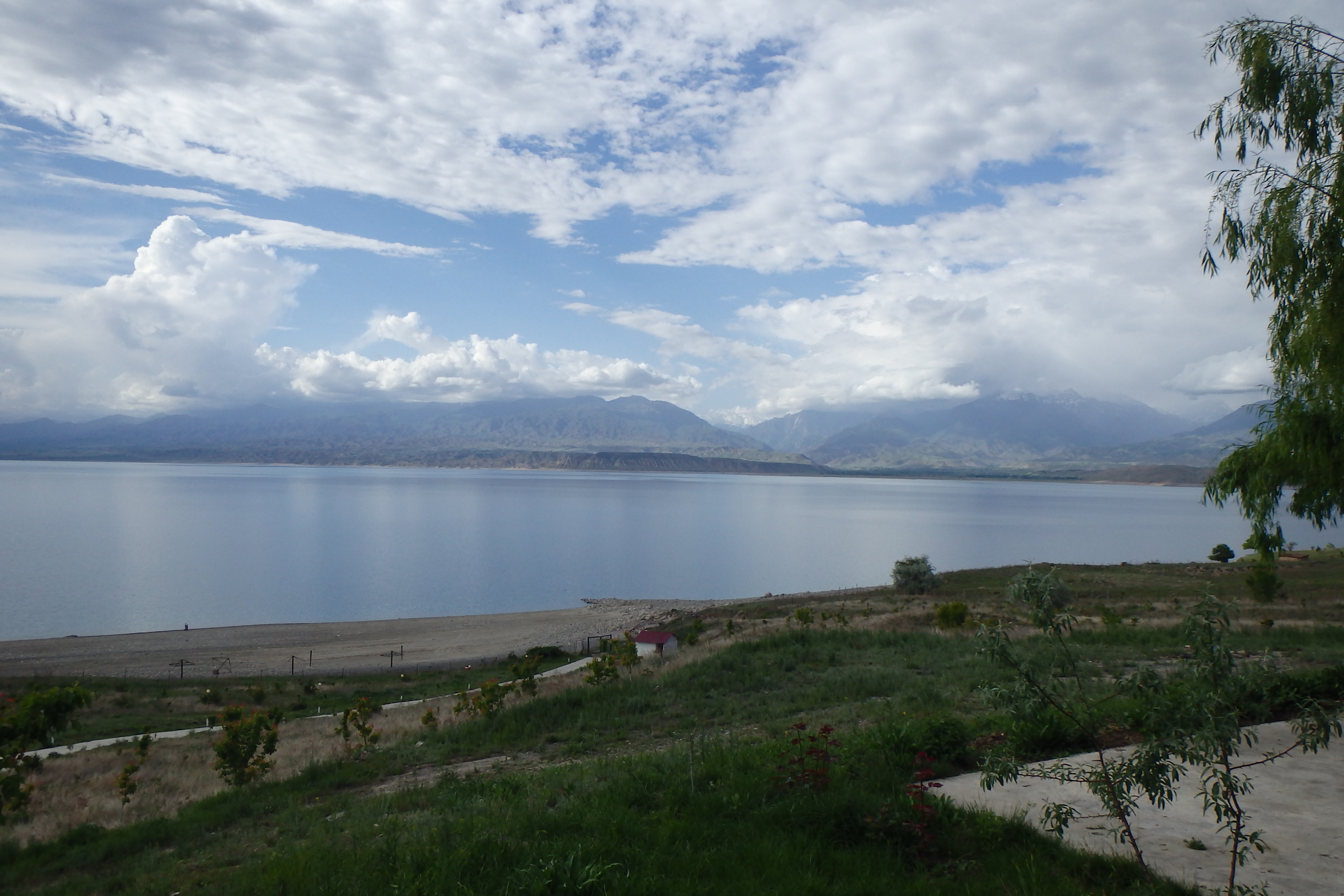
Toktogul, Kyrgyzstan
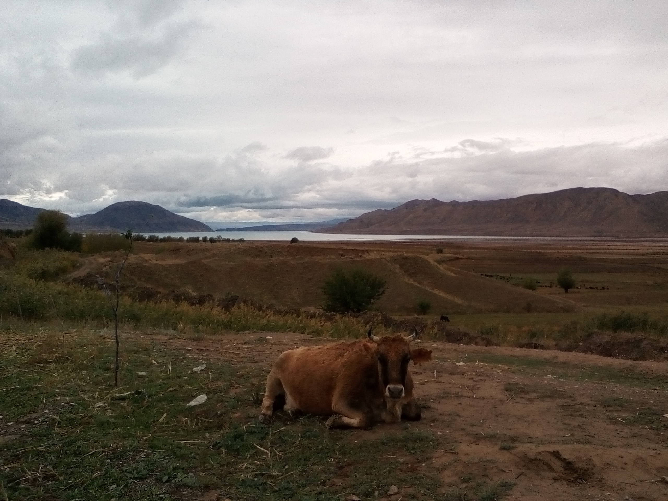
Lac de Toktogul et une habitante de sa berge
Before Karakol

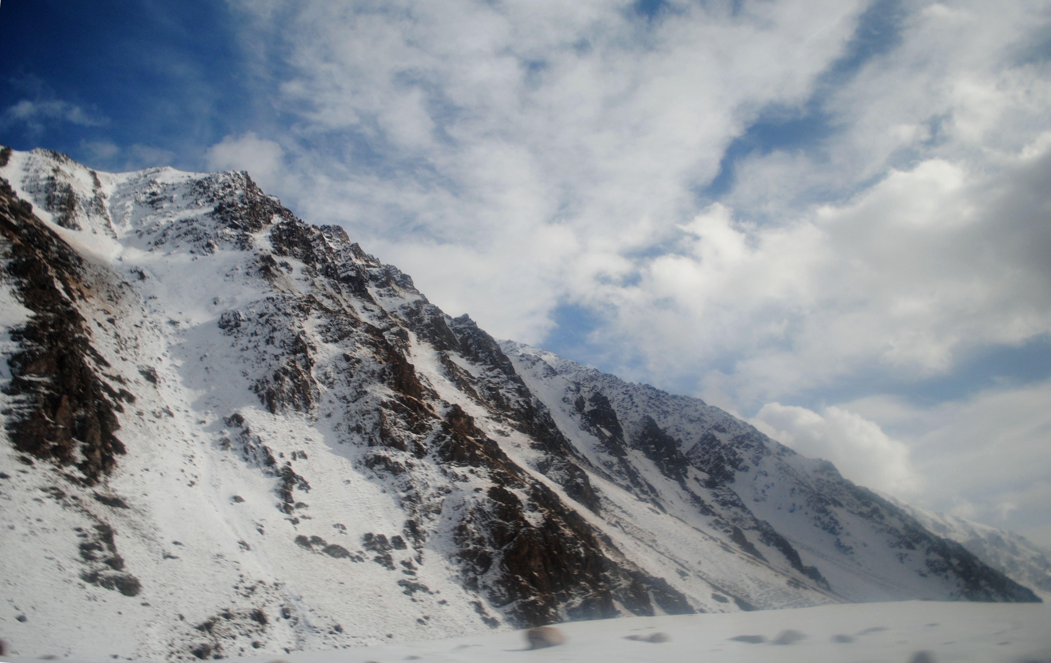
Dusty Glaciers
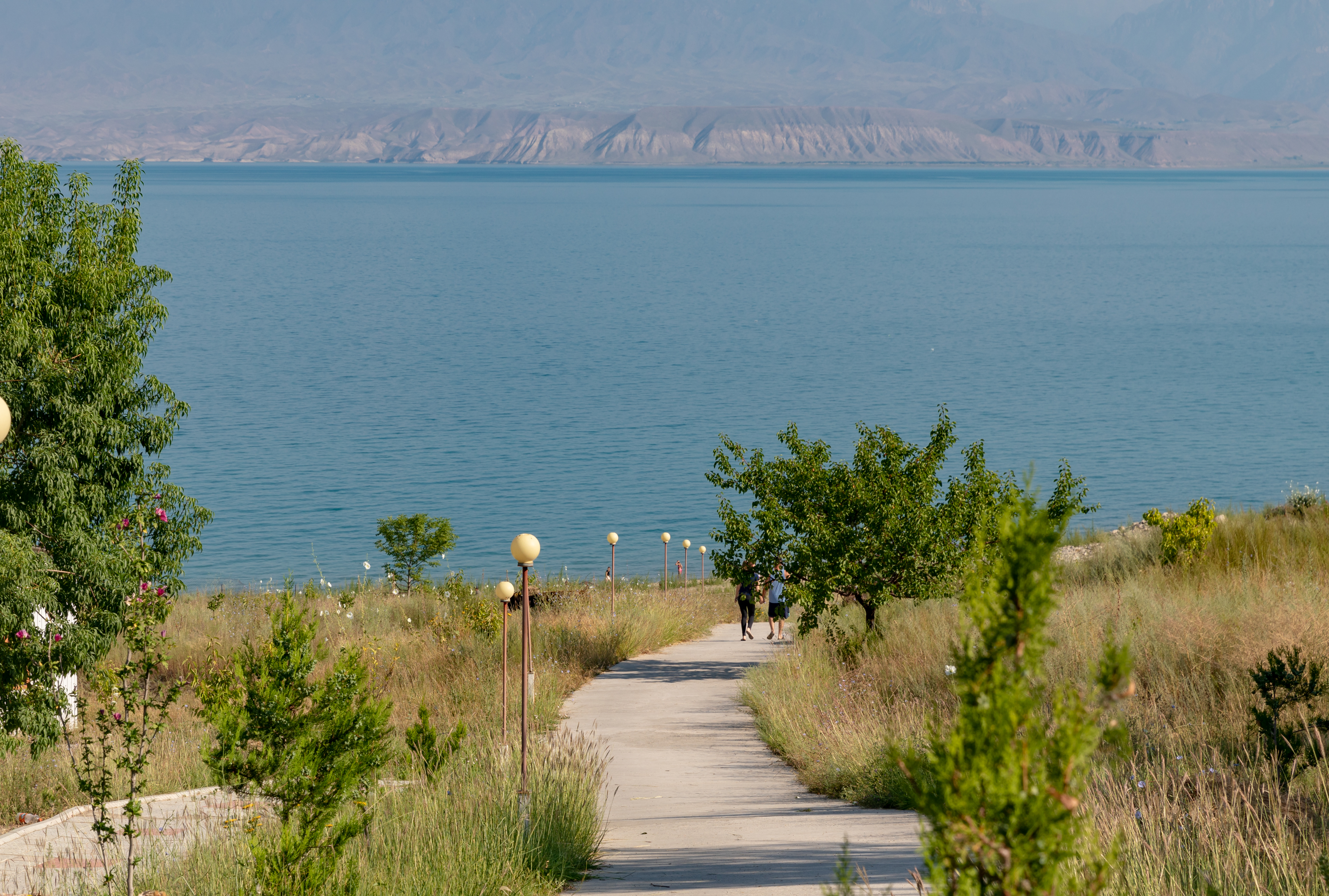
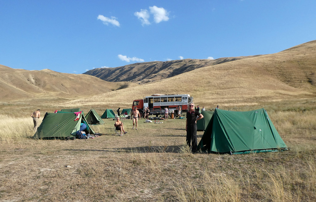
Toktogul Lake camping
Toktogul Lake camping
Toktogul Lake camping

Toktogul Lake camping
Toktogul Lake camping

Toktogul Lake camping
Kirghizistan - 46

Toktogul Lake camping
Kirghizistan - 47

Toktogul Lake camping

Toktogul Lake camping

Toktogul Lake camping
Toktogul Lake camping
Topographic Map of Aral, Kyrgyzstan
Find elevation by address:

Places near Aral, Kyrgyzstan:
Recent Searches:
- Elevation of Corso Fratelli Cairoli, 35, Macerata MC, Italy
- Elevation of Tallevast Rd, Sarasota, FL, USA
- Elevation of 4th St E, Sonoma, CA, USA
- Elevation of Black Hollow Rd, Pennsdale, PA, USA
- Elevation of Oakland Ave, Williamsport, PA, USA
- Elevation of Pedrógão Grande, Portugal
- Elevation of Klee Dr, Martinsburg, WV, USA
- Elevation of Via Roma, Pieranica CR, Italy
- Elevation of Tavkvetili Mountain, Georgia
- Elevation of Hartfords Bluff Cir, Mt Pleasant, SC, USA