Elevation of Arad, Romania
Location: Romania > Arad County >
Longitude: 21.2790047
Latitude: 46.1630452
Elevation: 101m / 331feet
Barometric Pressure: 100KPa
Elevation Map:
Satellite Map:
Related Photos:

Panoramic view of Arad

Flemish Art.

Green House

Autumn motive

Parcul Padurice

Doll & flower

Fishing on the river Mures

Lake Pădurice, Arad, Romania

Lake Pădurice, Arad, Romania

End of Day (Summer 2015)
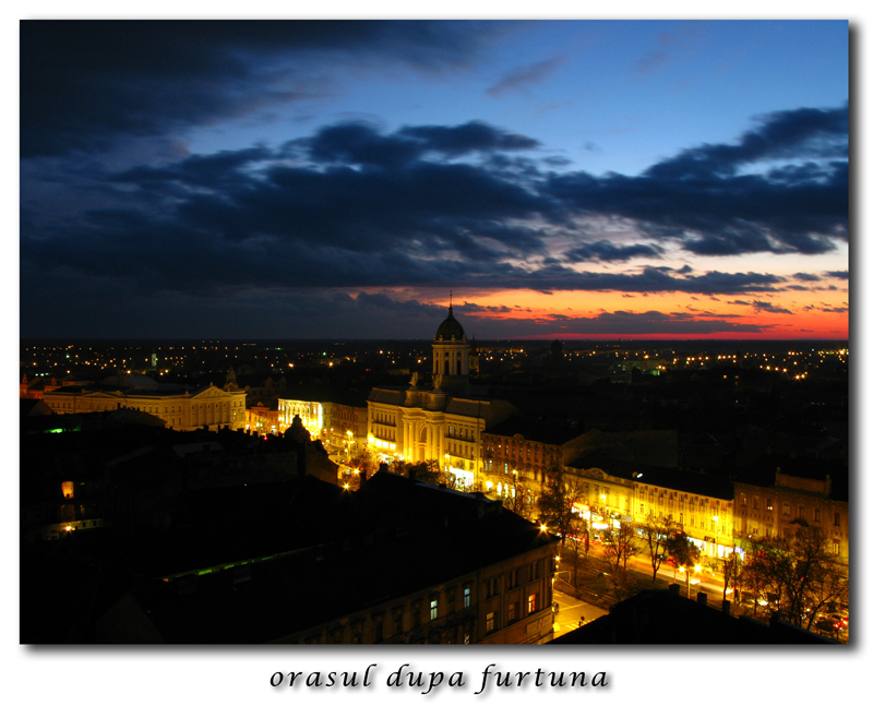
The city after the storm
Topographic Map of Arad, Romania
Find elevation by address:

Places in Arad, Romania:
Places near Arad, Romania:
Arad
Vinga
Mănăștur
Timiș County
Timisoara Airport
Arad County
Timișoara
Timisoara
Strada Constantin Dobrogeanu Gherea
Strada Constantin Dobrogeanu Gherea 38
Moșnița Nouă
Mosnita Noua
Șoșdea
Lugoj
Roşia
Dieci
Savarsin
Troaș
Vršac
Resita
Recent Searches:
- Elevation of Corso Fratelli Cairoli, 35, Macerata MC, Italy
- Elevation of Tallevast Rd, Sarasota, FL, USA
- Elevation of 4th St E, Sonoma, CA, USA
- Elevation of Black Hollow Rd, Pennsdale, PA, USA
- Elevation of Oakland Ave, Williamsport, PA, USA
- Elevation of Pedrógão Grande, Portugal
- Elevation of Klee Dr, Martinsburg, WV, USA
- Elevation of Via Roma, Pieranica CR, Italy
- Elevation of Tavkvetili Mountain, Georgia
- Elevation of Hartfords Bluff Cir, Mt Pleasant, SC, USA