Elevation of Arıcılar, Ula/Muğla, Turkey
Location: Turkey > Muğla Province > Ula >
Longitude: 28.597305
Latitude: 37.1299019
Elevation: 418m / 1371feet
Barometric Pressure: 96KPa
Elevation Map:
Satellite Map:
Related Photos:

Onychogomphus forcipatus

Onychogomphus forcipatus

Toparlar waterfall pool
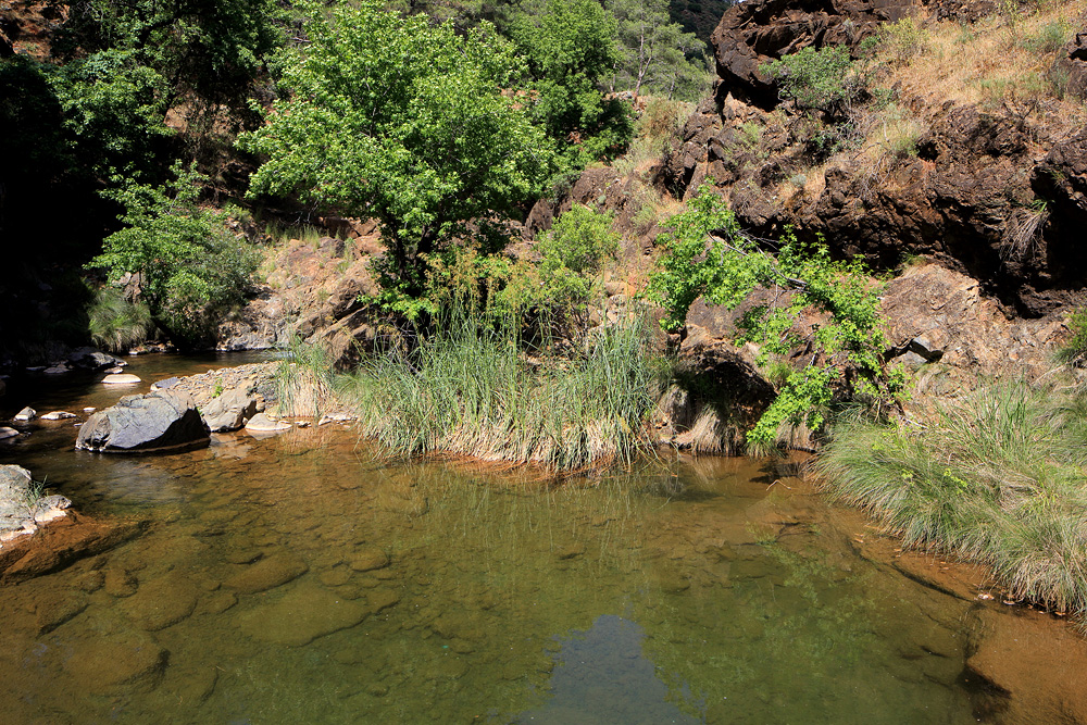
Toparlar waterfall pool
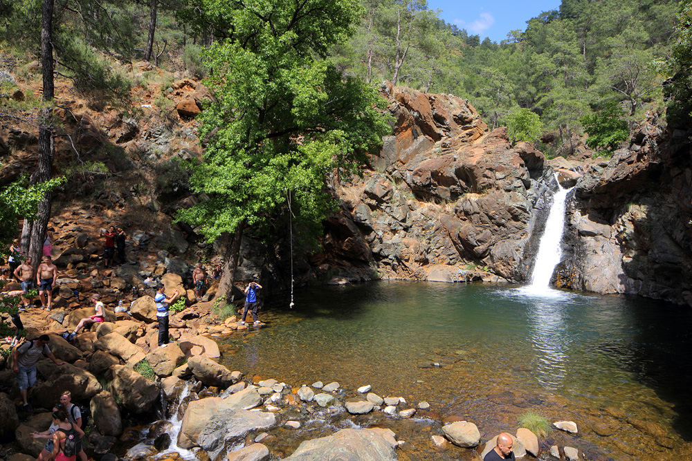
Toparlar waterfall

Toparlar waterfall

Toparlar waterfall

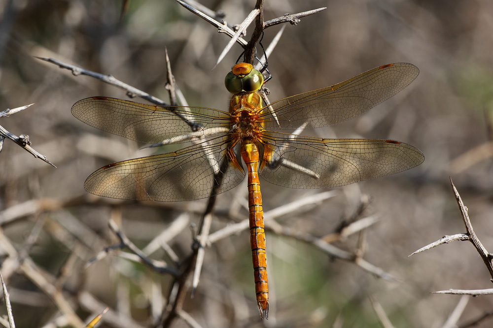
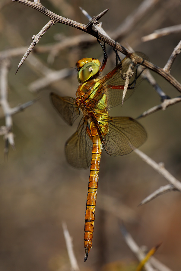
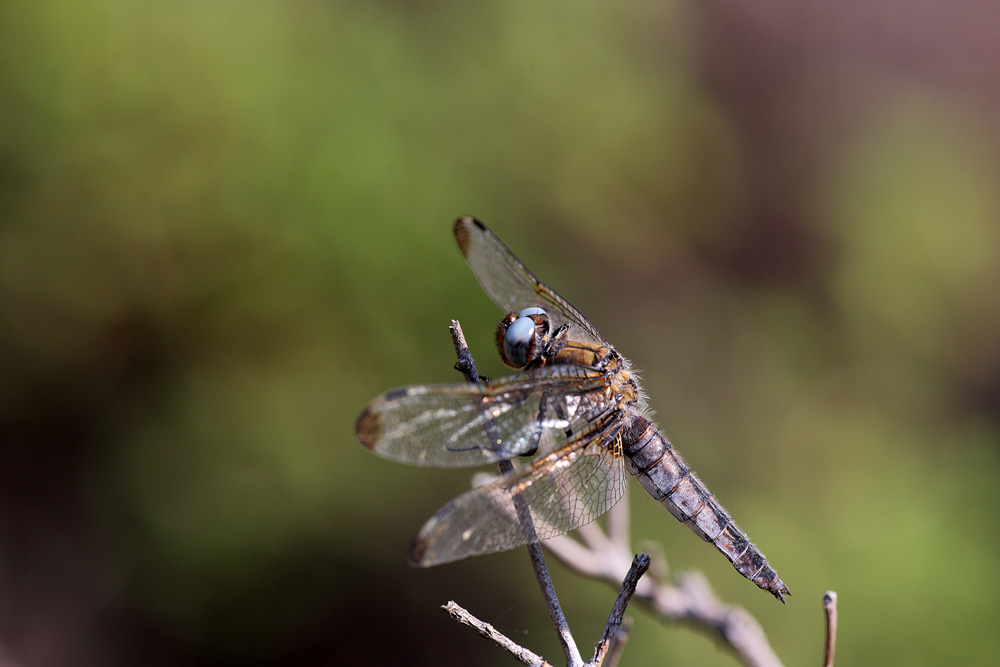
Sympetrum striolatum

Stenopogon sp

Choerades sp

Vanessa cardui

Robberfly with true bug

Stenopogon sp

Stenopogon sp

Polyphonius laevigatus

Polyphonius laevigatus

Taxi ride to Dalaman
Aeshna isoceles
Aeshna isoceles

Orthetrum coerulescens

Onychogomphus forcipatus

Libellula fulva

Aeshna isoceles

Orthetrum coerulescens

Libellula fulva
Libellula fulva
Topographic Map of Arıcılar, Ula/Muğla, Turkey
Find elevation by address:

Places in Arıcılar, Ula/Muğla, Turkey:
Places near Arıcılar, Ula/Muğla, Turkey:
Arıcılar
Yaylasöğüt
Kavakçalı
Yaylasöğüt
Kavakçalı
Kıyra
Gölcük
Balcılar
Gölcük
Kıra
Balcılar
Namnam Kasrı
Turgut
Armutçuk
Armutcuk
Turgut
Çiçekli
Çiçekli
Karabörtlen
Muğla Province
Recent Searches:
- Elevation of Corso Fratelli Cairoli, 35, Macerata MC, Italy
- Elevation of Tallevast Rd, Sarasota, FL, USA
- Elevation of 4th St E, Sonoma, CA, USA
- Elevation of Black Hollow Rd, Pennsdale, PA, USA
- Elevation of Oakland Ave, Williamsport, PA, USA
- Elevation of Pedrógão Grande, Portugal
- Elevation of Klee Dr, Martinsburg, WV, USA
- Elevation of Via Roma, Pieranica CR, Italy
- Elevation of Tavkvetili Mountain, Georgia
- Elevation of Hartfords Bluff Cir, Mt Pleasant, SC, USA