Elevation of Antutot, Nueva Vizcaya, Philippines
Location: Philippines > Cagayan Valley > Nueva Vizcaya >
Longitude: 121.211121
Latitude: 16.3392534
Elevation: 1332m / 4370feet
Barometric Pressure: 86KPa
Elevation Map:
Satellite Map:
Related Photos:

Sunset near Bambag, Nueva Vizcaya, Philippines

Ferris-wheel.
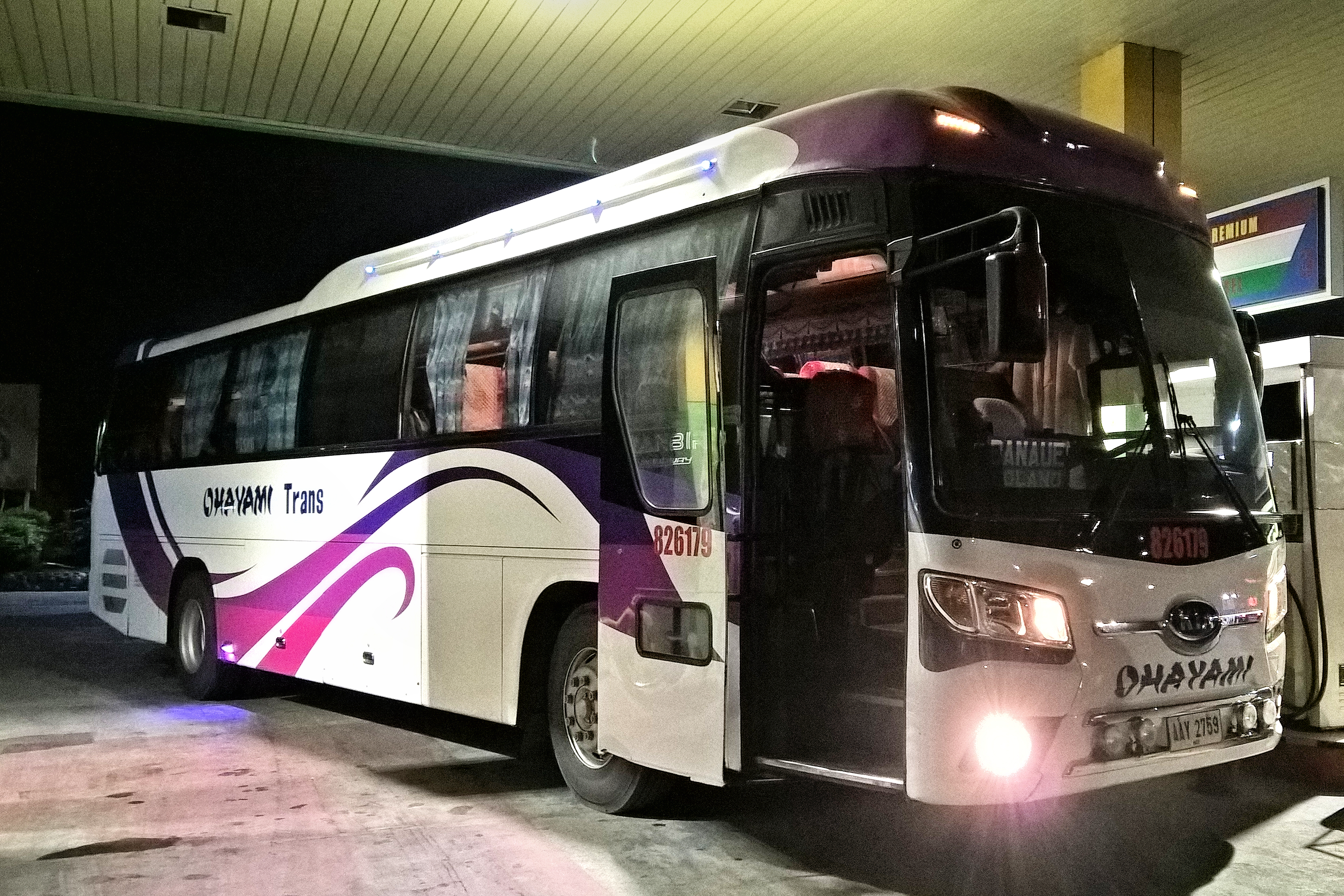
Ohayami Trans 826179
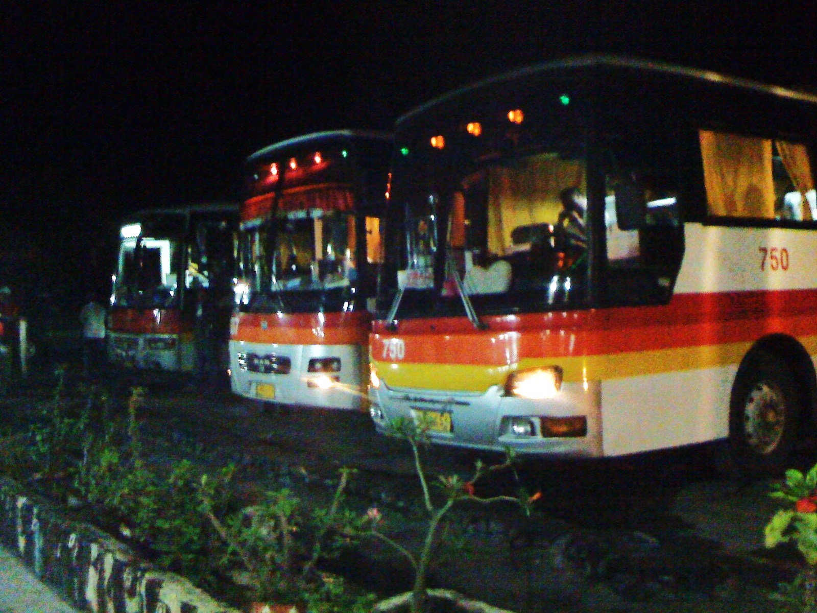
Victory Liner 2008

©dennisdancel #huawei #p9

Ohayami Trans 1748

Patio Zenaida.

The Rest House.

Comfort Room sign.

So awesome!!!

Le Guns!

Fire!
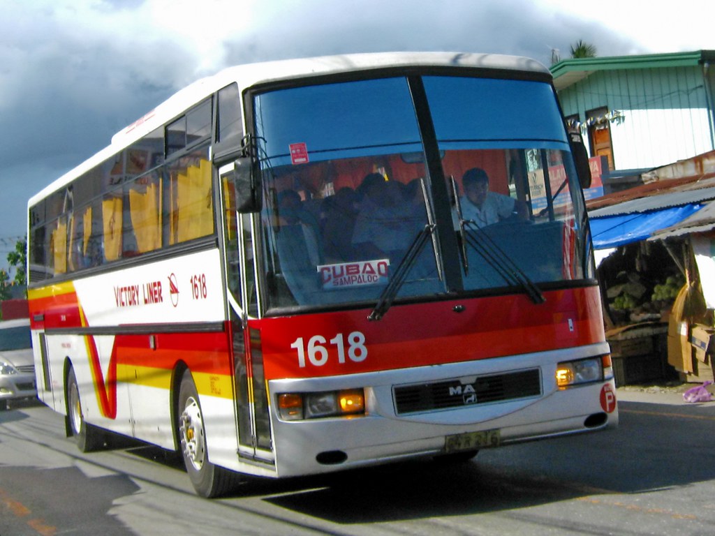
Victory Liner

Victory Liner
Topographic Map of Antutot, Nueva Vizcaya, Philippines
Find elevation by address:

Places near Antutot, Nueva Vizcaya, Philippines:
Nueva Vizcaya
Cordon
Mabuslo Elementary School
Pallas Elementary School
Bambang
Buag (pob.)
Kasibu
Bambang
Saint Mary's University
Barangay Don Mariano Marcos
Bayombong
National Road
Nueva Vizcaya Provincial Capitol
42 Luna St
Masoc Elementary School
Tambunting Pawnshop - Barangay Poblacion South
Solano
Philippine Science High School - Cagayan Valley Campus
Barangay Masoc
Casat National High School
Recent Searches:
- Elevation of Corso Fratelli Cairoli, 35, Macerata MC, Italy
- Elevation of Tallevast Rd, Sarasota, FL, USA
- Elevation of 4th St E, Sonoma, CA, USA
- Elevation of Black Hollow Rd, Pennsdale, PA, USA
- Elevation of Oakland Ave, Williamsport, PA, USA
- Elevation of Pedrógão Grande, Portugal
- Elevation of Klee Dr, Martinsburg, WV, USA
- Elevation of Via Roma, Pieranica CR, Italy
- Elevation of Tavkvetili Mountain, Georgia
- Elevation of Hartfords Bluff Cir, Mt Pleasant, SC, USA