Elevation of Angat Dam, Norzagaray, Bulacan, Philippines
Location: Philippines > Central Luzon > Bulacan >
Longitude: 121.160488
Latitude: 14.9096816
Elevation: 204m / 669feet
Barometric Pressure: 99KPa
Elevation Map:
Satellite Map:
Related Photos:

82Jp T2 10c+L-ET_Lznu_web
sun block

Drops of moisture

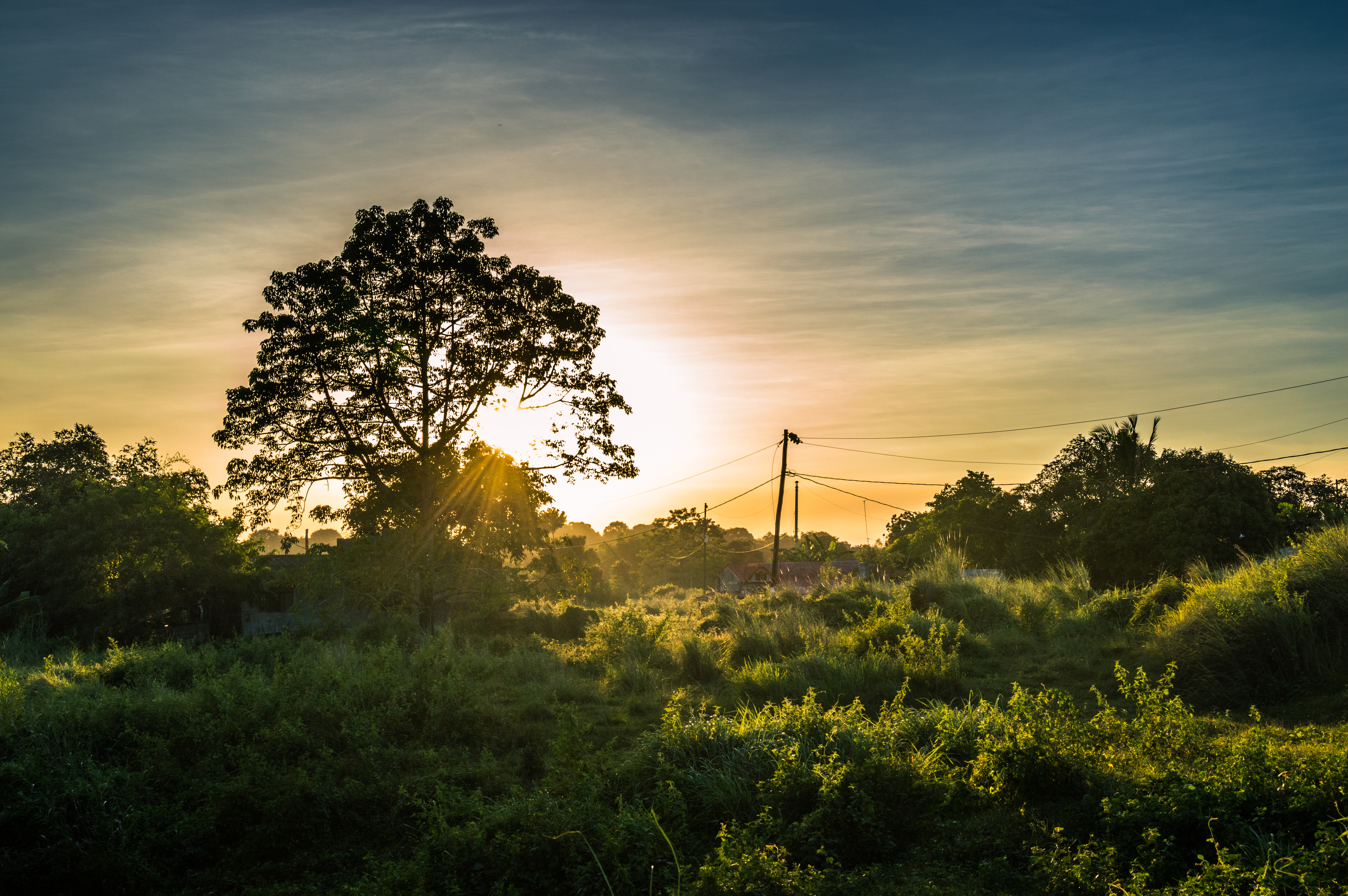
Angat River
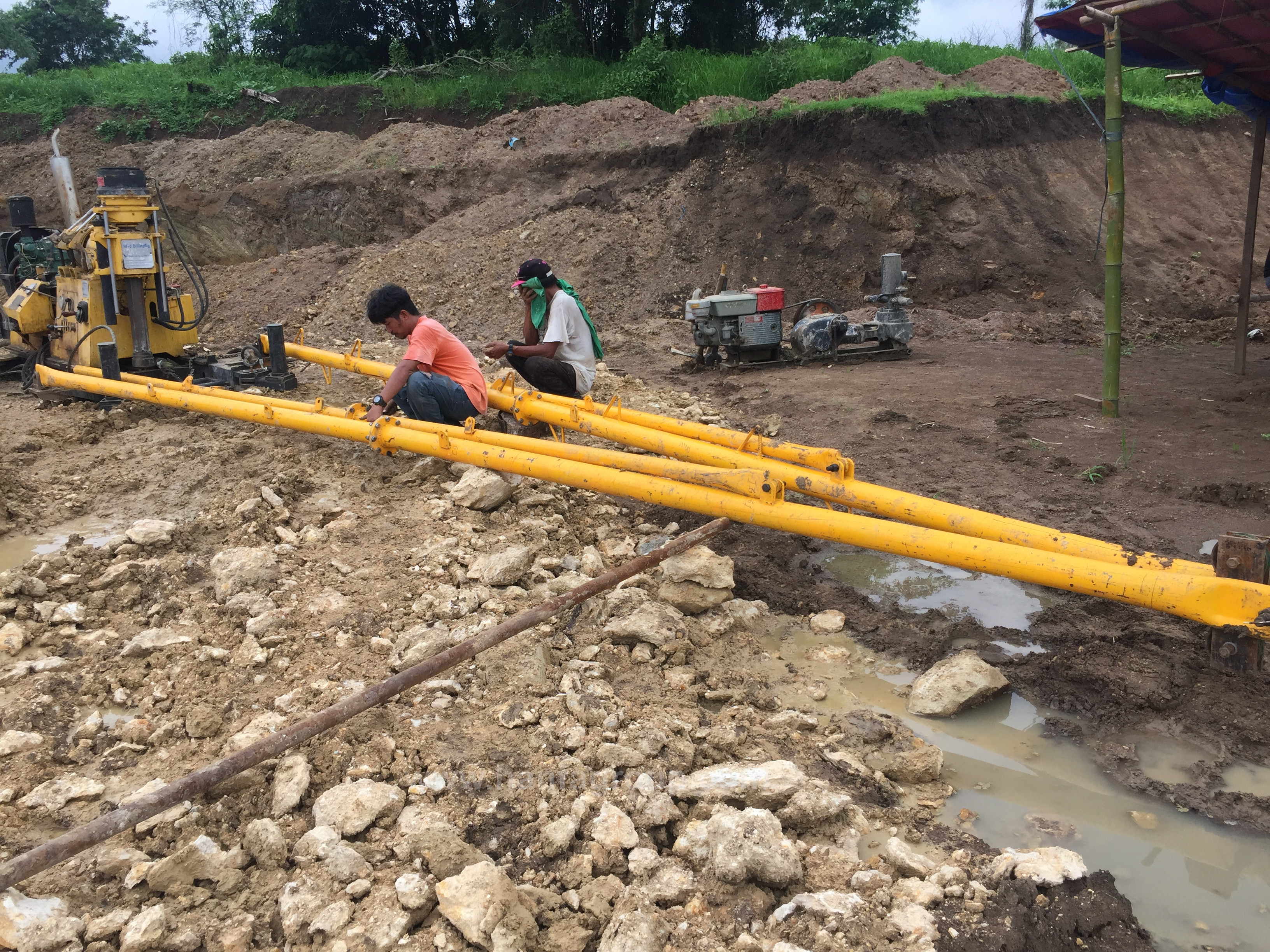
warmly celebrate the opening ceremony of HFL company drilling service project of zhengzhou hanfa philippines branch!

my trail run workout
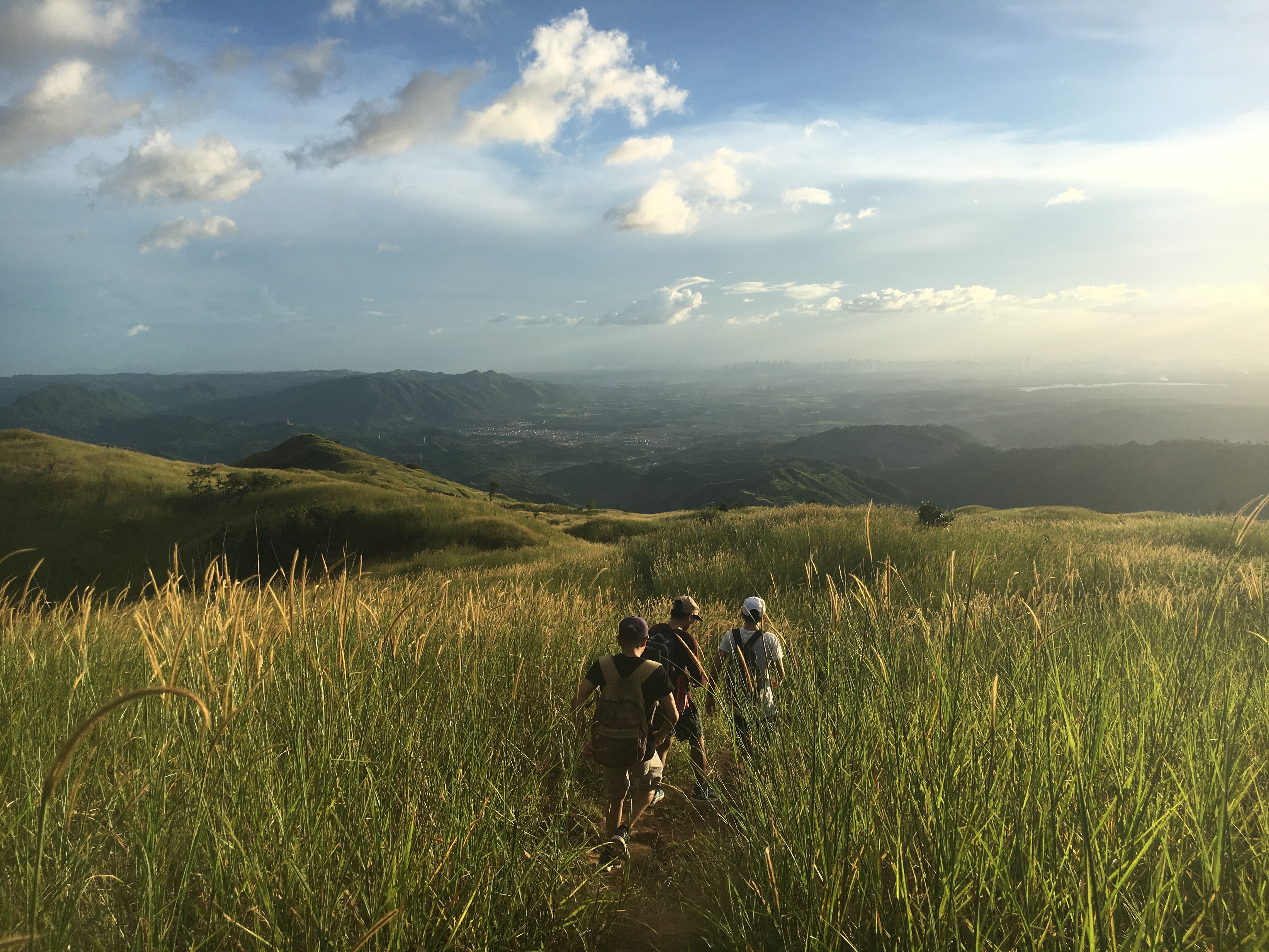
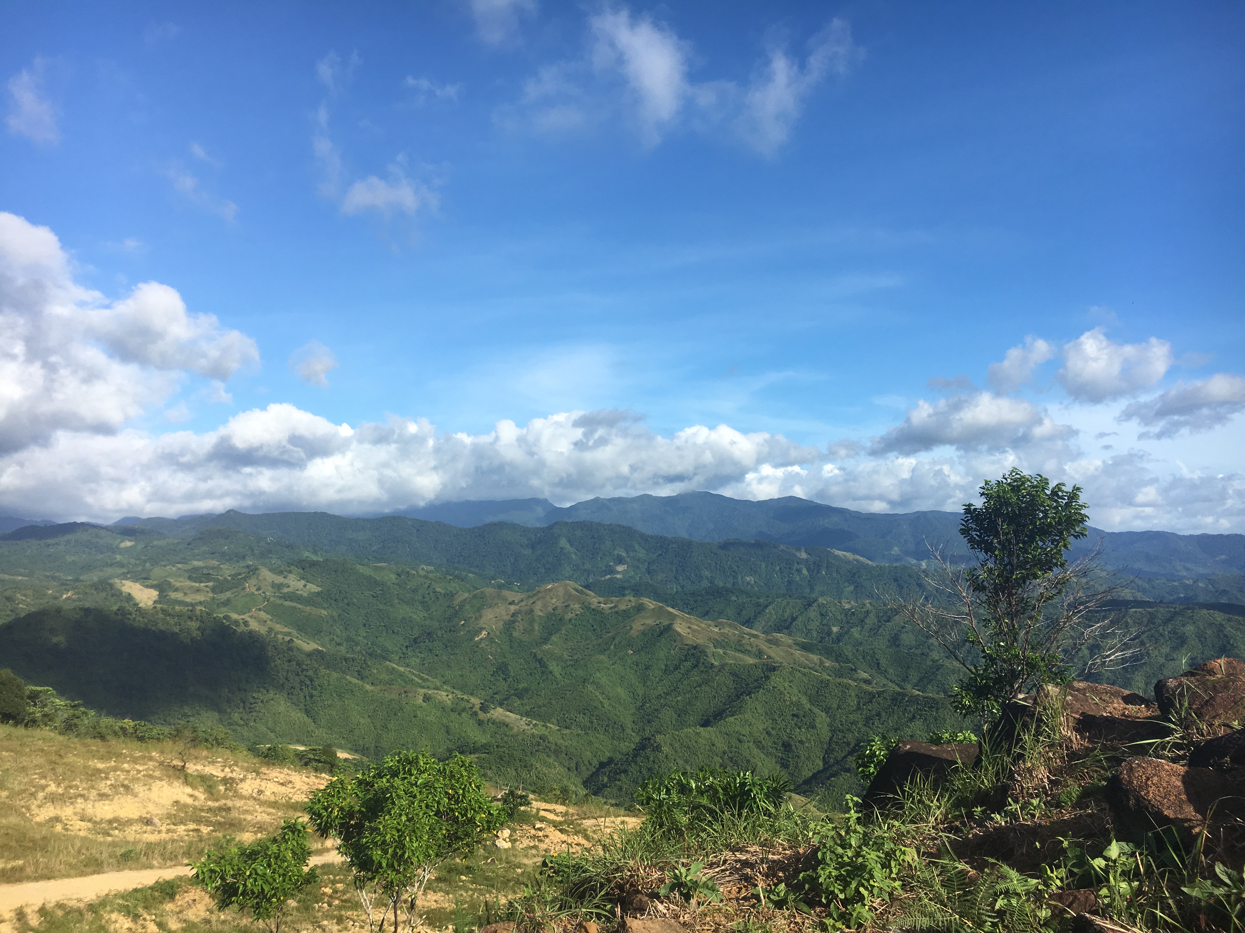
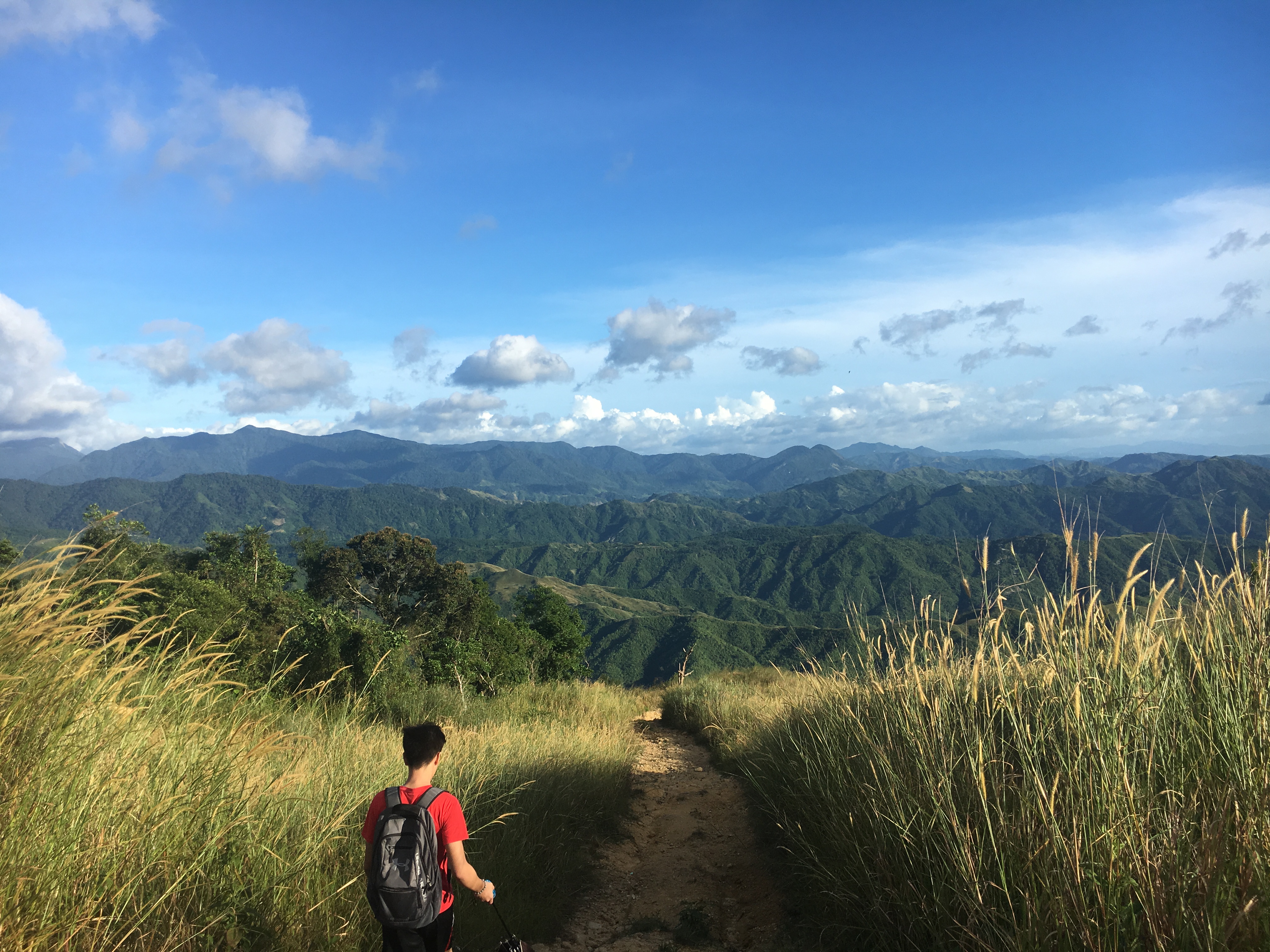
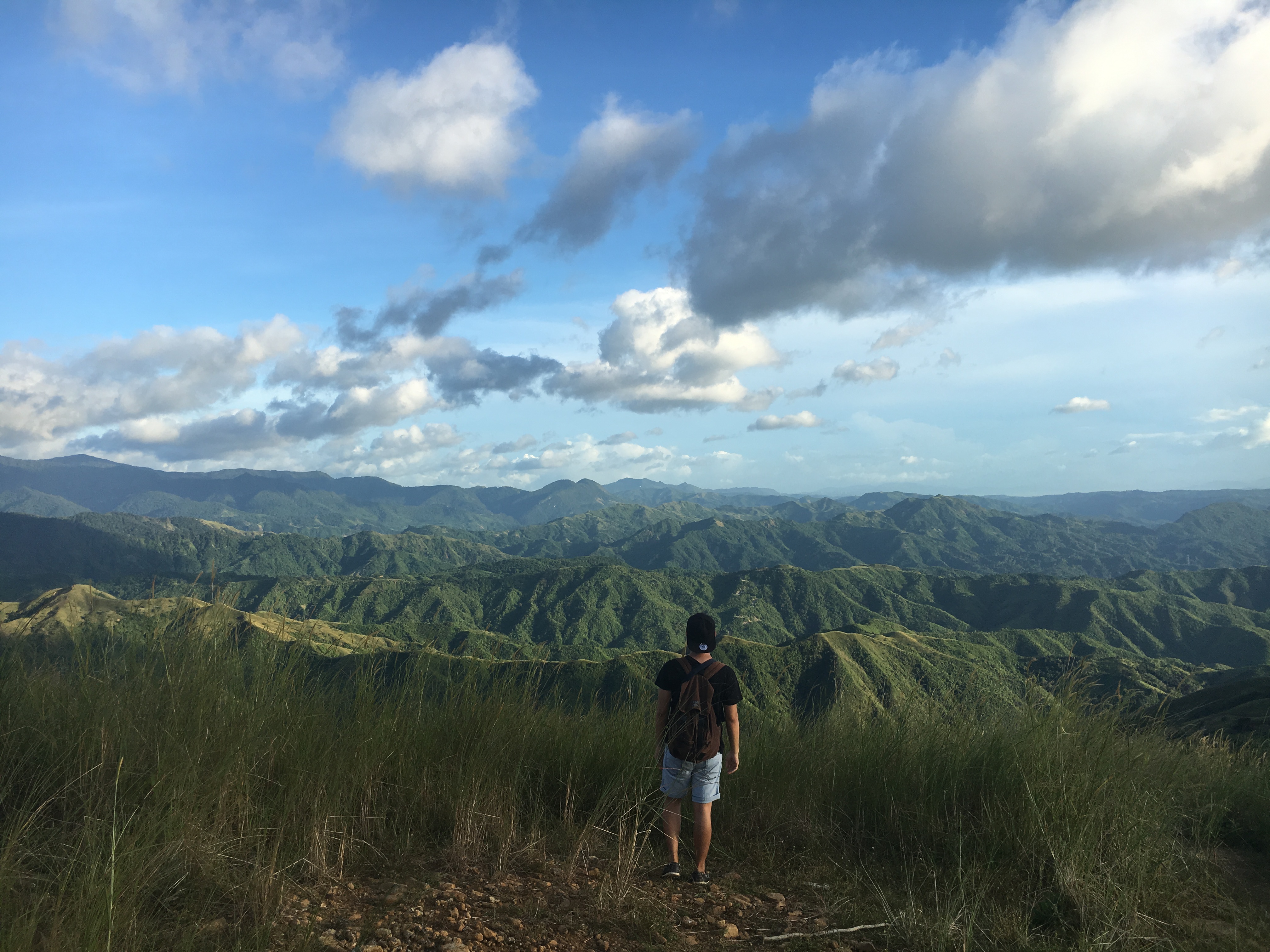
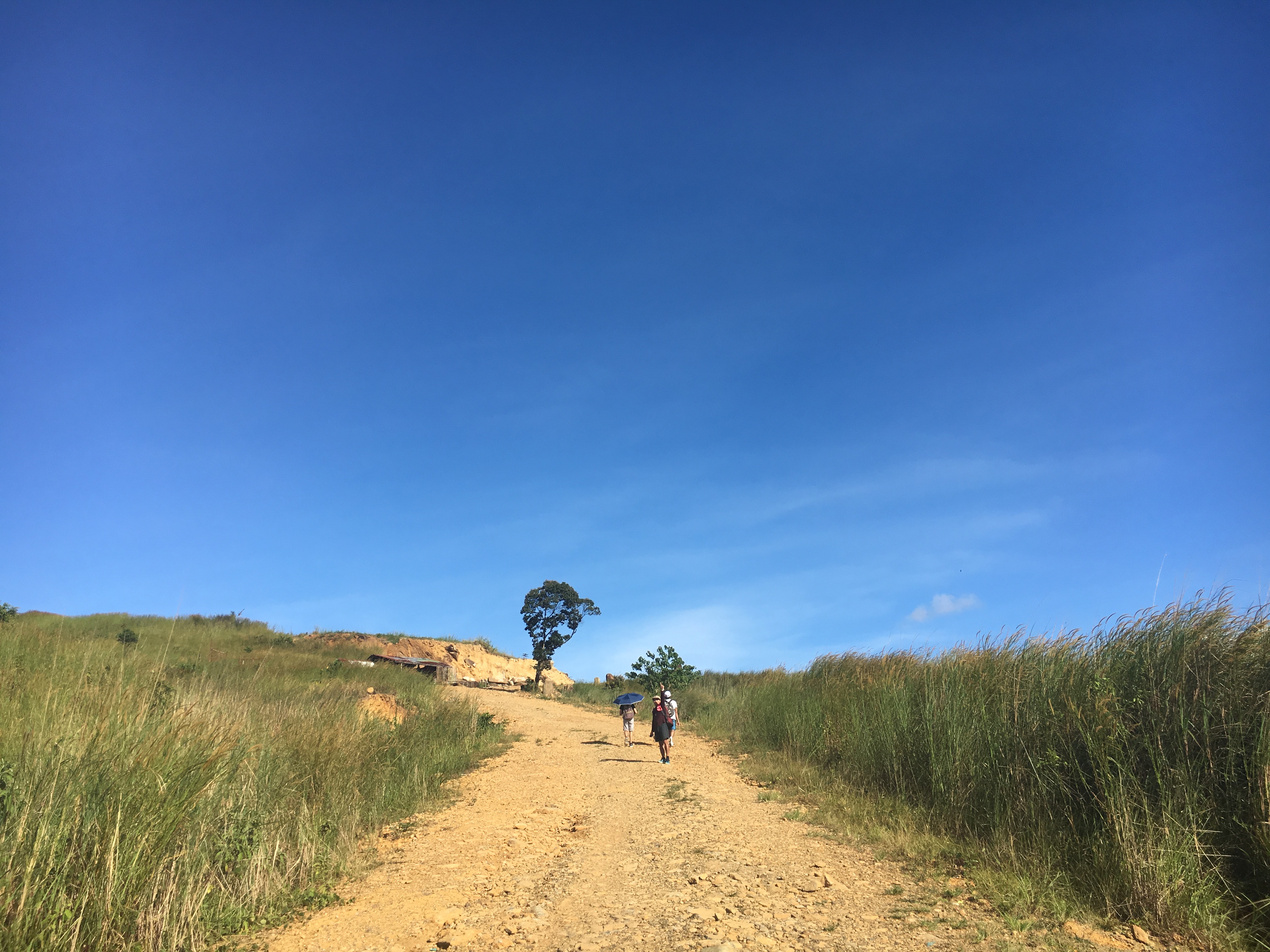
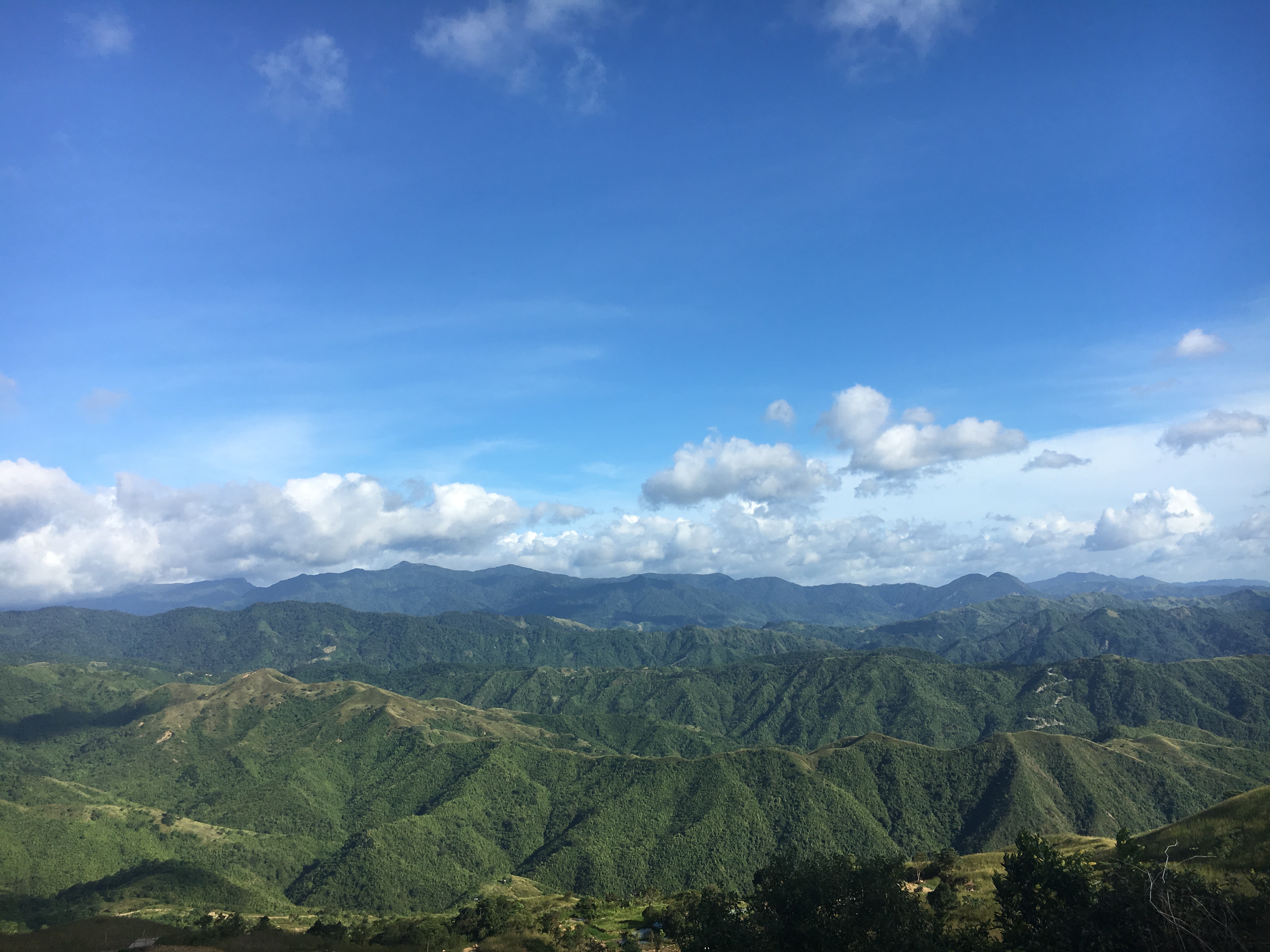
Mt. Balagbag 103016
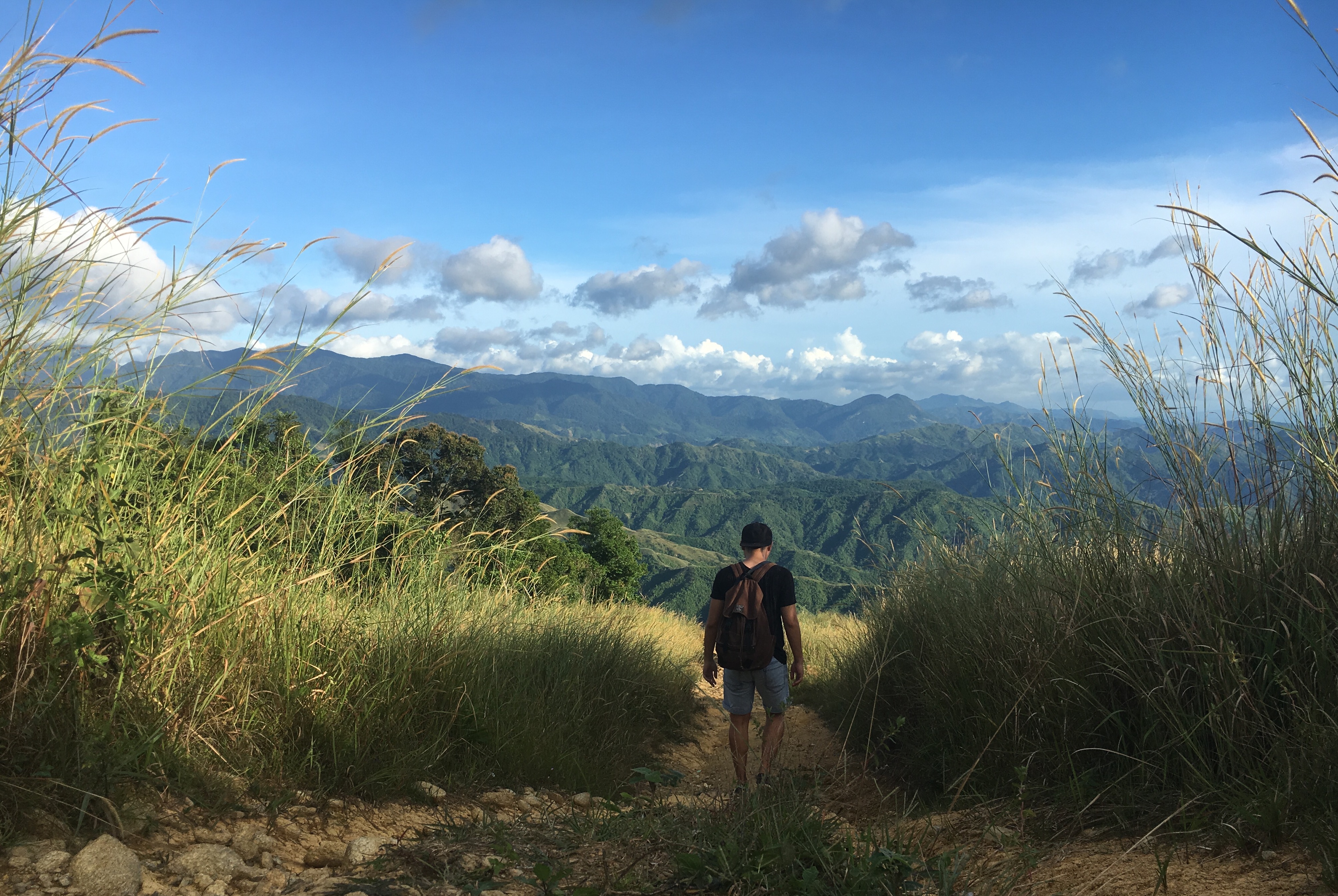
Mt. Balagbag 103016
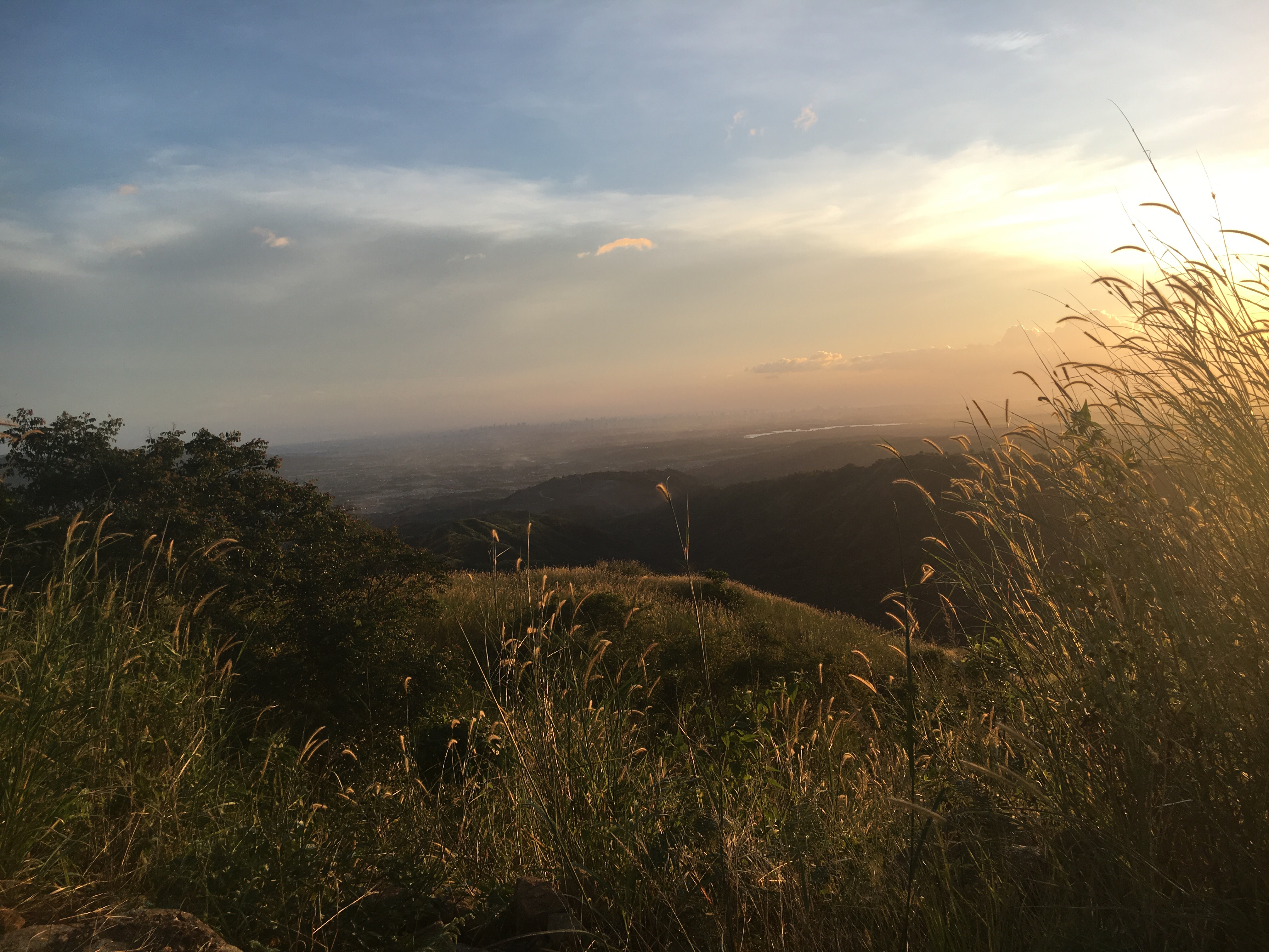
Mt. Balagbag 103016
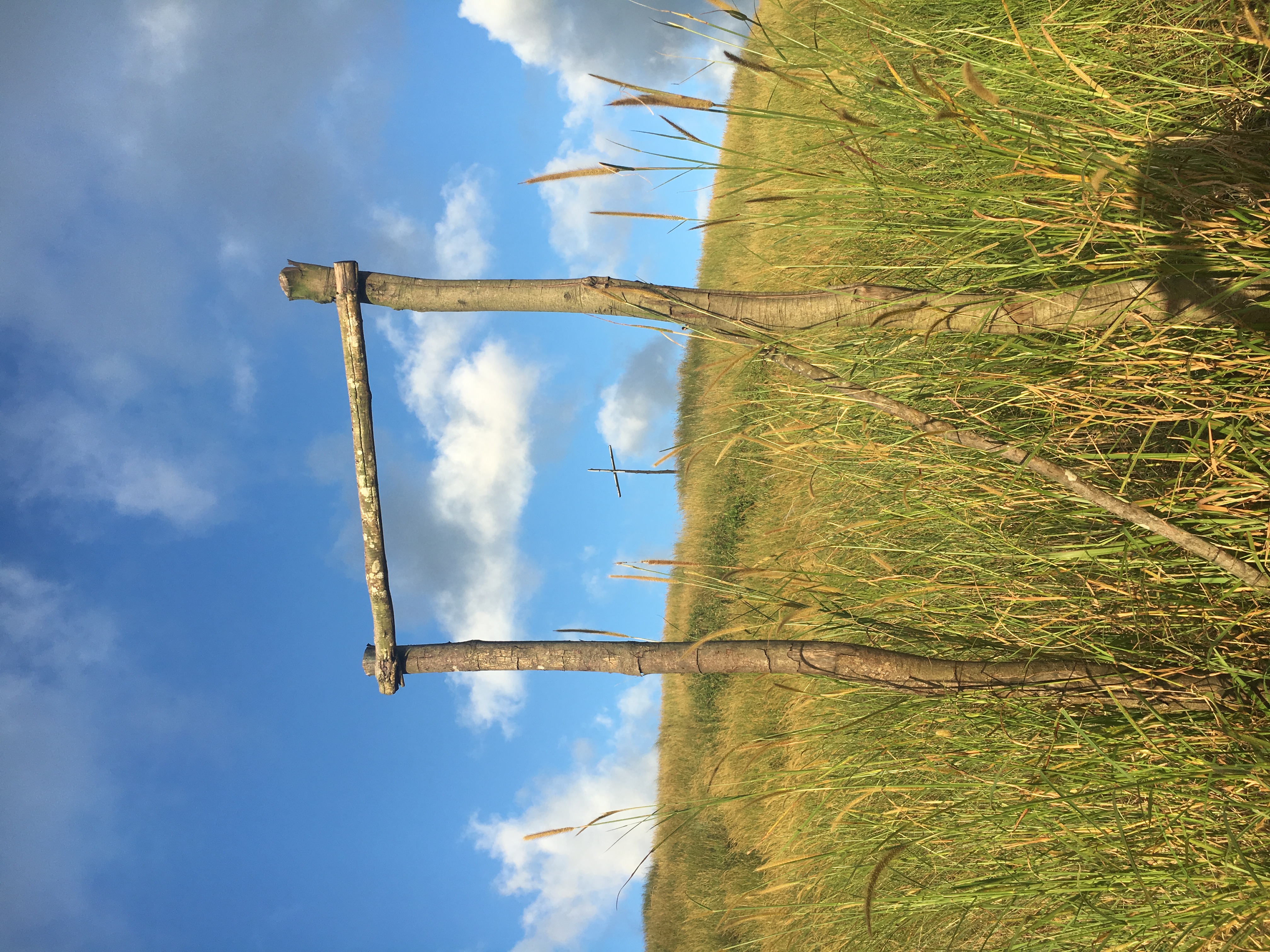
Mt. Balagbag 103016
Mt. Balagbag 103016

Mt. Balagbag 103016
Mt. Balagbag 103016
Mt. Balagbag 103016
Mt. Balagbag 103016
Mt. Balagbag 103016
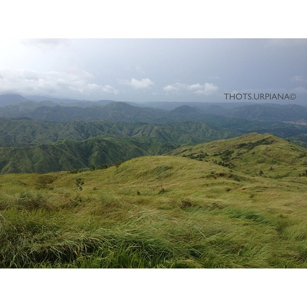
Mt. Balagbag #balagbag #mountain #mountaineering
Topographic Map of Angat Dam, Norzagaray, Bulacan, Philippines
Find elevation by address:

Places near Angat Dam, Norzagaray, Bulacan, Philippines:
Norzagaray
Republic Aggregates Bulacan
San Mateo Elementary School
San Mateo
Bigte
Paradise Iii
Bo. Obrero, Minuyan, Norzagaray, Bulacan
Sunny Field Homes Subdivision
Wacuman Inc. Sanitary Landfill
Barangay Minuyan
Bigte Barangay Hall
Paradise 3 Barangay Hall
Rcd Royale Homes Bulacan
Licao-licao (end Point)
Minuyan San Jose Iemelif Church
Bba Minuyan Elementary School
San Jose Del Monte City
Video City - Sampol, San Jose Del Monte
Norzagaray Municipal Hall
Sapang Palay
Recent Searches:
- Elevation of Corso Fratelli Cairoli, 35, Macerata MC, Italy
- Elevation of Tallevast Rd, Sarasota, FL, USA
- Elevation of 4th St E, Sonoma, CA, USA
- Elevation of Black Hollow Rd, Pennsdale, PA, USA
- Elevation of Oakland Ave, Williamsport, PA, USA
- Elevation of Pedrógão Grande, Portugal
- Elevation of Klee Dr, Martinsburg, WV, USA
- Elevation of Via Roma, Pieranica CR, Italy
- Elevation of Tavkvetili Mountain, Georgia
- Elevation of Hartfords Bluff Cir, Mt Pleasant, SC, USA