Elevation of Anderson St, Limestone, TN, USA
Location: United States > Tennessee > Washington County > Limestone >
Longitude: -82.625193
Latitude: 36.2265
Elevation: 449m / 1473feet
Barometric Pressure: 96KPa
Elevation Map:
Satellite Map:
Related Photos:

Washington County, TN Courthouse - Jonesboro, TN

Feild View

Foggy View.

Ebenezer Methodist Church

First Presbyterian Church - Jonesborough, TN

First Presbyterian Church - Jonesborough, TN
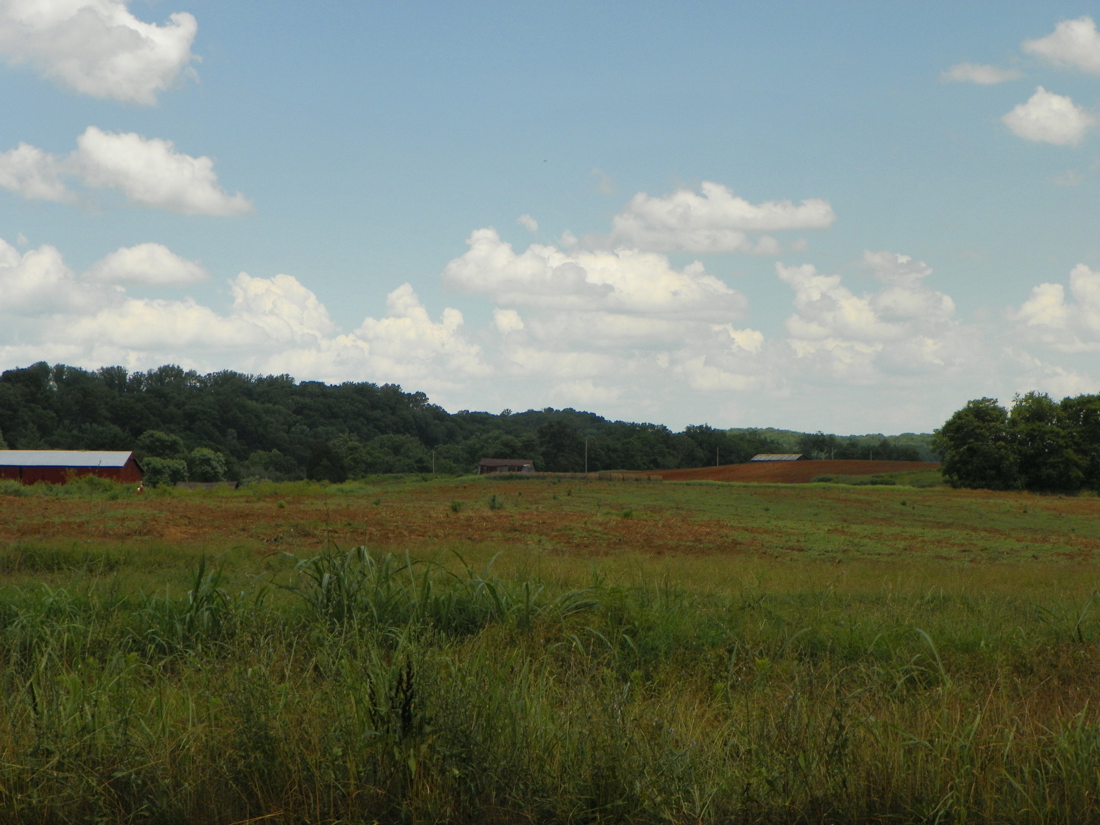
View of Earnest Farms Area 05

view from seats
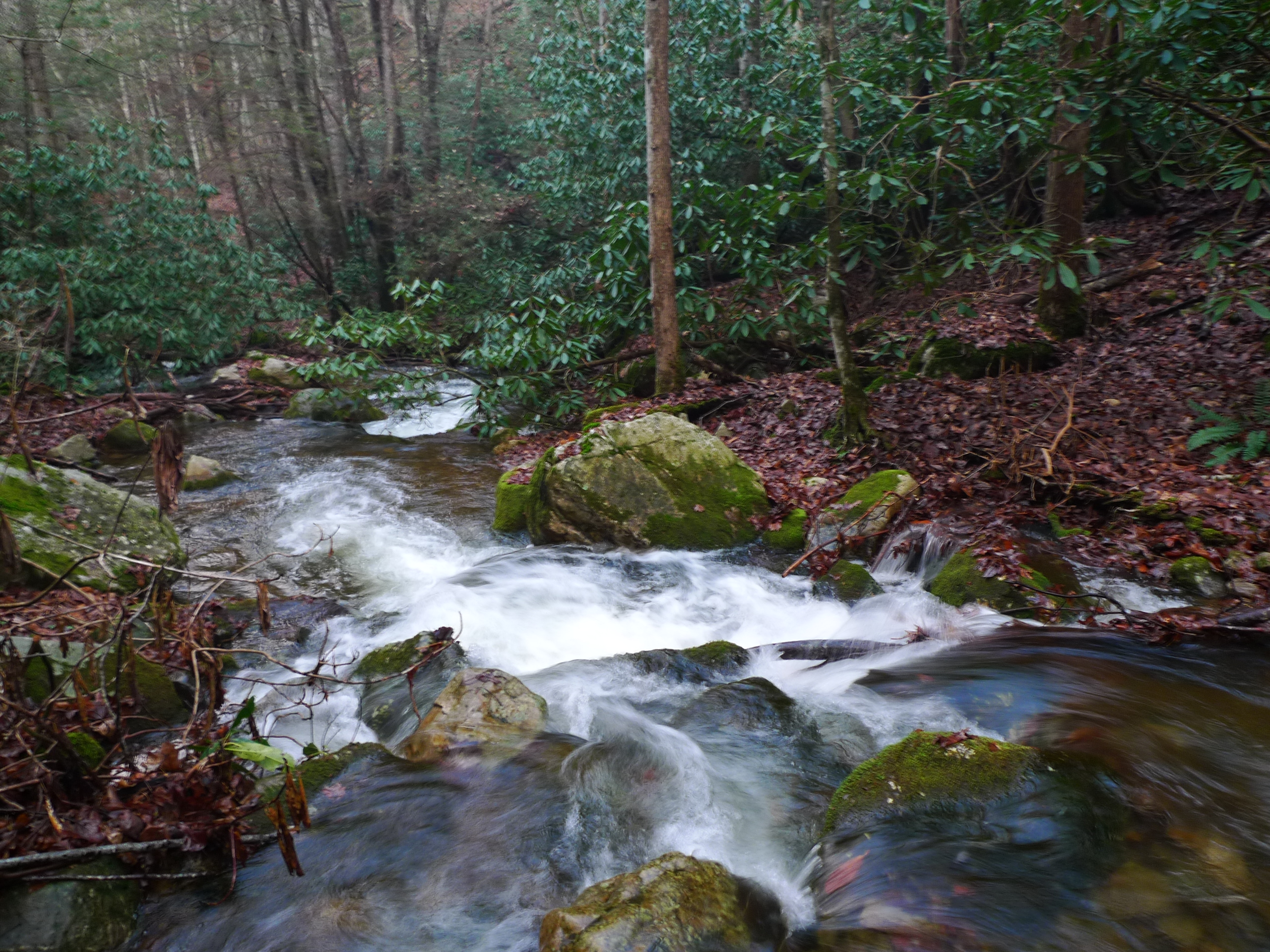
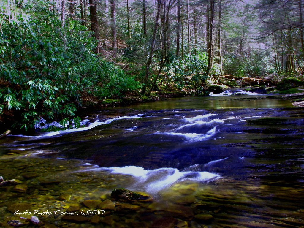
Squibb Creek

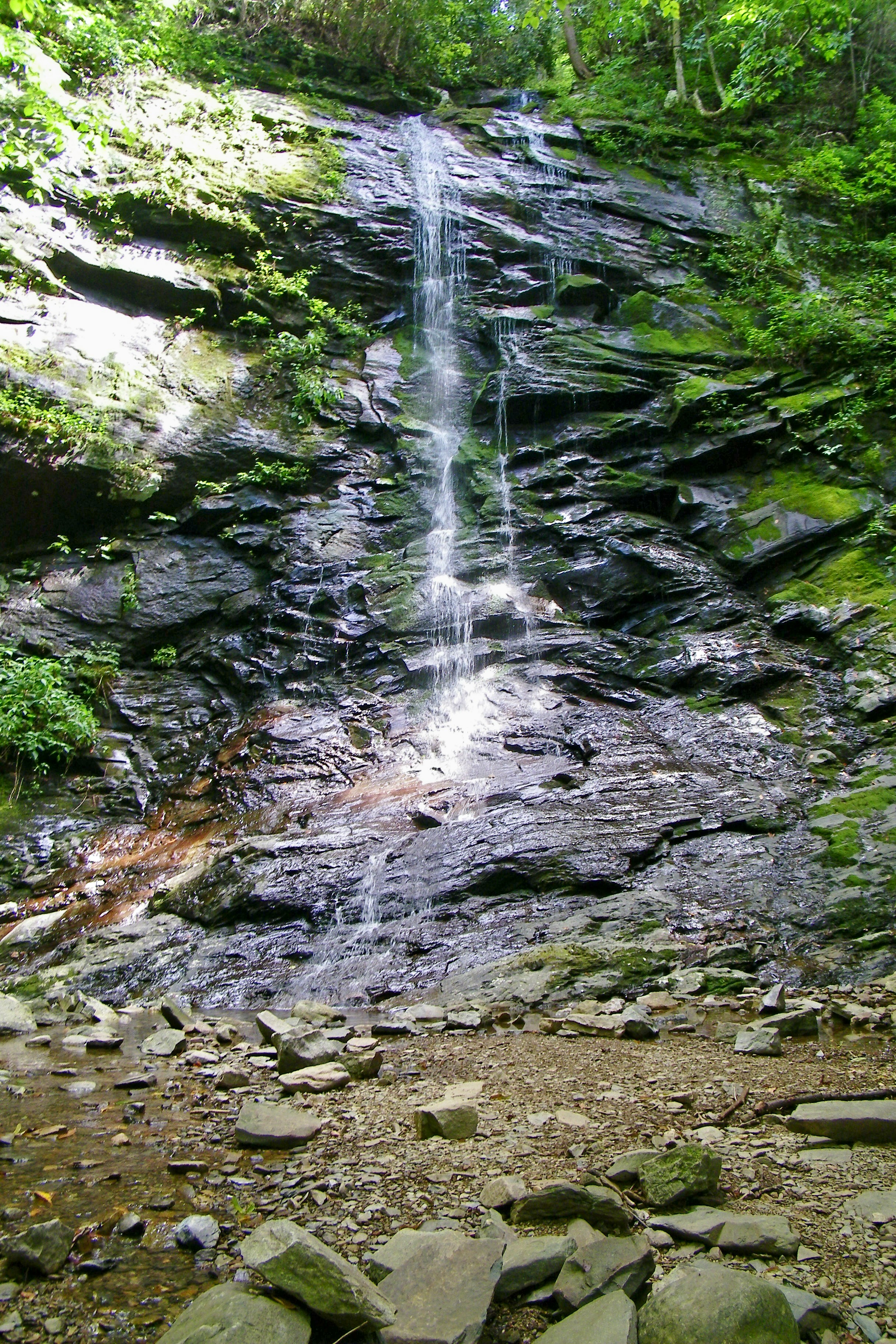
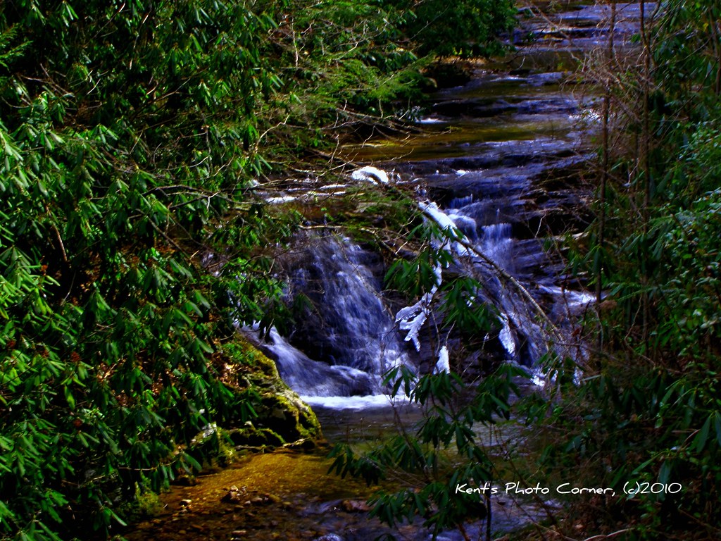
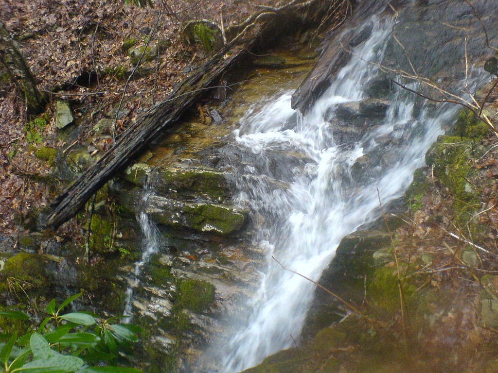
Petes Branch Falls
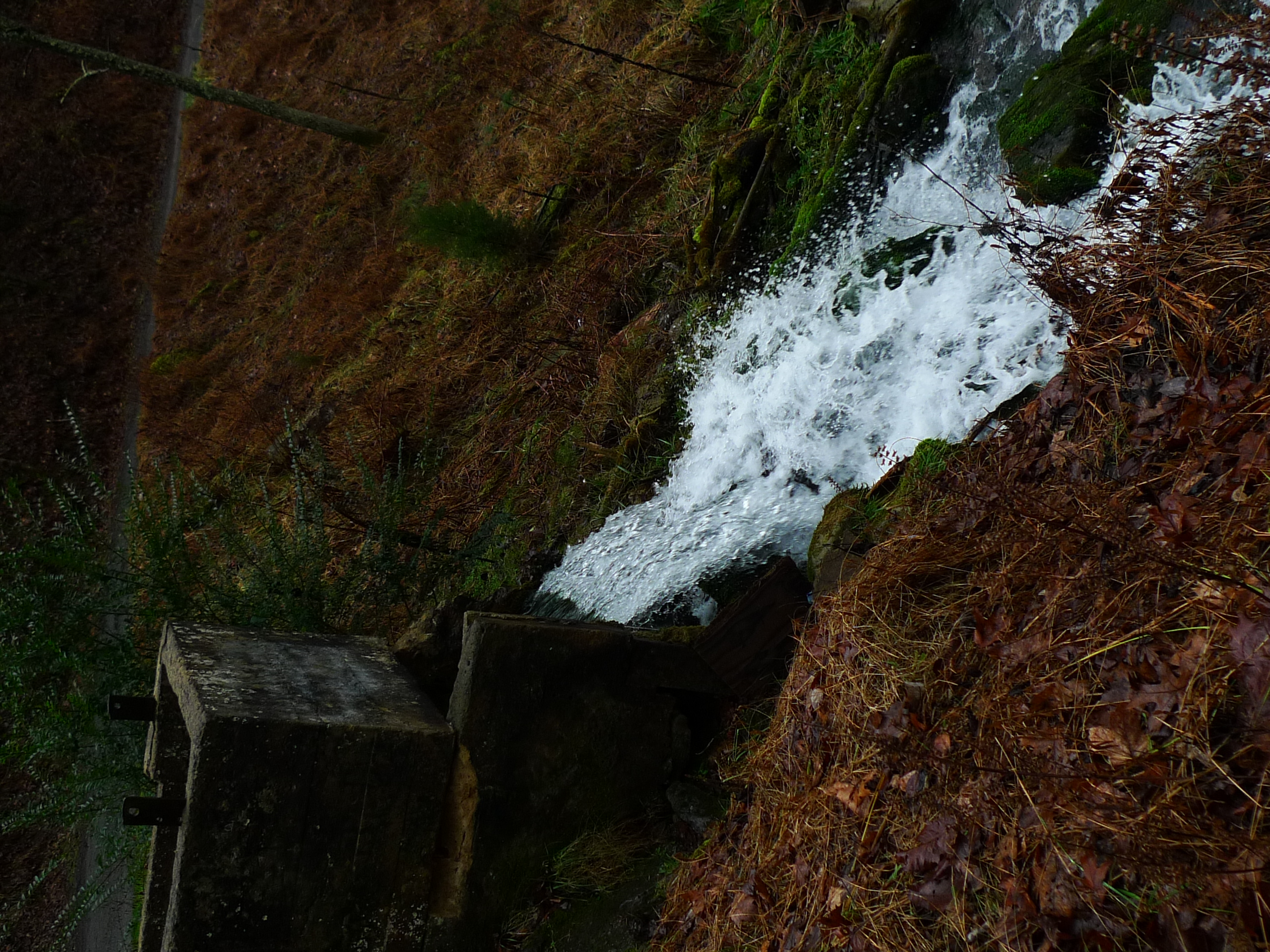
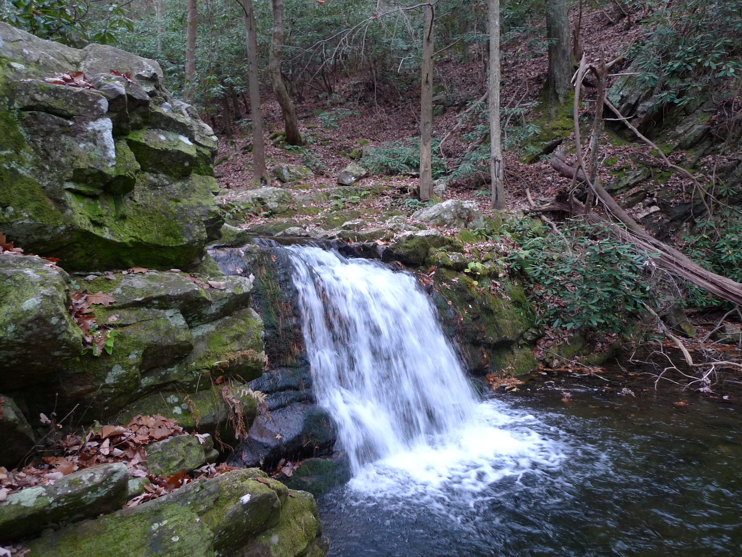
Sill Branch Falls
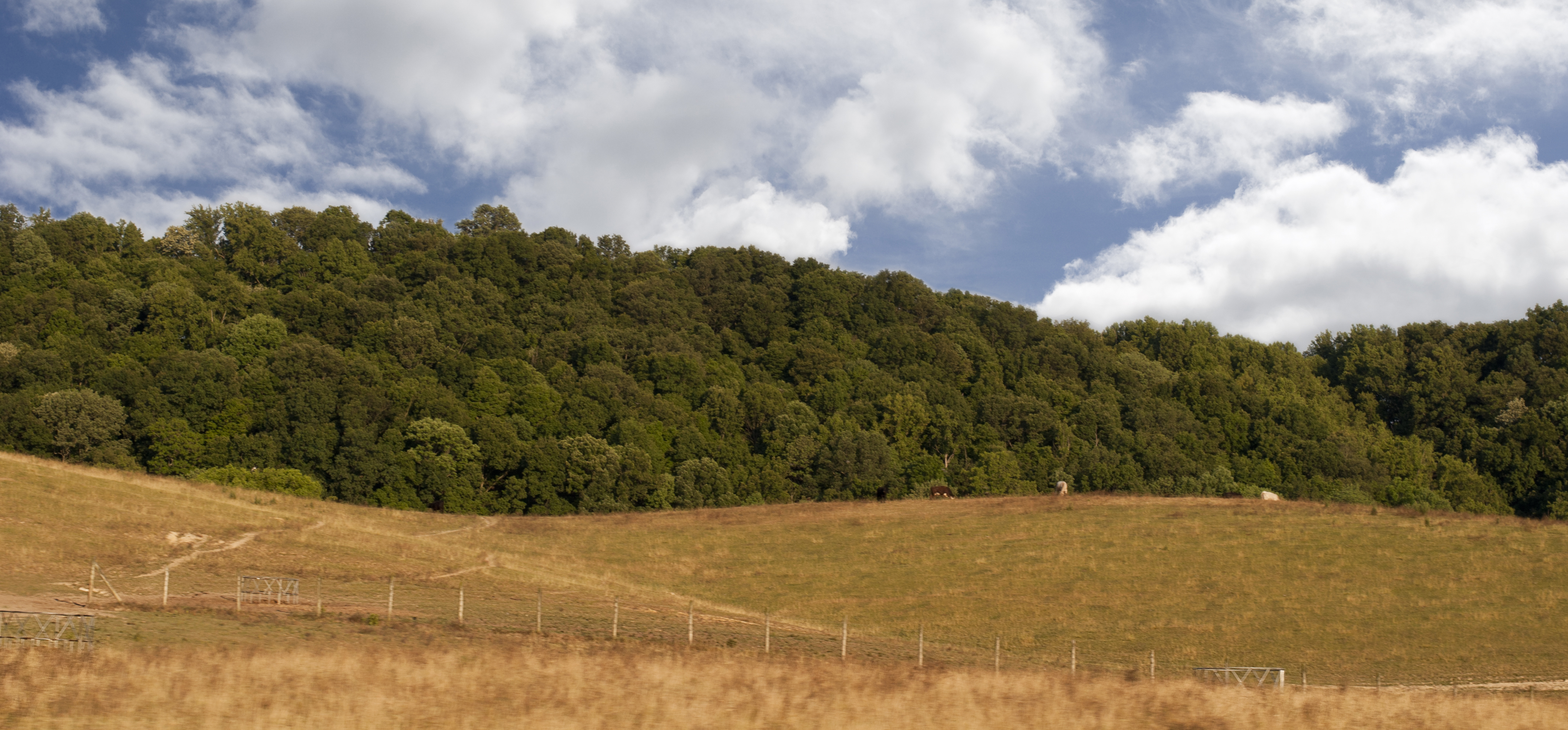
East Tennessee Landscape (Greene County, Tennessee)

Down in the Valley
Luscious Landscape Layers

WP_20151120_002 (2)

Nolichucky River

WP_20141124_040.JPG

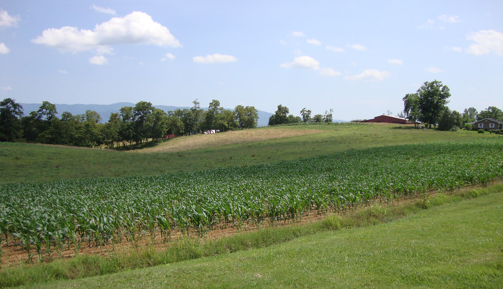
Tennessee Landscape
Roaring Springs
Small Fall on Long Arm Branch

Sampson Mountain Wilderness - Horse Cove - Turkeypen Cove
Small Cascade along Sill Branch

#sunsets #sunset

Sill Branch Falls
Squibb Falls
Old Forge - Jennings Creek

Spring Sunrise

Petes Branch Falls
Topographic Map of Anderson St, Limestone, TN, USA
Find elevation by address:

Places near Anderson St, Limestone, TN, USA:
251 Anderson St
155 Anderson St
Limestone, TN, USA
Limestone
4057 Us-11e
153 Hugh Story Rd
287 Hugh Story Rd
107 Lambs Park
3453 Chuckey Hwy
485 Carson Creek Rd
85 Dykes Hill Rd
Chuckey
1480 Martin Rd
330 Rheatown Rd
195 Saylor Hill Rd
125 Keys Rd
1885 Martin Rd
2147 Milburnton Rd
3105 Milburnton Rd
165 Wagon Wheel Trail
Recent Searches:
- Elevation of Corso Fratelli Cairoli, 35, Macerata MC, Italy
- Elevation of Tallevast Rd, Sarasota, FL, USA
- Elevation of 4th St E, Sonoma, CA, USA
- Elevation of Black Hollow Rd, Pennsdale, PA, USA
- Elevation of Oakland Ave, Williamsport, PA, USA
- Elevation of Pedrógão Grande, Portugal
- Elevation of Klee Dr, Martinsburg, WV, USA
- Elevation of Via Roma, Pieranica CR, Italy
- Elevation of Tavkvetili Mountain, Georgia
- Elevation of Hartfords Bluff Cir, Mt Pleasant, SC, USA