Elevation of Anderson Rd, White Hall, MD, USA
Location: United States > Maryland > Baltimore County > > White Hall >
Longitude: -76.575628
Latitude: 39.697199
Elevation: 195m / 640feet
Barometric Pressure: 99KPa
Elevation Map:
Satellite Map:
Related Photos:

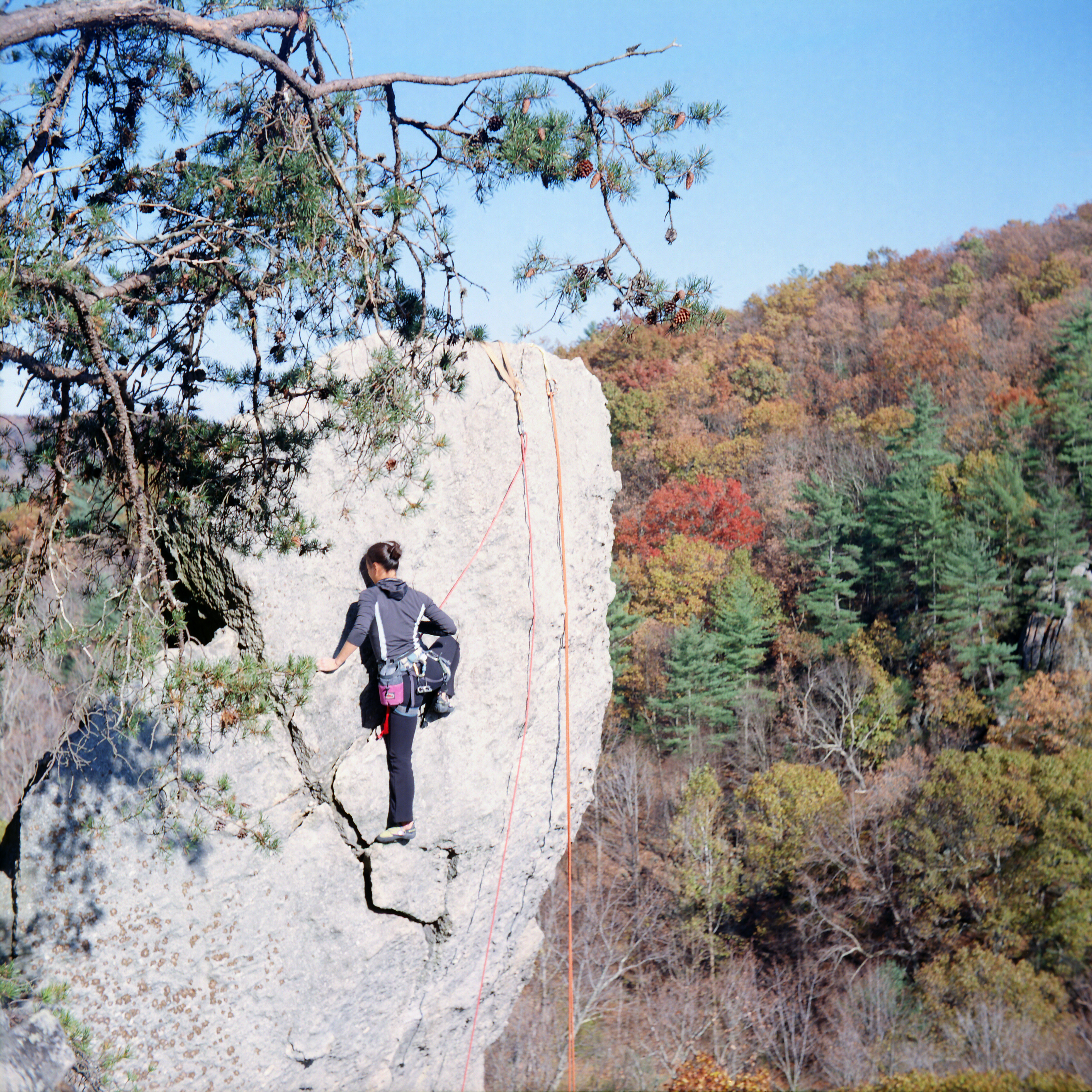
Falls into autumn

Civil War Steam Locomotive - NCRR #17

Placing the Sun in the Sky
Strawberry Jam

"Morning Sun, the Gang is ready to Run"

Front View

"Air Time"
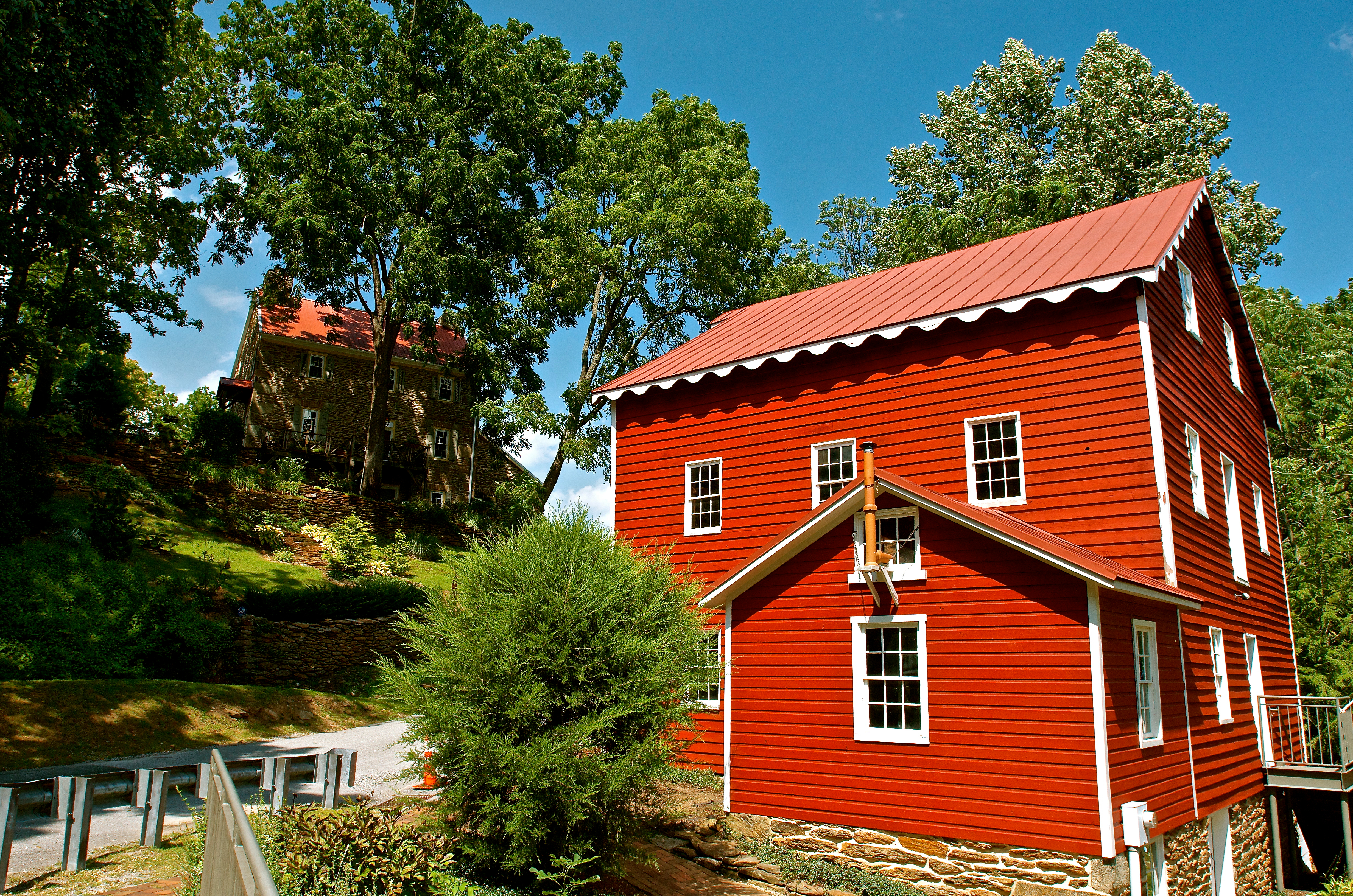
Wallace-Cross Mill

Side View

"Storm Rider" OOF
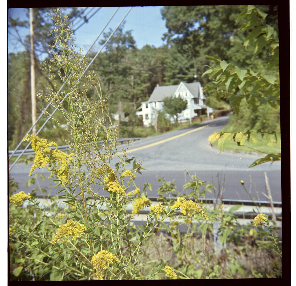
A House in the Country

New Freedom

Kentucky Warbler (Adult Male)
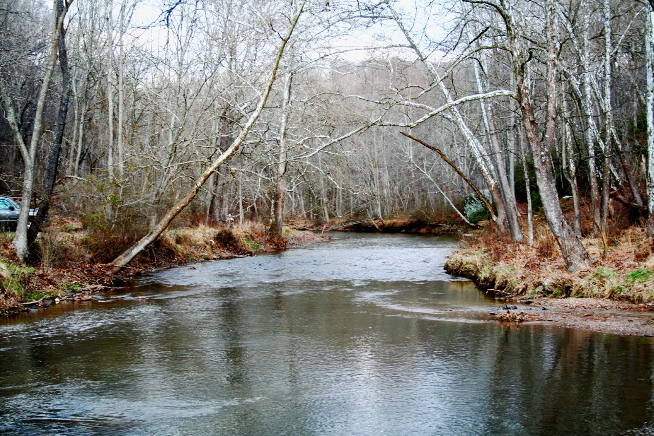
The Gunpowder River - Downstream from Bunker Hill
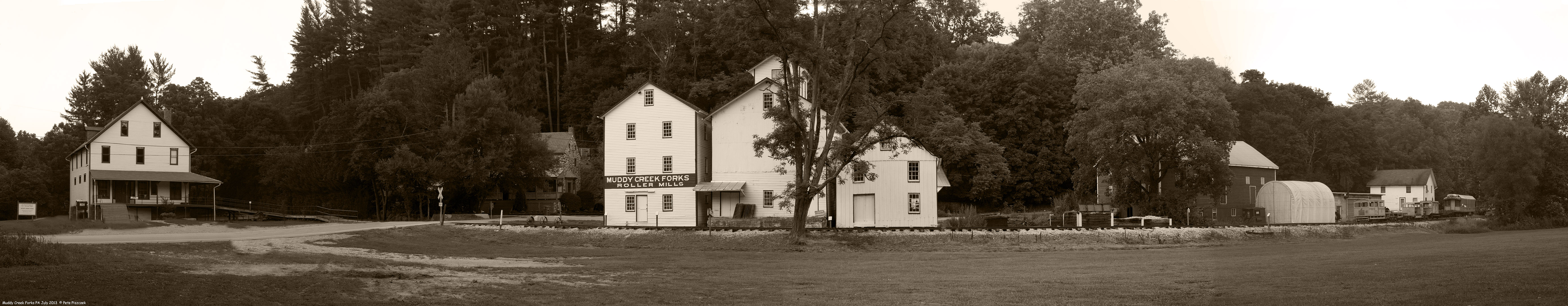
Ma & Pa RR Muddy Creek Forks PA July 2013 c
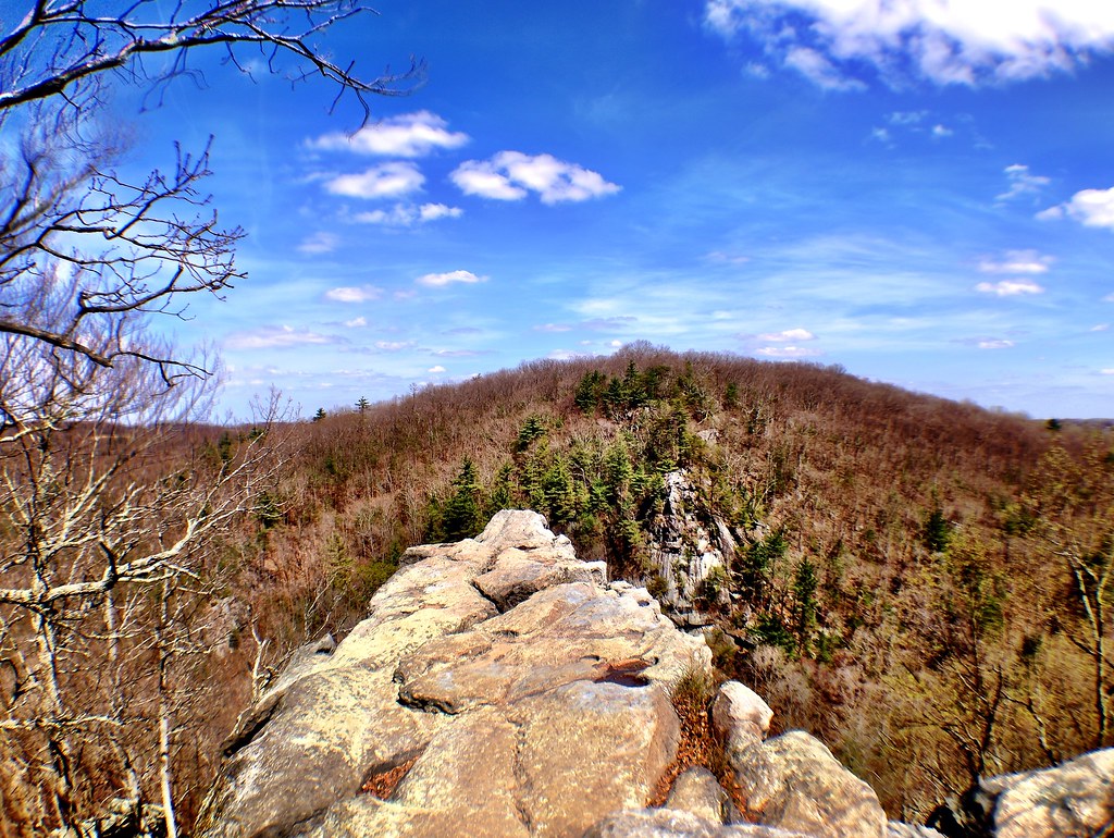
The view from the edge of the cliffs at Rocks State Park in Harford County, Maryland.

my view

Kentucky Warbler (Adult Male)
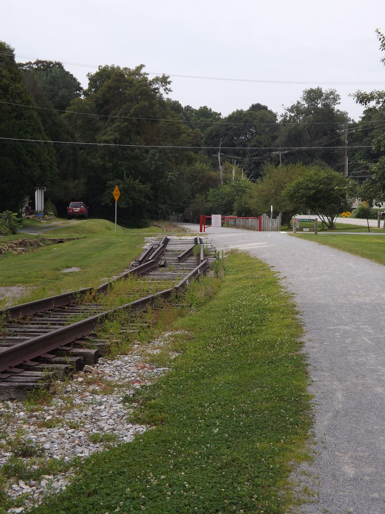
Timetable abridgement

"The Sky above the Mud below"
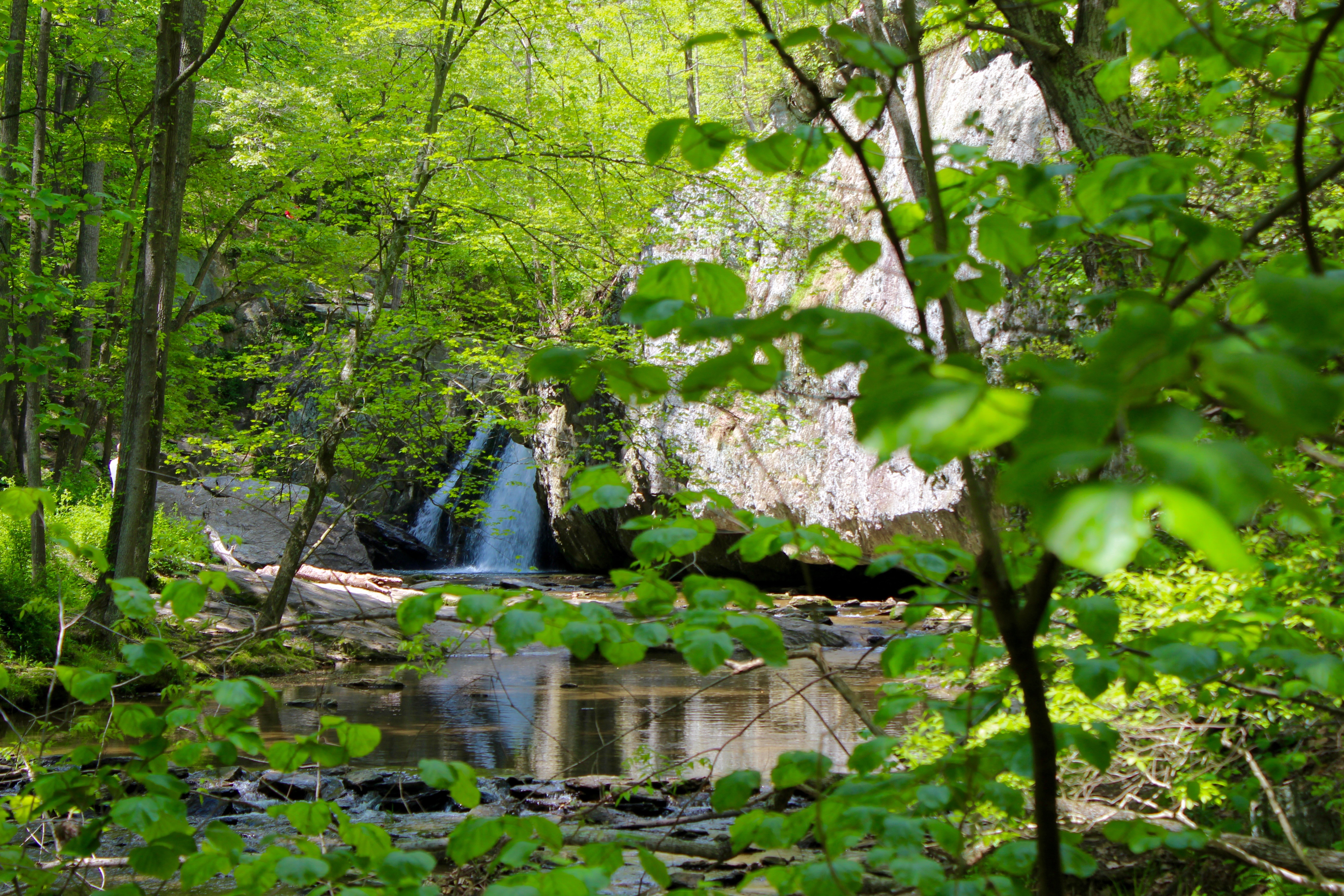
First View of the Falls
Topographic Map of Anderson Rd, White Hall, MD, USA
Find elevation by address:

Places near Anderson Rd, White Hall, MD, USA:
2810 Anderson Rd
20219 Kirkwood Shop Rd
21306 W Liberty Rd
Jolly Acres Road
18500 Old York Rd
19300 Burke Rd
19300 Burke Rd
19300 Burke Rd
19300 Burke Rd
19300 Burke Rd
19300 Burke Rd
19300 Burke Rd
19300 Burke Rd
Norrisville Elementary School
19500 Burke Rd
2663 Harkins Rd
7, MD, USA
2608 Harkins Rd
Bradenbaugh Rd, White Hall, MD, USA
Long Quarter Road
Recent Searches:
- Elevation of Corso Fratelli Cairoli, 35, Macerata MC, Italy
- Elevation of Tallevast Rd, Sarasota, FL, USA
- Elevation of 4th St E, Sonoma, CA, USA
- Elevation of Black Hollow Rd, Pennsdale, PA, USA
- Elevation of Oakland Ave, Williamsport, PA, USA
- Elevation of Pedrógão Grande, Portugal
- Elevation of Klee Dr, Martinsburg, WV, USA
- Elevation of Via Roma, Pieranica CR, Italy
- Elevation of Tavkvetili Mountain, Georgia
- Elevation of Hartfords Bluff Cir, Mt Pleasant, SC, USA