Elevation of Amo, IN, USA

Location: United States > Indiana > Hendricks County > Clay Township >

Longitude: -86.613612

Latitude: 39.6881019

Elevation: 250m / 820feet

Barometric Pressure: 98KPa

Elevation Map:

elevation map of Amo, IN, USA

Satellite Map:

Satellite map of Amo, IN, USA

Related Photos:

Fire Hydrant
newhouse 34366 day34366 366the2016edition 3662016 3feb16
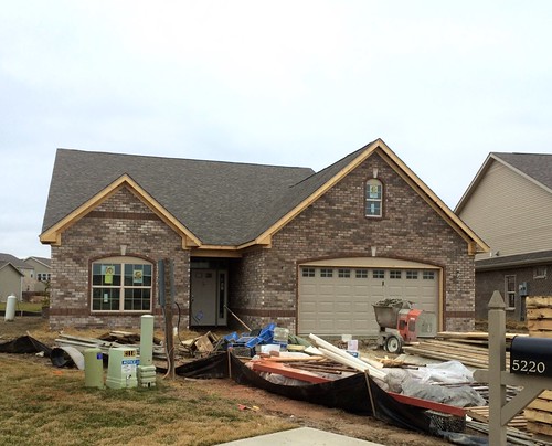
The brick is done!
county street longexposure nightphotography blue moon digital photoshop canon rebel washington raw doug © indiana overcast danville hour courthouse dslr xsi topaz hendricks adjust cs3 riceworld waggoner hoosierstate denoise 450d project3652010
86/365 - Night Court
trees fall landscape seasons folige octoberfallseasonstreesfoligelandscape
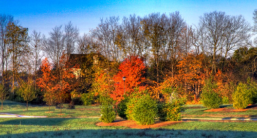
Fall Landscape in Plainfield Avalon Estates
tombstone indiana gibbens gibbons hendrickscounty stilesvillecemetery
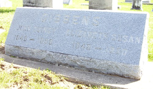
STC GIBBENS John Q Elizabeth S view 2 LG
Pilot's View: Cessna 172SP
tombstone indiana hunter gibbons hendrickscounty stilesvillecemetery
STC GIBBONS David HUNTER LG
airport aviation indiana danville generalaviation hendrickscounty hendrickscountyaviation
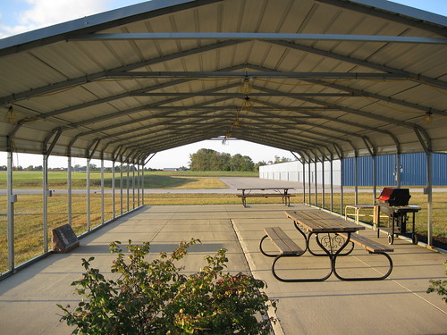
HCA Outdoor Gathering Space
tombstone indiana hunter gibbens gibbons hendrickscounty stilesvillecemetery
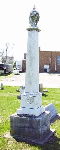
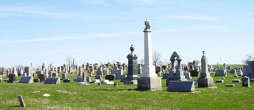
STC Distance View LG
tombstone indiana gibbens gibbons hendrickscounty stilesvillecemetery
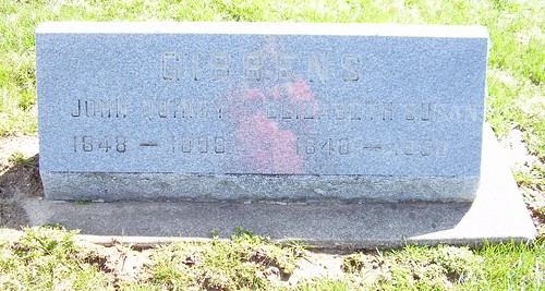
STC GIBBENS John Q Elizabeth S LG
indiana sr42 morgancountyindiana stateroad42
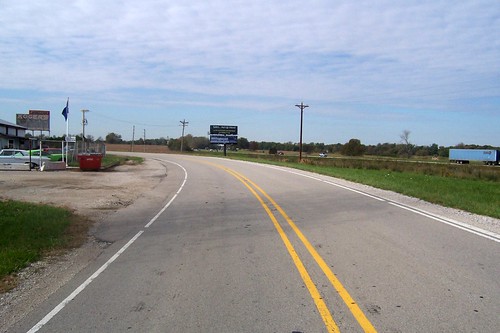
A view of I-70
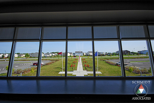
school architecture indianapolis engineering associates indiana architectural architect danville schmidt middle architects 5th 7th sai 8th k12 6th engineers schmidtassociates
Media Center View
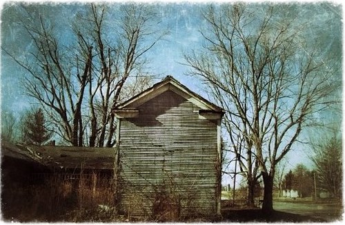
abandoned farmhouse rural landscape landscapes midwest decay farm ruin indiana forgotten homestead prairie agriculture smalltown
Prosperity once passed this way along the Ernie Pyle State Highway
DSC03462.jpg
DSC03469.jpg
square squareformat iphoneography instagramapp uploaded:by=instagram foursquare:venue=4e4c12e5d4c0ae552d8aa2c7
Ahhhhh....
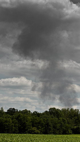
Coatsville Lumber Fire
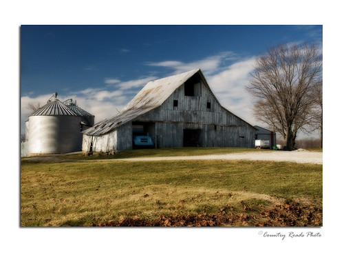
wood old white barn rural america landscape nikon antique decay farm barns indiana land weathered nikkor countryroadsphoto
Winter Farm
uploaded:by=flickrmobile flickriosapp:filter=nofilter
Dance of the daisies
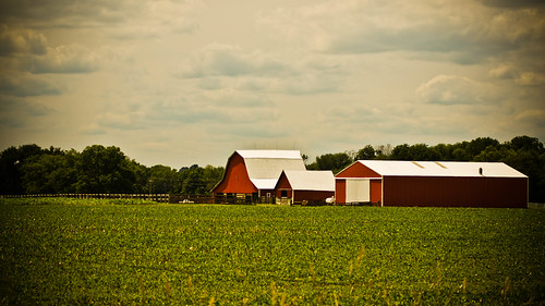
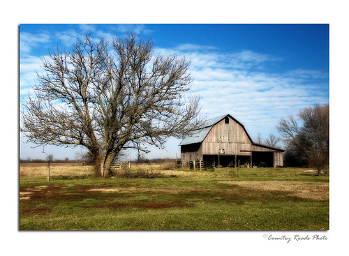
wood old barn rural america landscape nikon antique decay farm barns indiana land weathered nikkor countryroadsphoto
Morgan County Barn
the bridge
abandoned us40 nationalroad abandonedroad concretearchbridges
Abandoned National Road/US 40
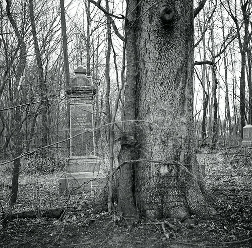
usa 120 tlr film cemetery mediumformat unitedstates indiana yashica plainfield yashicad
Iron's Cemetery
indiana danville 1912 1910s courthouses in hendrickscounty countycourthouses usccinhendricks
Hendricks County Courthouse (Danville, Indiana)
coveredbridges putnamcountyindiana bakerscampcoveredbridge
Bakers Camp Covered Bridge
wedding light sunset love beautiful sex zeiss lens photography bride spring amazing warm flickr photographer natural sony marriage indiana full mount lgbt e same frame brides fe alpha today curtis equal sonnar 2016 a7ii mirrorless arzate sel55f18z
Brides Sunset
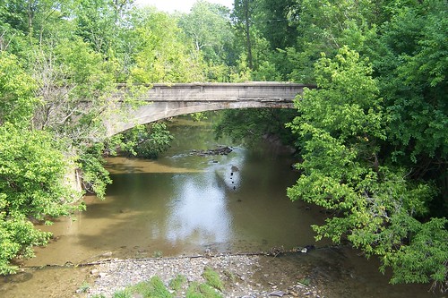
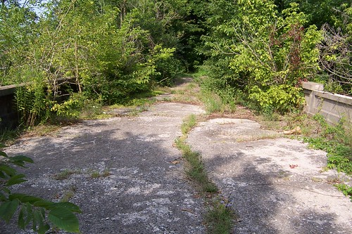
road bridge abandoned us40 nationalroad concretearchbridges
Abandoned US 40 bridge
field fence country indiana
Five Minutes From Home
phone71012
phone 7-10-12 027
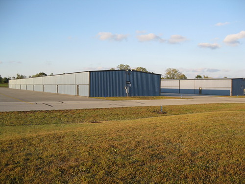
airport indiana danville hangars generalaviation hendrickscounty hendrickscountyaviation
HCA: Hangars
road bridge abandoned us40 nationalroad concretearchbridges
Abandoned US 40 bridge
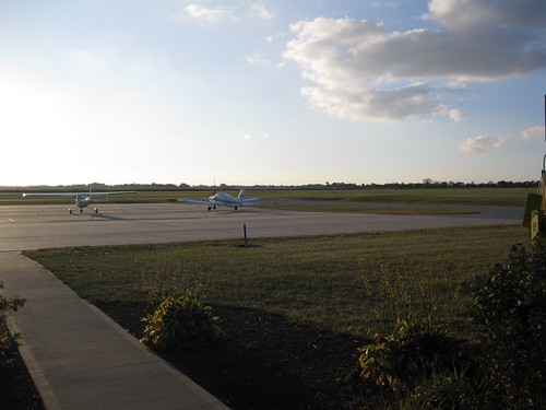
airport ramp aircraft aviation piper cessna generalaviation hendrickscounty
HCA Ramp / Sidewalk