Elevation map of Ambilobe, Madagascar
Location: Madagascar > Antsiranana >
Longitude: 48.8799972
Latitude: -13.345530
Elevation: 19m / 62feet
Barometric Pressure: 101KPa
Elevation Map:
Satellite Map:
Related Photos:
IMG_0047

Nel fiume... tutto

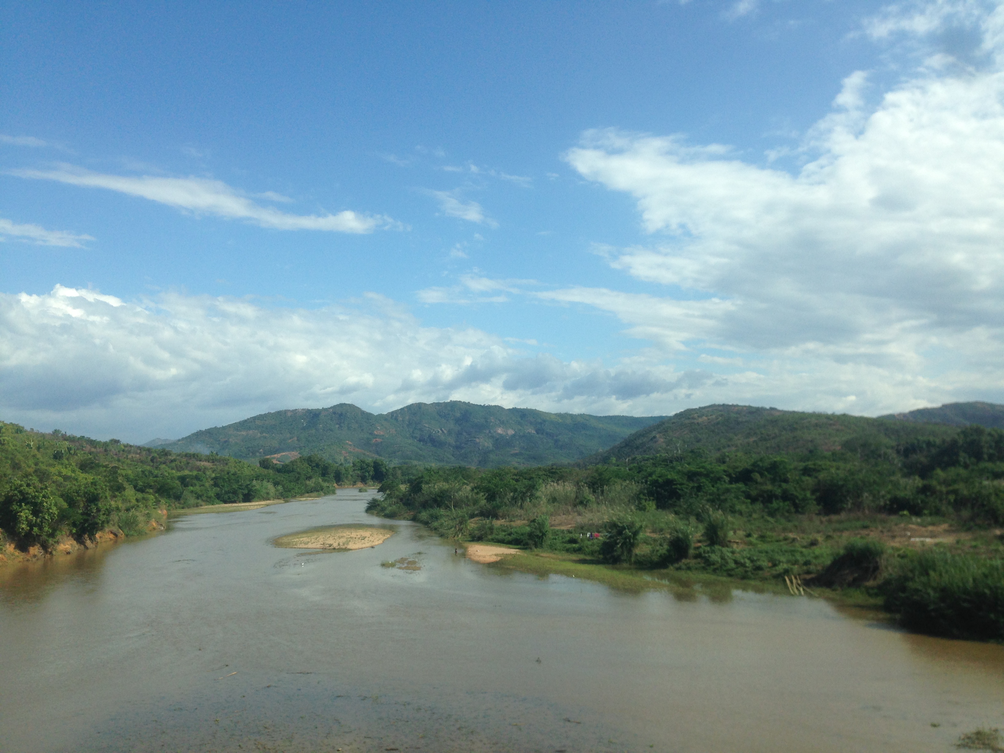
From Iharana Camp To Port Ankify

Tres jolie

Alt, police!

Un attimo ancora ed arriva anche il sole!
Topographic Map of Ambilobe, Madagascar
Find elevation by address:

Places in Ambilobe, Madagascar:
Places near Ambilobe, Madagascar:
Recent Searches:
- Elevation of Corso Fratelli Cairoli, 35, Macerata MC, Italy
- Elevation of Tallevast Rd, Sarasota, FL, USA
- Elevation of 4th St E, Sonoma, CA, USA
- Elevation of Black Hollow Rd, Pennsdale, PA, USA
- Elevation of Oakland Ave, Williamsport, PA, USA
- Elevation of Pedrógão Grande, Portugal
- Elevation of Klee Dr, Martinsburg, WV, USA
- Elevation of Via Roma, Pieranica CR, Italy
- Elevation of Tavkvetili Mountain, Georgia
- Elevation of Hartfords Bluff Cir, Mt Pleasant, SC, USA