Elevation map of Amajuba, South Africa
Location: South Africa > Kwazulu-natal >
Longitude: 30.0665236
Latitude: -27.803559
Elevation: 1265m / 4150feet
Barometric Pressure: 87KPa
Elevation Map:
Satellite Map:
Related Photos:

African quailfinch (Ortygospiza fuscocrissa)

autumn sunset

arty farty leaves

butterfly on my marigolds

Pepper's nose gets everywhere

Helmeted-Guineafowl_N9X2014

Spectacled weaver bird_N9X2086
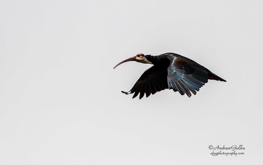
Hadeda Ibis_N9X2720

Cattle Egret_2 N9X2139

Newcastle Civic Center Tower Block under construction

Nedbank Centre on Harding Street

Sculpture by Mohau Modisakeng at Entrance 03 of the Newcastle Mall

Sculpture by Marco Cianfanelli at Entrance 02 of the Newcastle Mall

Historic Newcastle - Hindu Temple
Entrance 01 of Newcastle Mall

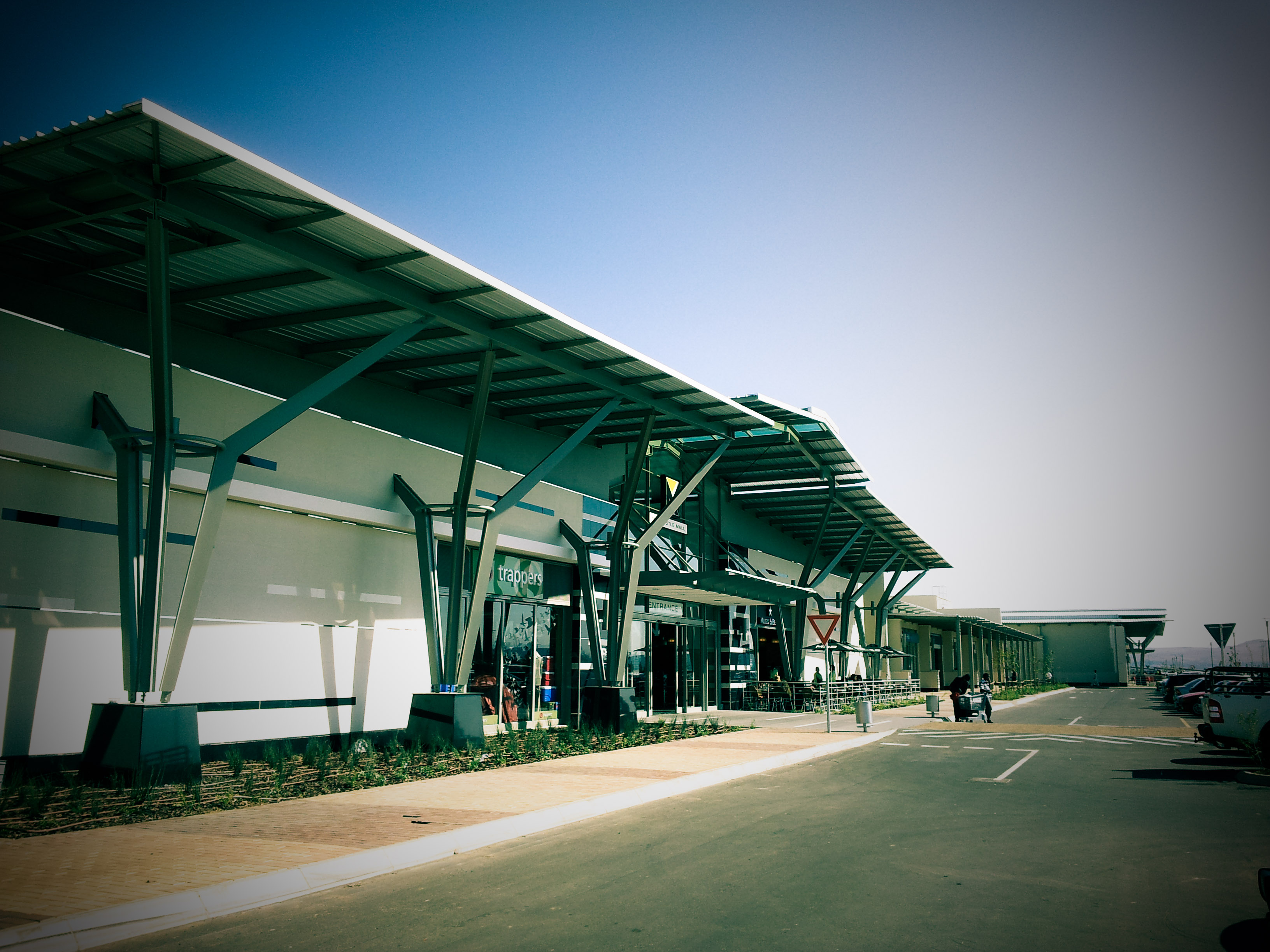
Walking through Newcastle Mall

Arcelor Mittal Head Office Building

Looking up the DBM Building
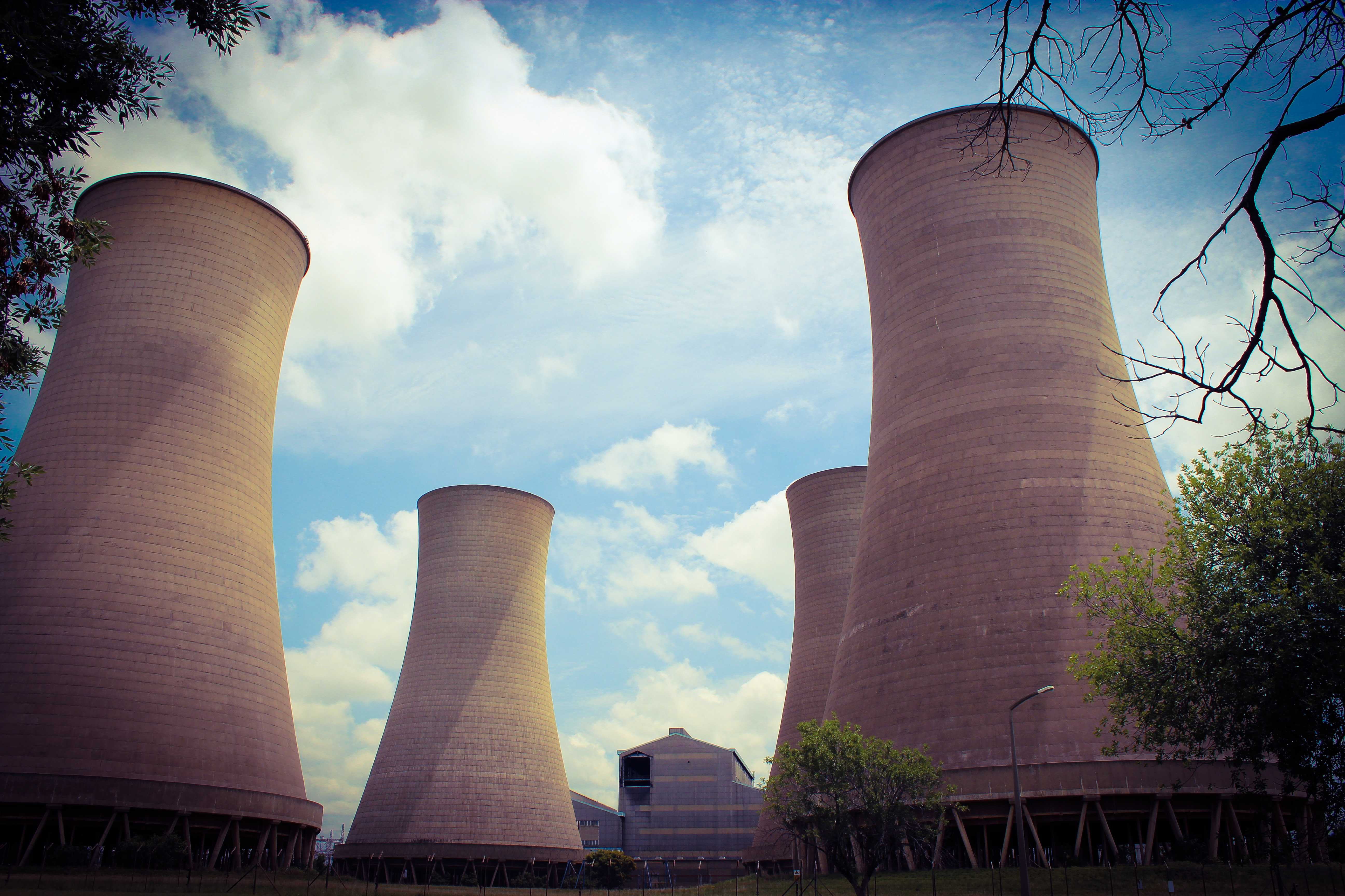
93.4m high Cooling Towers of the Newcastle Co-generation Plant

Historic Newcastle - City Hall

Historic Newcastle - The Carnegie Art Gallery [old Library Building]
Topographic Map of Amajuba, South Africa
Find elevation by address:

Places in Amajuba, South Africa:
Places near Amajuba, South Africa:
Newcastle
Newcastle Mall
Equarand
Vryheid
Zungwini
Bivane
Mqwabe
Zungwini
Tendeka
Paulpietersburg
Paulpietersburg
Hoog Street
Hlungwana
Commondale
Panbult
Iswepe
Ngwempisi
Wildrand
Sheepmoor
Morgenzon
Recent Searches:
- Elevation of Corso Fratelli Cairoli, 35, Macerata MC, Italy
- Elevation of Tallevast Rd, Sarasota, FL, USA
- Elevation of 4th St E, Sonoma, CA, USA
- Elevation of Black Hollow Rd, Pennsdale, PA, USA
- Elevation of Oakland Ave, Williamsport, PA, USA
- Elevation of Pedrógão Grande, Portugal
- Elevation of Klee Dr, Martinsburg, WV, USA
- Elevation of Via Roma, Pieranica CR, Italy
- Elevation of Tavkvetili Mountain, Georgia
- Elevation of Hartfords Bluff Cir, Mt Pleasant, SC, USA