Elevation of Am Unterbarmer Friedhof 16, Wuppertal, Germany
Location: Germany > North Rhine-westphalia > Düsseldorf > Wuppertal > Barmen >
Longitude: 7.1740329
Latitude: 51.2579049
Elevation: 183m / 600feet
Barometric Pressure: 99KPa
Elevation Map:
Satellite Map:
Related Photos:

the fog - behind the veil

feeling free

158/365
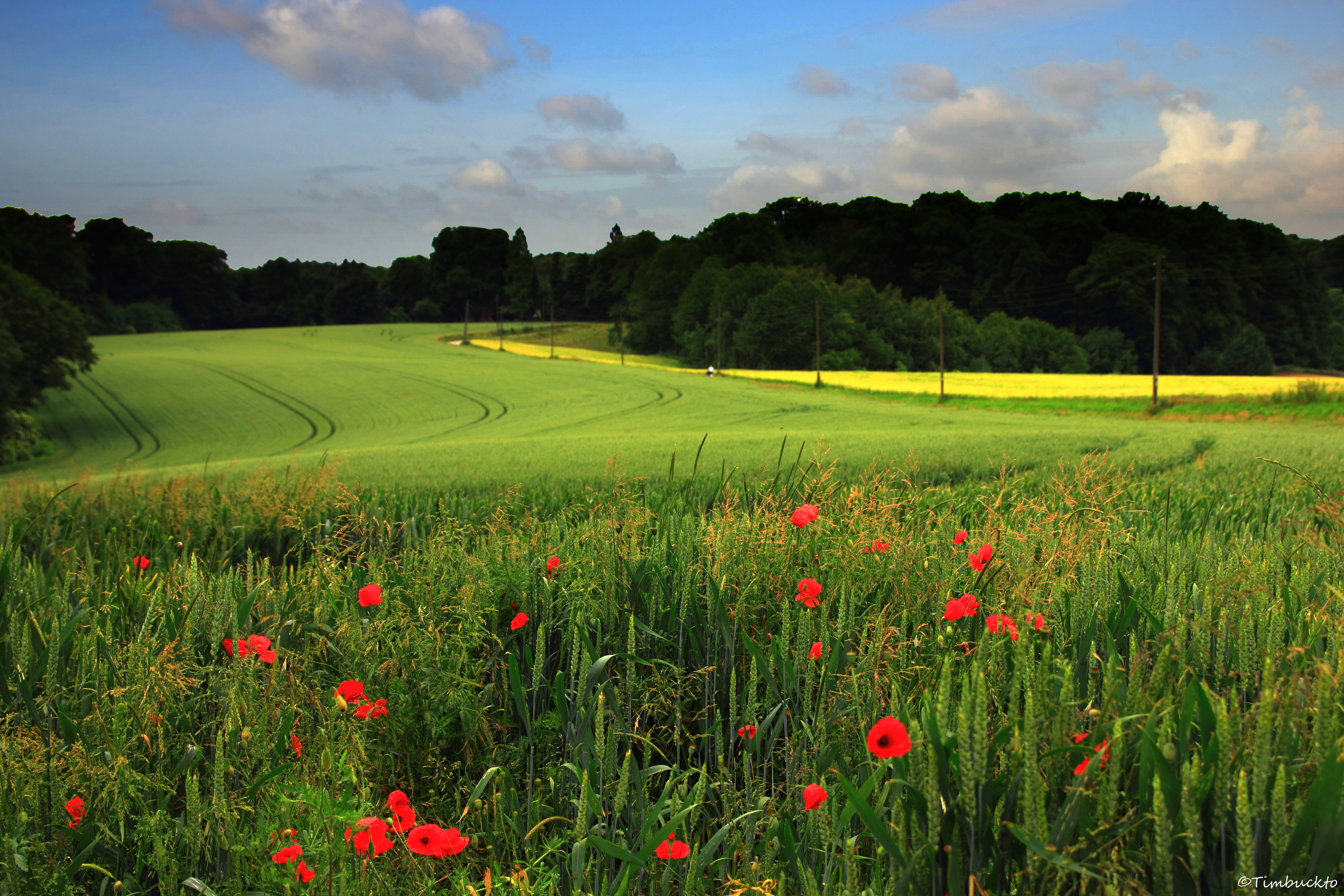
Poppies and cornfields
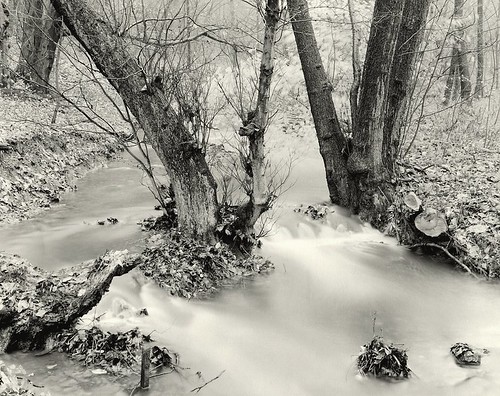
Hesperbach #7
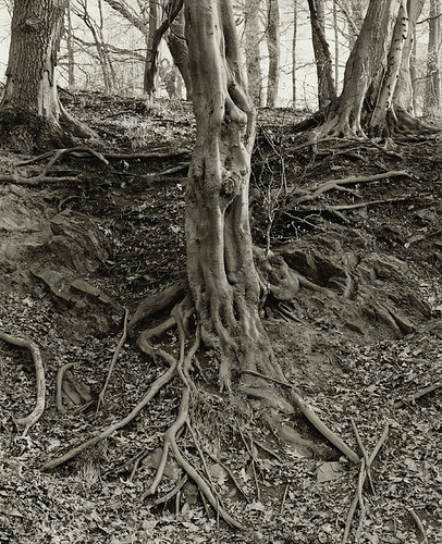
Baumwurzeln #1
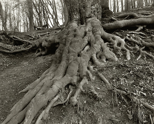
Baumwurzel #2
Langenhorster Wald #2
Hesperbach #12

Do you see the eyes ? O_O
viel Raps

stepping up to nothing

Wülfrath-Düssel

Wülfrath - Düssel

Wuppertal Views

Baumwurzel #3
Velbert-Langenberg #5
Velbert-Langenberg #4
Velbert-Langenberg #2

Wuppertal Views

Wuppertal Views
Topographic Map of Am Unterbarmer Friedhof 16, Wuppertal, Germany
Find elevation by address:

Places near Am Unterbarmer Friedhof 16, Wuppertal, Germany:
Marie-curie-straße 16
Kothen
Barmen
Rott
Distelbeck 22
Fichtenstraße
Wuppertal
Campus Freudenberg
Elberfeld
Südstadt
Wilkhausstraße 115
Uellendahl-katernberg
Siebeneicker Straße
Nordrather Str., Velbert, Germany
Varresbeck
Silberkuhle 16, Wuppertal, Germany
Freiheitstraße 183
Remscheid
Deutscher Ring 71, Wuppertal, Germany
Aprather Weg
Recent Searches:
- Elevation of Corso Fratelli Cairoli, 35, Macerata MC, Italy
- Elevation of Tallevast Rd, Sarasota, FL, USA
- Elevation of 4th St E, Sonoma, CA, USA
- Elevation of Black Hollow Rd, Pennsdale, PA, USA
- Elevation of Oakland Ave, Williamsport, PA, USA
- Elevation of Pedrógão Grande, Portugal
- Elevation of Klee Dr, Martinsburg, WV, USA
- Elevation of Via Roma, Pieranica CR, Italy
- Elevation of Tavkvetili Mountain, Georgia
- Elevation of Hartfords Bluff Cir, Mt Pleasant, SC, USA