Elevation of Alum Springs Rd, Danville, KY, USA
Location: United States > Kentucky > Boyle County > Danville >
Longitude: -84.841988
Latitude: 37.5968097
Elevation: 347m / 1138feet
Barometric Pressure: 97KPa
Elevation Map:
Satellite Map:
Related Photos:
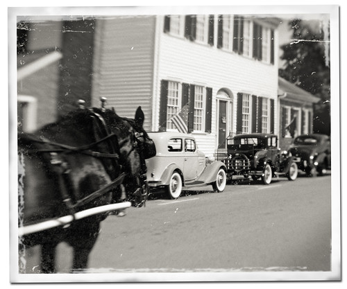
Danville, Kentucky

Big Sur, CA
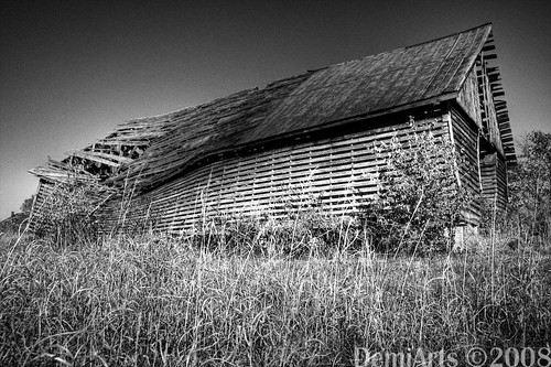
Broken Barn
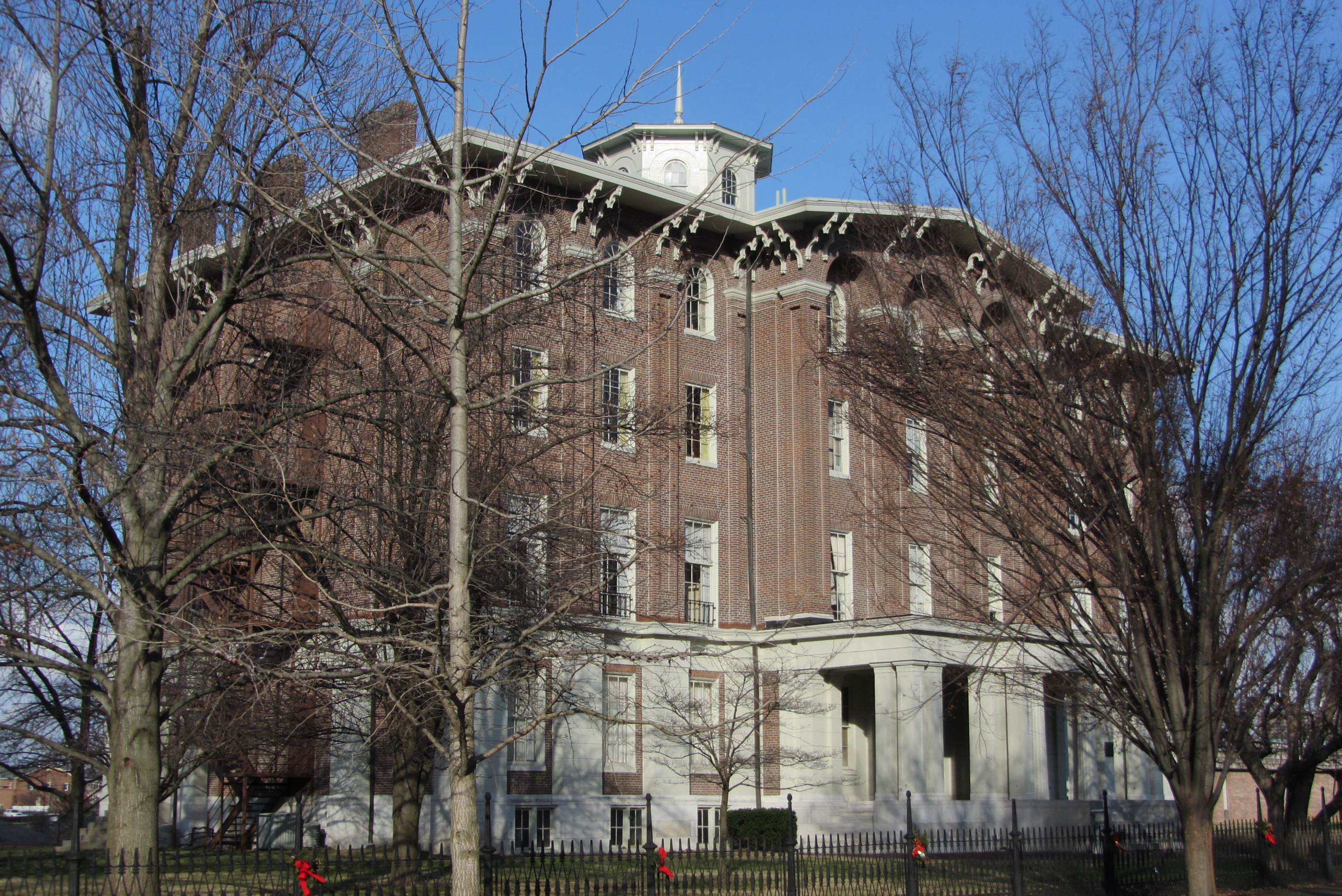
Oblique view of Jacobs Hall, KSD

Mixed Power.

Front view of Jacobs Hall, KSD
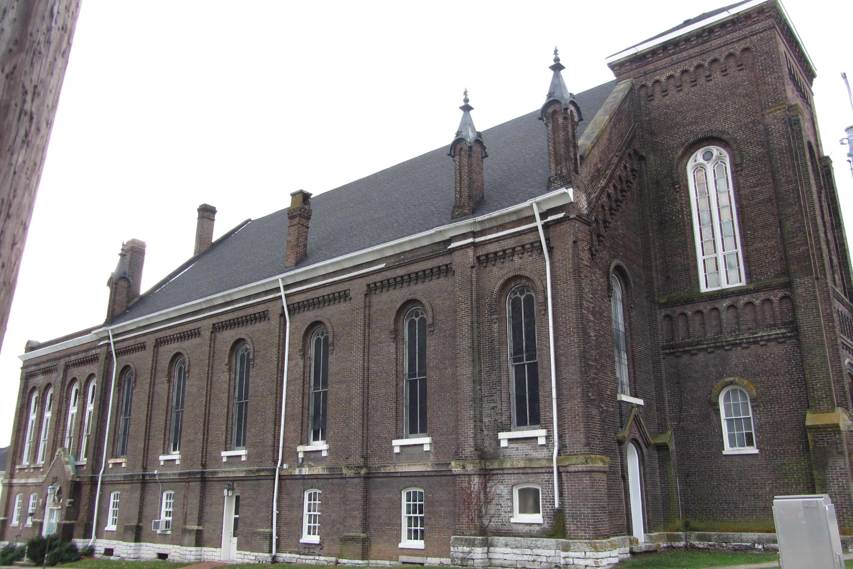
Side view of Independent Methodist Church, Danville, Ky.

Battlefield Focus

Clash on the Battlefield

Perryville Battlefield stream (vertical)
NS 197, Bowen,KY 4/16/2014
Perryville Battlefield

Doctor's Fork, Perryville Battlefield
Perryville Battlefield
Perryville Battlefield, wide

The Farm, LLC - Danvile Kentucky
NS 890, Bowen,KY 1/21/2015

Blue Grosbeak immature by Jackie B. Elmore 9-14-2014 Lincoln Co. KY
NS 216/NS M79, Bowen,KY 3/21/2014
Perryville Battlefield

Perryville Battlefield

Eastern Bluebird male 4-8-2012 Lincoln Co. KY

Eastern Bluebird male 4-8-2012 Lincoln Co. KY

Kentucky.
Perryville Battlefield

The Farm, LLC - Danvile Kentucky

The Farm, LLC - Danvile Kentucky
Topographic Map of Alum Springs Rd, Danville, KY, USA
Find elevation by address:

Places near Alum Springs Rd, Danville, KY, USA:
Junction City
60 Westridge Dr
Boyle County
91 Shearin Ave, Danville, KY, USA
Nichols St, Danville, KY, USA
225 Waveland Ave
Hwy, Stanford, KY, USA
S 3rd St, Danville, KY, USA
Danville
Alton Rd, Danville, KY, USA
1745 Airport Rd
559 Springhill Rd
413 Locust St
E Main St, Danville, KY, USA
Ky-, Hustonville, KY, USA
155 Fairlane Ave
155 Fairlane Ave
Perryville Rd, Harrodsburg, KY, USA
S Buell St, Perryville, KY, USA
Perryville
Recent Searches:
- Elevation of Corso Fratelli Cairoli, 35, Macerata MC, Italy
- Elevation of Tallevast Rd, Sarasota, FL, USA
- Elevation of 4th St E, Sonoma, CA, USA
- Elevation of Black Hollow Rd, Pennsdale, PA, USA
- Elevation of Oakland Ave, Williamsport, PA, USA
- Elevation of Pedrógão Grande, Portugal
- Elevation of Klee Dr, Martinsburg, WV, USA
- Elevation of Via Roma, Pieranica CR, Italy
- Elevation of Tavkvetili Mountain, Georgia
- Elevation of Hartfords Bluff Cir, Mt Pleasant, SC, USA