Elevation of Alton, UT, USA
Location: United States > Utah > Kane County >
Longitude: -112.48270
Latitude: 37.4377602
Elevation: 2146m / 7041feet
Barometric Pressure: 78KPa
Elevation Map:
Satellite Map:
Related Photos:
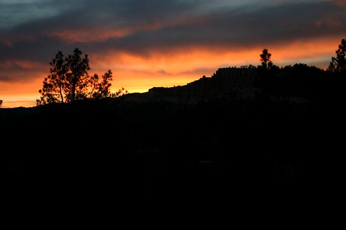
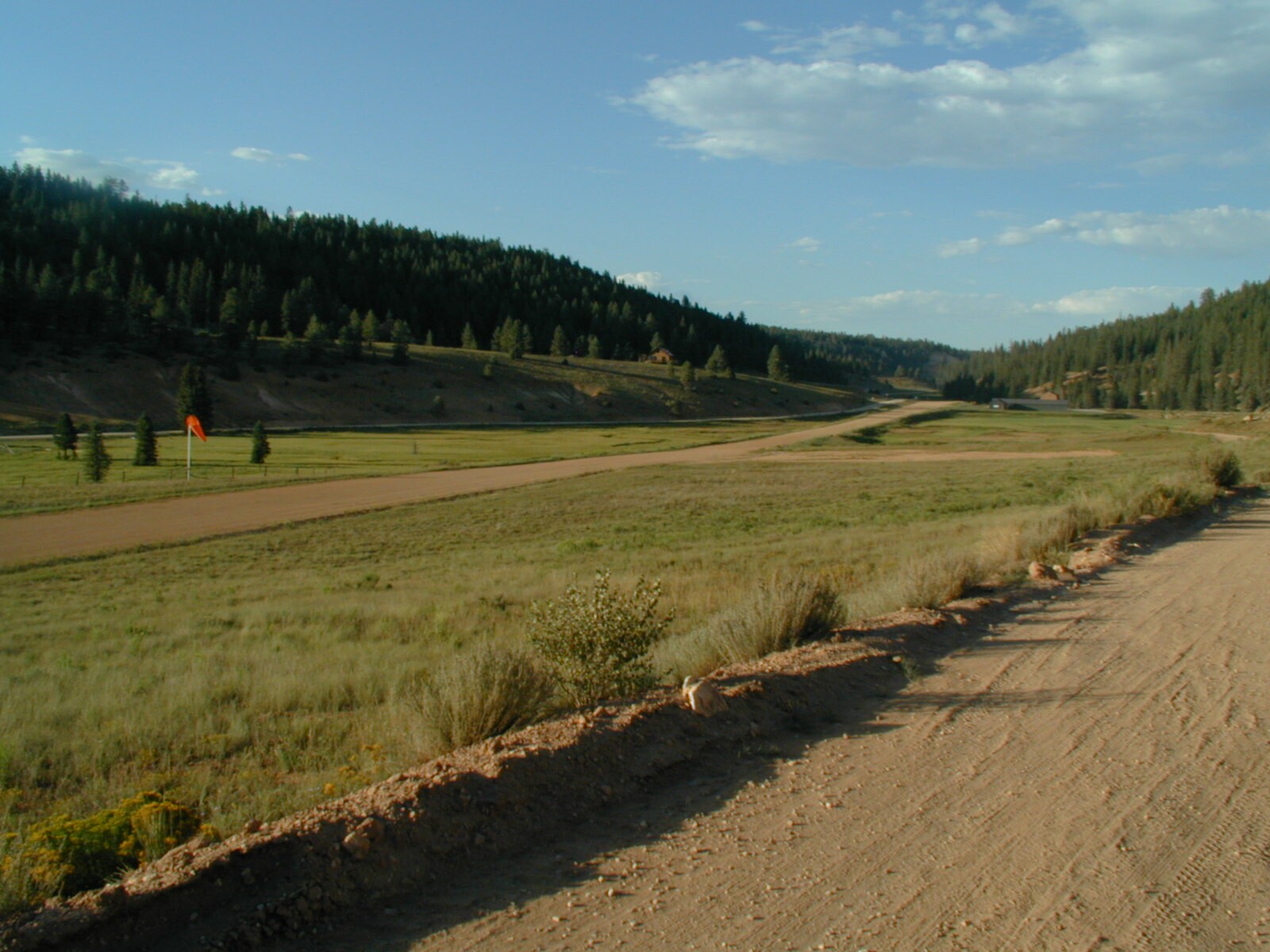
View from the Long Valley cabin

Glendale, Utah Panorama - Our View For The Next Week
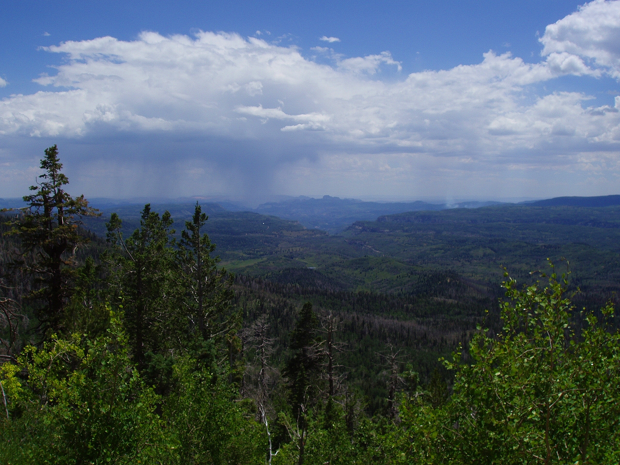
Zion Overlook, Markagunt High Plateau Scenic Byway, Utah
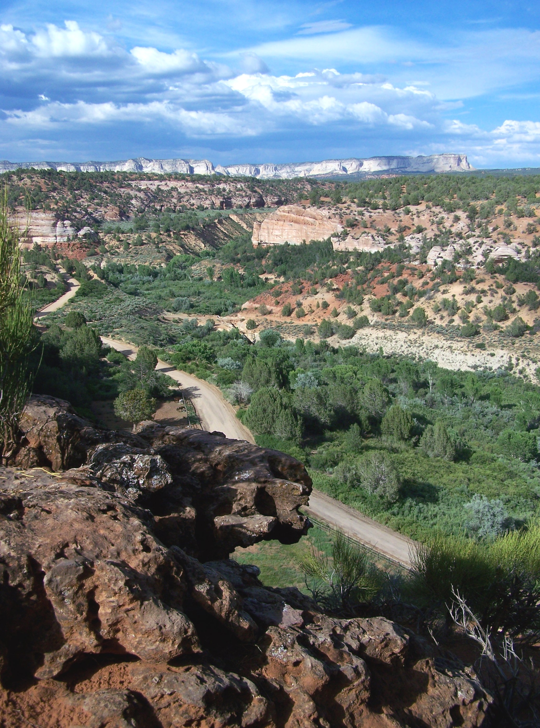
The Way Out - Kane County, UT USA

IMG_3323.JPG
DSC_7531.JPG
DSC_7533.JPG
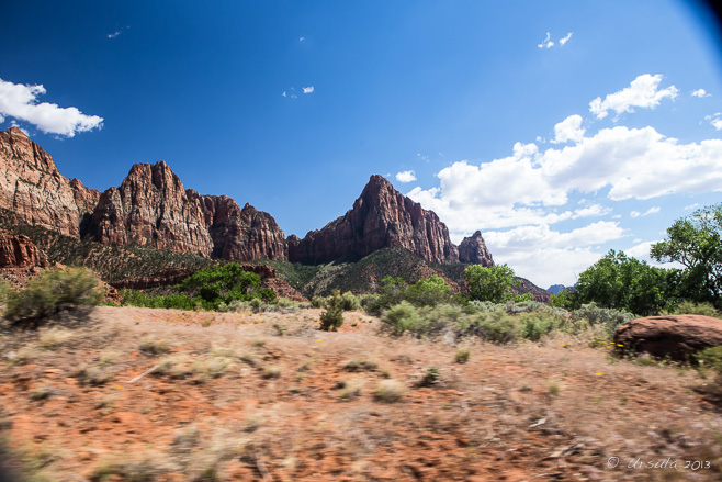
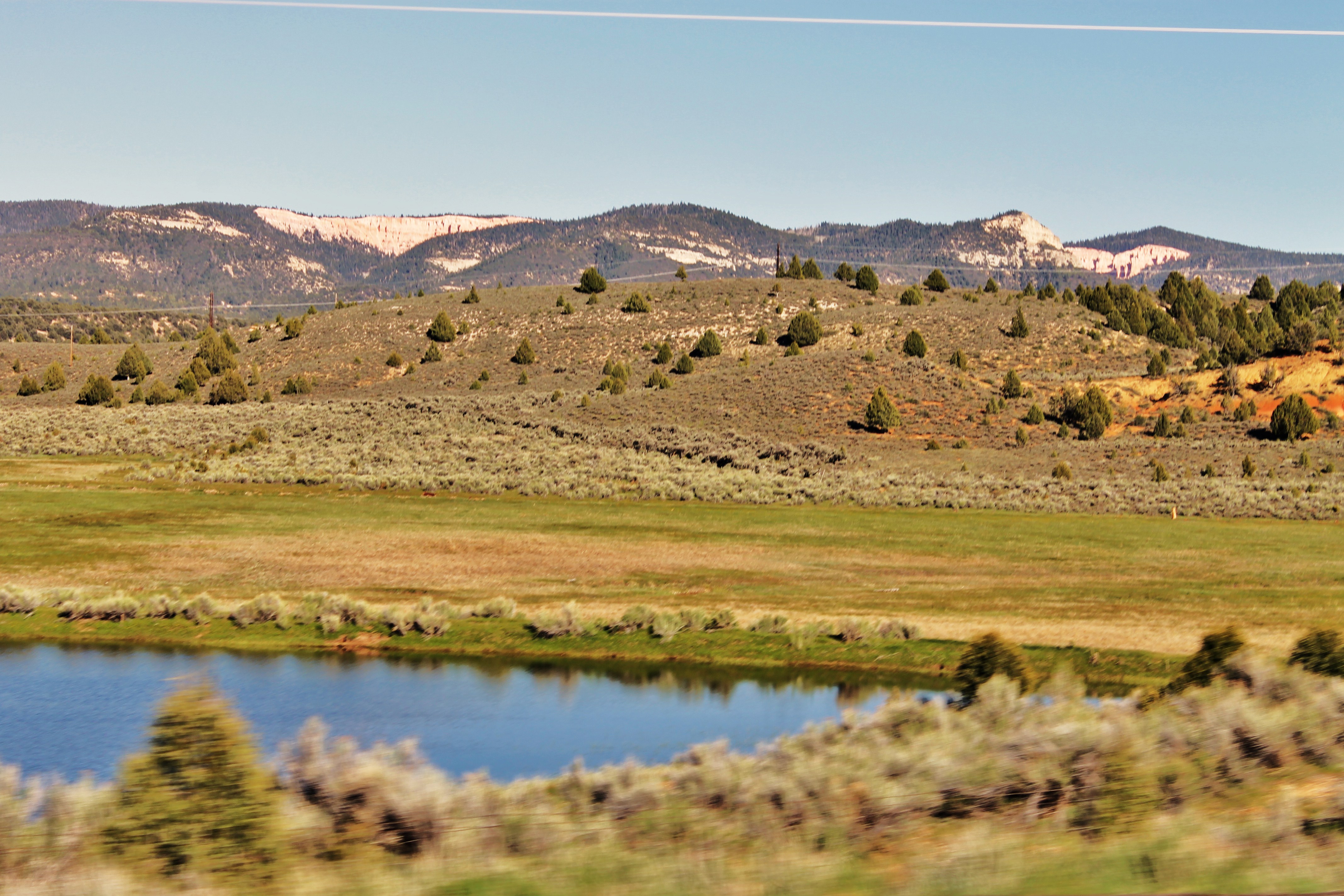
Scenes from a Car Window US-89N 0174

USA West

Scenes from a Car Window US-89N 0183
August 2008

IMG_3325.JPG
Scenes from a Car Window US-89N 0176

8_28_08 07_41 PM
DSC_7534.JPG

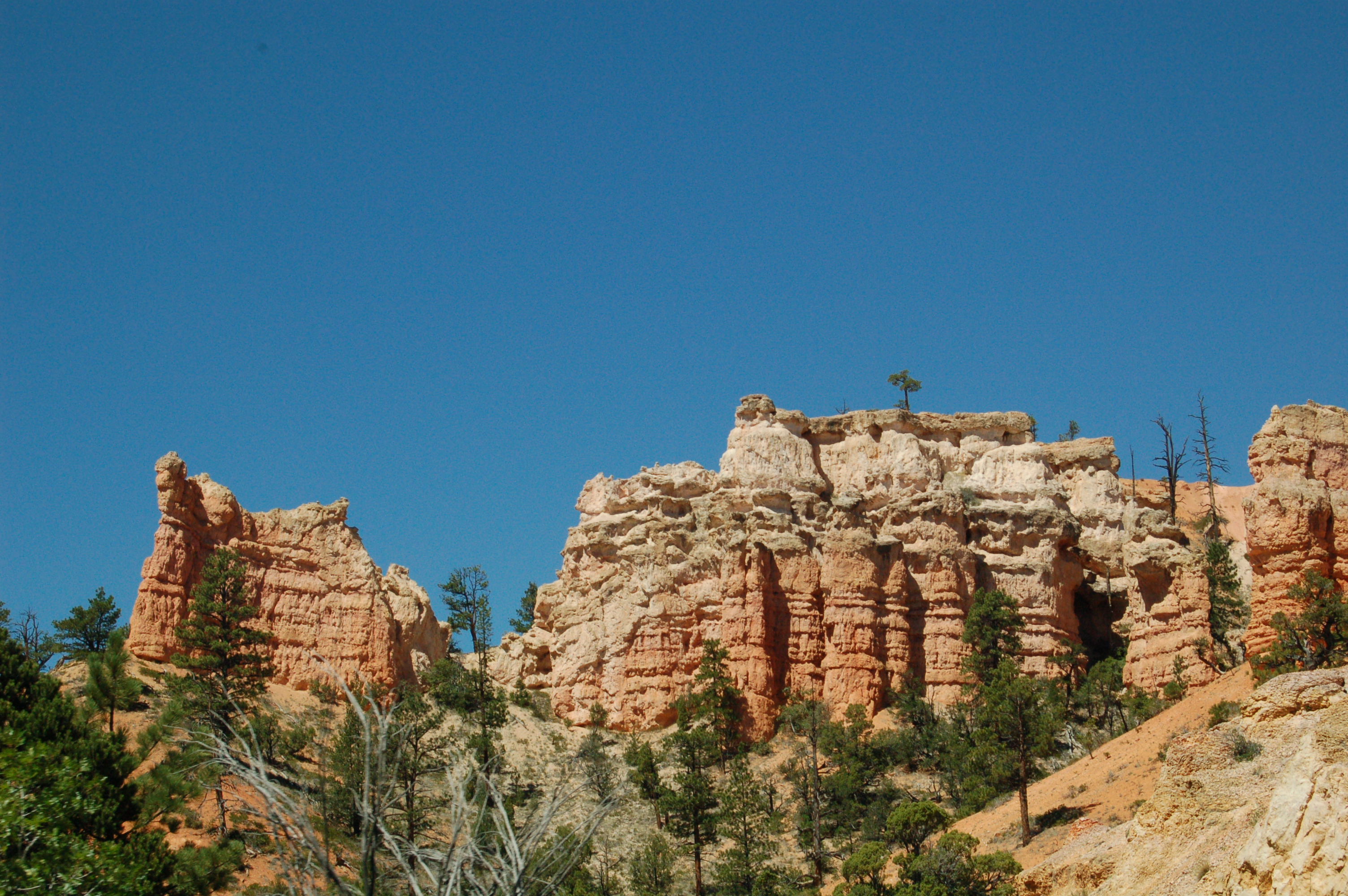
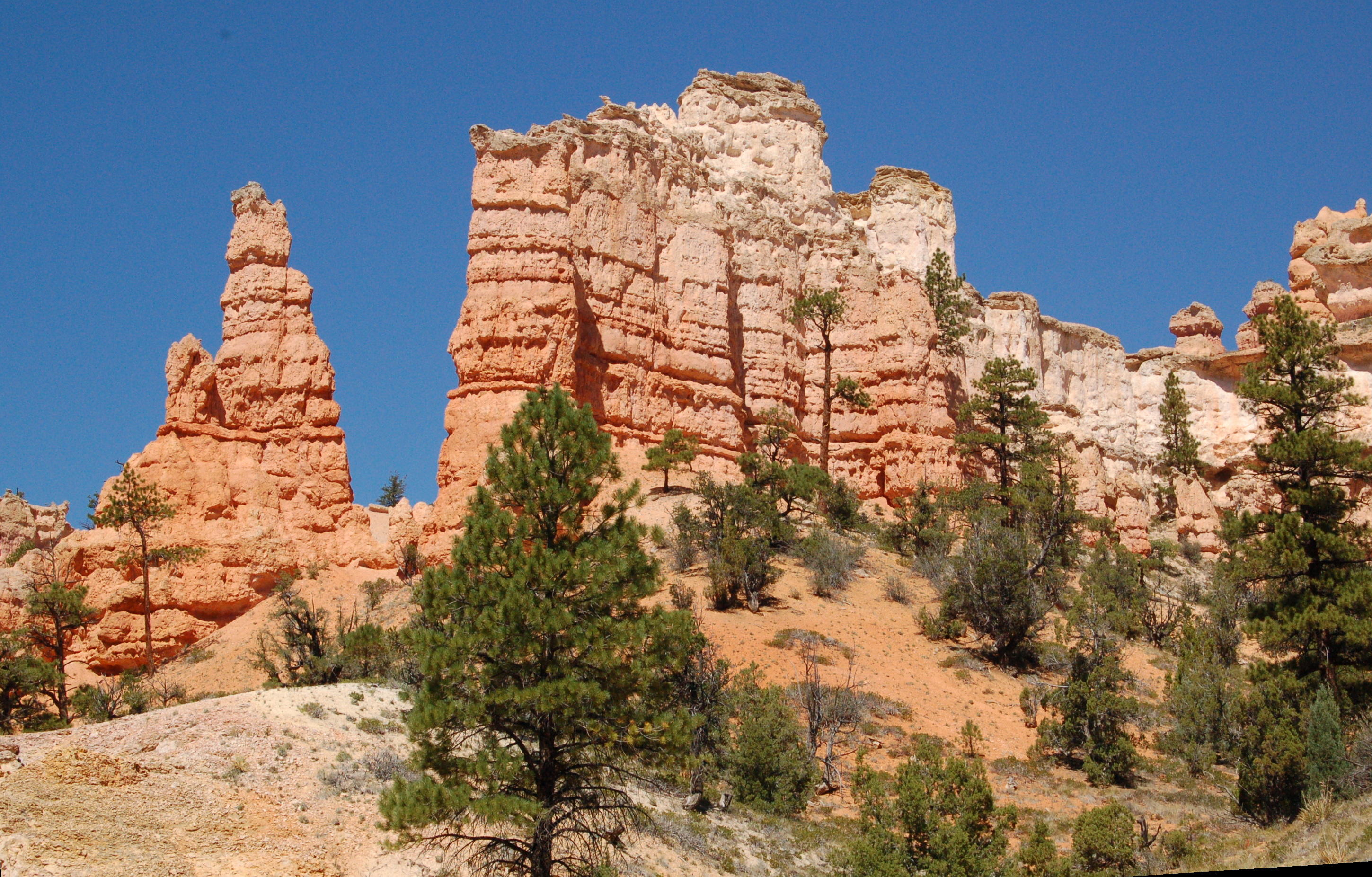
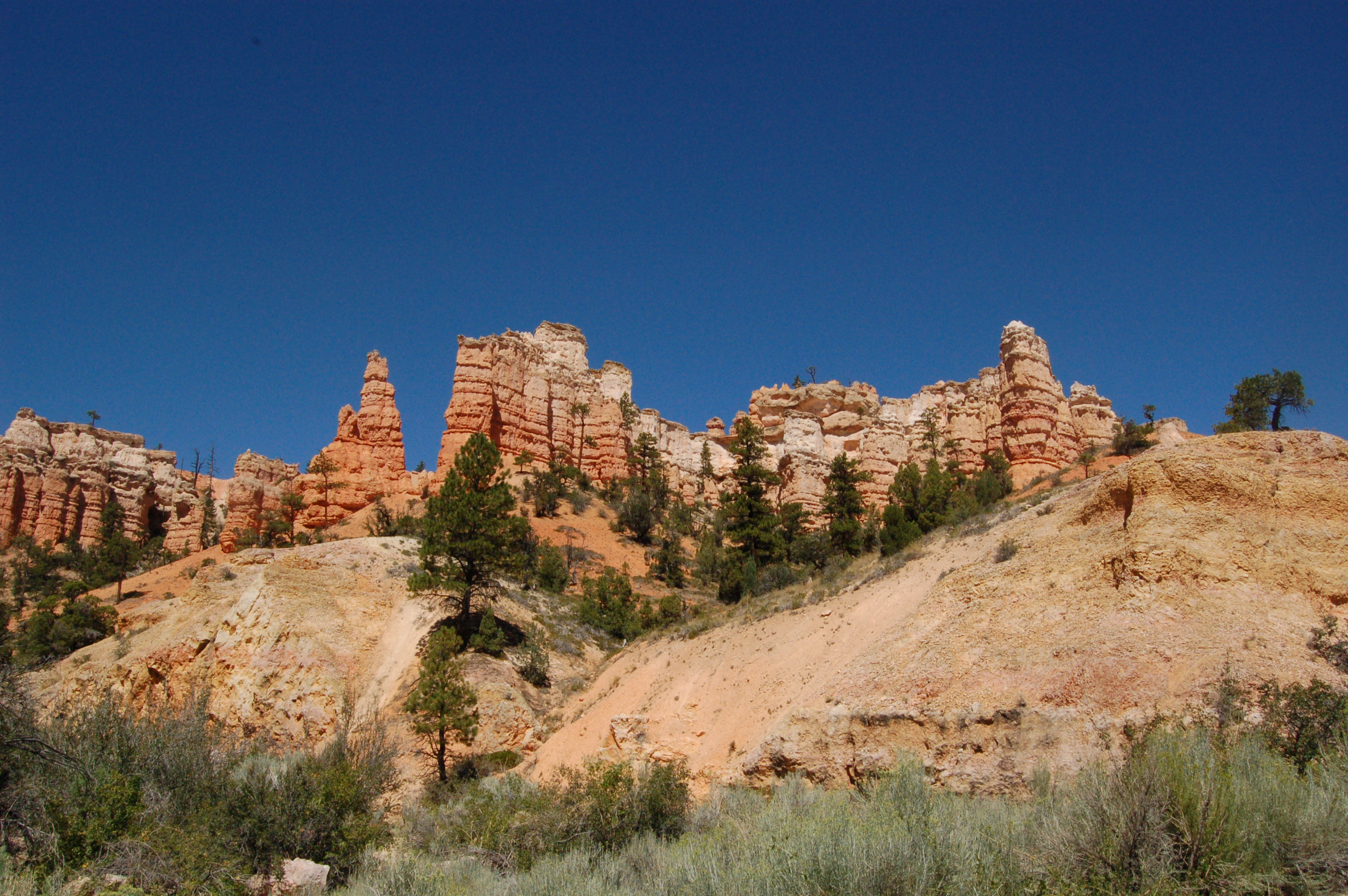
"Little Bryce" Along Hwy. 89, UT
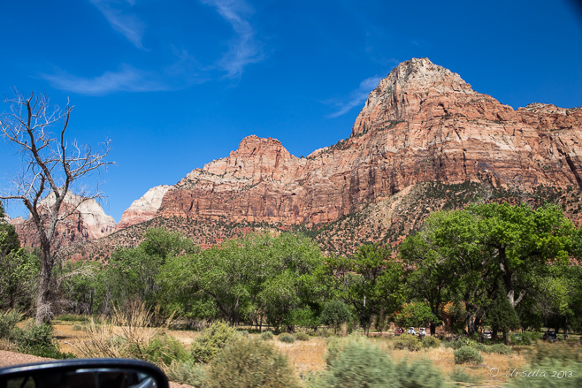
Scenes from a Car Window US-89N 0172
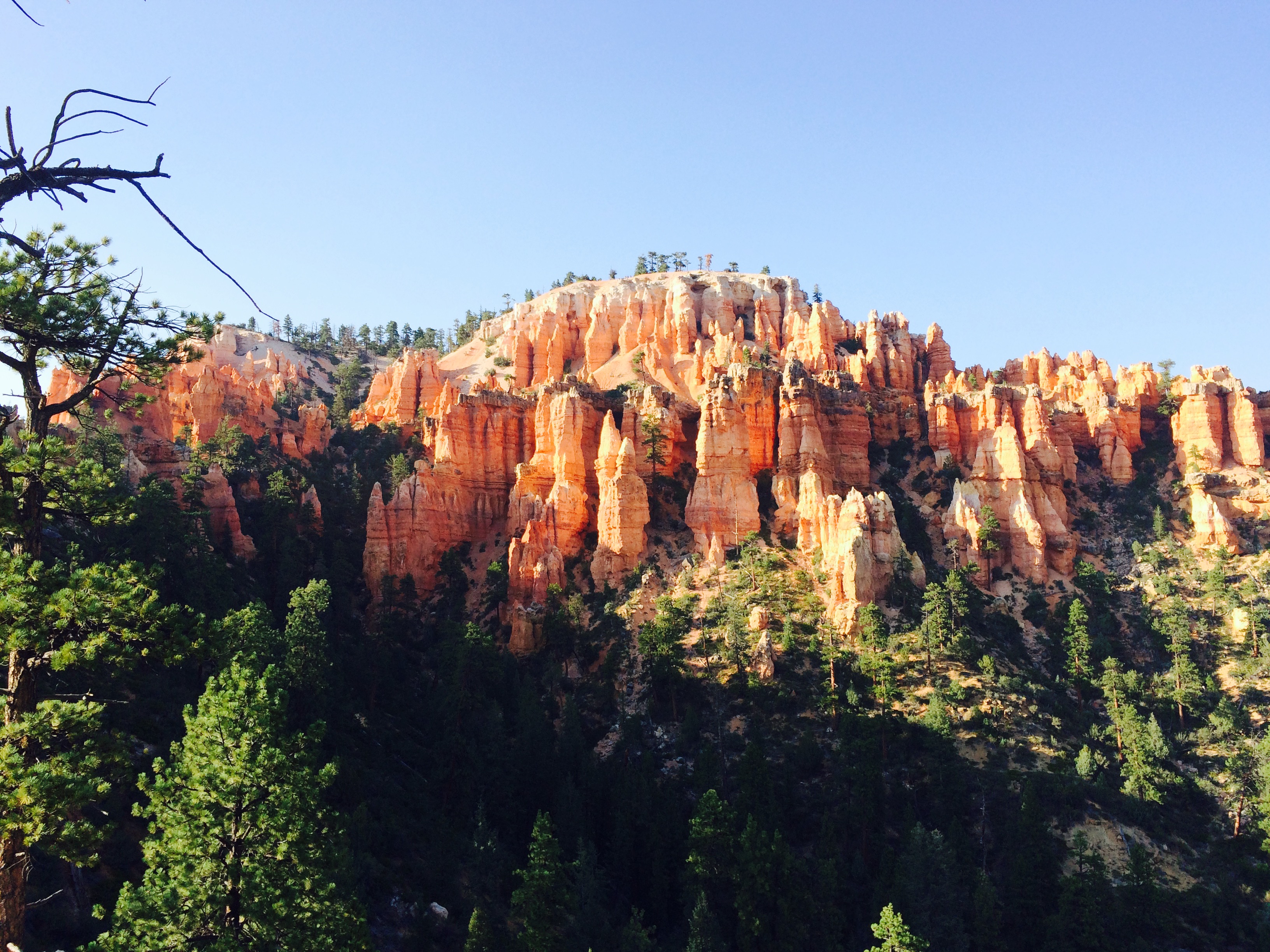
Stout canyon.
Camera Roll-868
Southern Utah Country
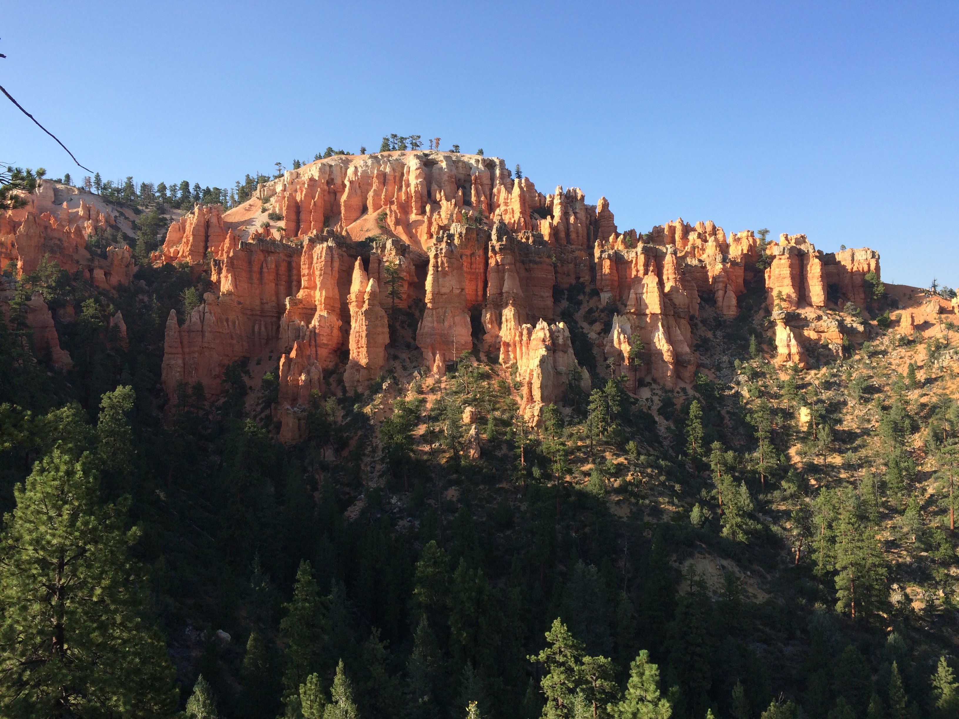
Stout canyon.
UT00 Strip
Topographic Map of Alton, UT, USA
Find elevation by address:

Places in Alton, UT, USA:
Places near Alton, UT, USA:
11 S 1st W St, Alton, UT, USA
2620 N Oak Rdg Rd
Kane County
Hatch
Mh38+rw
Natural Bridge
Rainbow Point
10710 E Wagontrain Cir
Johnson Canyon Road
5280 Johnson Canyon Rd
Bryce Canyon National Park
3800 Us-89
Qj58+5p
Red Canyon Visitor Center
Red Canyon Campground
Inspiration Point
Inspiration Point
Bryce Point
Sunset Point
Sunset Point
Recent Searches:
- Elevation of Corso Fratelli Cairoli, 35, Macerata MC, Italy
- Elevation of Tallevast Rd, Sarasota, FL, USA
- Elevation of 4th St E, Sonoma, CA, USA
- Elevation of Black Hollow Rd, Pennsdale, PA, USA
- Elevation of Oakland Ave, Williamsport, PA, USA
- Elevation of Pedrógão Grande, Portugal
- Elevation of Klee Dr, Martinsburg, WV, USA
- Elevation of Via Roma, Pieranica CR, Italy
- Elevation of Tavkvetili Mountain, Georgia
- Elevation of Hartfords Bluff Cir, Mt Pleasant, SC, USA