Elevation of Alpine Ave, Wickett, TX, USA
Location: United States > Texas >
Longitude: -103.00132
Latitude: 31.5678523
Elevation: 813m / 2667feet
Barometric Pressure: 92KPa
Elevation Map:
Satellite Map:
Related Photos:

Old Liquor

Sunset Motel

Deserted Car

Rattlesnake Bunker

Sunset Car

Abandoned Motel
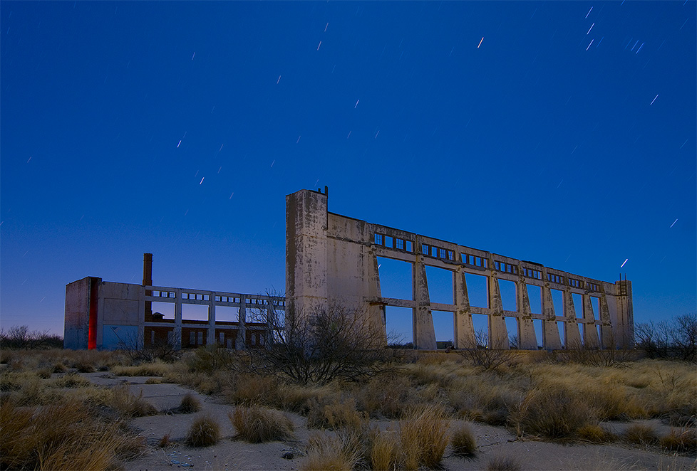
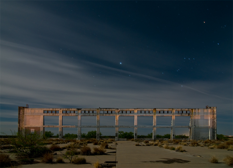
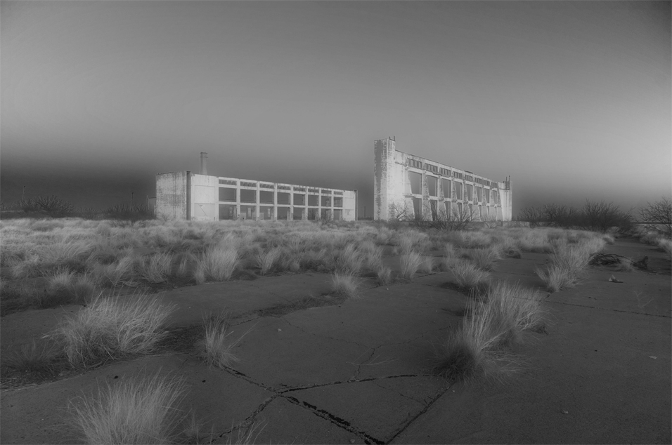
Rattlesnake Bomber Base

Storage Bay
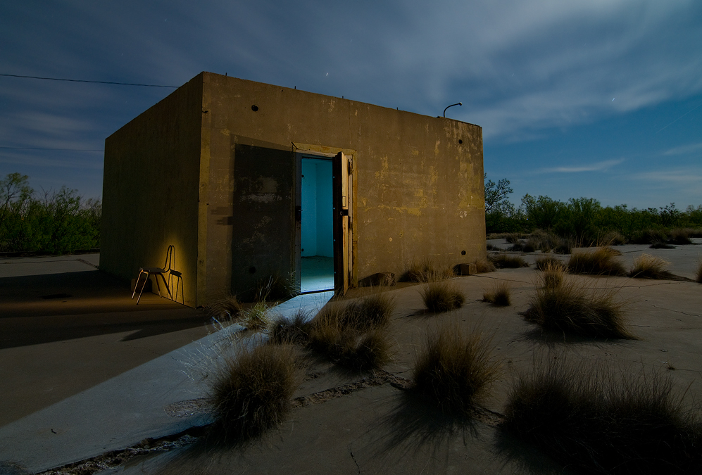
Bunker Revisited
Rattlesnake Reclamation
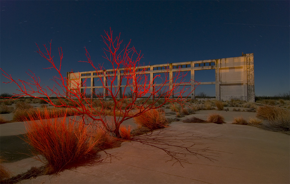
Burning Bush
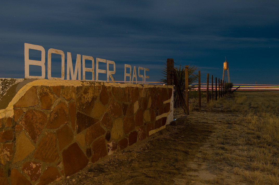
Bomber Base
Dreaming of Pyote
Texas 8
Topographic Map of Alpine Ave, Wickett, TX, USA
Find elevation by address:

Places near Alpine Ave, Wickett, TX, USA:
Wickett
Monahans
Pyote
Ward County
Pyote Flats
Winkler County
Ranch Road 2355
D Ave, Grandfalls, TX, USA
Grandfalls
Kermit
E Austin St, Kermit, TX, USA
1793 Co Rd 103
Border Road
Imperial
Unnamed Road
Unnamed Road
S Cedar St, Pecos, TX, USA
Pecos
Buena Vista Road
601 S Hackberry St
Recent Searches:
- Elevation of Corso Fratelli Cairoli, 35, Macerata MC, Italy
- Elevation of Tallevast Rd, Sarasota, FL, USA
- Elevation of 4th St E, Sonoma, CA, USA
- Elevation of Black Hollow Rd, Pennsdale, PA, USA
- Elevation of Oakland Ave, Williamsport, PA, USA
- Elevation of Pedrógão Grande, Portugal
- Elevation of Klee Dr, Martinsburg, WV, USA
- Elevation of Via Roma, Pieranica CR, Italy
- Elevation of Tavkvetili Mountain, Georgia
- Elevation of Hartfords Bluff Cir, Mt Pleasant, SC, USA