Elevation of Aloha Township, MI, USA
Location: United States > Michigan > Cheboygan County >
Longitude: -84.424613
Latitude: 45.483785
Elevation: 207m / 679feet
Barometric Pressure: 99KPa
Elevation Map:
Satellite Map:
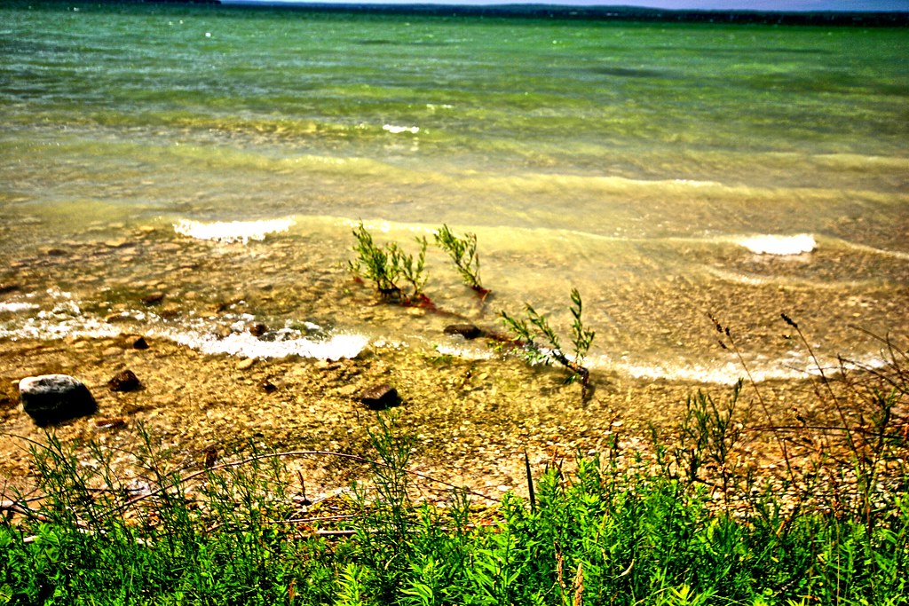
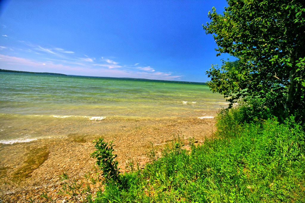
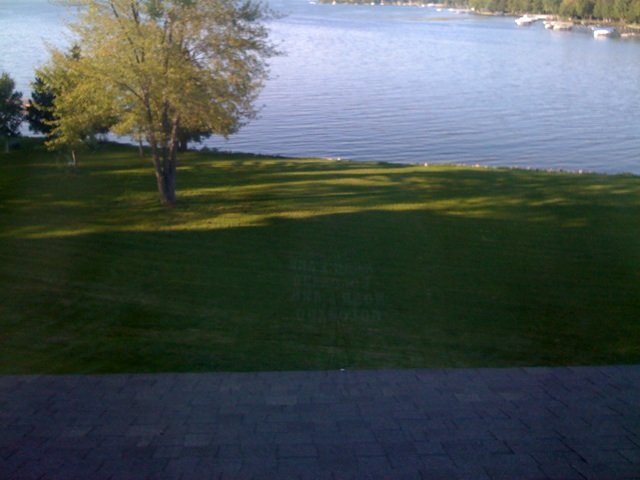
Related Photos:
Burt Township, Michigan - Topinabee Rest Area

A Golden Sunrise at Larry's Pond
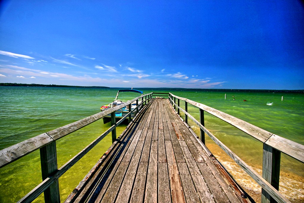
Pier going out into Mullet Lake
Lovely waters
Rocks reaching into the tropical waters
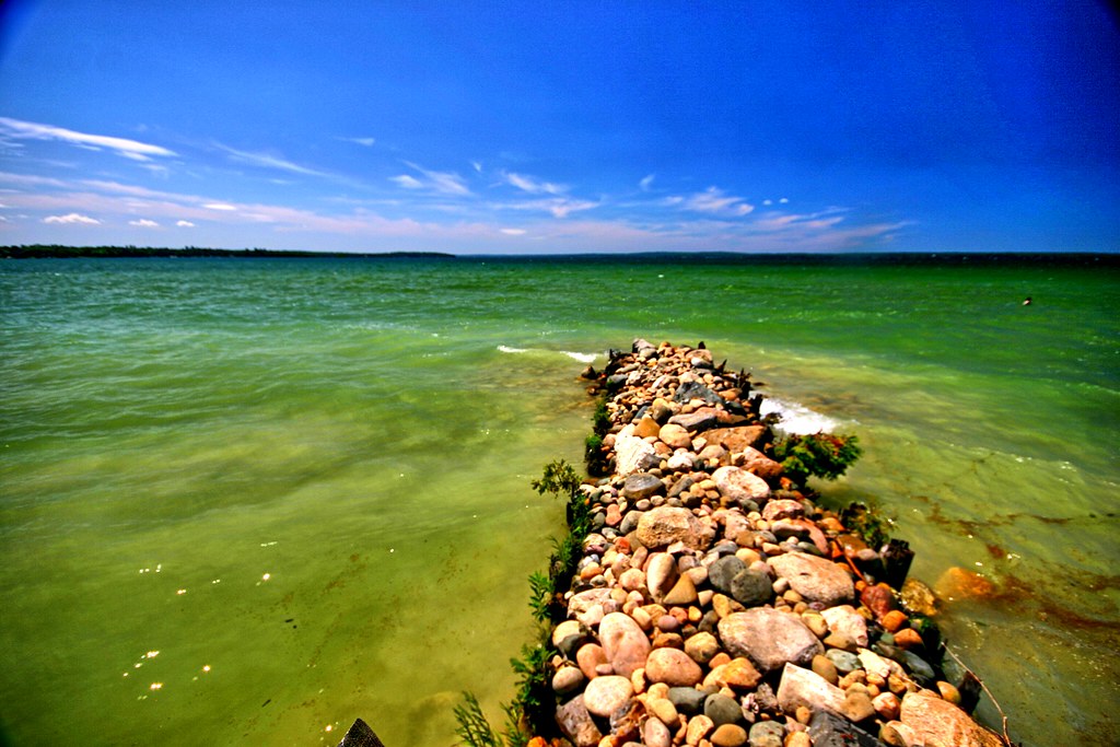
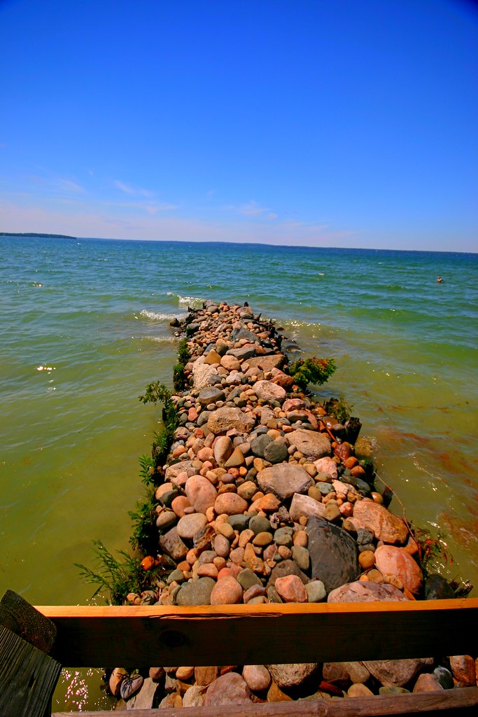
Pier of rocks
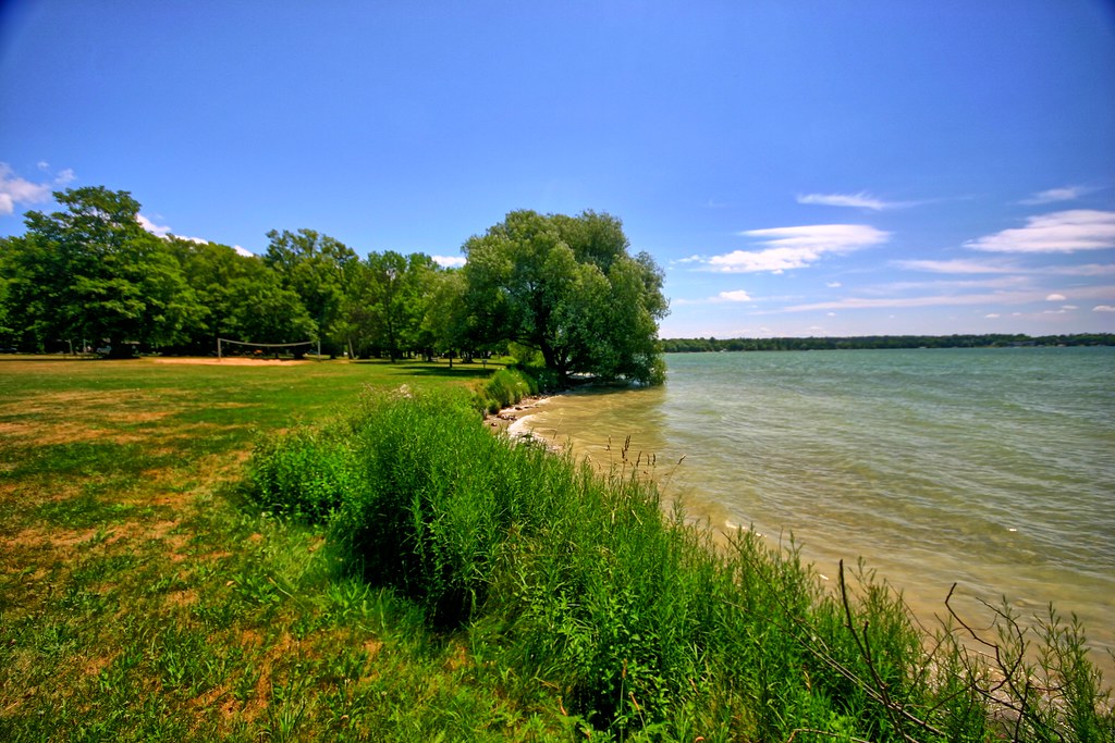
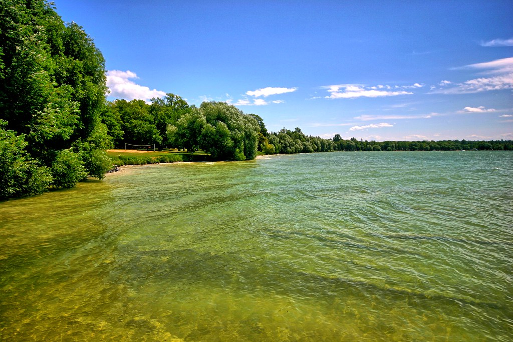
Lake side

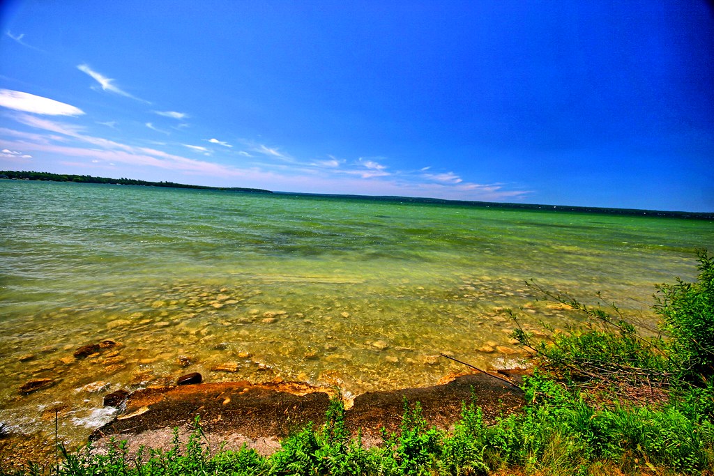
Inviting waters

Aloha State Park II
Pure Michigan!
IMG_0599 1
Majestic waters II
Majestic waters

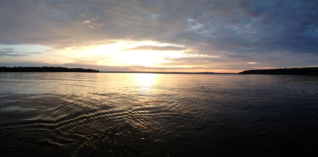
Moon & Venus Sets over Mullet Lake

Royal Oak Beach, Jul 15, 2008

2008-10-04 0810 Inland Waterway Trip 024
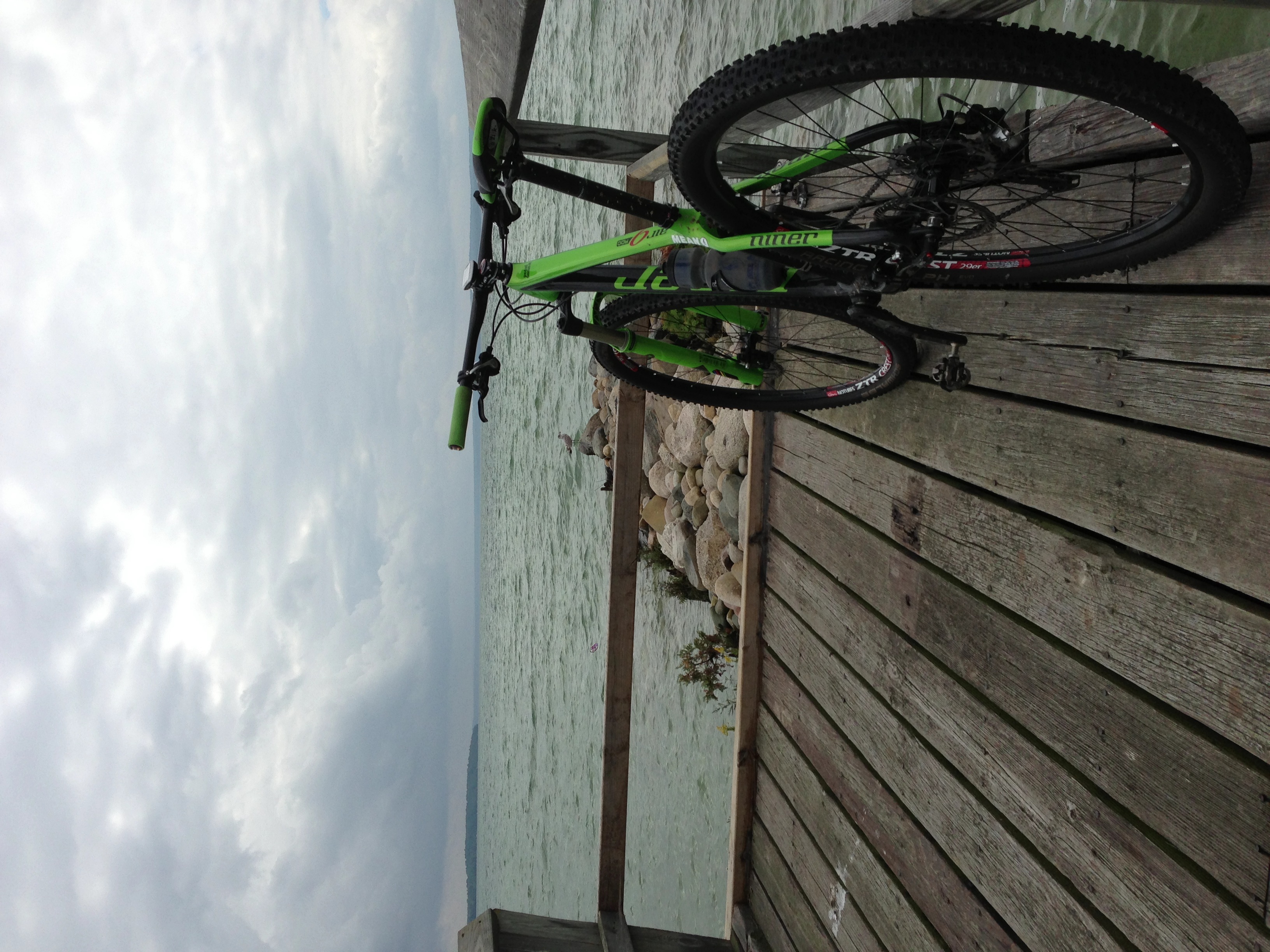
Niner Air 9 RDO
Topinabee, Aug 31, 2008

the pink dock

2008-10-04 0810 Inland Waterway Trip 023

moonrise over mullett lake - desktop
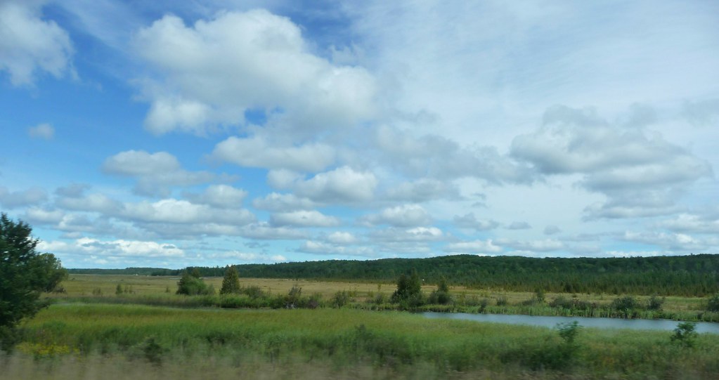
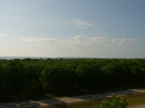
I-75 wetlands
Topographic Map of Aloha Township, MI, USA
Find elevation by address:

Places in Aloha Township, MI, USA:
Places near Aloha Township, MI, USA:
250 M-33
5031 Mann Rd
Mann Rd, Cheboygan, MI, USA
E Foote Rd, Cheboygan, MI, USA
Koehler Township
Mullett Township
Afton
M-68, Afton, MI, USA
782 E Shoreview Ln
Cheboygan County
7847 Afton Rd
Pleasant Beach Ct, Indian River, MI, USA
437 S Main St
338 Young St
Topinabee
E Numbers Rd, Indian River, MI, USA
Cheboygan
337 Dresser St
Cheyboygan Youth Center
581 N Straits Hwy
Recent Searches:
- Elevation of Corso Fratelli Cairoli, 35, Macerata MC, Italy
- Elevation of Tallevast Rd, Sarasota, FL, USA
- Elevation of 4th St E, Sonoma, CA, USA
- Elevation of Black Hollow Rd, Pennsdale, PA, USA
- Elevation of Oakland Ave, Williamsport, PA, USA
- Elevation of Pedrógão Grande, Portugal
- Elevation of Klee Dr, Martinsburg, WV, USA
- Elevation of Via Roma, Pieranica CR, Italy
- Elevation of Tavkvetili Mountain, Georgia
- Elevation of Hartfords Bluff Cir, Mt Pleasant, SC, USA