Elevation of Allsbrook, SC, USA
Location: United States > South Carolina > Horry County >
Longitude: -78.946419
Latitude: 34.0201701
Elevation: -10000m / -32808feet
Barometric Pressure: 295KPa
Elevation Map:
Satellite Map:
Related Photos:

We have arrived

there came a rustling in the leaves...

midnight in the corn field

spring blooms

blue iris

abandoned barn on a starry night

duck!! run!!
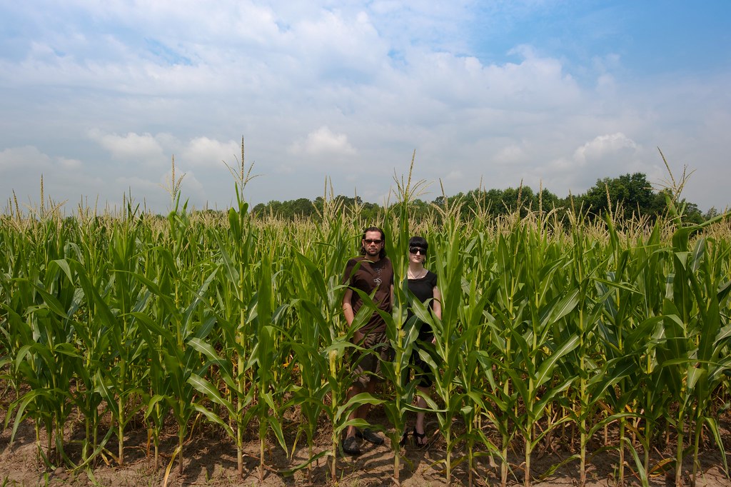
children of the corn

Happy New Year!

It Lies Beneath

Nose Knows

Sunset over Tabor City Sports Complex

Twin City Airport-Runway 8
Topographic Map of Allsbrook, SC, USA
Find elevation by address:

Places near Allsbrook, SC, USA:
SC-19, Loris, SC, USA
134 Palm Dr
7882 Sc-19
Allsbrook Road
900 Hornbeam Ct
505 Winged Elm St
256 Sweetbay Magnolia St
881 Gold Rush Ct
1901 Sc-45
1835 Sc-45
1292 Daisy Rd
1115 Sc-45
Cane Branch Road
1047 Us-701
1424 Porter Ln
Live Oak
Mcnabb Short Cut Road
1118 Sc-45
980 Sc-45
948 Sc-45
Recent Searches:
- Elevation of Corso Fratelli Cairoli, 35, Macerata MC, Italy
- Elevation of Tallevast Rd, Sarasota, FL, USA
- Elevation of 4th St E, Sonoma, CA, USA
- Elevation of Black Hollow Rd, Pennsdale, PA, USA
- Elevation of Oakland Ave, Williamsport, PA, USA
- Elevation of Pedrógão Grande, Portugal
- Elevation of Klee Dr, Martinsburg, WV, USA
- Elevation of Via Roma, Pieranica CR, Italy
- Elevation of Tavkvetili Mountain, Georgia
- Elevation of Hartfords Bluff Cir, Mt Pleasant, SC, USA