Elevation of Alexandria-Jacksonville Hwy, Jacksonville, AL, USA
Location: United States > Alabama > Calhoun County > Jacksonville >

Longitude: -85.7872

Latitude: 33.7965

Elevation: 192m / 630feet

Barometric Pressure: 99KPa

Elevation Map:

elevation map of Alexandria-Jacksonville Hwy, Jacksonville, AL, USA
Satellite Map:

Satellite map of Alexandria-Jacksonville Hwy, Jacksonville, AL, USA

Related Photos:

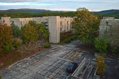
usa abandoned overgrown army decay urbandecay ghost alabama forgotten mcclellan ghosttown bootcamp decaying usarmy fortmcclellan anniston basictraining fortmac abandonedforgotten annistonal ftmcclellan twyns
Empty earning, a fierce returning
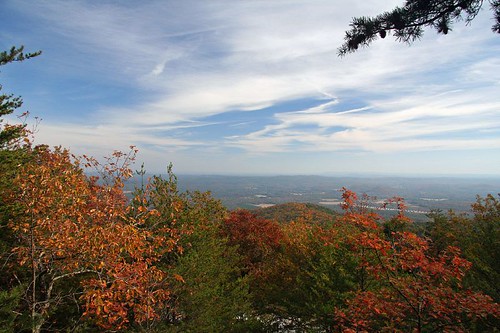
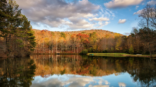
autumn mountains scenery naturesfinest blueribbonwinner supershot mywinners fallcolorlandscape naturefinest diamondclassphotographer flickrdiamond
Moorehead Mountain
football alabama jacksonville gamecocks jsu jacksonvillestateuniversity jaxstate
Paul Snow Stadium
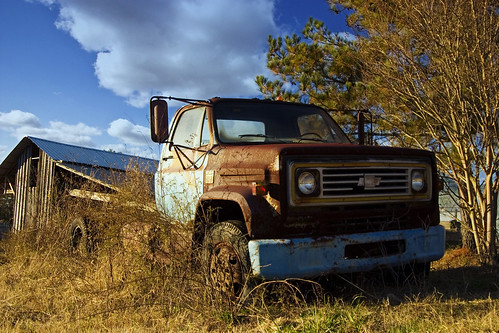
old truck canon country alabama chevy 10d canon10d
Daggum Truck
Rainy Day View
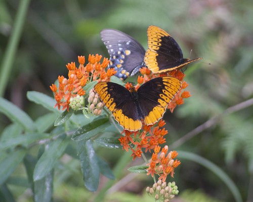
butterfly mimicry easterntigerswallowtail butterflyweed talladeganationalforest dianafritillary janicewagnon jwagnonphotography mimicpipevineswallowtail
Nom Nom Nom
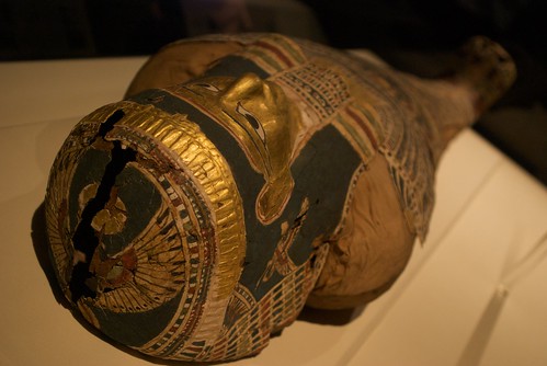
museum geotagged egypt exhibit mummy annistonmuseumofnaturalhistory
Here I Lie Golden, Till Death Be No More
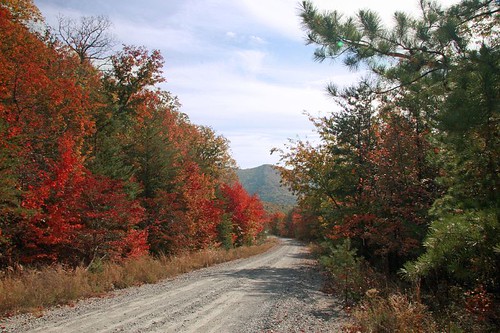
mountains scenery fallcolorlandscape
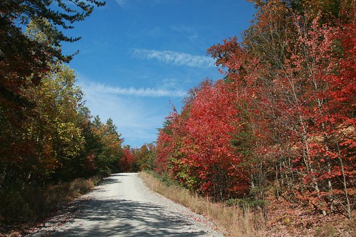
Bains Gap
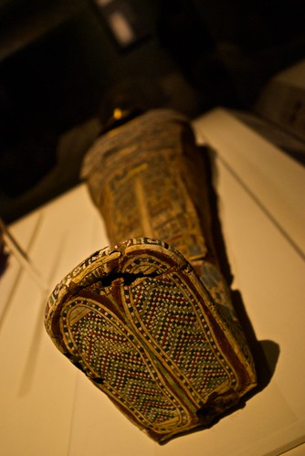
museum geotagged egypt exhibit mummy annistonmuseumofnaturalhistory sigma2870mmf284highspeedzoom
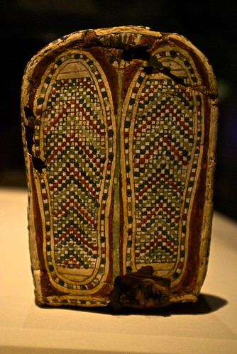
Beaded Sandals
mountains scenery abigfave fallcolorlandscape
Bains Gap Moorehead Mountain
old signs golf alabama puttputt anniston
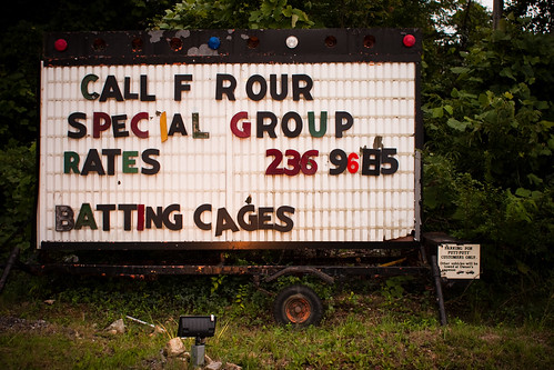
Unforgettable Signage
mountains scenery fallcolorlandscape
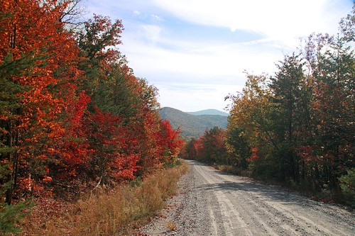
Bains Gap
race alabama woodstock 2009 5k anniston woodstock5k annistonrunners
360º Woodstock 5K Panorama
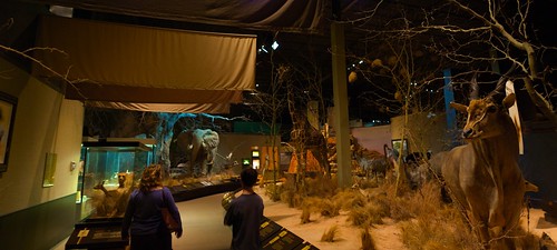
family panorama museum geotagged pano homeschool africanexhibit annistonmuseumofnaturalhistory
African Exhibit
museum geotagged egypt exhibit mummy annistonmuseumofnaturalhistory sigma2870mmf284highspeedzoom
I wonder why this one died?
museum geotagged egypt exhibit mummy annistonmuseumofnaturalhistory sigma2870mmf284highspeedzoom
Please Scratch My Feet
family panorama museum geotagged personal pano homeschool africanexhibit annistonmuseumofnaturalhistory
Why you should go to the Anniston Museum of Natural History
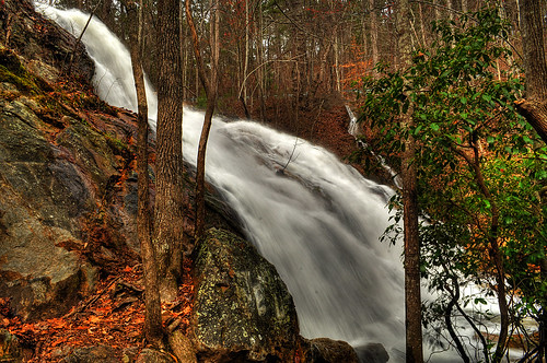
white plains fortmcclellan bainsgap alabamawatefalls bainsgapsfalls
Bains Gap Falls
leica film alabama anniston leicaiiif iiif
Yoshukai Karate
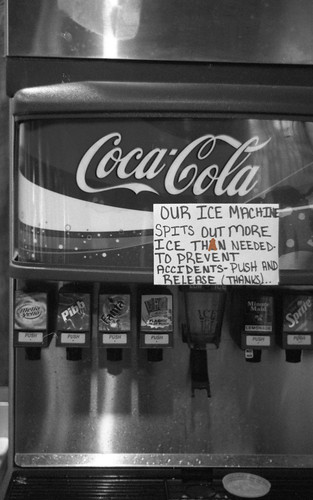
sign restaurant fastfood humor seafood misspell captainds
Coca-Cola
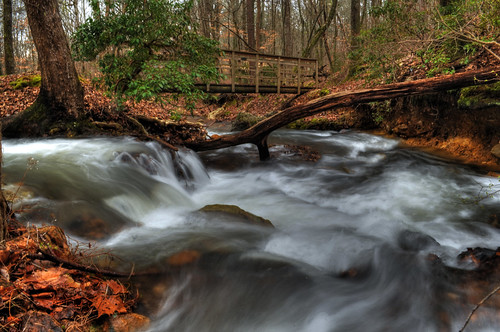
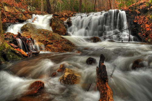
water creek waterfall hdr fortmcclellan calhouncounty alabamawaterfalls bainsgap bainsgapcreek bridgeatbainsgap
Bridge over Bains Gap Creek
johnslens hipstamatic blackeysbwfilm
Backyard storm
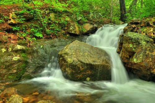
calhouncounty alabamawaterfalls bainsgap longleafpreserve
Lower Bains Gap Falls
lowerbainsgap bainsgapfalls fortmcclellanlongleafpreserve bainsgaptrail
Lower Falls at Bains Gap
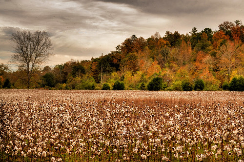
autumn farm cotton crop agriculture hdr cottonfield calhouncounty jacksonvillealabama kingcotton highcotton ruralalabama cottonpatch wellingtonalabama alabamacrops
Cotton Patch
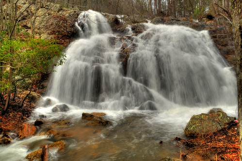
white mcclellan bainsgap countyalabama bainsgapwaterfall longleafpreserve plainscalhoun waterfallsfort
Bains Gap Falls
fortmcclellan calhouncounty bainsgap bainsgapwaterfall longleafpreserve whiteplainsalabama lowerbainsgapfalls
Bains Gap Falls
kilroywashere justuff
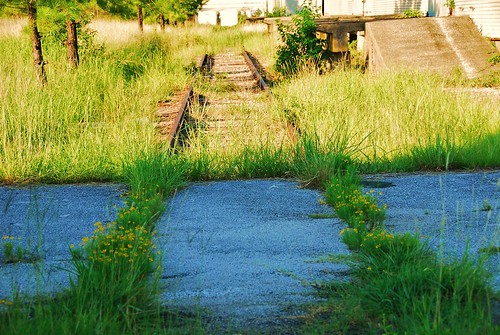
tracks to nowhere fast
usa al
Cool Morning
Anniston Thanksgiving
PS DSC_0223
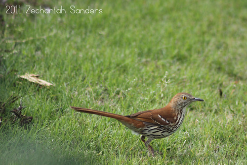
bird nature animal photography avian brownthrasher toxostomarufum photozech
Thrasher 1
square squareformat iphoneography instagramapp uploaded:by=instagram foursquare:venue=4da7b7134df0af29b6fe74ae
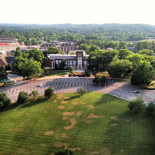
Bibb Graves from above. A lot of memories there for me.
mavica kilroy justuff
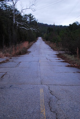
road to nowhere
MFs eye 005
barn farm ruralalabama calhouncountyalabama wellingtonalabama
Wellington Barn
IMAGE_9BC71865-901E-4974-9FB0-E03D1723F616.JPG
IMAGE_208782C2-D78E-42B4-9FDF-A02F0277C128.JPG
IMAGE_000E2877-4BDB-445C-9C71-6CABC00E7667.JPG
IMAGE_0E3CF714-0A86-495C-B890-66D84C1C9EAD.JPG